Here is the offical BC Park Cathedral Provincial Park and Protected Area web site As of Sept 2008 here is the park map (PDF)
Cathedral Park is a very interesting place. If you're in good hiking shape there is only about
4 days of hiking in this park - each day being about 25 km with 1km of elevation gain or less.
The main campground is ringed by peaks and since the park core is at 2,000m, the peaks at 2,550m
are not that much higher.
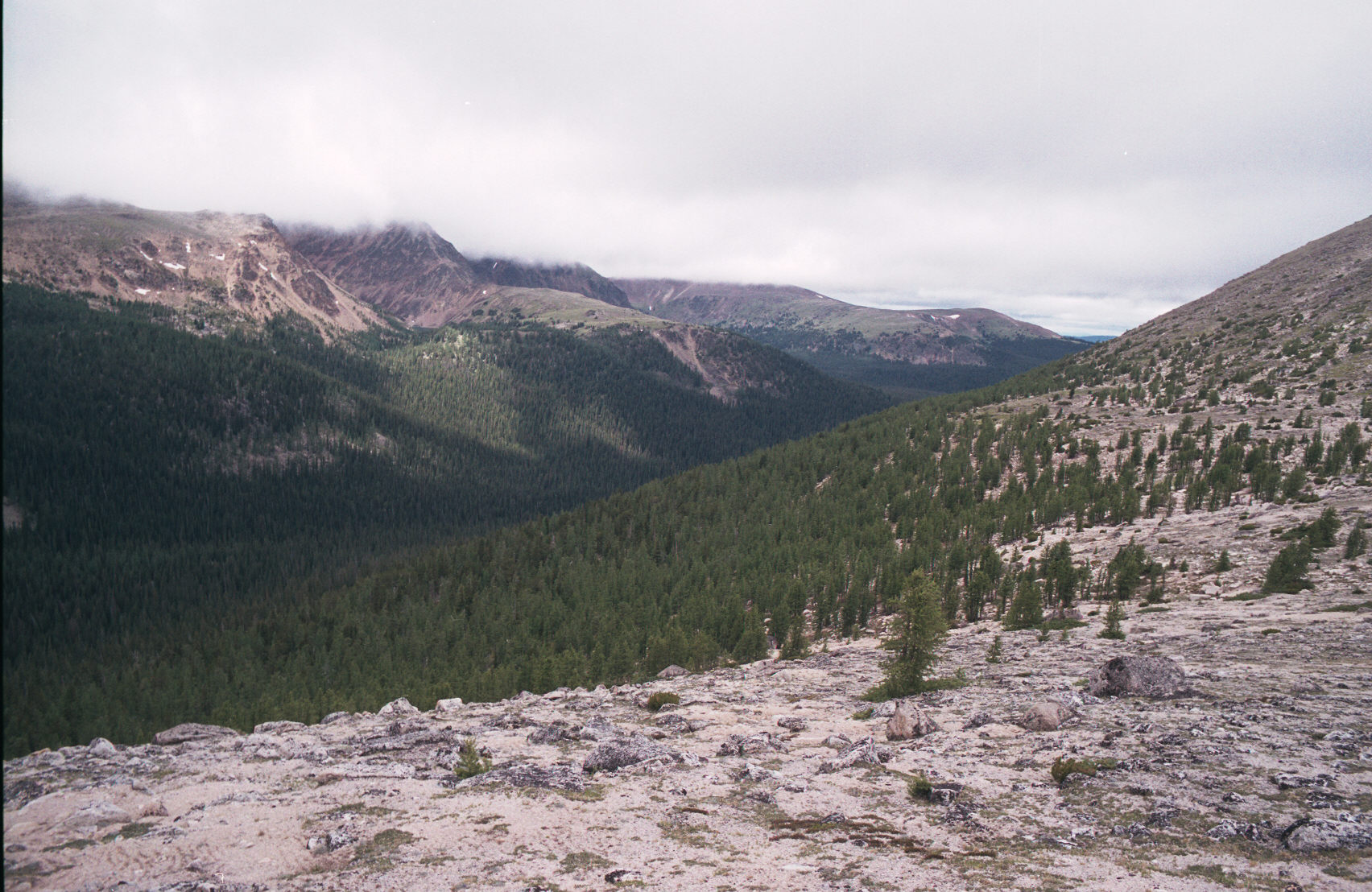
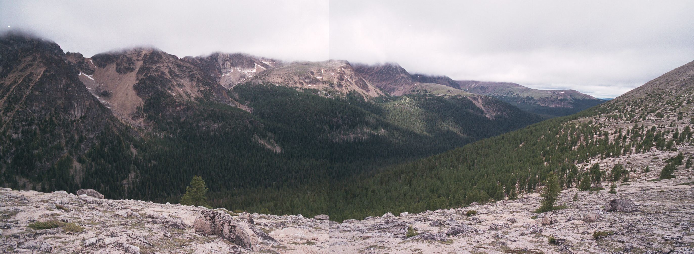
But since this park is very high, low clouds can quickly ruin the entire view.
All 3 hikes into the park are quite a good workout. What some people did was get a lift into the
park core from Cathedral Lake Lodges ($40 one way, $75 return) and then hike back with just a
daypack. The Lodge does server all 3 meals and provides comfort that you would not find in a
"backcountry" camping park!
There can be huge temperature differences between the valley below and the park core. When I left
it was 5C and very windy in the park core and 25C and calm down in the valley. It takes aprox.
50 min. for them to drive you into or out of the park.
This was a disapointing park in the sense that the film in my camera was not advancing so I lost
pictures from about 1 and 1/2 days worth of hiking.
The previous day I'd hiked 1/2 of the way into the park (7 km) at which point I'd turned around.
I started at the Lakeview Trail. There were 5 cars in the parking lot, 4 of which were people
who were just camping there - some didn't even know about the hikes and the main campground up
in the mountains!
The hike upto the park is aprox. 16 km with 1.5km of elevation gain. It's a long hike and steep
at points. I started at 8:20am, took a wrong turn at 10:05am and stoped at the viewpoint at 10:39am.
By 11:20am I was at the 7km marker (7km in 3 hours). The hike back down was just under 2 hours!
At 6km you've hiked most of the elevation gain to a nice view point. The majority of the
hike is high and dry - without any sources of water. I only had 2L of water and my hiking pace
was slowing from the 3km/h I'd started with.
At least they have markers every now and then so that you know you are actually on the correct trail!
One of the places where the hiking trail crosses the road I didn't see the arrow on the tree and I
continued along the old trail - that eventually petered out to nothing. It was very nice getting out
of the forest at aprox. 6km and seeing the destination.
I then hiked back down and took the Cathedral Lakes Lodge taxi to the main park area. I hike about 5 km and saw some wonderfully blue, clear, skys reflecting off of the lakes. Unfortunately the camera film was not winding so all of those pictures were lost. Temperatures peaked at 12C with a lot of wind. I took a jump in the lake - my first "wash" in days.
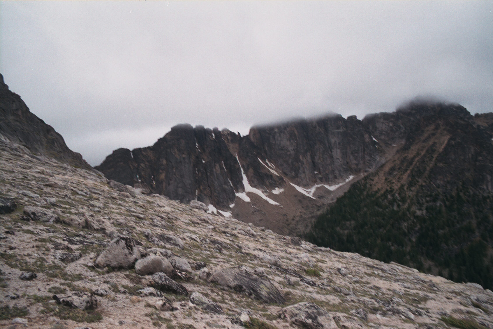
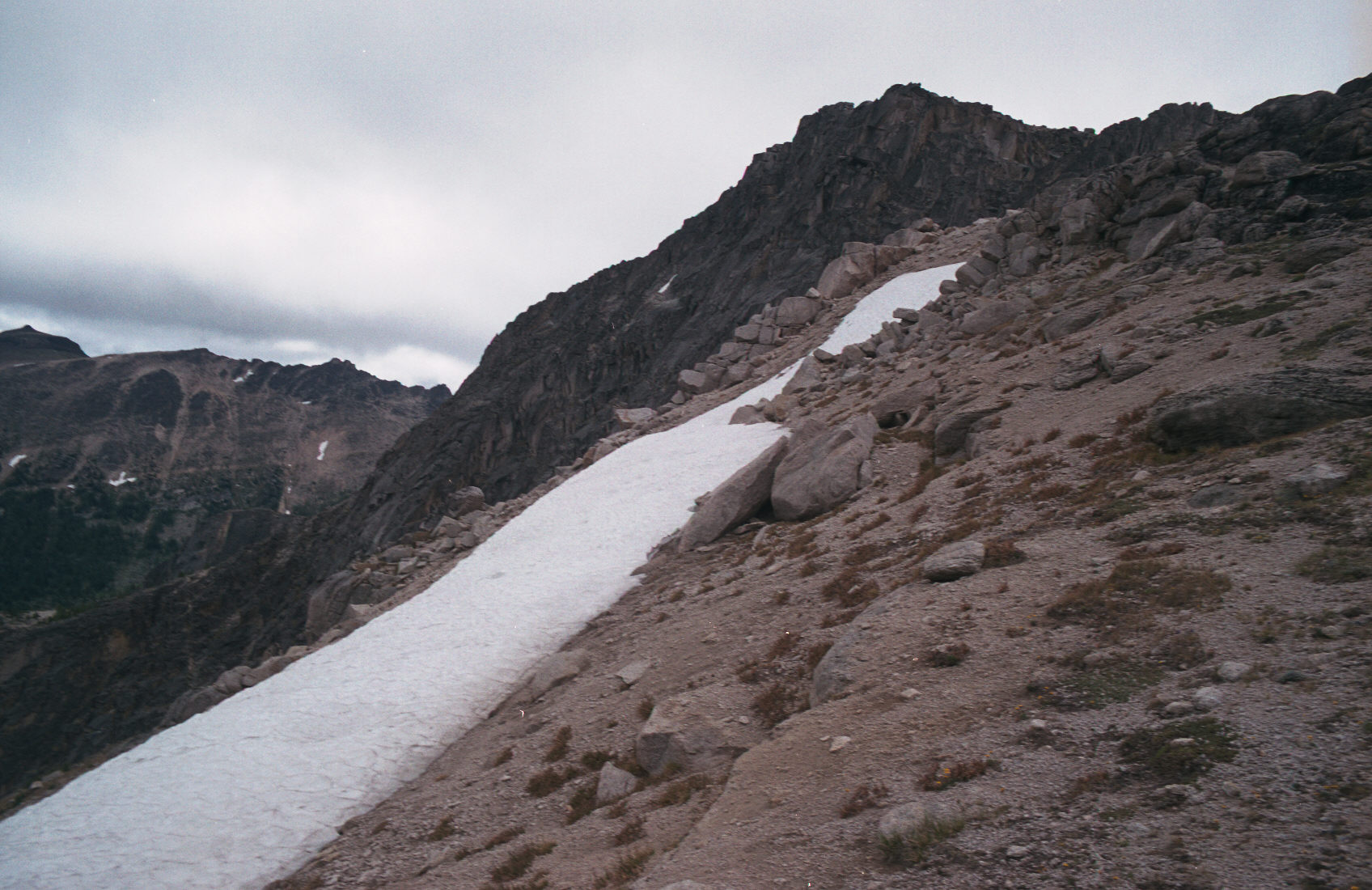
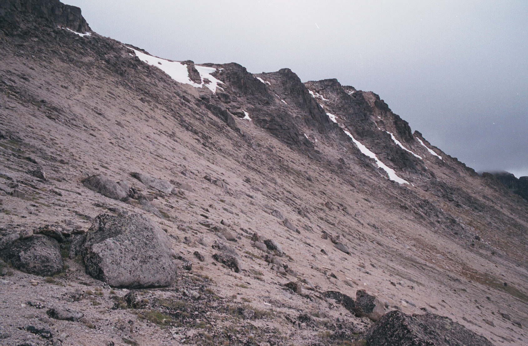
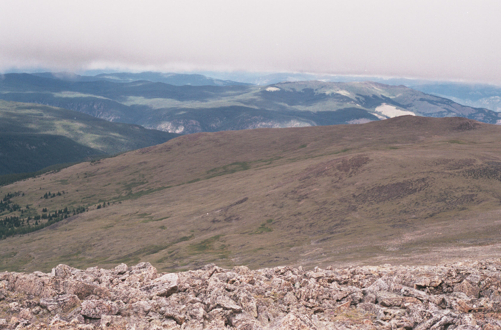
This is the view towards the Boxcar. There is a very weak trail on the rock.
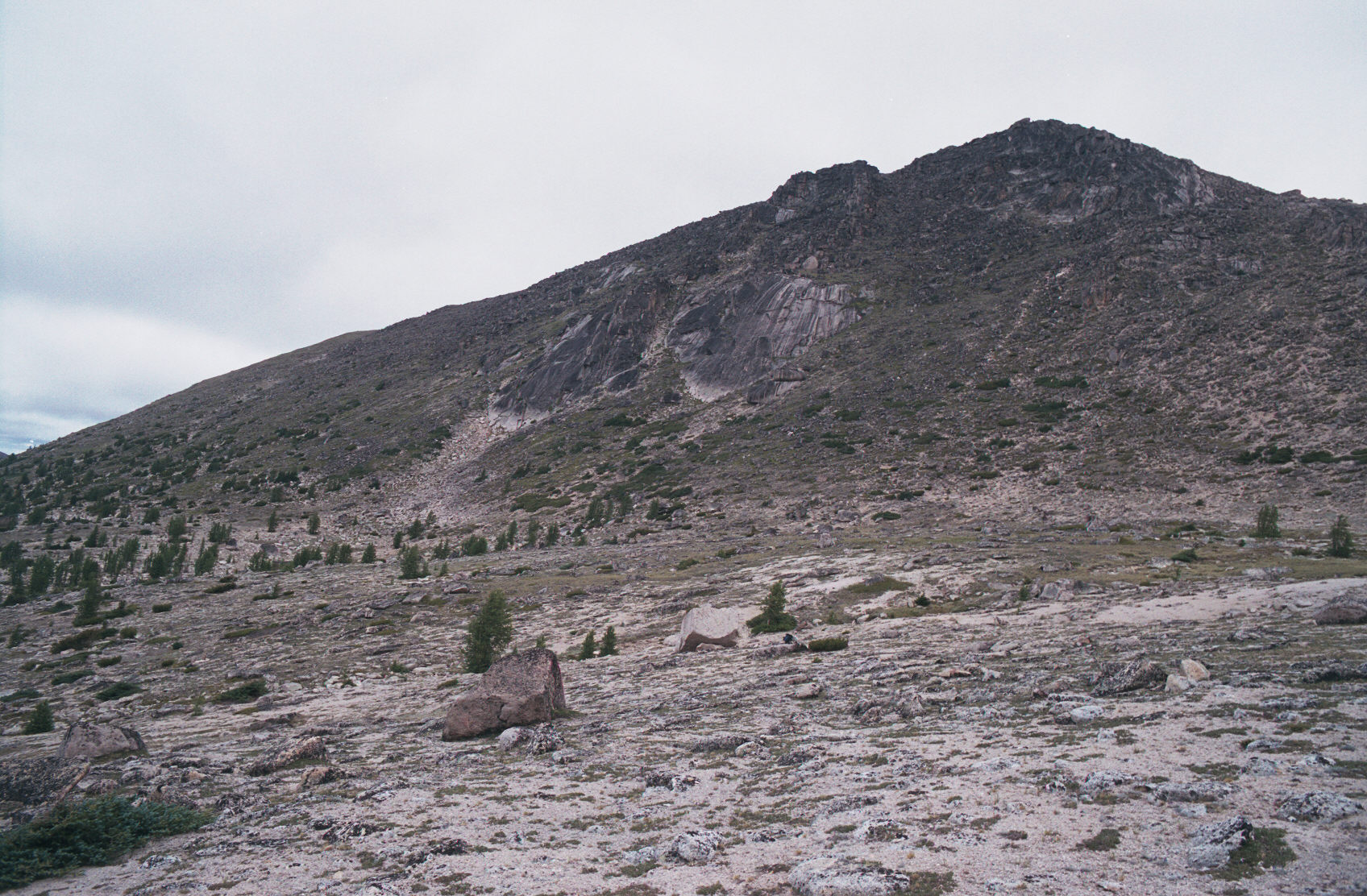
The trail now, seemingly, slowly climbs the back side of Lakeview Mountain. You don't have to worry about charging
straight up towards the apparent peak. What you are looking at is a ridge. The easiest way up is the very weak trail
behind the peak. Cairns are your guide to trying to stay on the trail. The trail is very weak here.
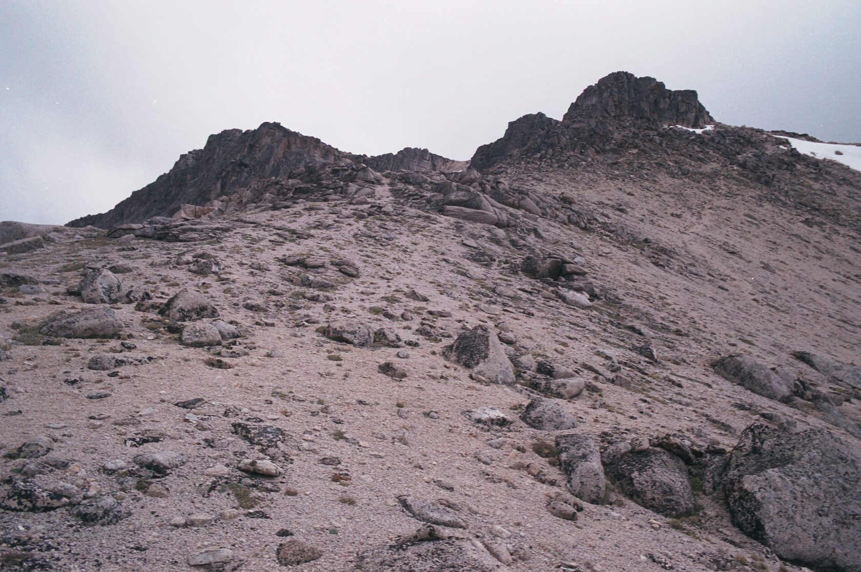

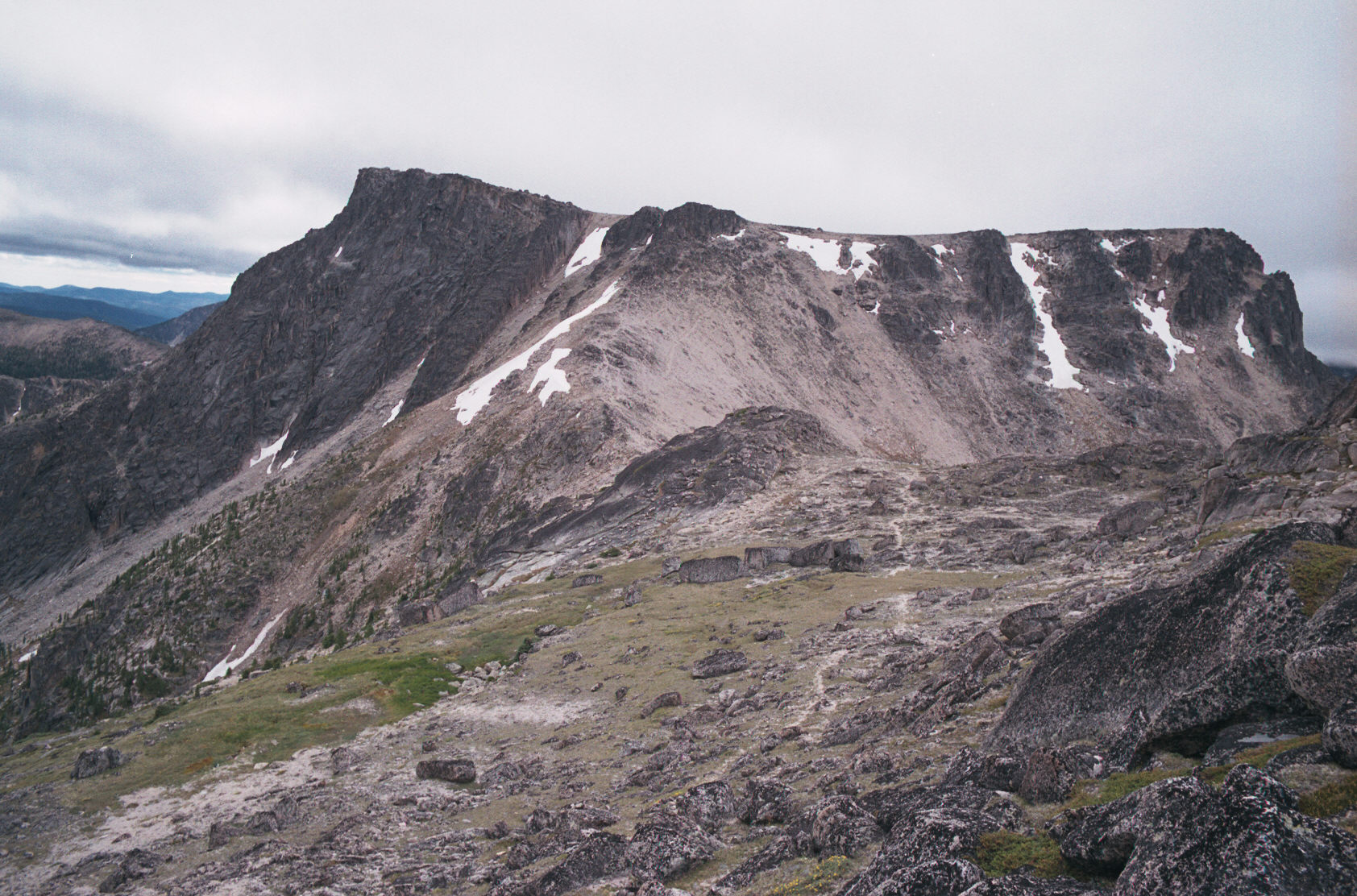
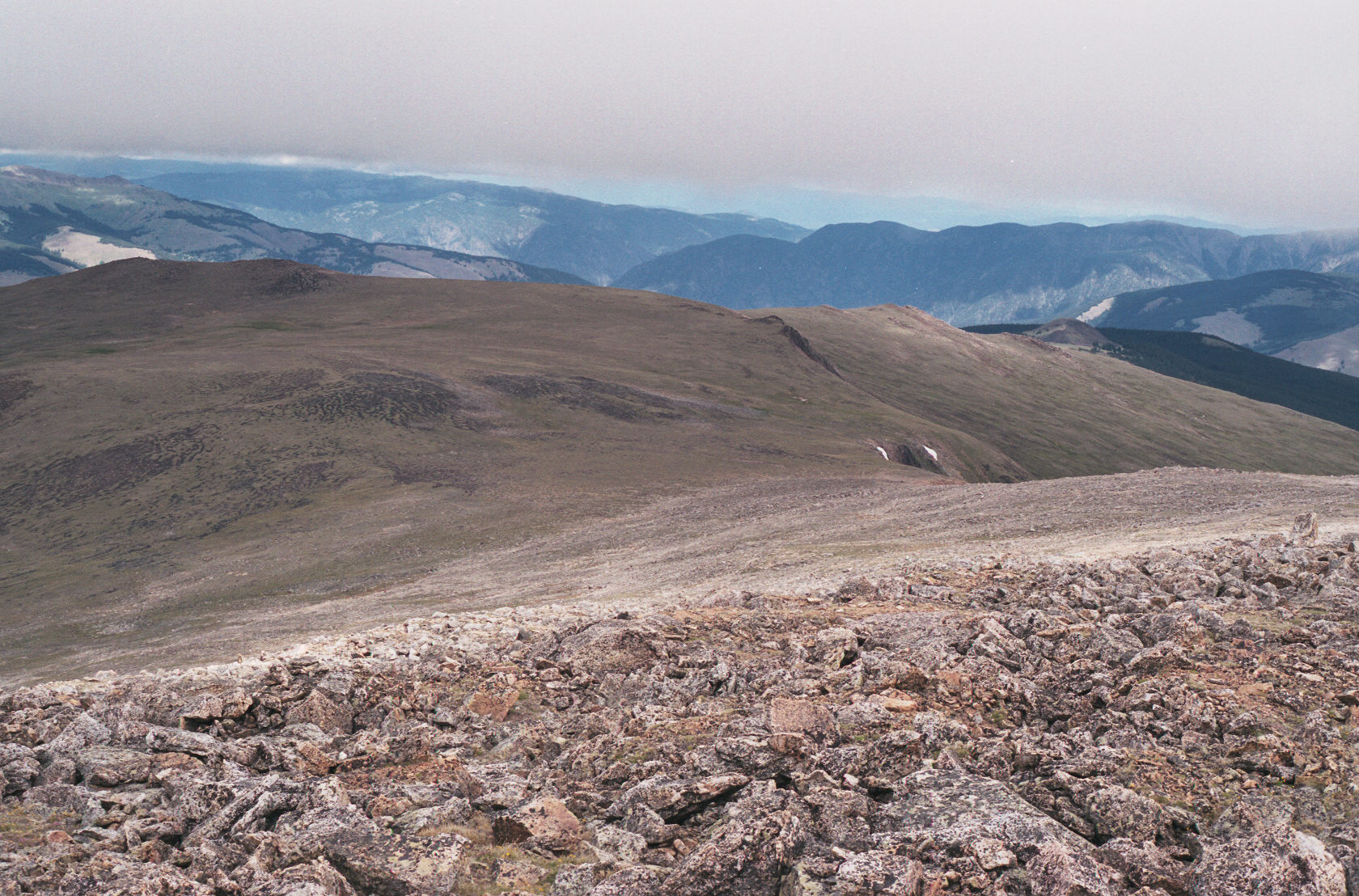
This is a nice view backwards to the Boxcar. You can see the weak trail, the col that I came up and a weak trail,
at points, going up the boxcar.
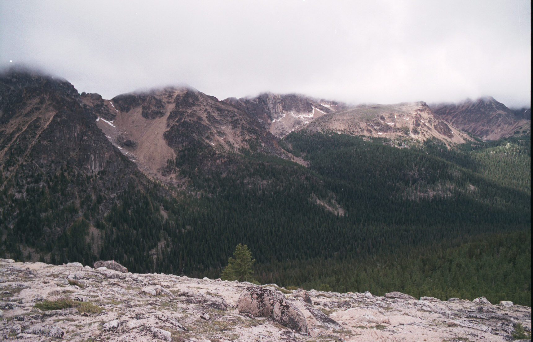
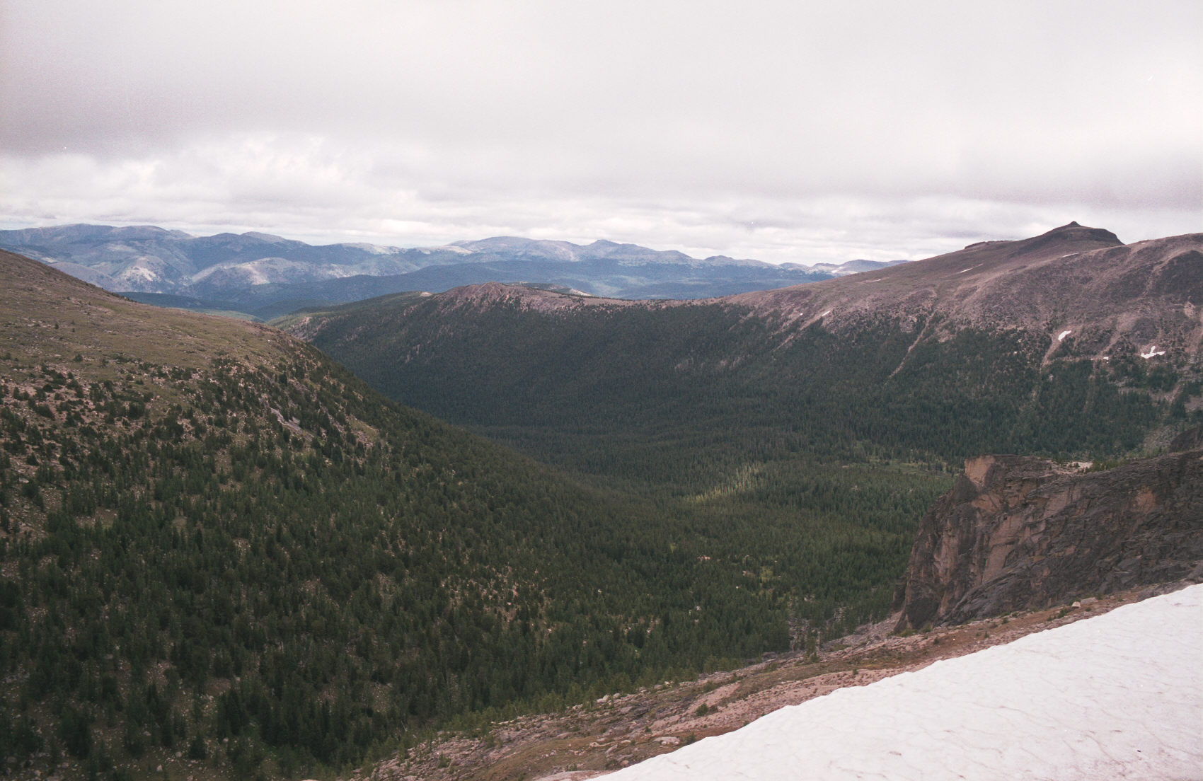
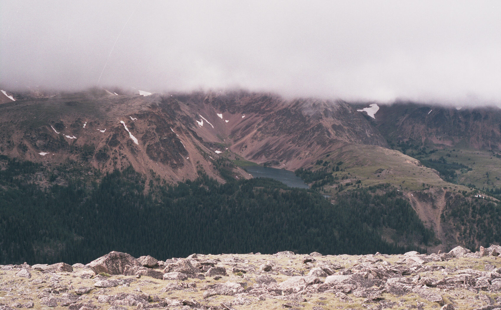
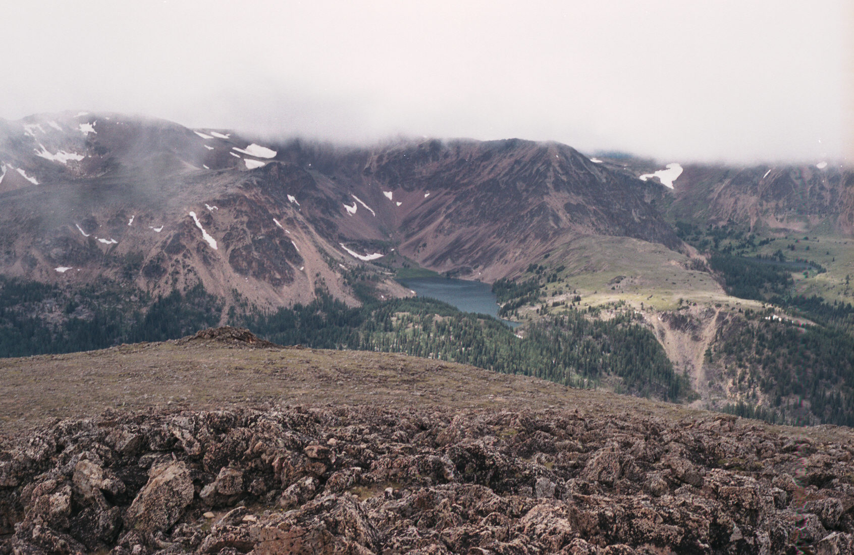
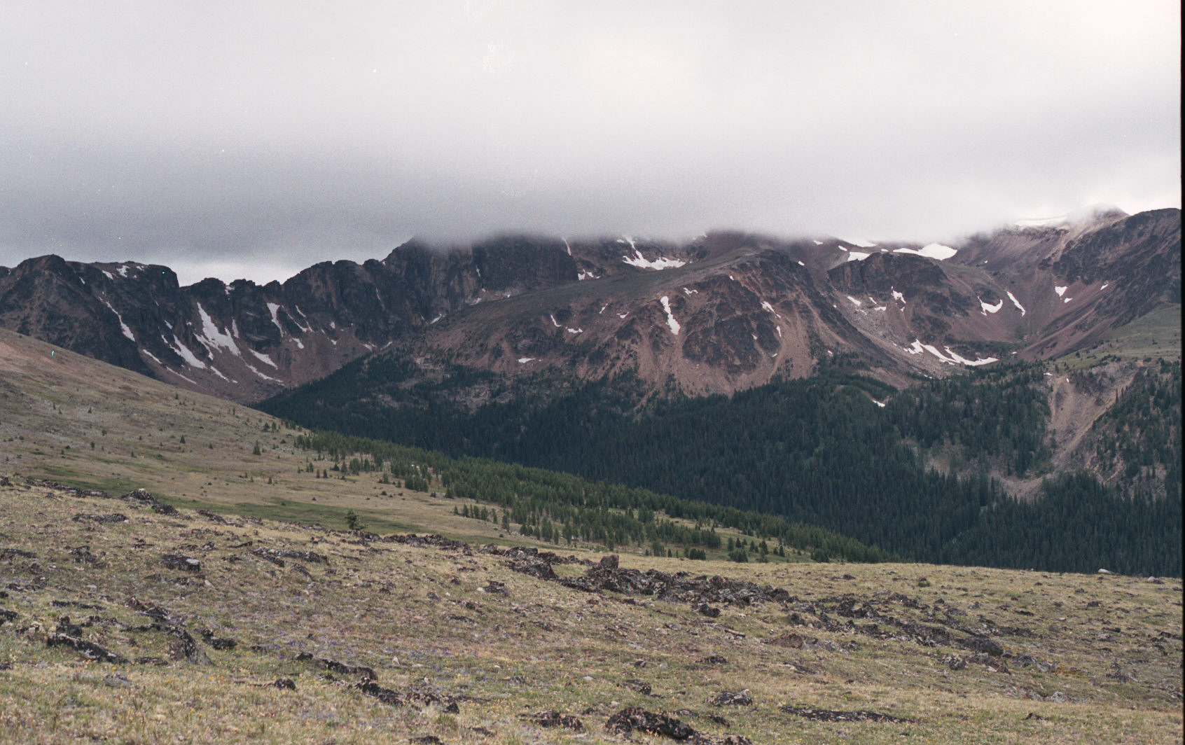
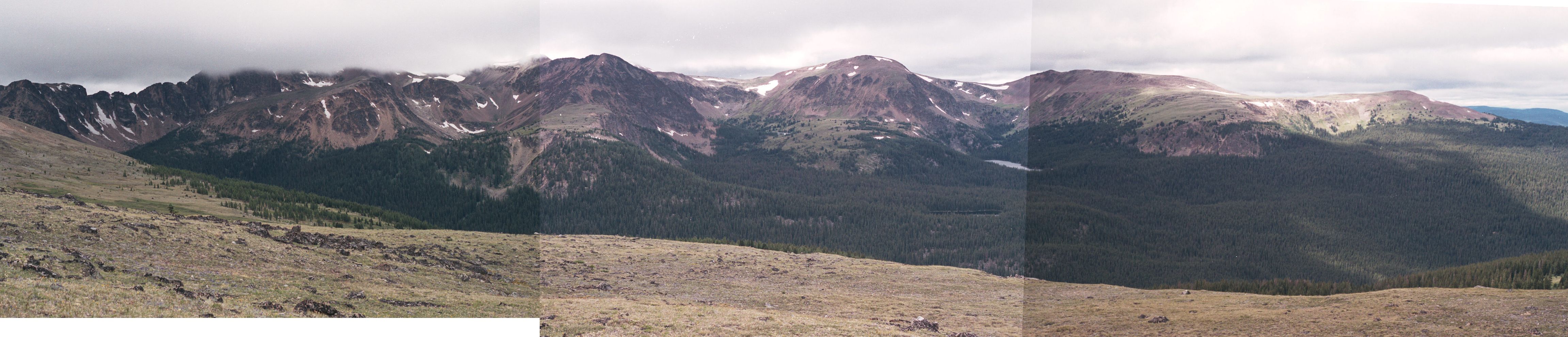
The clouds stayed low all day. This view is towards the part of the valley where Goat Lake is.
This is Ladyslipper Lake.
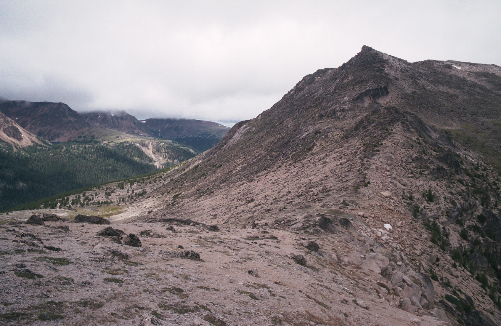
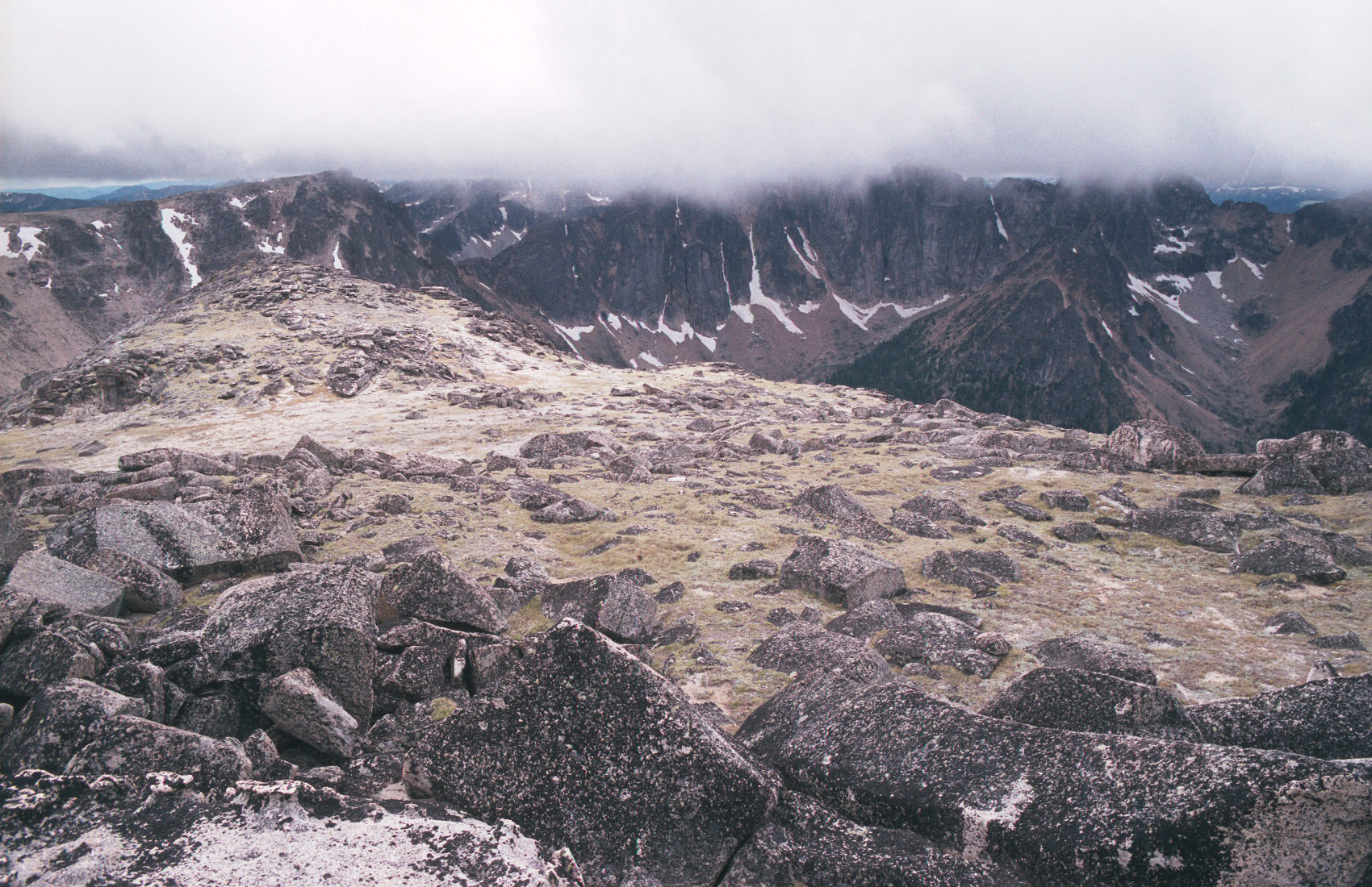
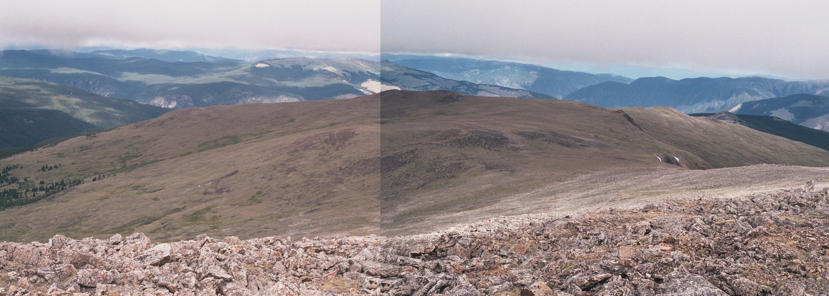
Finally - this is the peak. Lakeview Mtn is a big broad peak comprised of largish rock that isn't very fast to hike on.
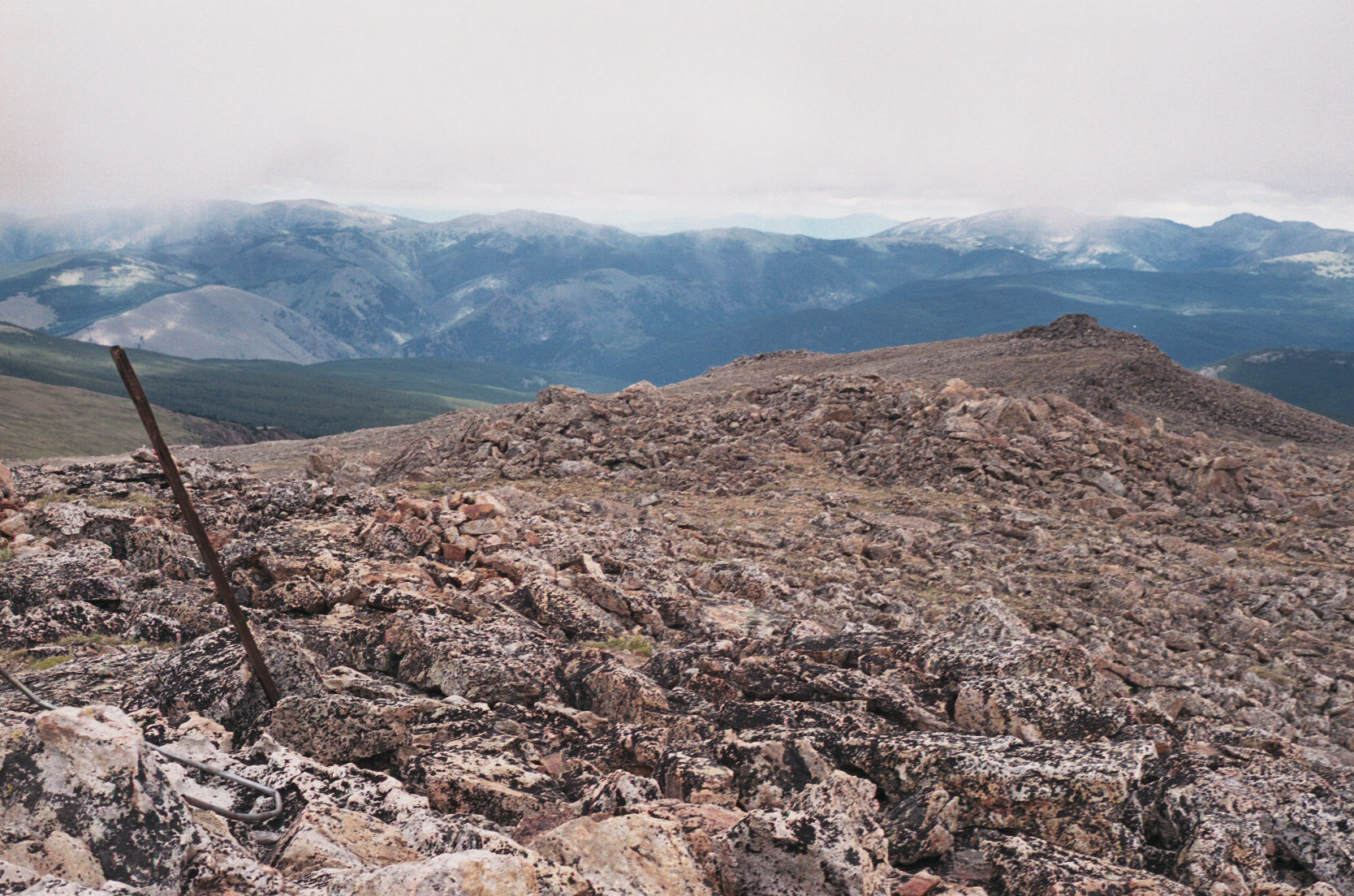
Here is the view forward - towards the Centennial Trail and the way back down. Just try to find the trail!
I almost didn't. I did not find the trail until I was off of the rock and I located a very weak trail and the odd cairns.
At the junction of the Centennial Trail and the Lakeview trail, it is clear that nobody hikes the Centennial trail!
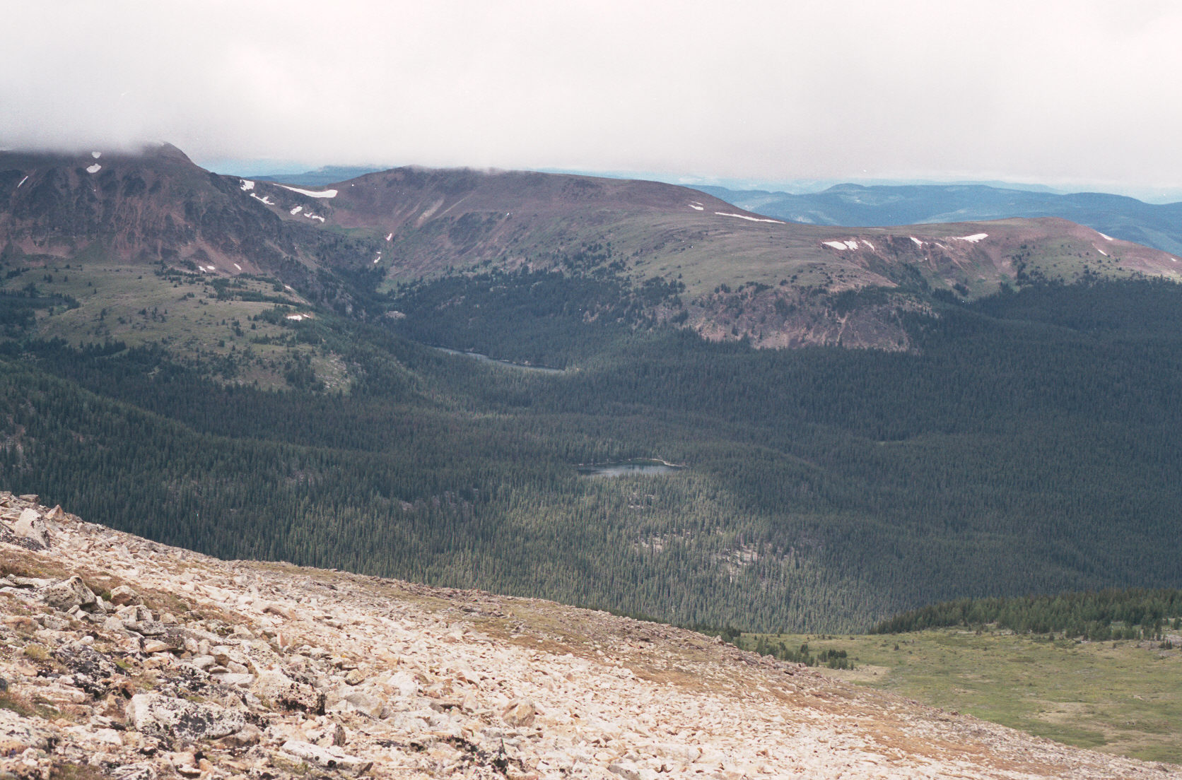
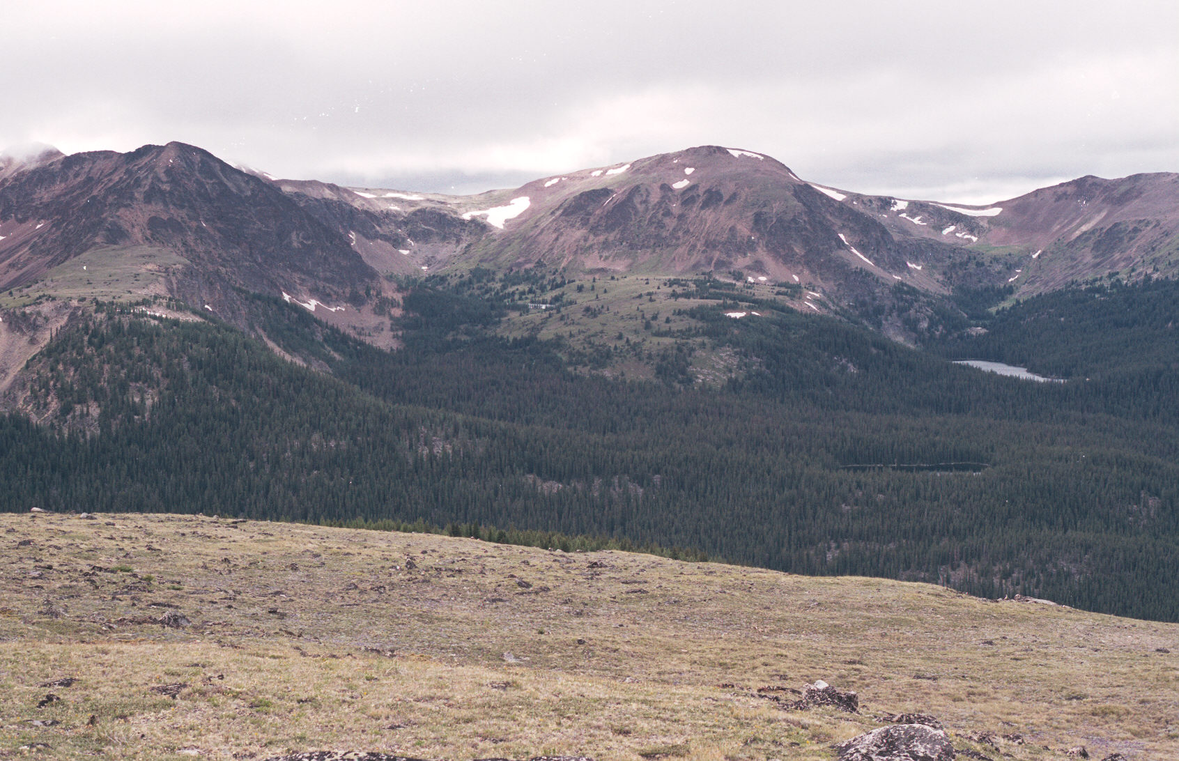
Looking towards home (the campground) you can see Pyramid Lake, Lake of the Woods (hidden by trees) and Quiniscoe Lake
in the distance. Also quite clear is Red Mountain (behind Quiniscoe Lake) and the approach to it (the broad ridge
to the left).
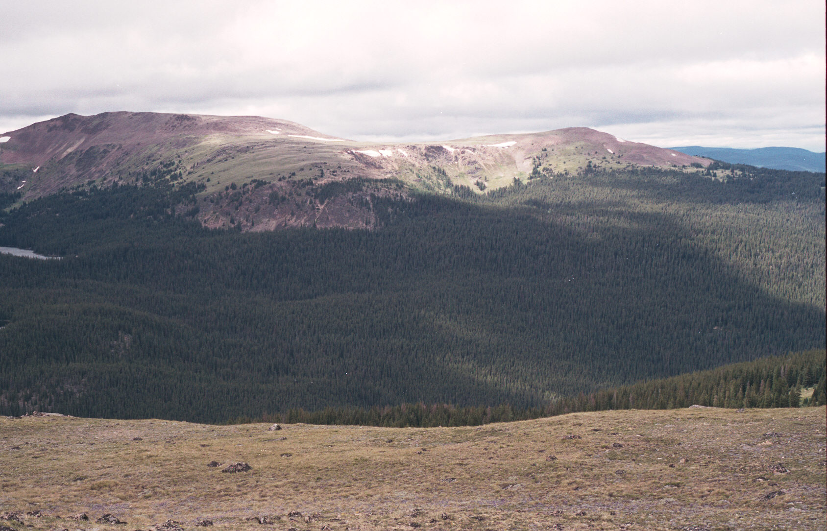
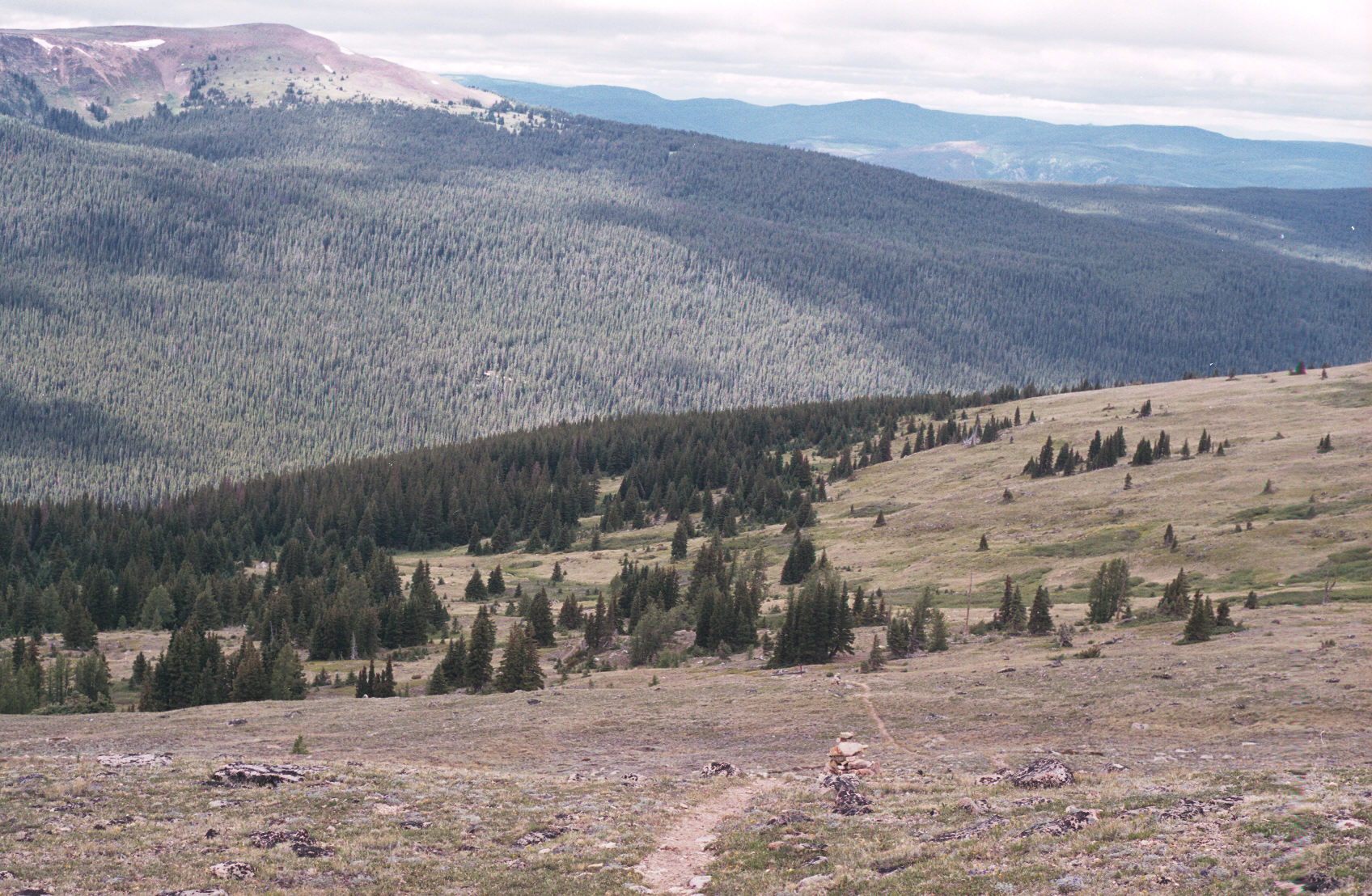
At this point I'm finally onto a well marked trail and clearly heading down towards the main camping area.
Still, you can see that the trail doesn't get that much use.

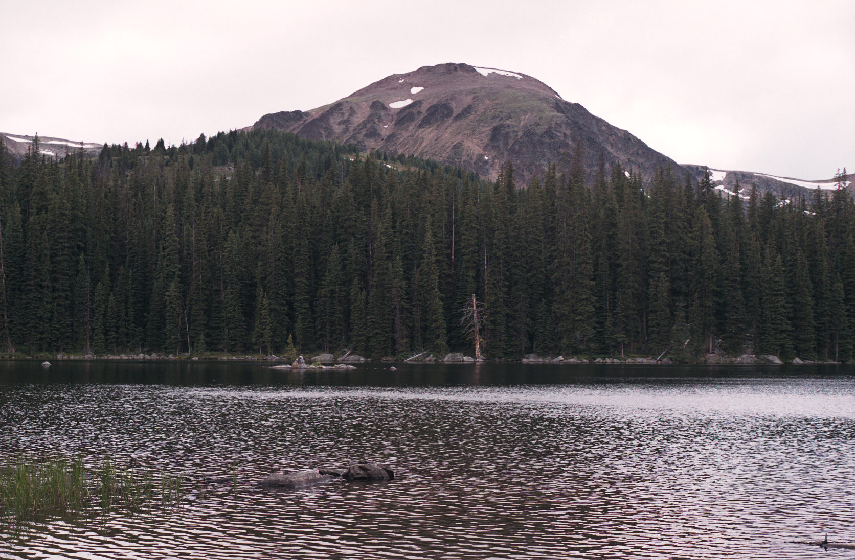
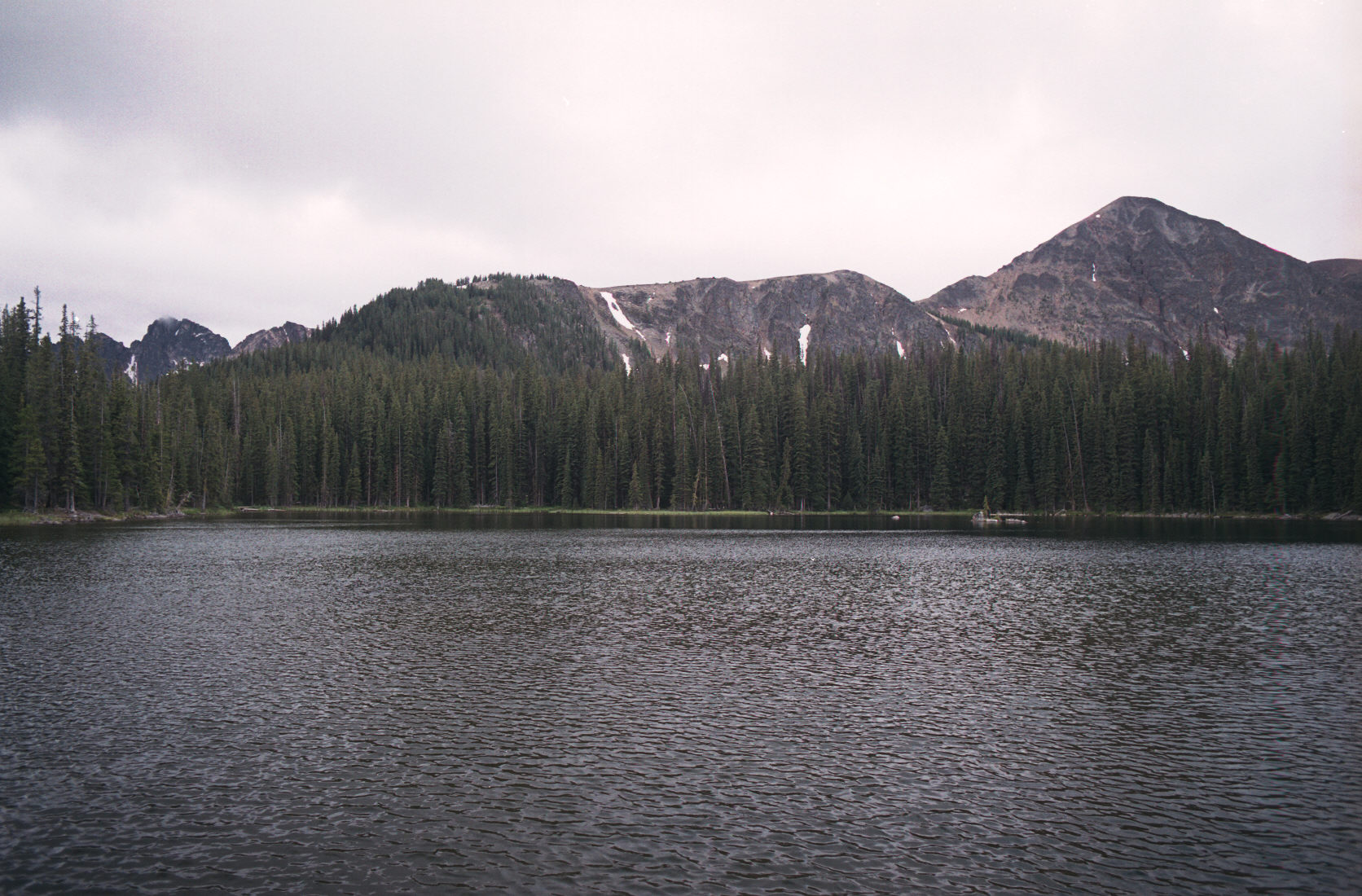
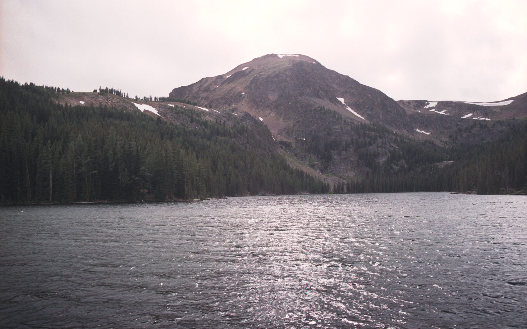
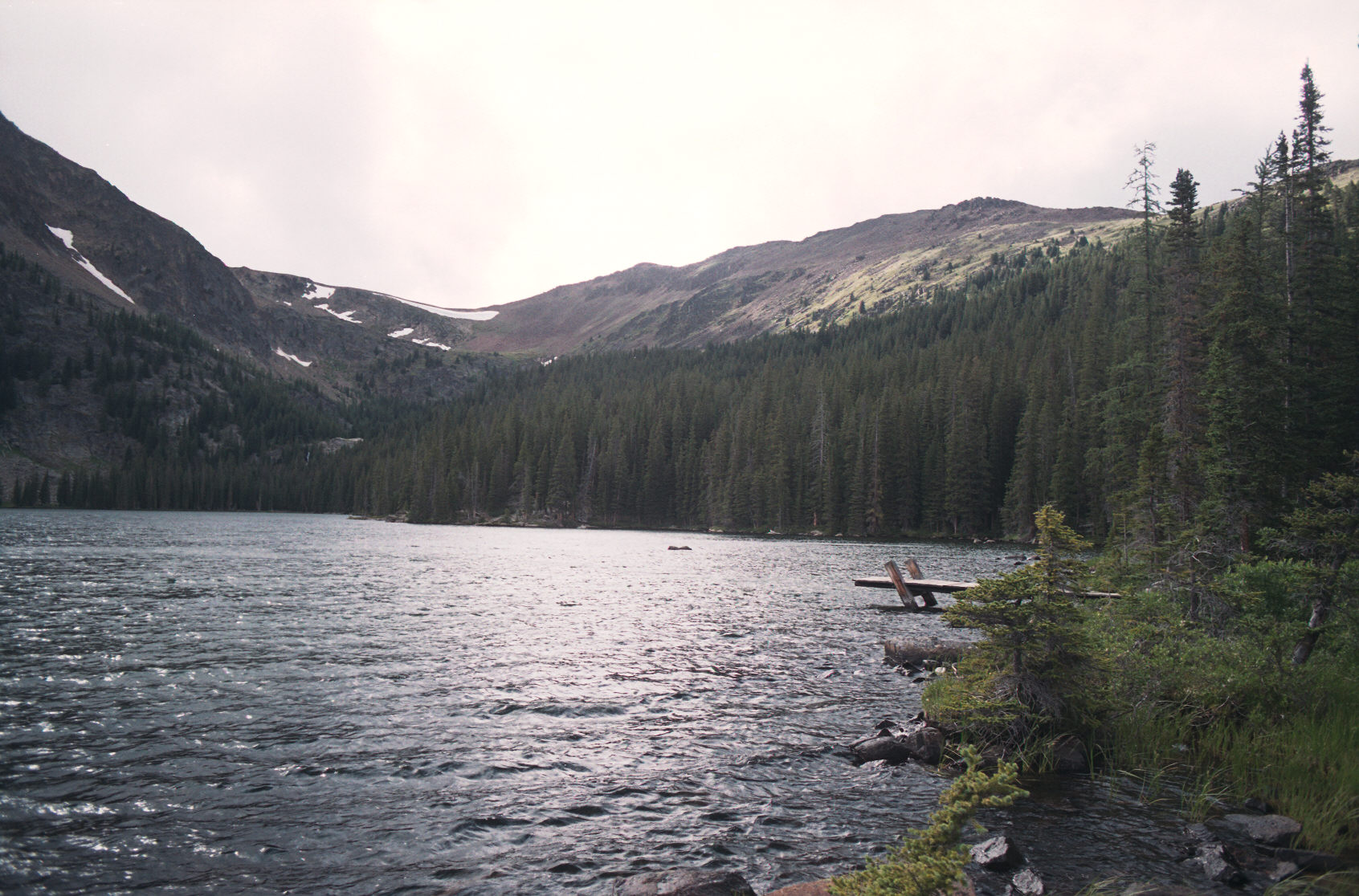
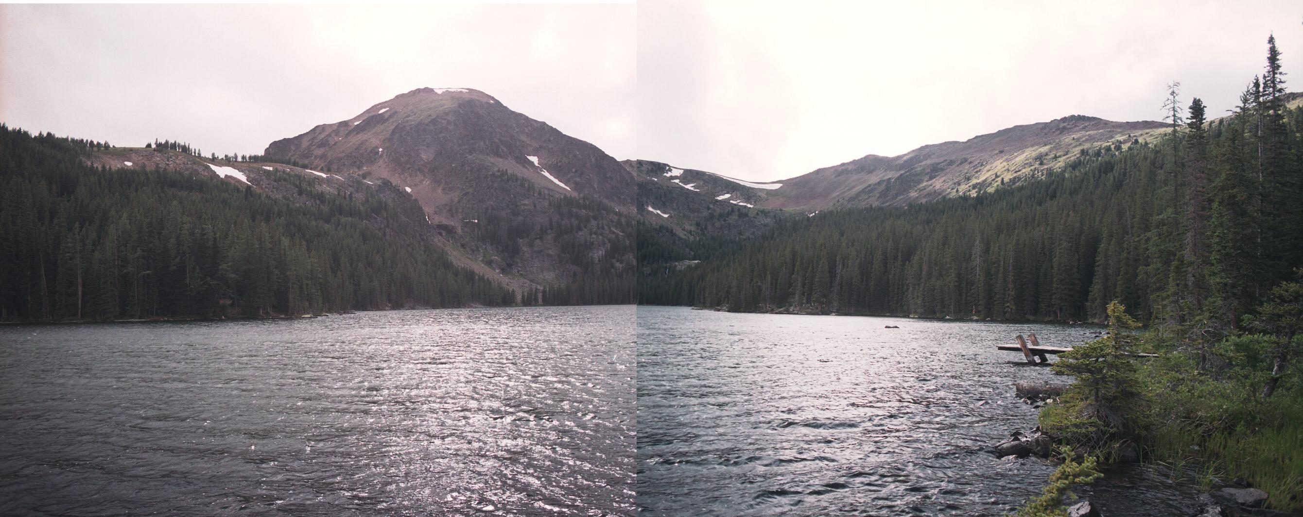
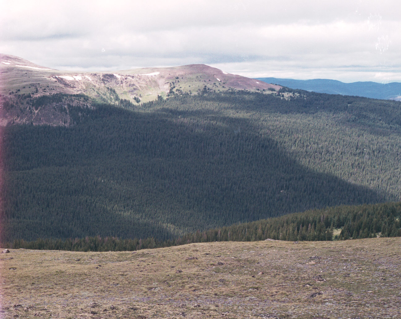
Sept 2008 - an email identified, at least, the pictures as being Quiniscoe Lake. The trip was 6 years ago so my memory is fuzzy - it was cold and wet at the time and I wasn't venturing far as they were calling for worse weather, possibly snow. Try to reconcile that with people, at the bottom, who were coming up in shorts and t-shirts; because it was hot below.