Heather Meadows hike, Manning Prov. Park, BC

This is a nice trail. The campsites which I saw all had wooden pads for the tents; so come prepared with ropes or a 4-season tent.
I hiked out to the Kicking Horse campground; and a little bit beyond. By starting at 6:45am I was done by 2:20pm for an estimated 24km in 7 hours with 400m of climbing.
It took 2:15 to reach the first peak and 35 min. more to get to the top of the First Brother peak. There were plenty of deer tracks (on the trail) and snow fields to cross. Water puddles were crusted with _ice_ early in the morning. 4:15 after starting hiking I was at the Kicking Horse campground. Then I took a long break for lunch and exploring a bit past the campground.

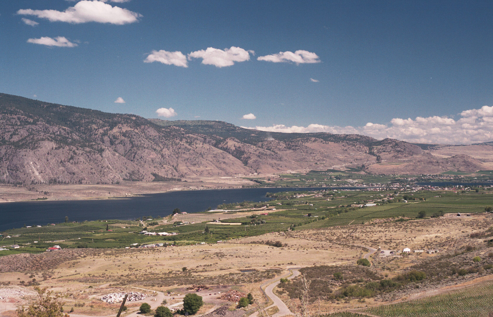
I left Waterton Lakes at 6:30 am and made it to Manning (Hampton campground) at 5:30pm without any breaks (930 km of driving in 12 hours). Some of the driving went thru desert like valleys with a big river in the middle which was used to irrigate the fruit trees. Much like the California crops in the desert; here they grow crops in desert conditions.

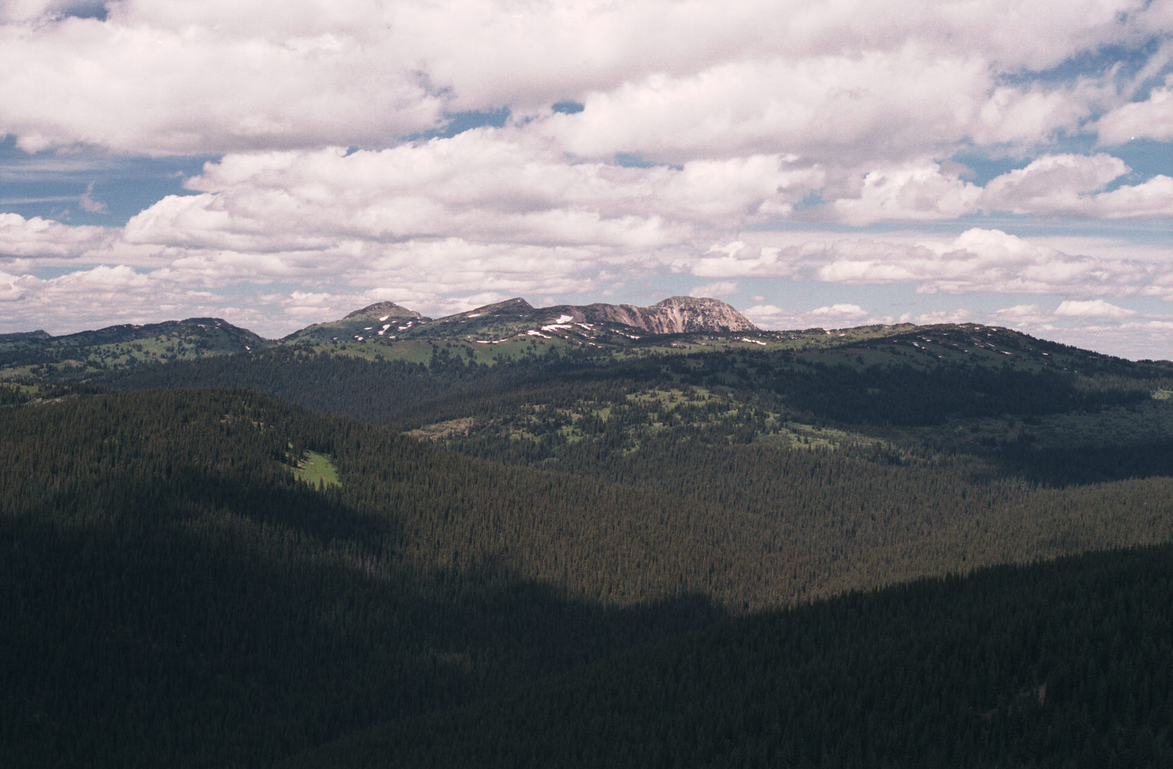
One of the most surprising things was that which driving thru these barren, desert like valleys; there were trees up high on the mountains. But, I had to wonder where the bald mountain peaks were. As it turns out; you just have to hike to the top of the tree covered mountains to see the ones with snow and bare rock.

This is the town of Osysoos:
(c)2002 Eric Praetzel

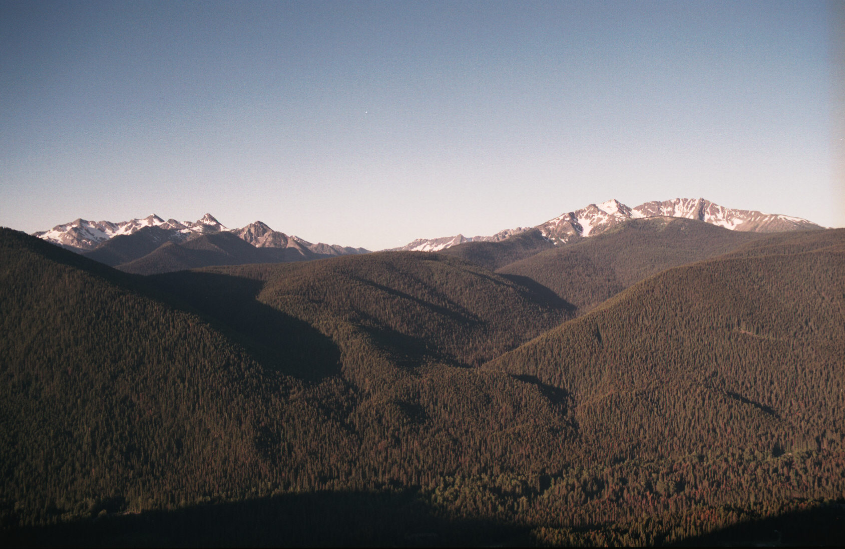
This is a 6:45am, rising sun, picture of Mt. Frosty and Winthrop peaks.
(c)2002 Eric Praetzel

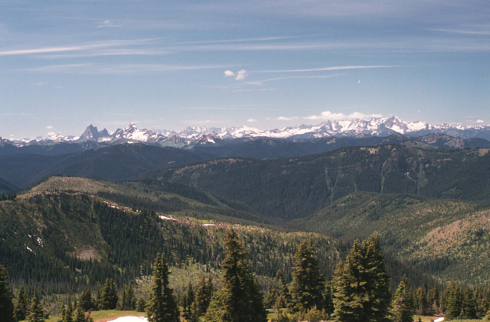
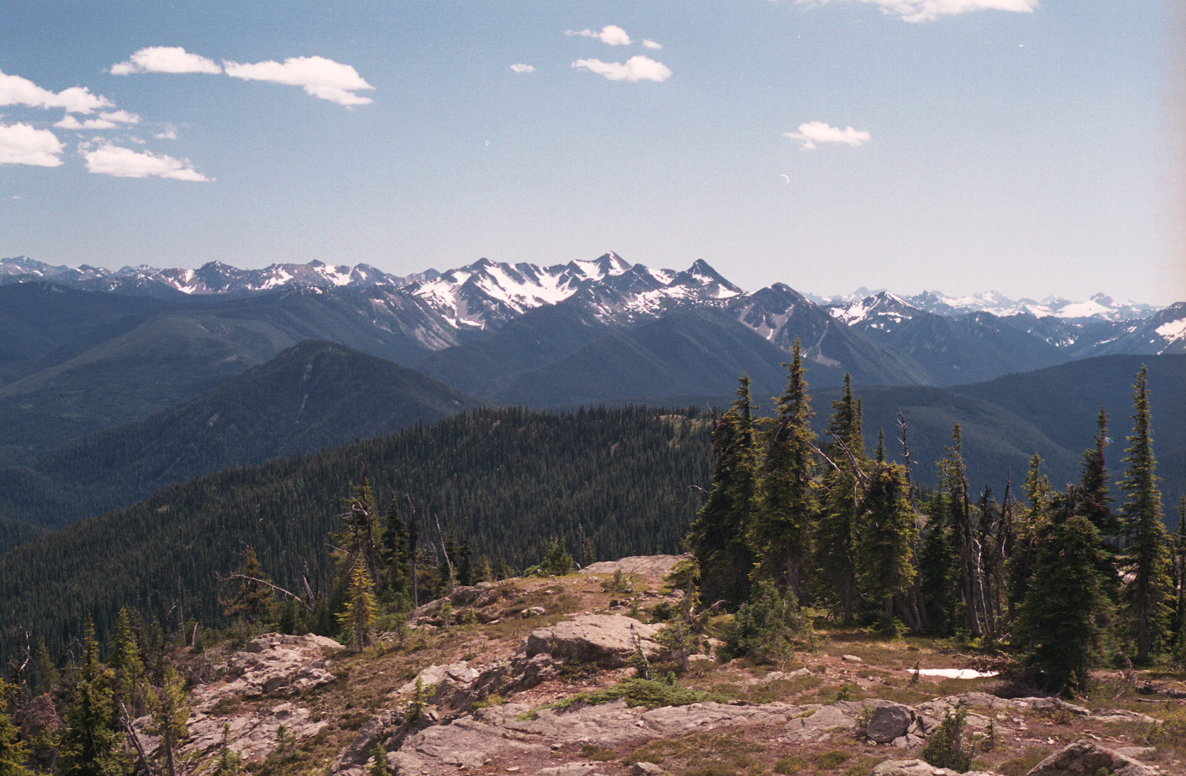
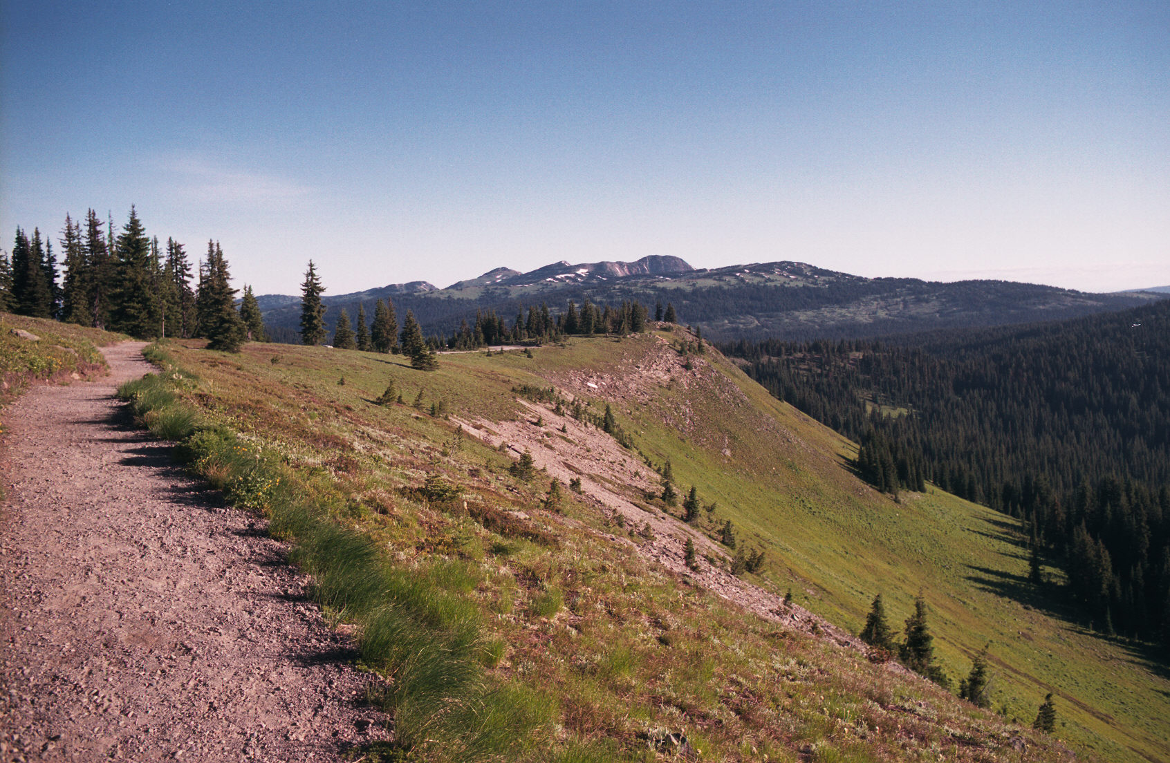
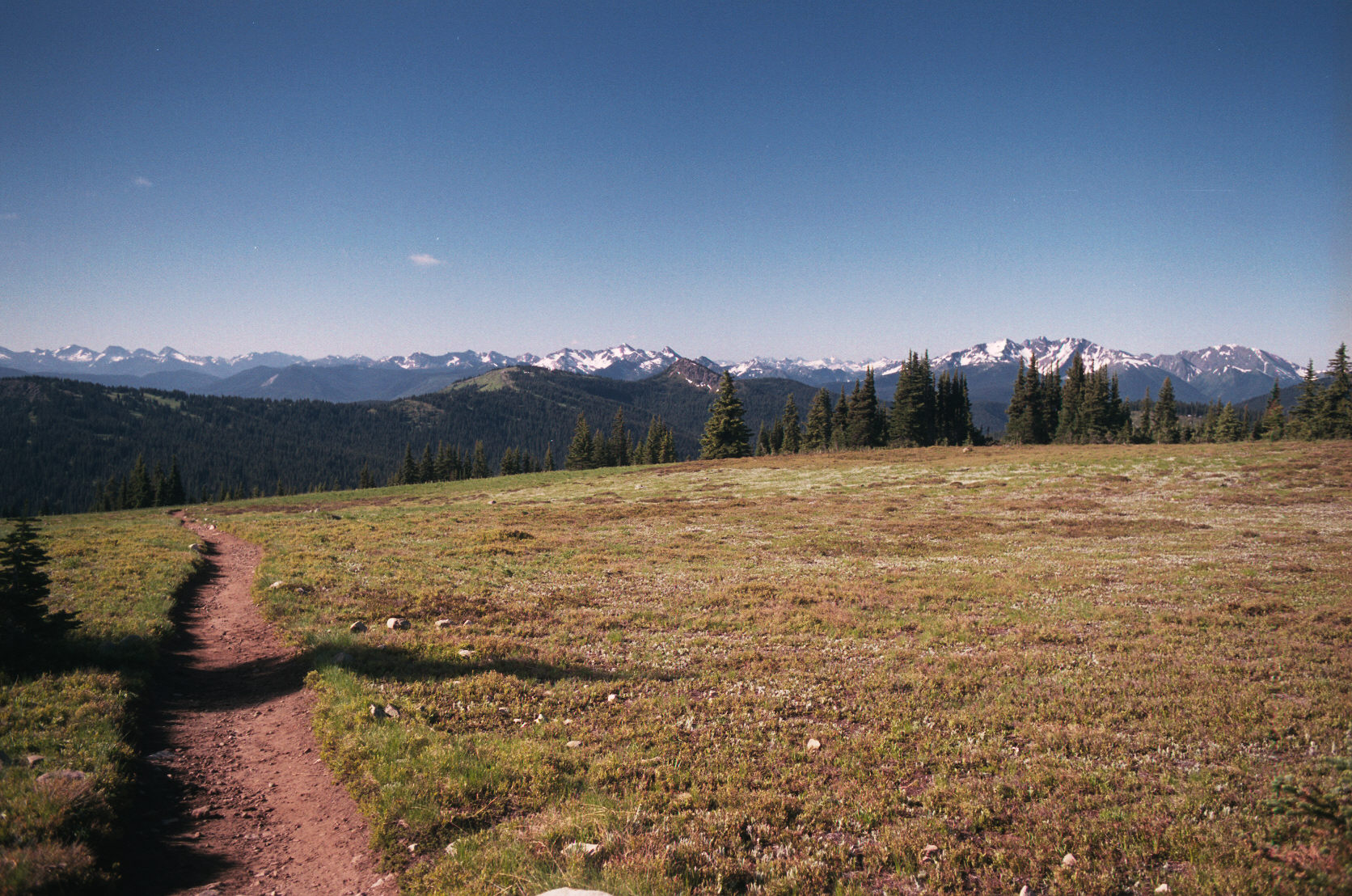
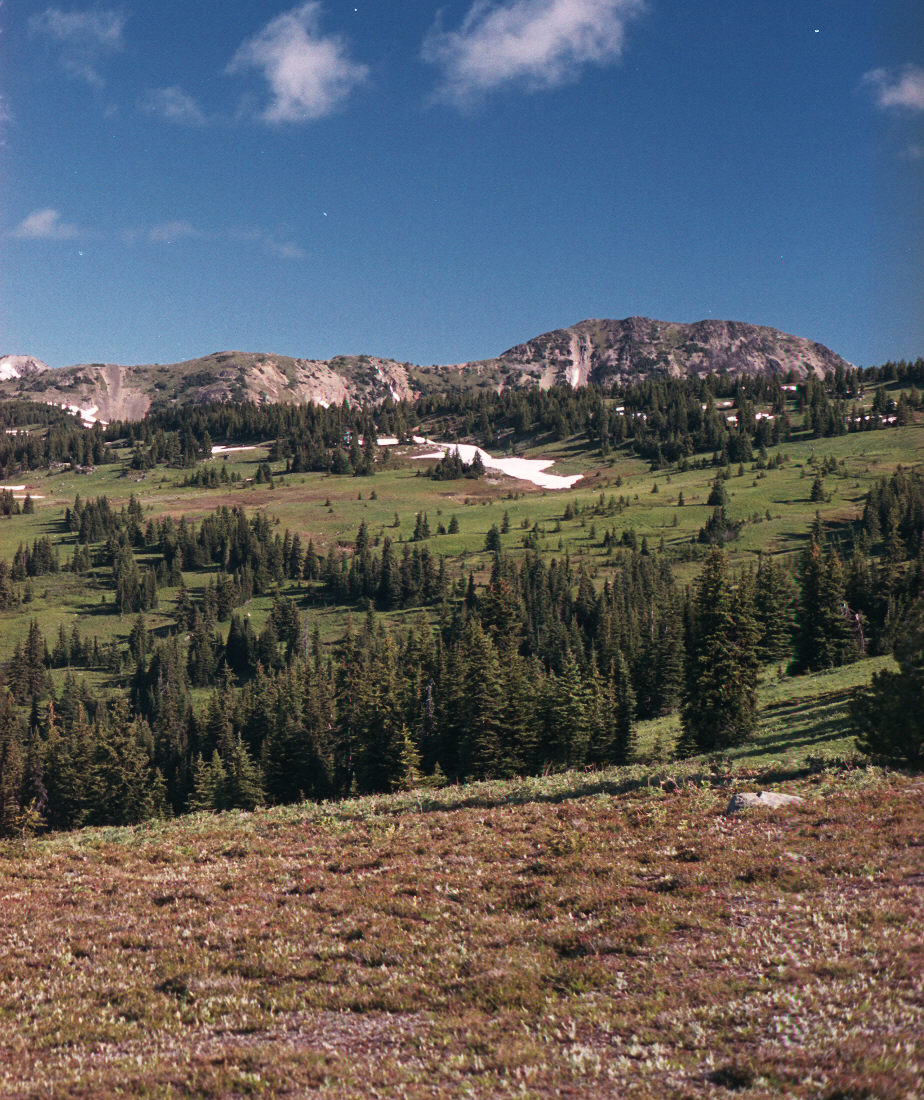
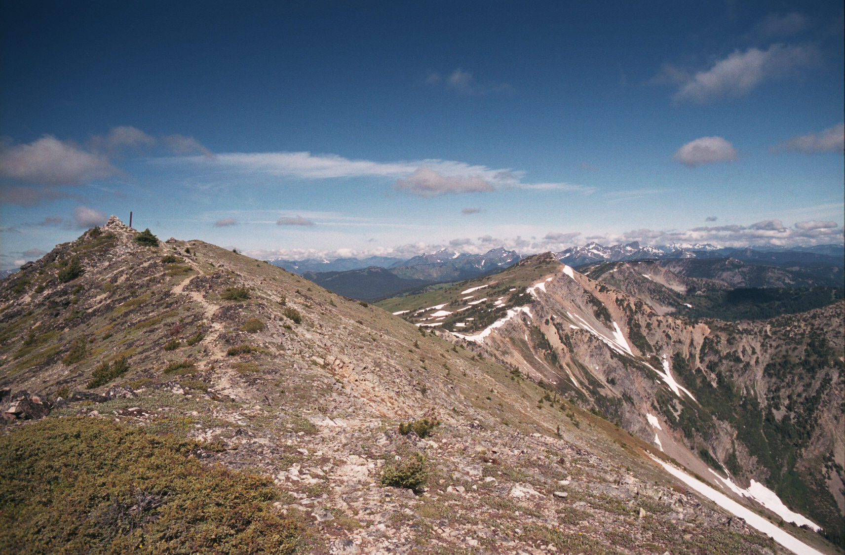
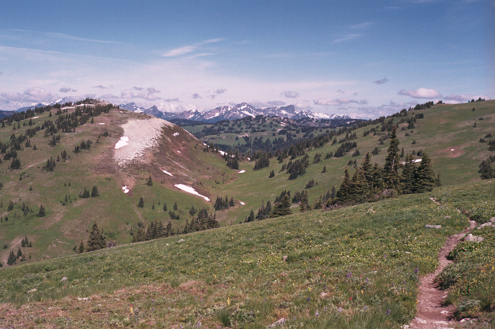
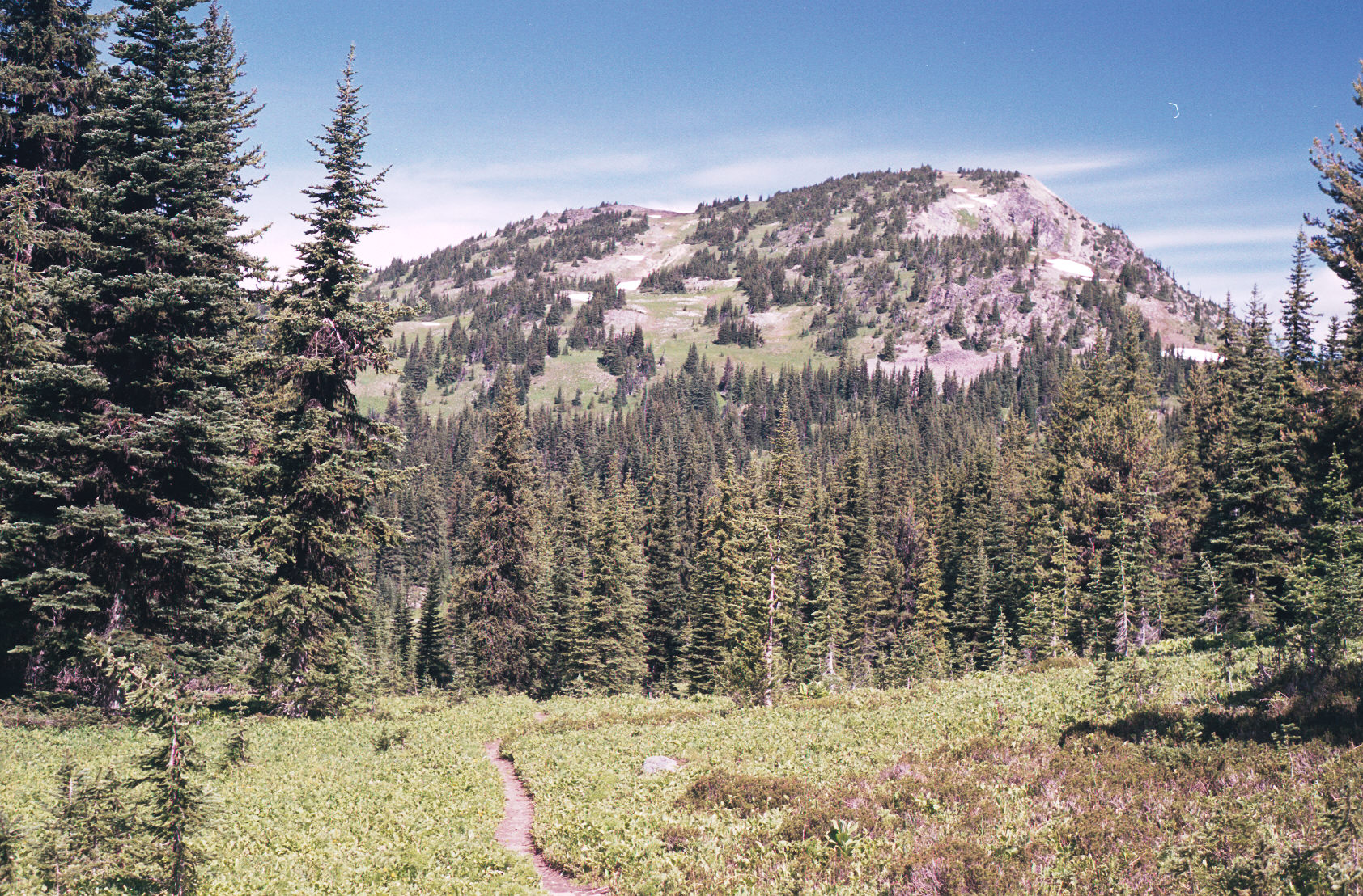
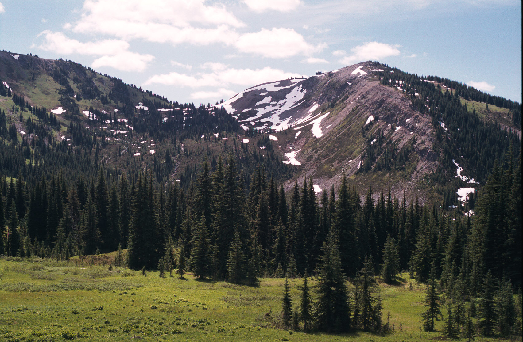
These pictures are around the start of the trail with the First Brother peak in the distance. It doesn't look like much of a climb; and it isn't. This hike is up high and the elevation doesn't change by more than a few hundred meters in a day of hiking.
(c)2002 Eric Praetzel (c)2002 Eric Praetzel (c)2002 Eric Praetzel (c)2002 Eric Praetzel (c)2002 Eric Praetzel
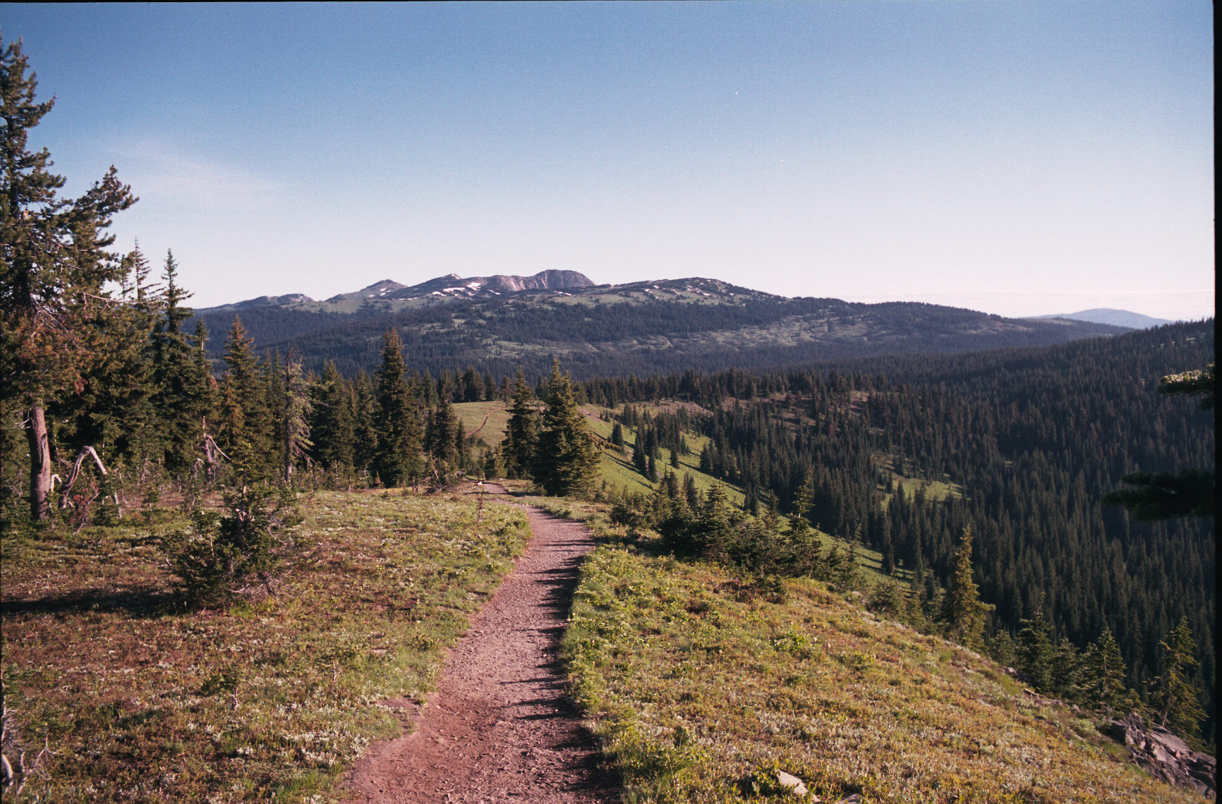
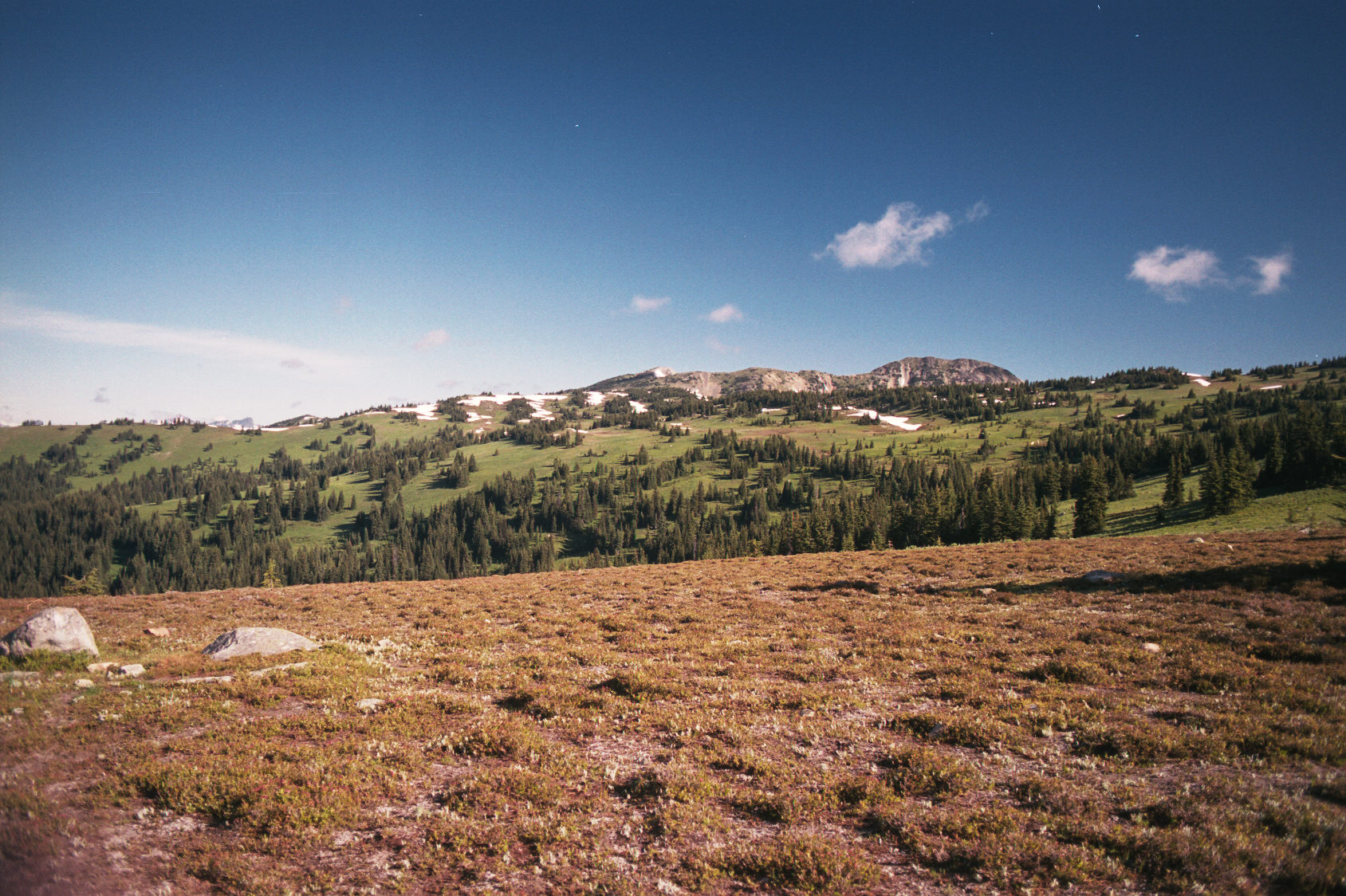
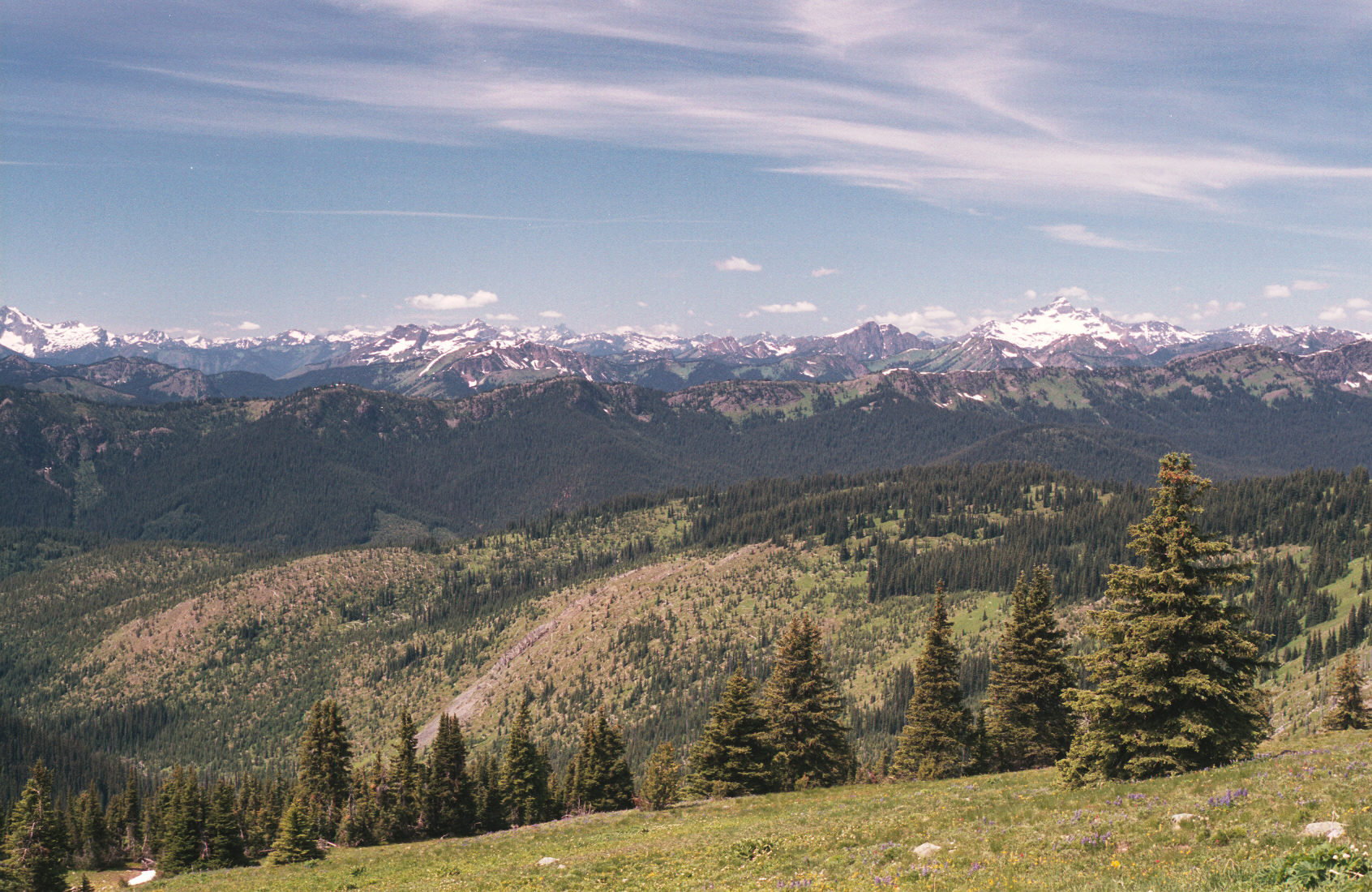
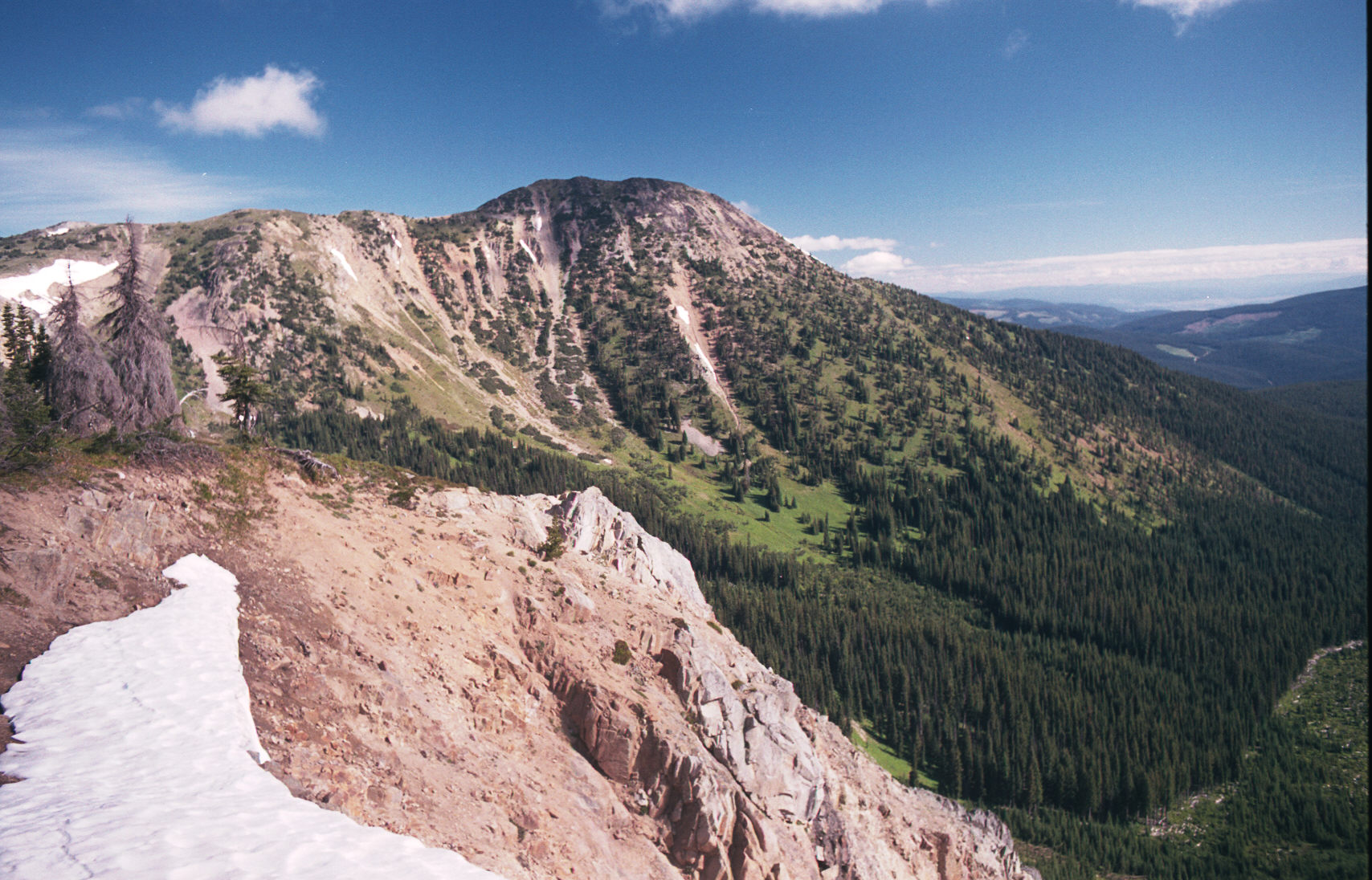
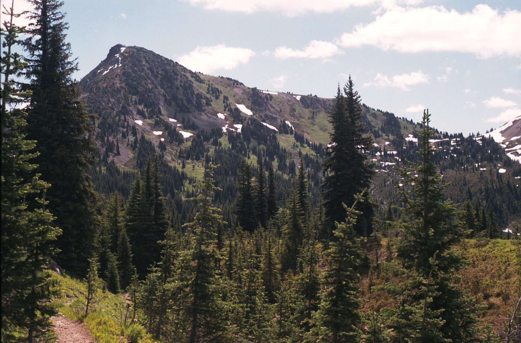
At this point it was 7:15am and I was at the intersection of the Heather and Bonnevier trails.
(c)2002 Eric Praetzel (c)2002 Eric Praetzel (c)2002 Eric Praetzel (c)2002 Eric Praetzel

(c)2002 Eric Praetzel (c)2002 Eric Praetzel (c)2002 Eric Praetzel (c)2002 Eric Praetzel


The above few scans were "professionally" done and here are the results.
(c)2002 Eric Praetzel (c)2002 Eric Praetzel (c)2002 Eric Praetzel (c)2002 Eric Praetzel (c)2002 Eric Praetzel (c)2002 Eric Praetzel

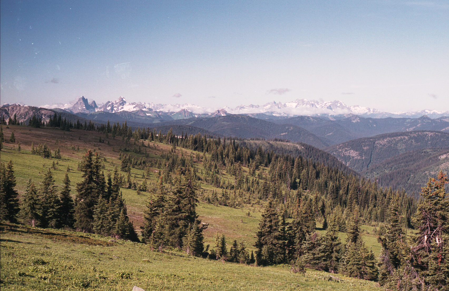
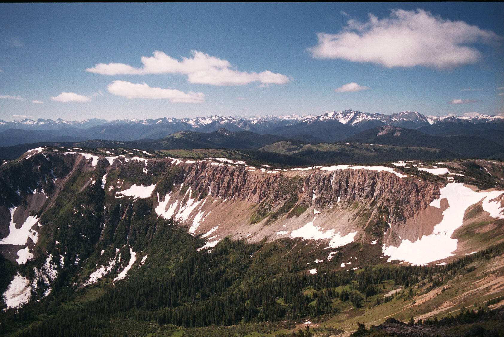
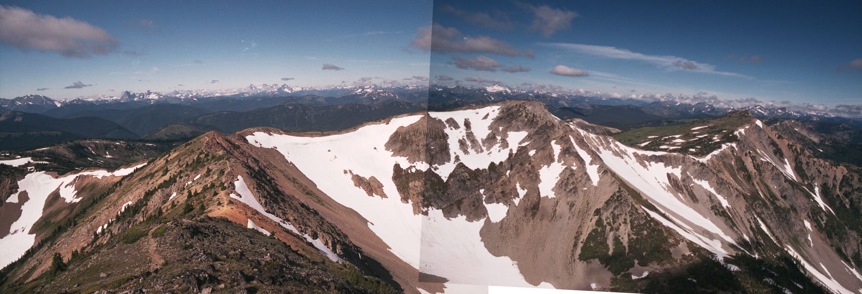
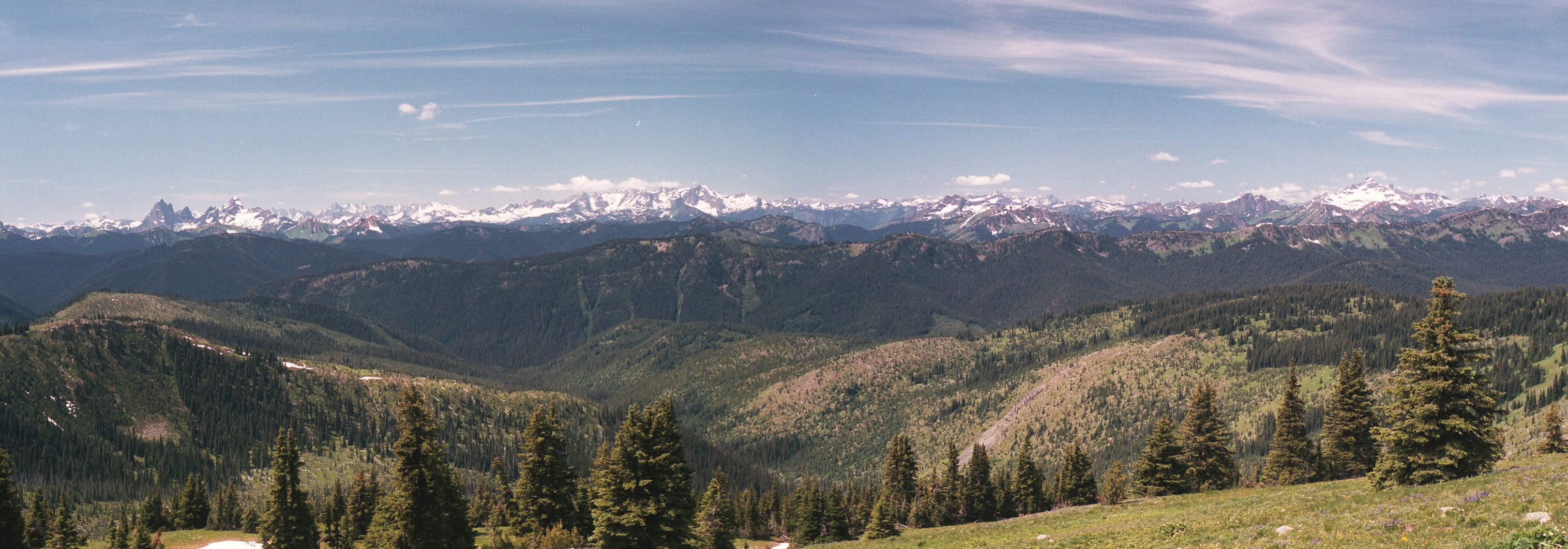
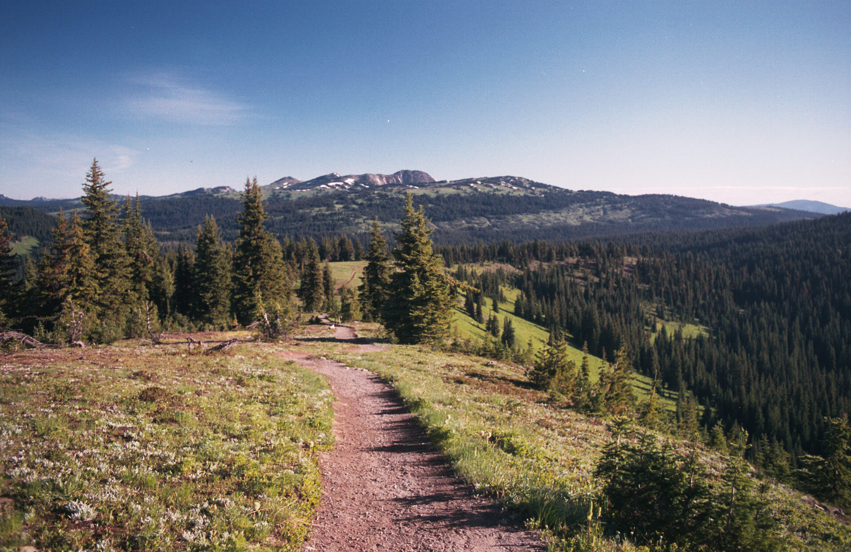
In this image I added another picture to the left - it does not quite join properly but that is what the view in that direction looked like.
(c)2002 Eric Praetzel
(c)2002 Eric Praetzel (c)2002 Eric Praetzel (c)2002 Eric Praetzel (c)2002 Eric Praetzel (c)2002 Eric Praetzel (c)2002 Eric Praetzel (c)2002 Eric Praetzel (c)2002 Eric Praetzel (c)2002 Eric Praetzel (c)2002 Eric Praetzel (c)2002 Eric Praetzel

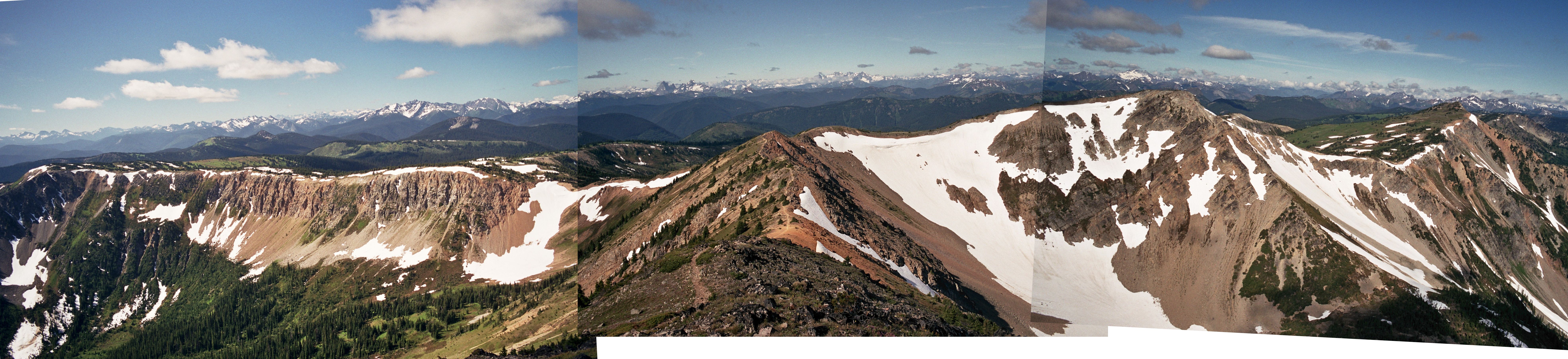
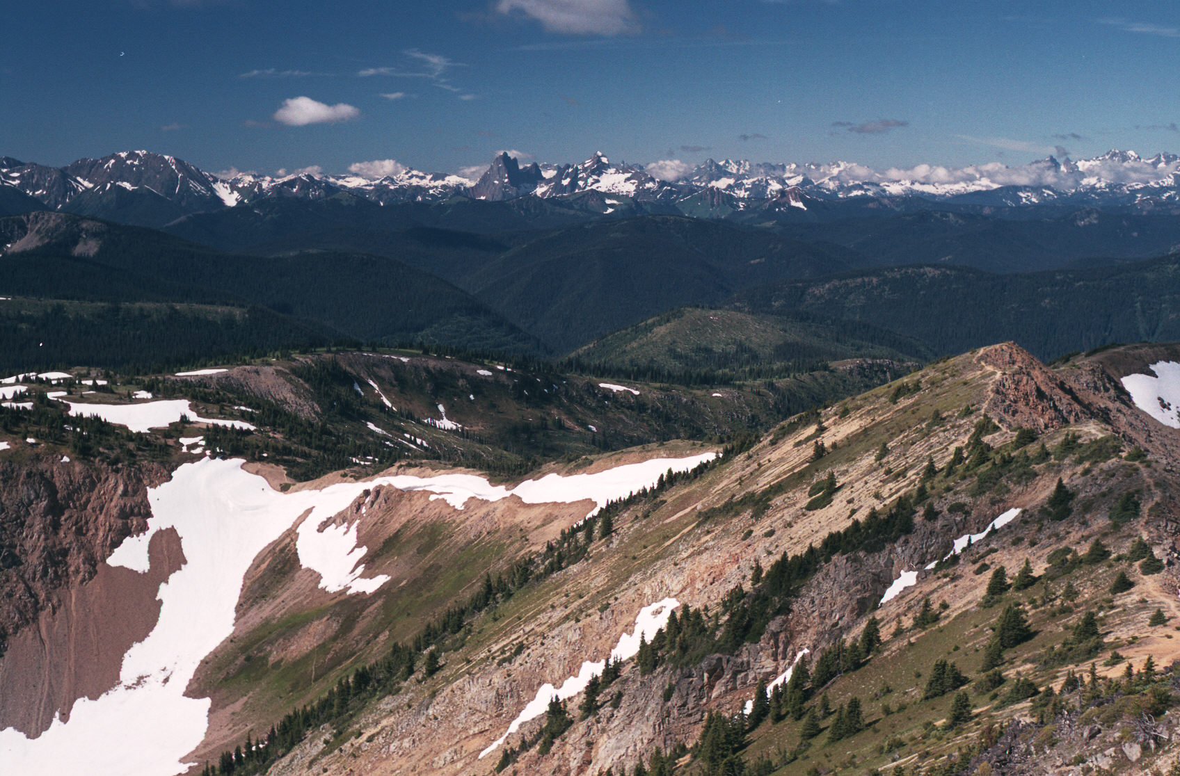
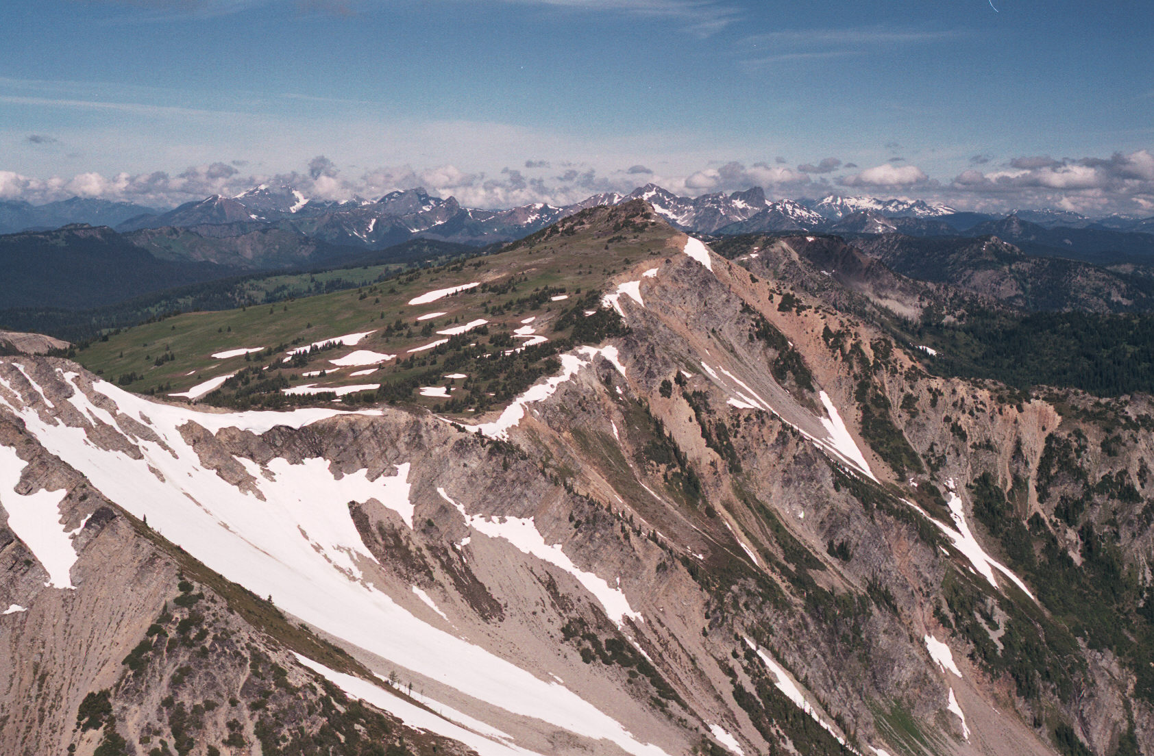
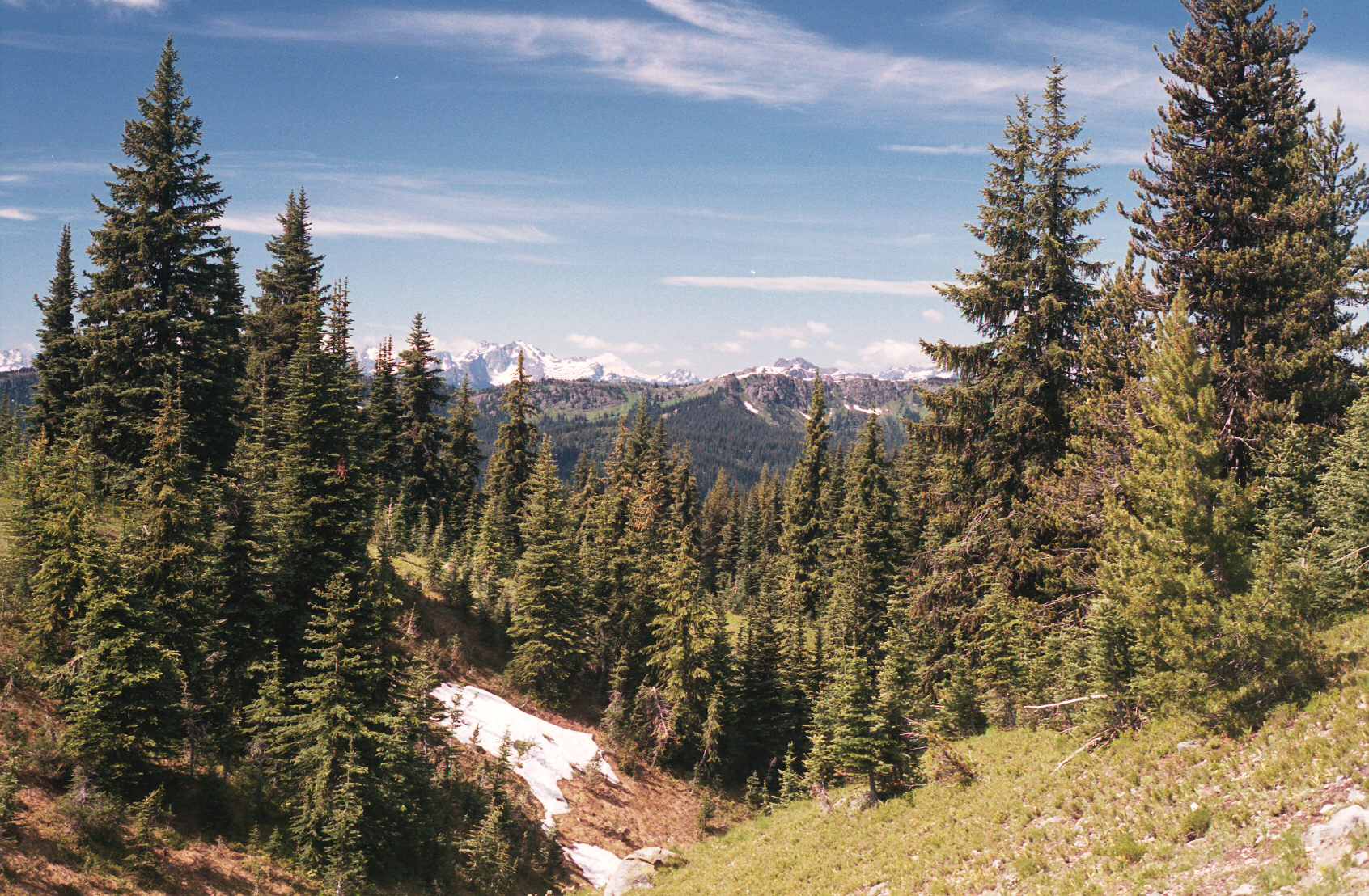
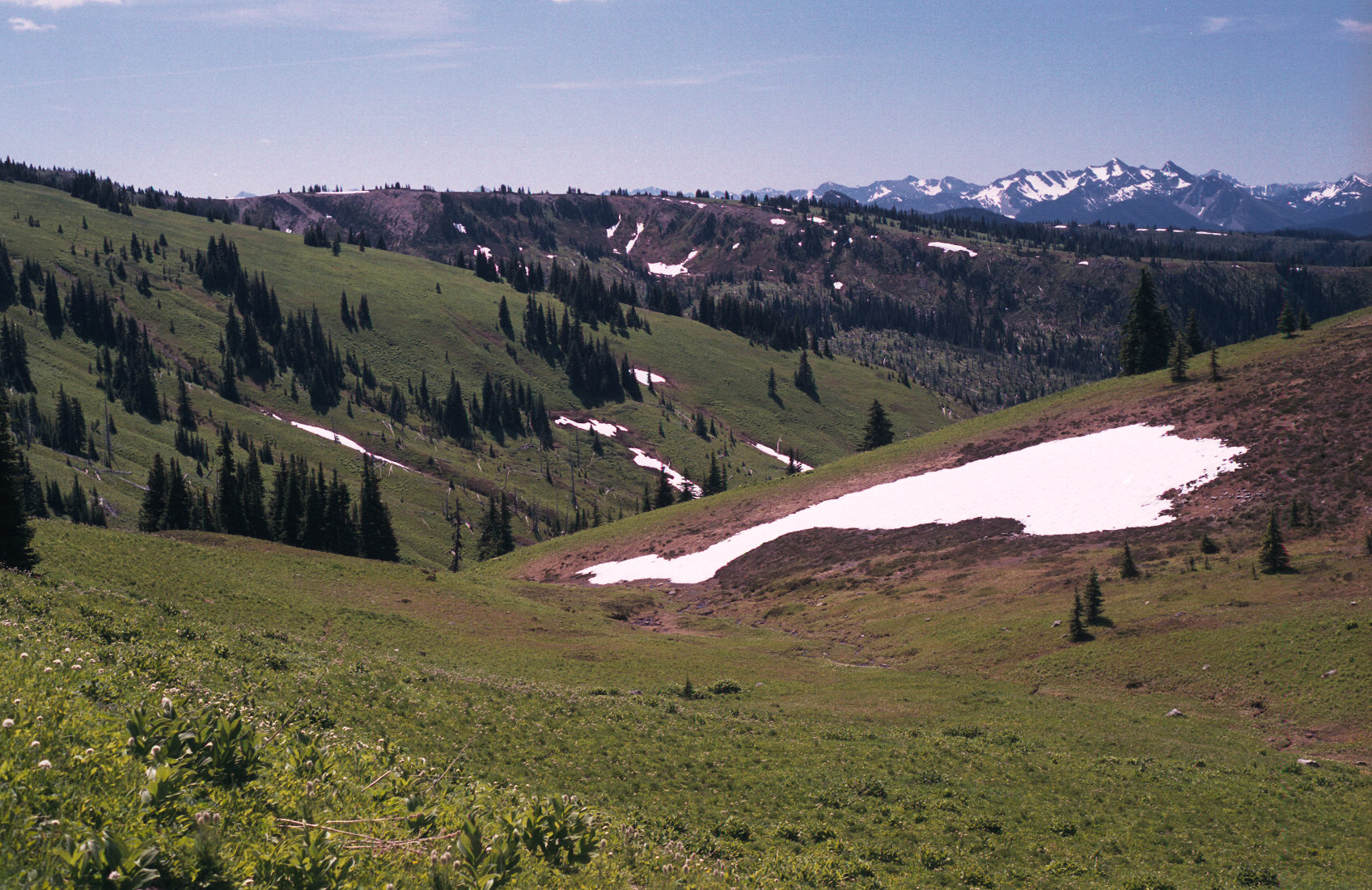
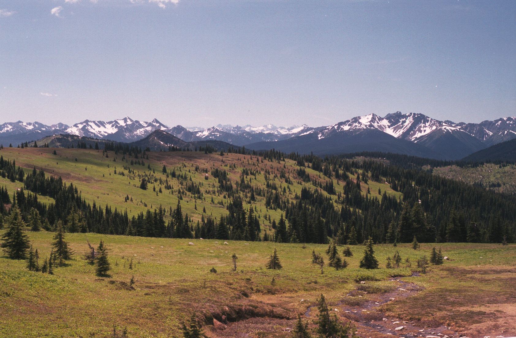
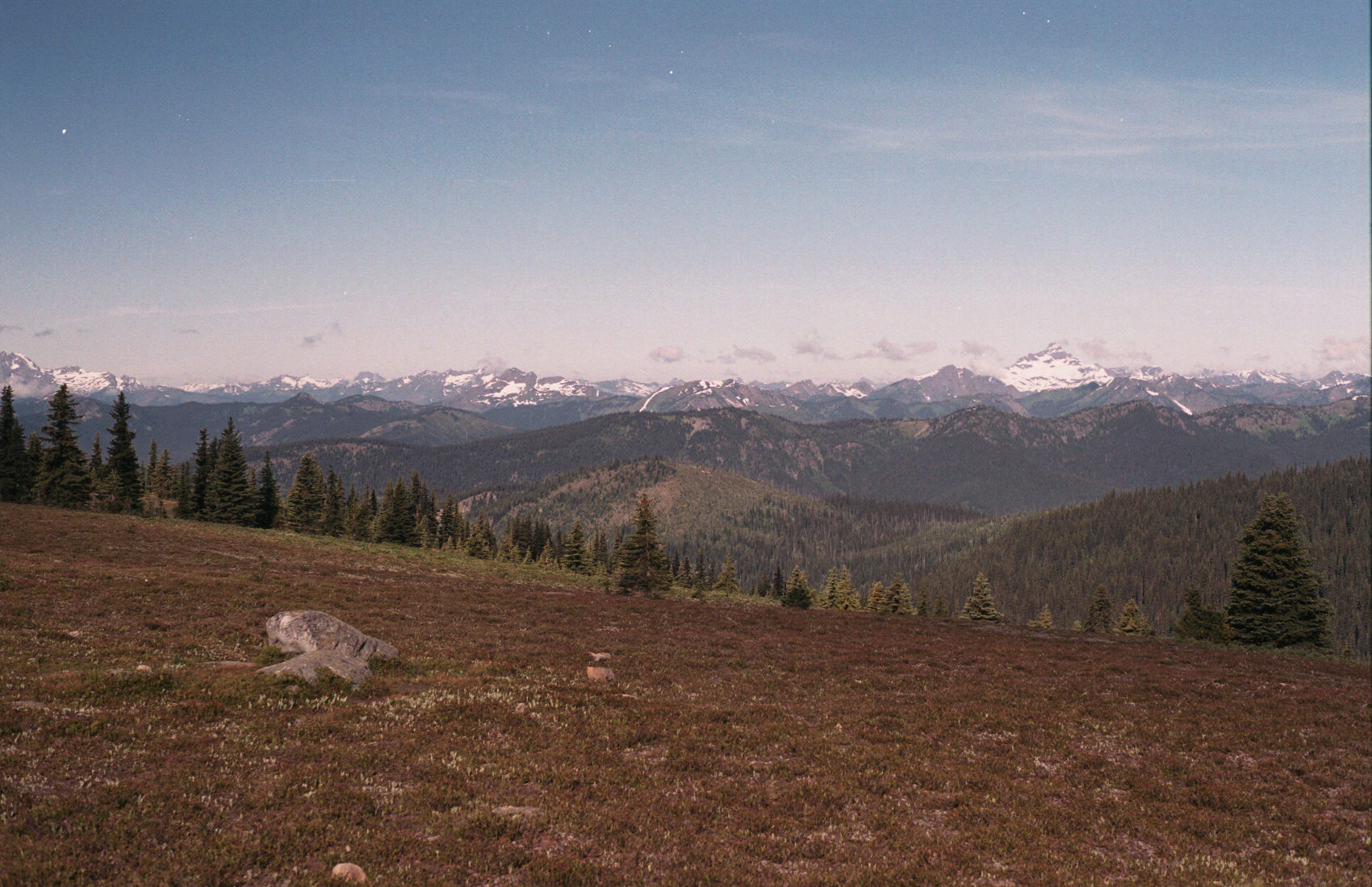
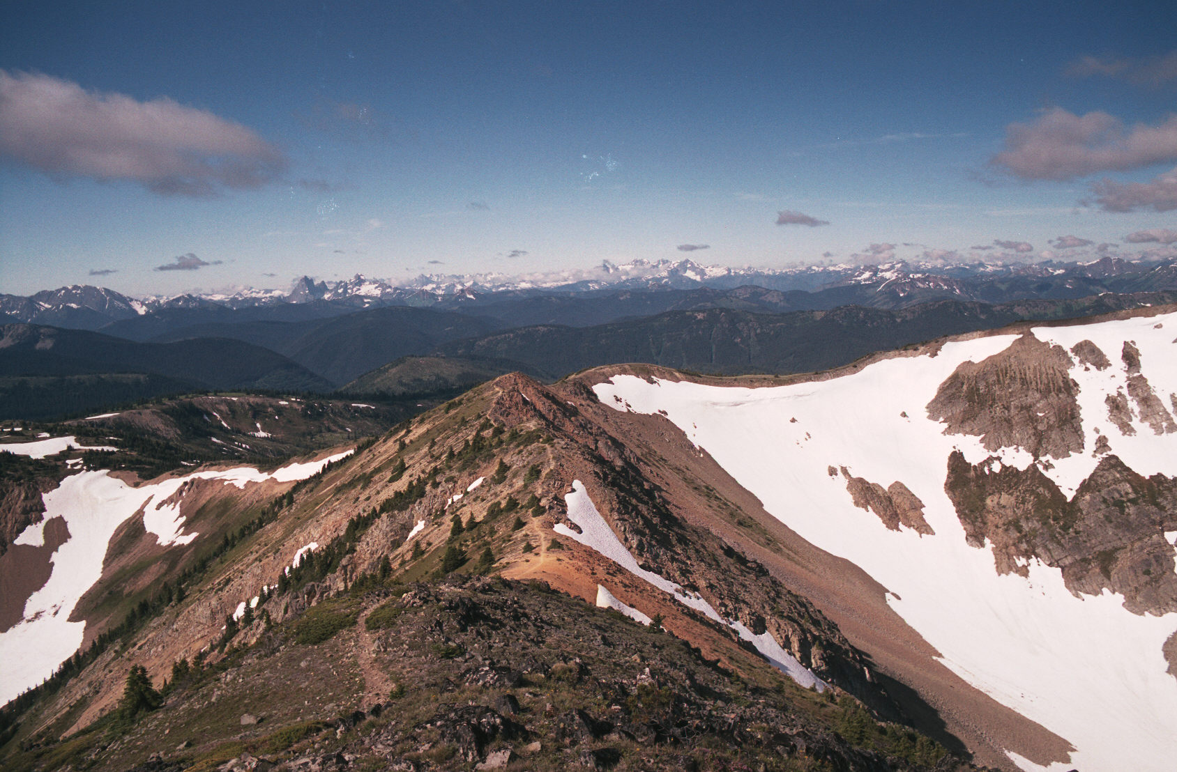
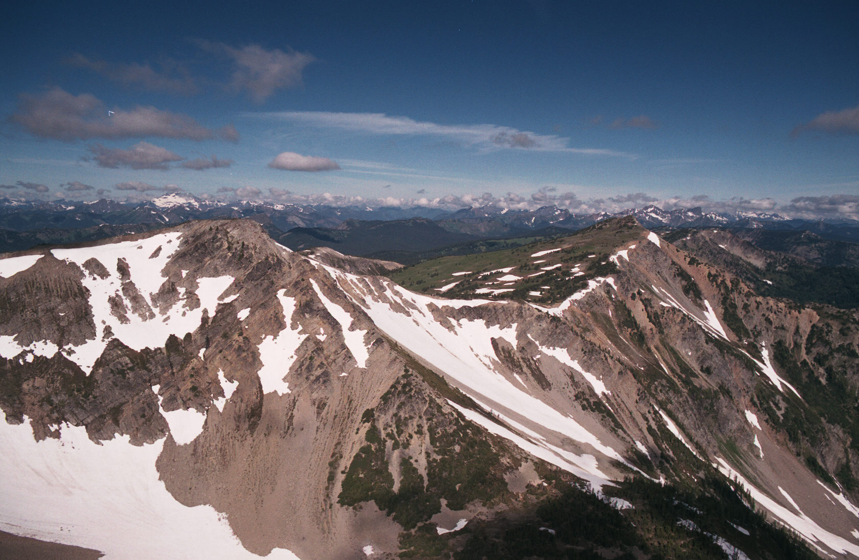
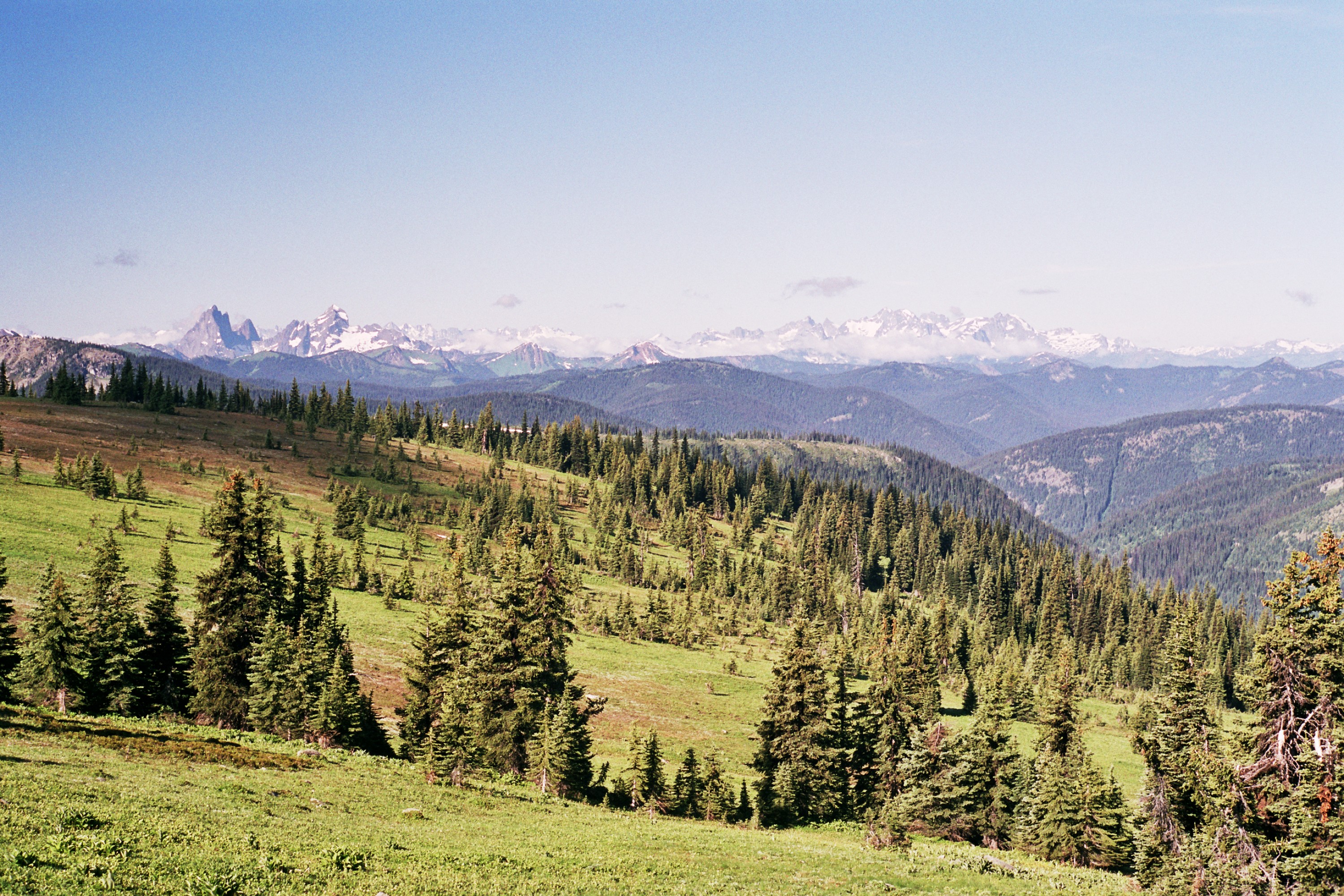
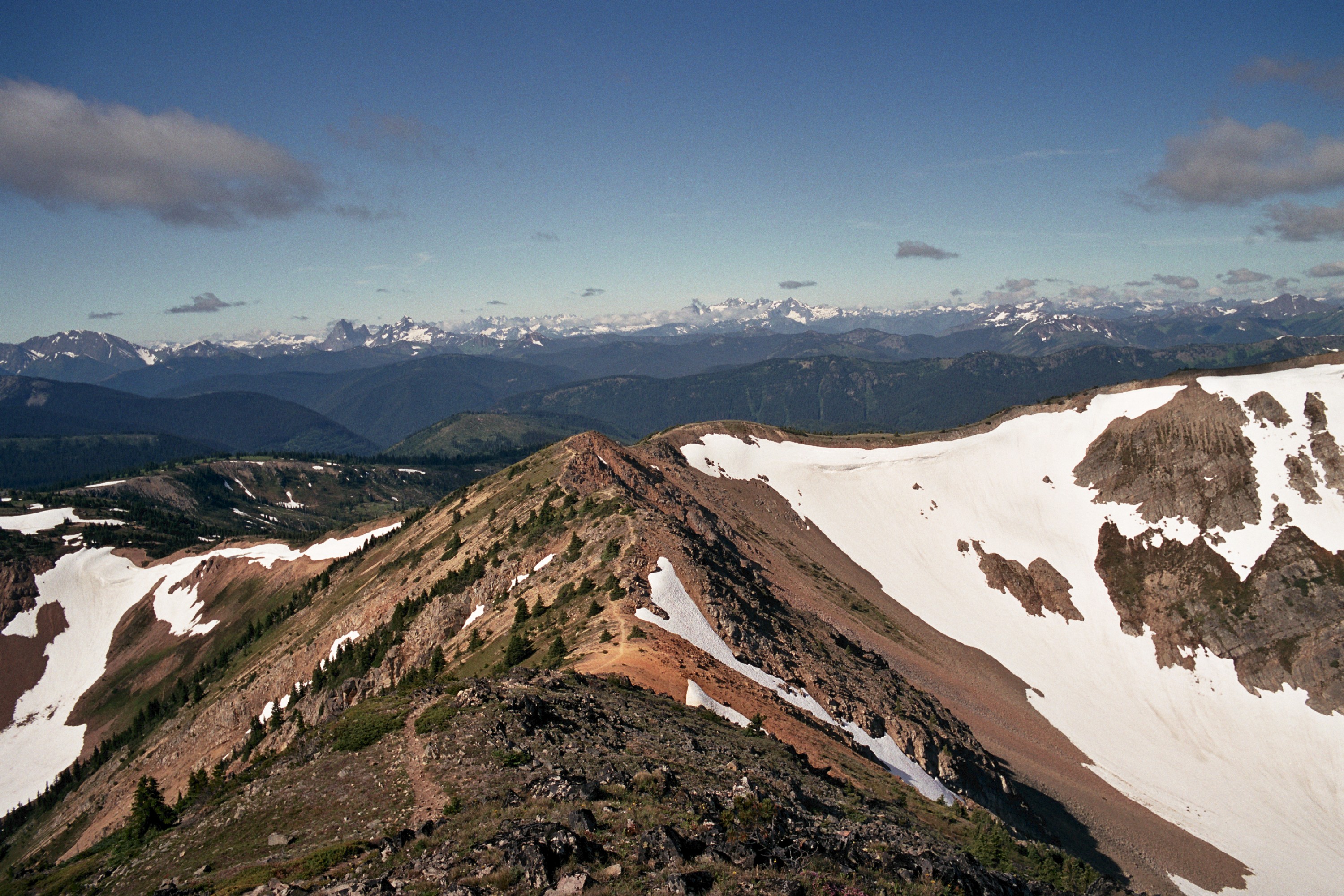
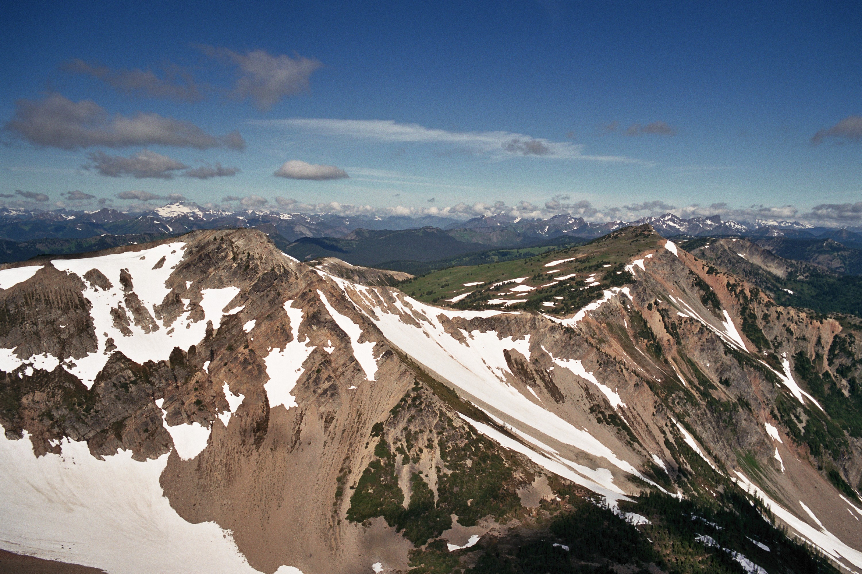
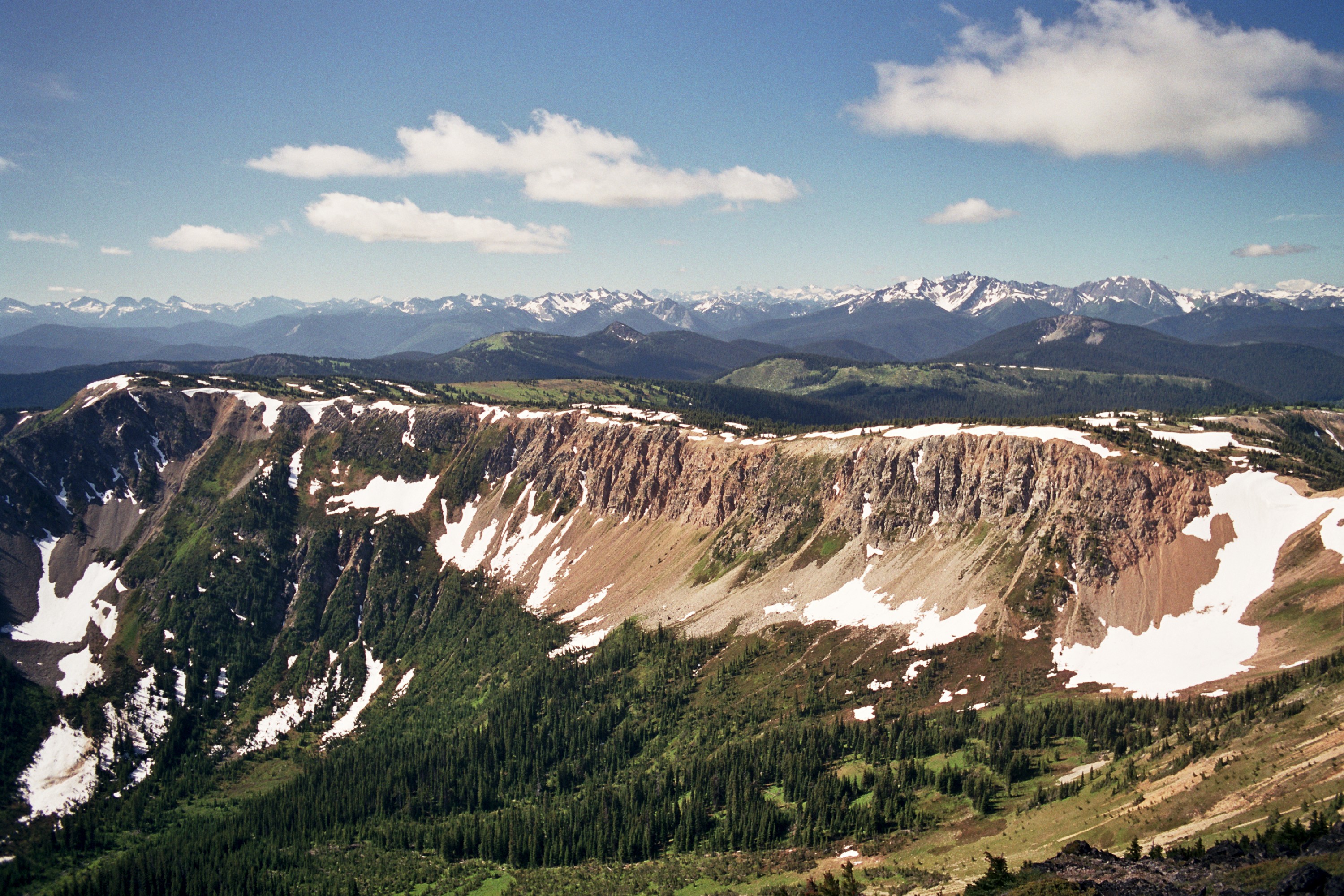
The many snow covered mountains in these pictures are in the USA.
(c)2002 Eric Praetzel (c)2002 Eric Praetzel (c)2002 Eric Praetzel

(c)2002 Eric Praetzel


Blackwall Pk (2063m)

This was a pretty easy scramble. At the lower parking lot there are several trails going into the bush - then aiming up a gully to the top of the peak. It took about 30 min. to go up, look around and come back down.
(c)2002 Eric Praetzel (c)2002 Eric Praetzel (c)2002 Eric Praetzel


Back to my home page