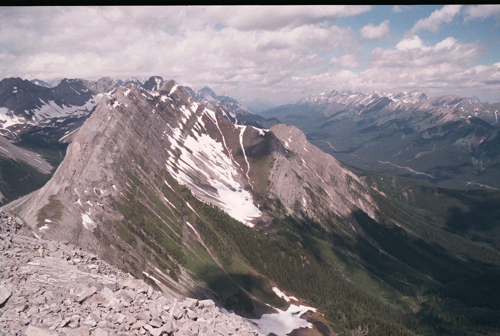
You can see the south peak (shaded) and the north peak (sunlight and slightly hidden by a peak before it). The northern peak of Indefatigable is seen in the distance as the peak with snow on it.
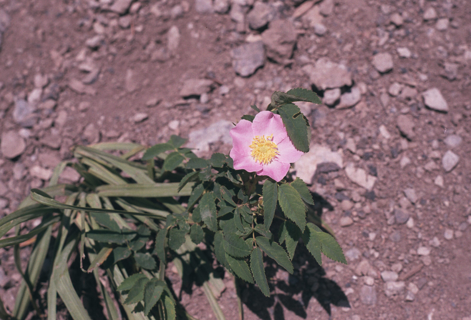
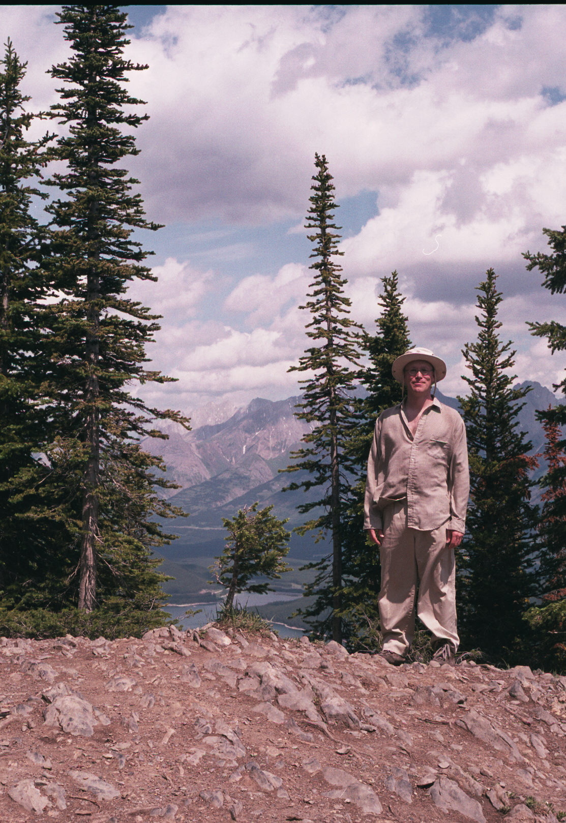
8:56 - drizzling, overcast, 27C
9:30 overcast, still raining
10:03 started hike,
10;33 nice viewpoint - relentless climbing
10:58, left turn to peak - relentless climbing
11:09 view back is hazy, clear path, snow bits
11:30 stoped at cairn, picture towards parking lot
11:50 at tower, windy, gusty, 3-wide picture, finished roll, jacket on
12:35 @ 2nd peak (North), did slightly technical descent
1:05 glissaded, at lake
1:30 pic of me, 3 others @ end of trail viewpoint
2:00 finished water (been rationing myself - only 2L)
2:25 flower shot + back at car, 2 blisters
Indefatigable + North peak (p162), 82J11, 5-7 hour, Kananaskis, easy, 2670m, 1000m of ascent
Here is a view of Mt. Indefatigable in the rising sunlight.
You can see the south peak (shaded) and the north peak (sunlight and slightly hidden
by a peak before it). The northern peak of Indefatigable is seen in the distance as the peak
with snow on it.
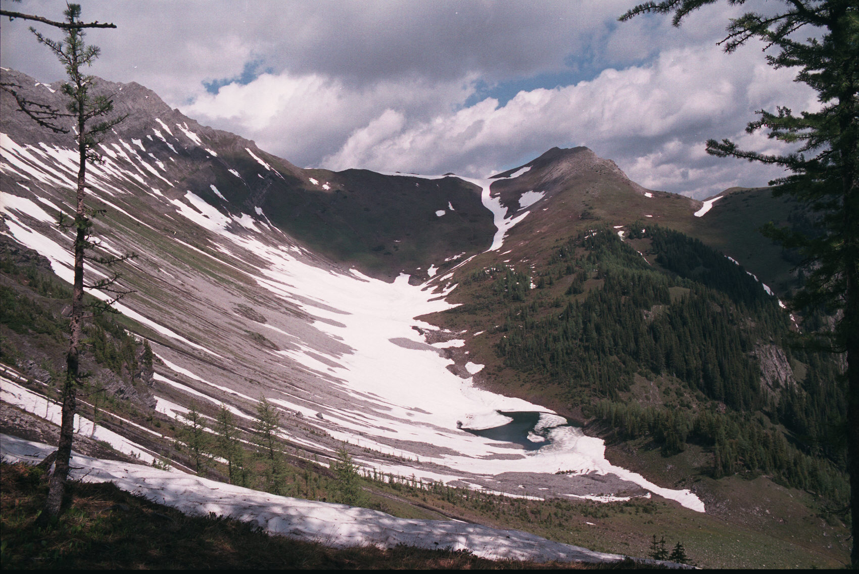
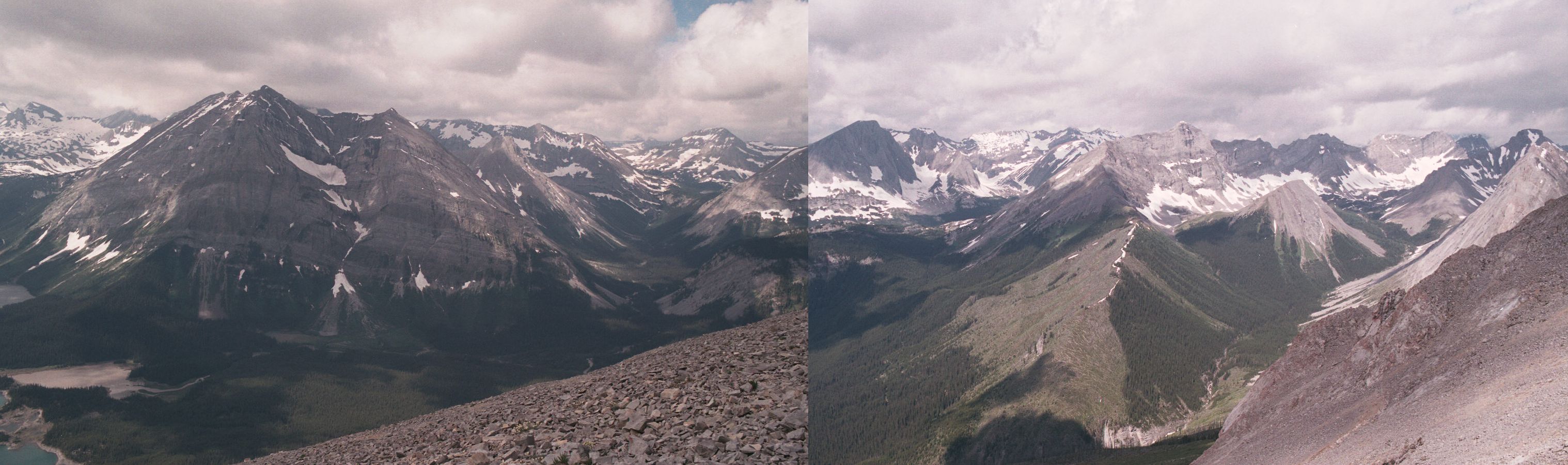
The Indefatigable trail goes to the top of the hill on the right - but the south peak is higher
and to the left.
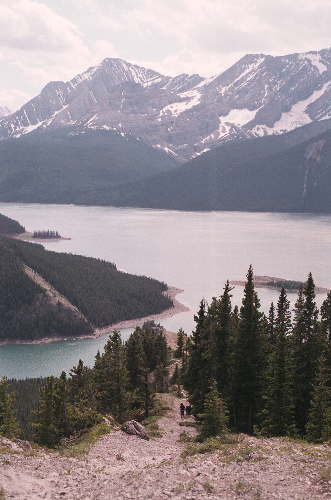
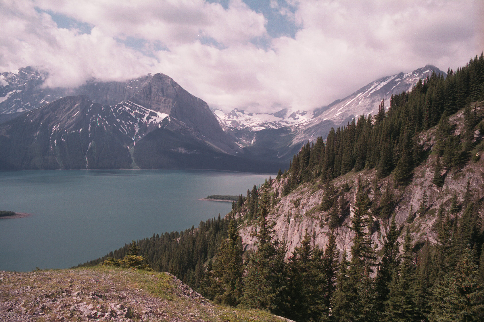
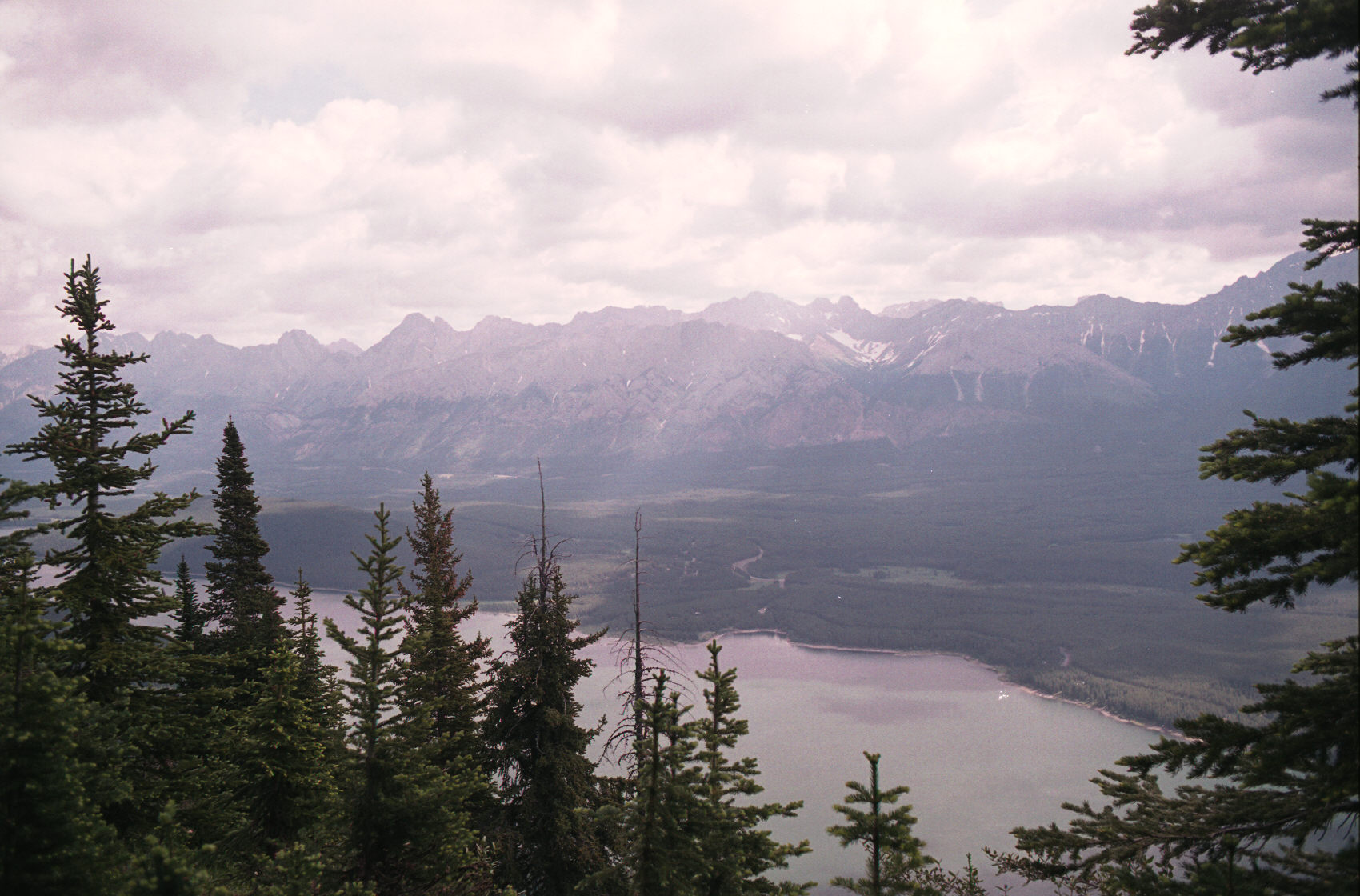
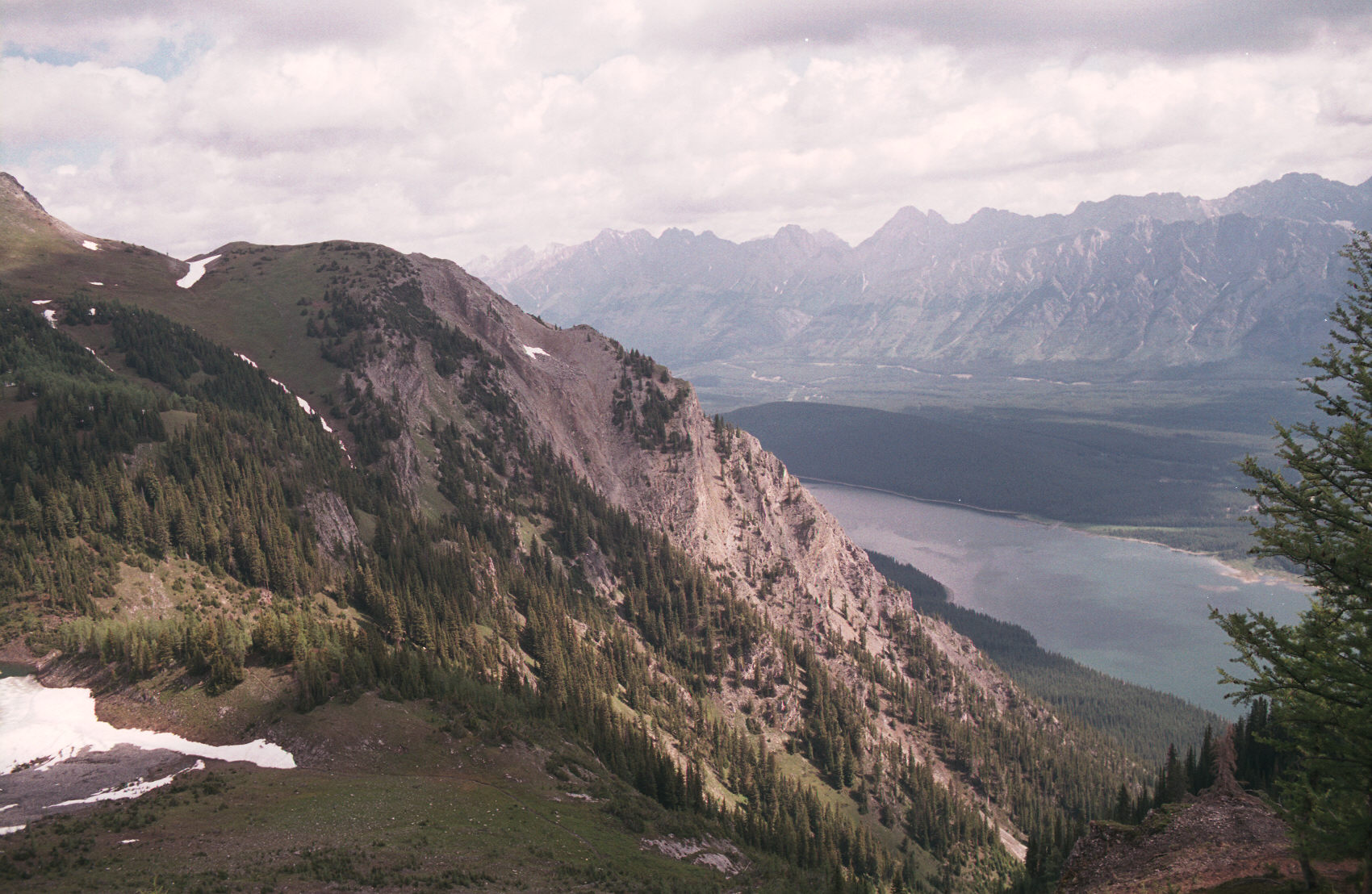
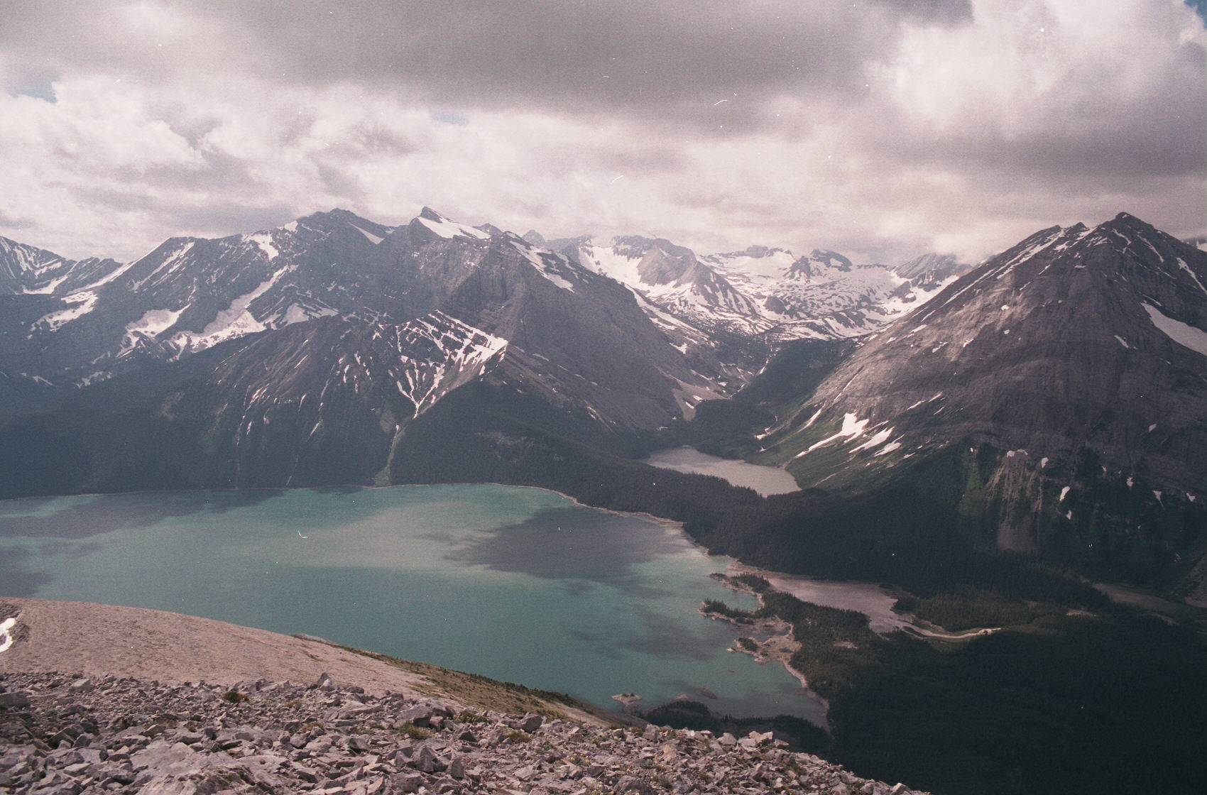
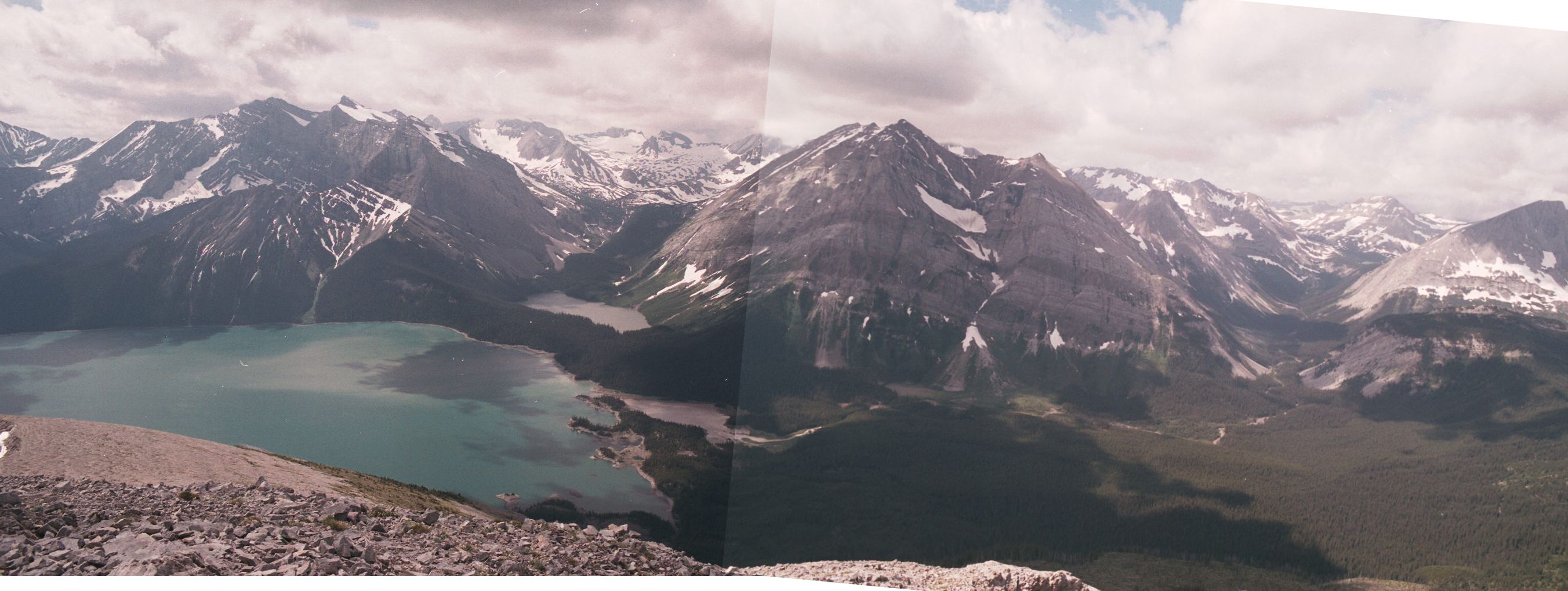
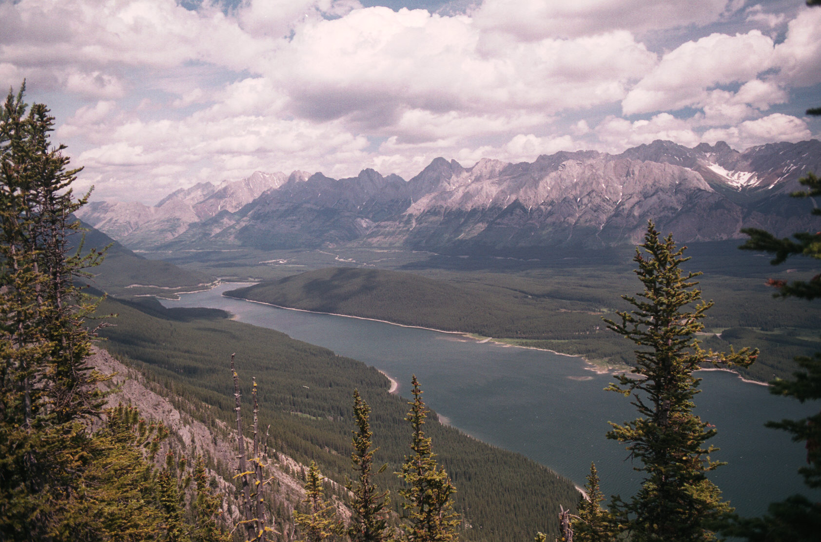
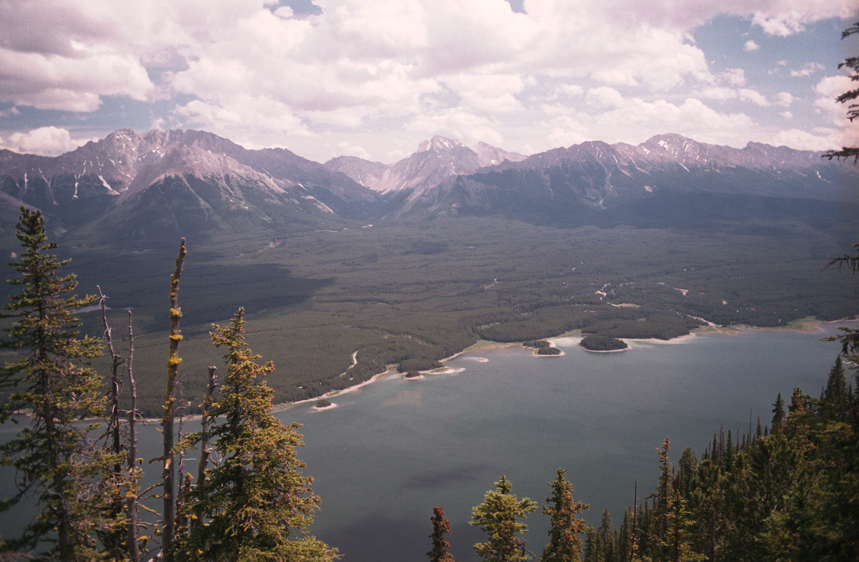
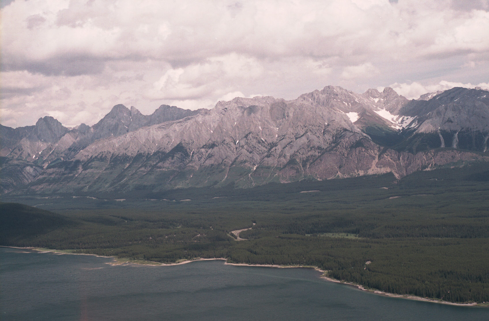
The tail has a short paved section and crosses between the Upper and Lower Kananaskis lakes.
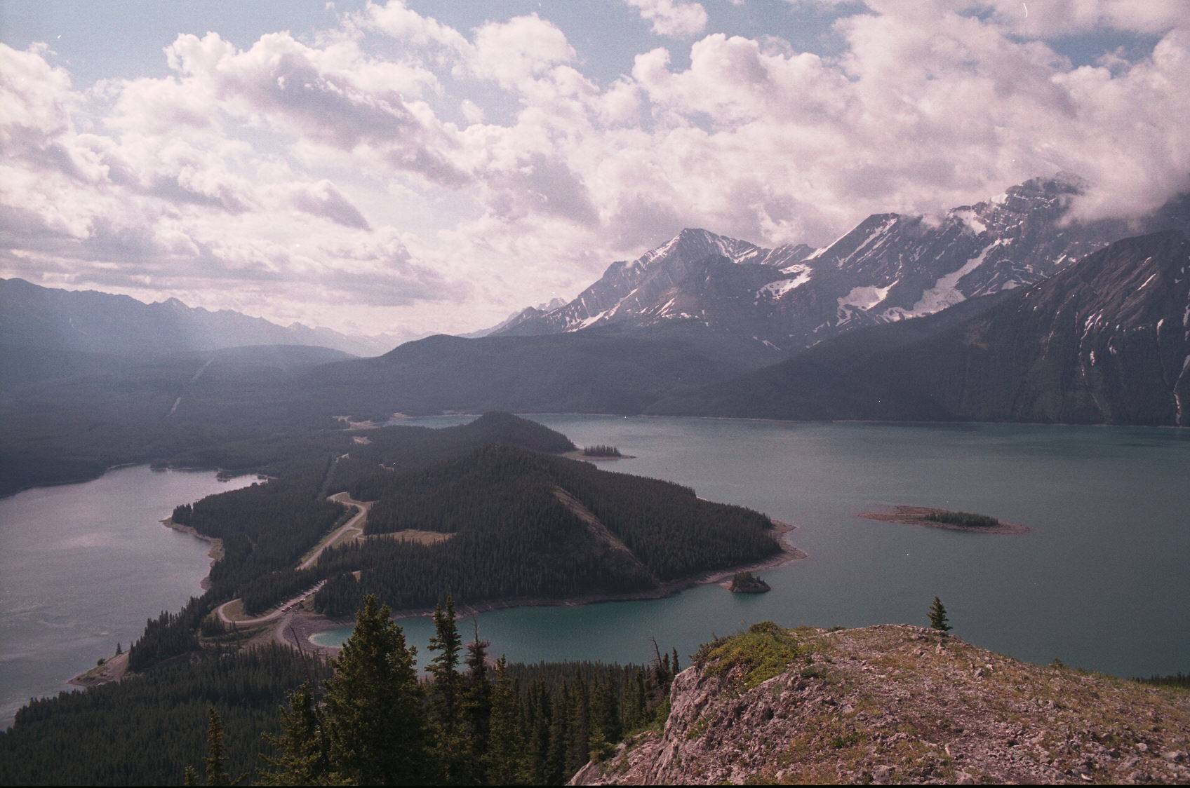
This view shows the road approach to the hike and the Mount Everest Expedition trail climbs one of
the small green hills on narrow stretch of land.
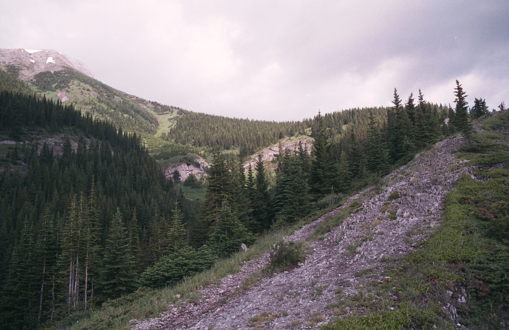
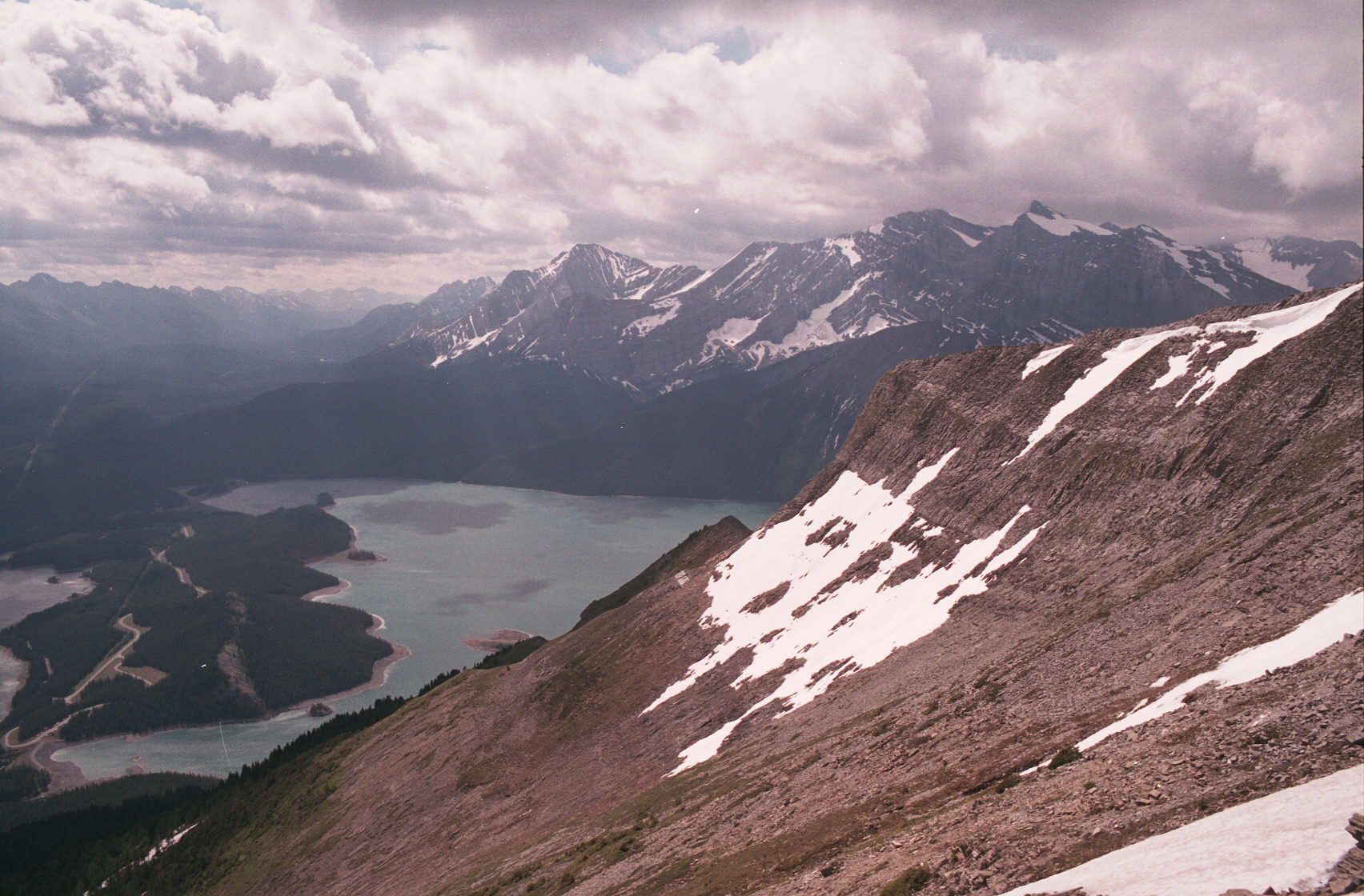
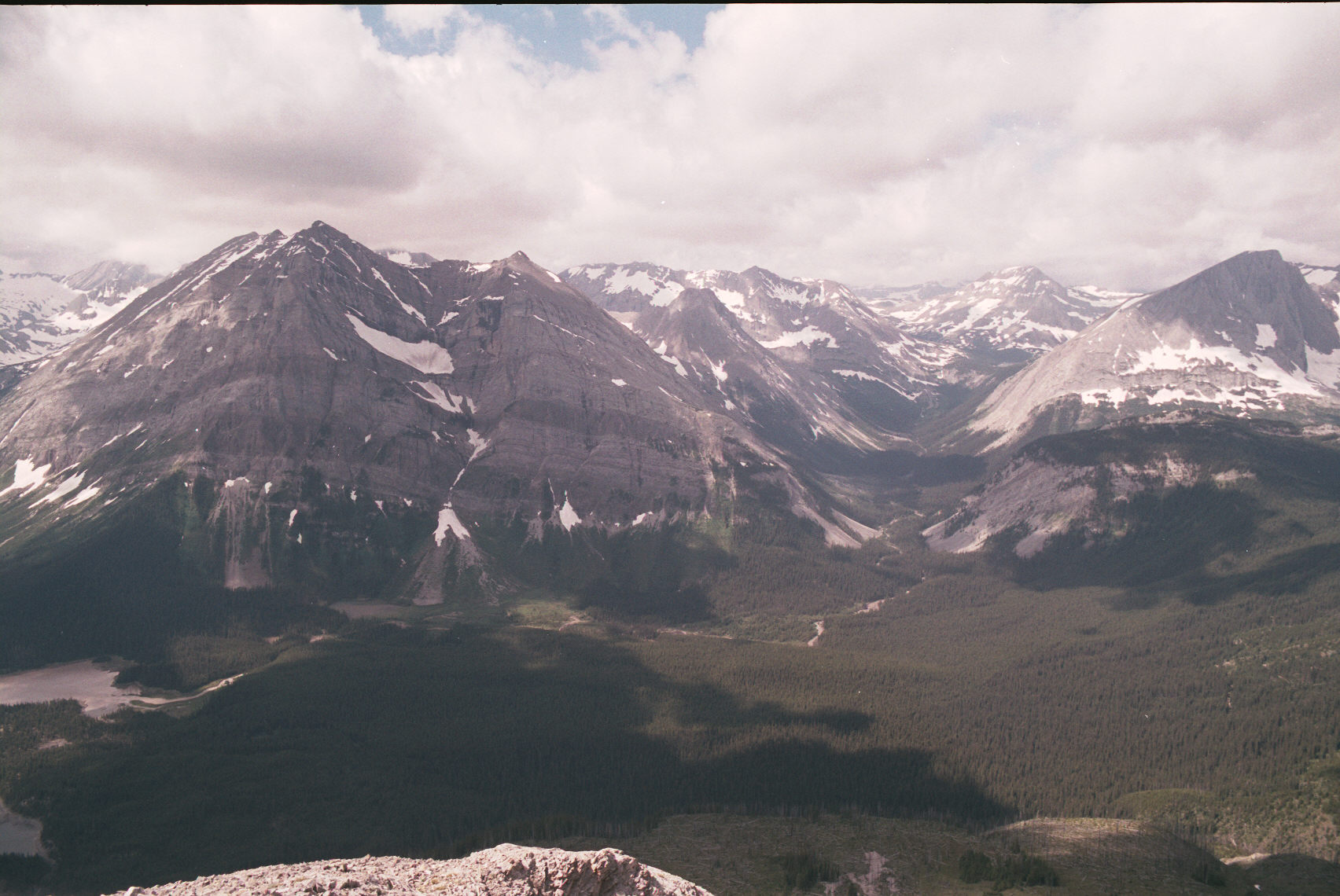
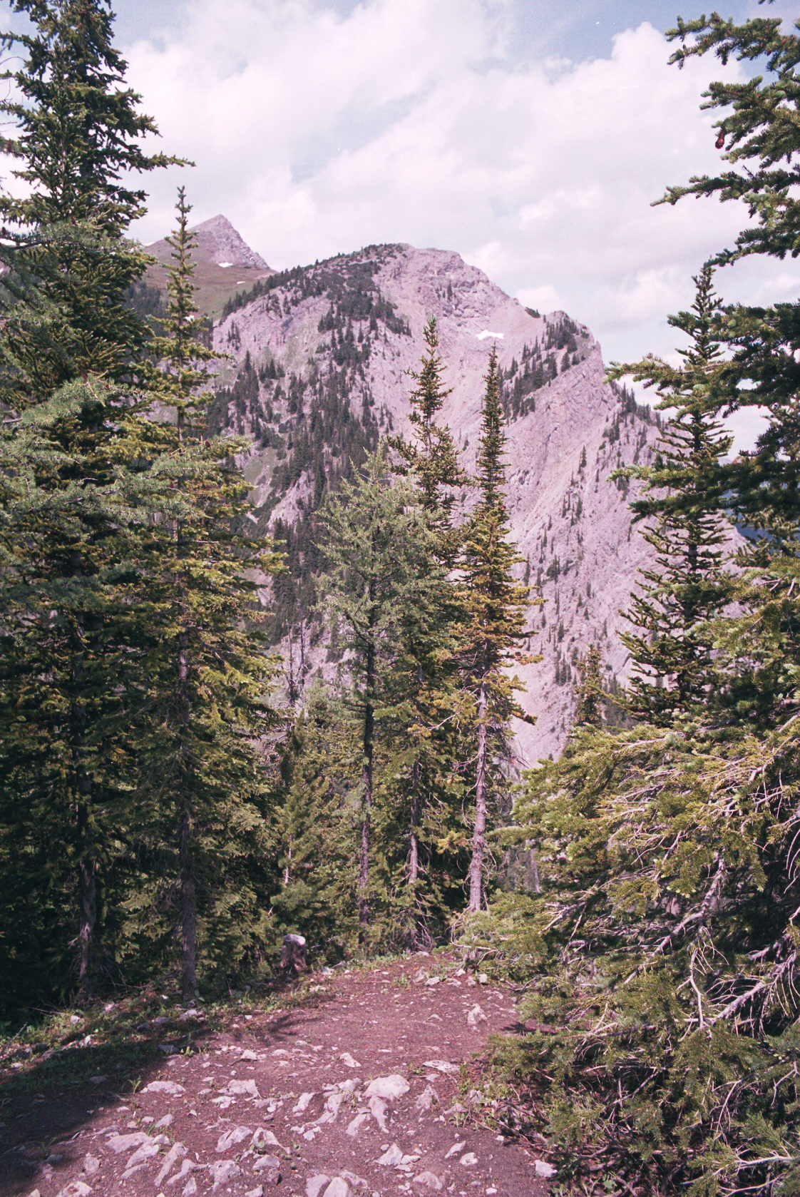
The way goes ever up. The south peak of the Mountain is visable on the left. The trail to it
is quite clear. Generally it was good; but slippery and muddy in parts.
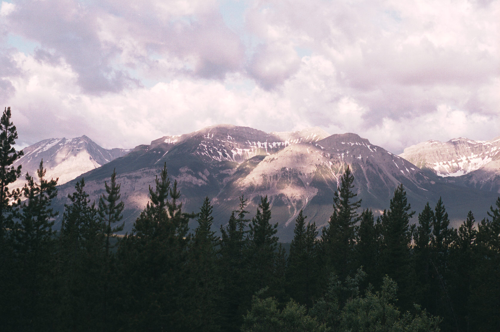
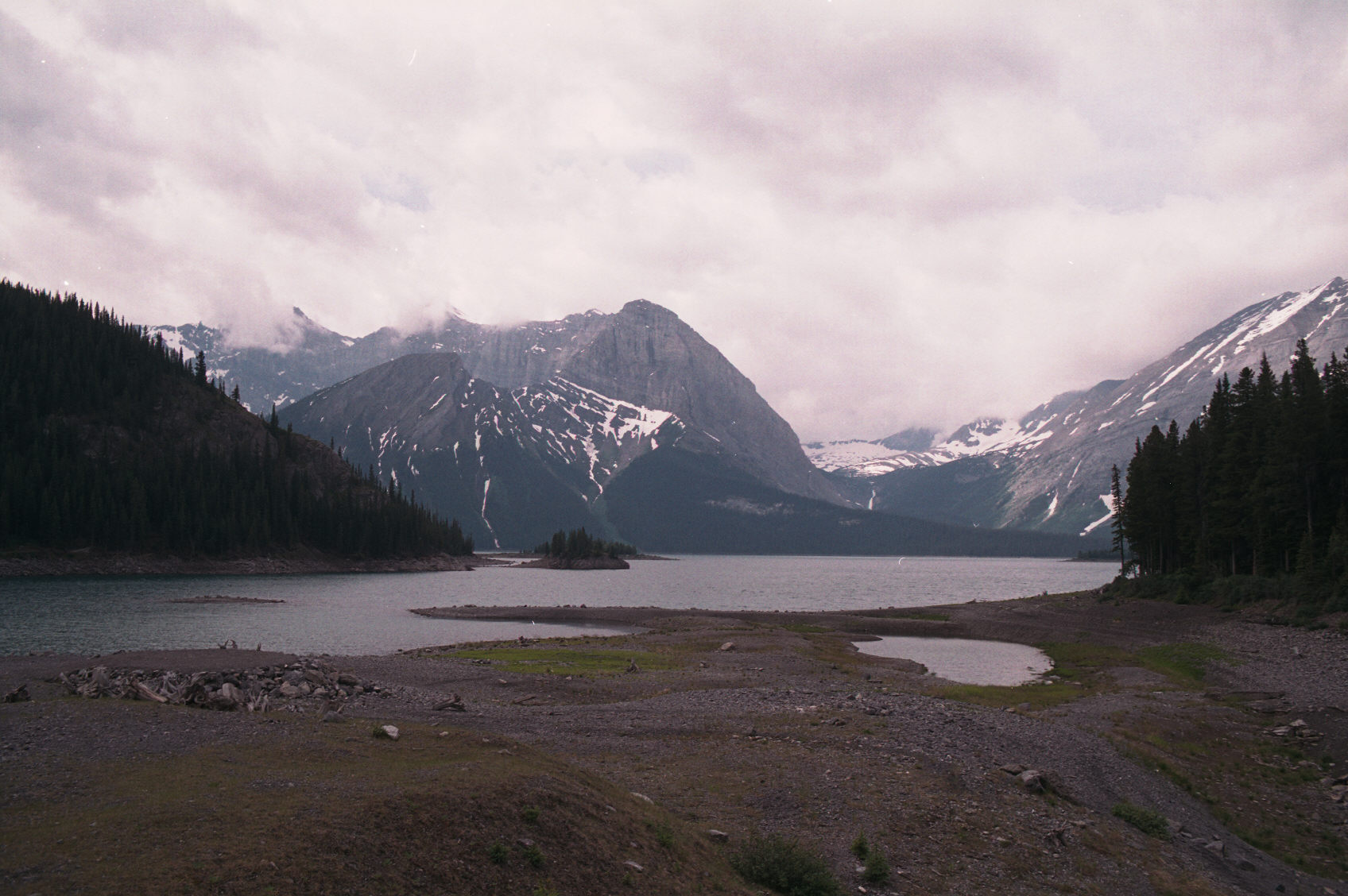
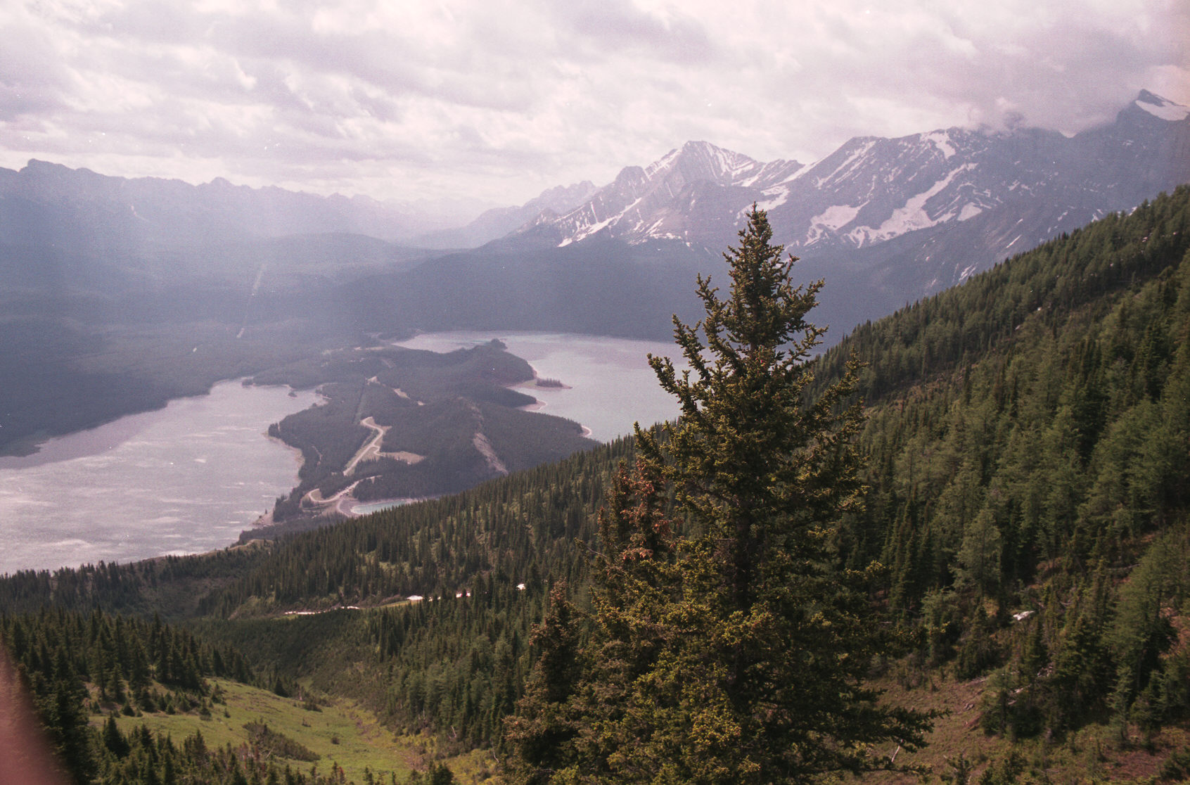
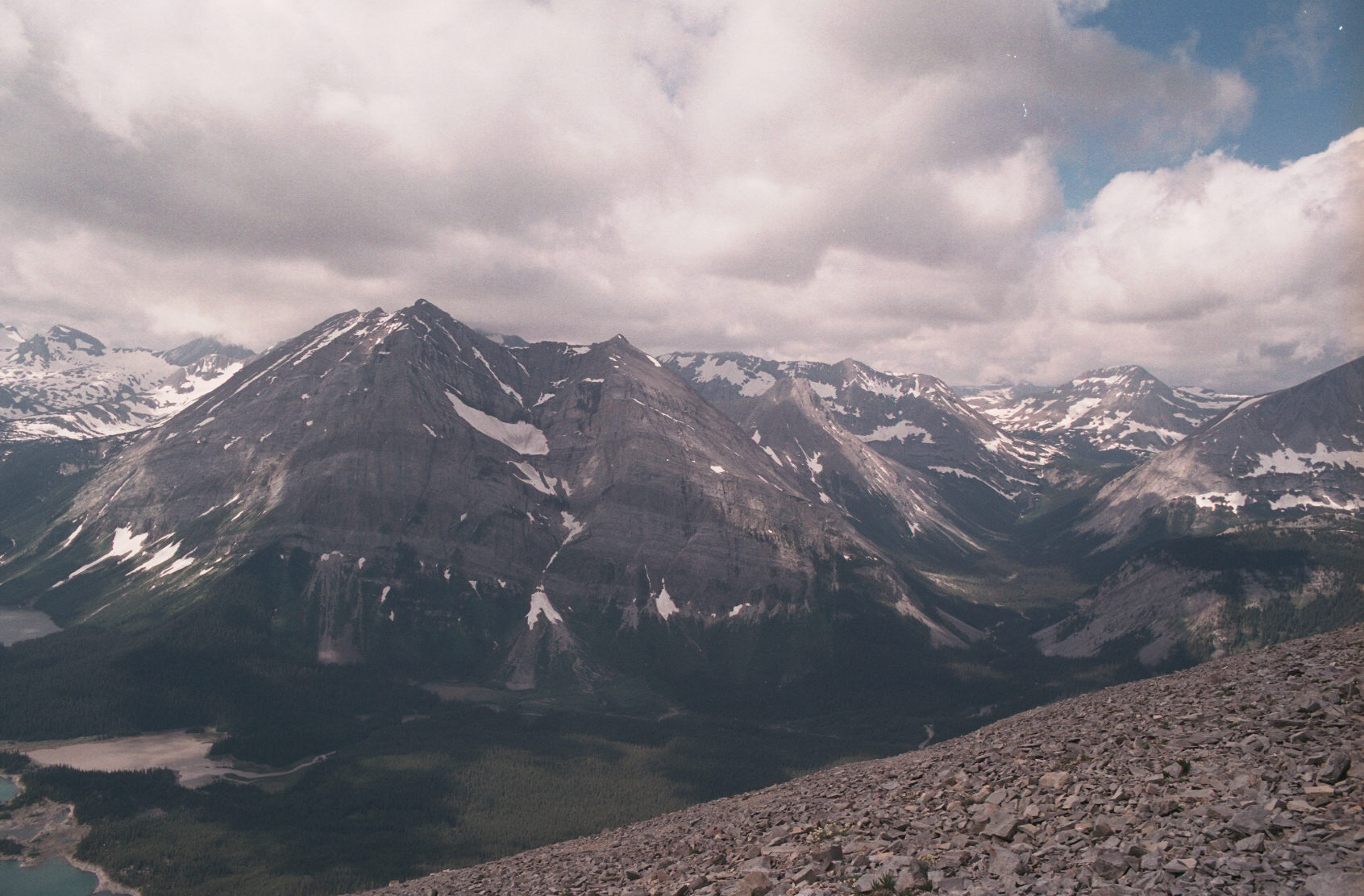
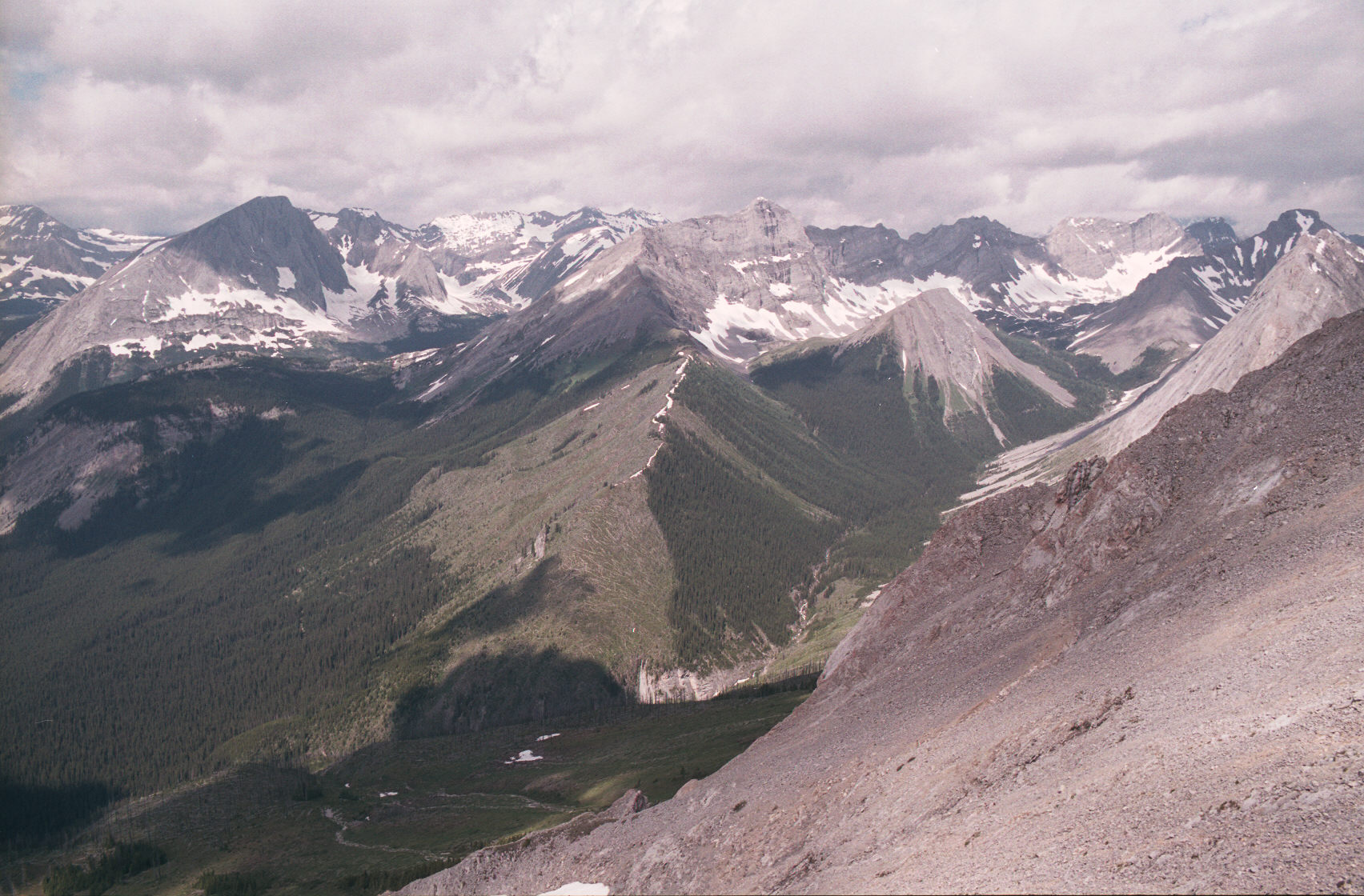
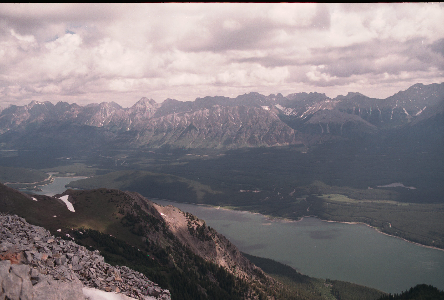
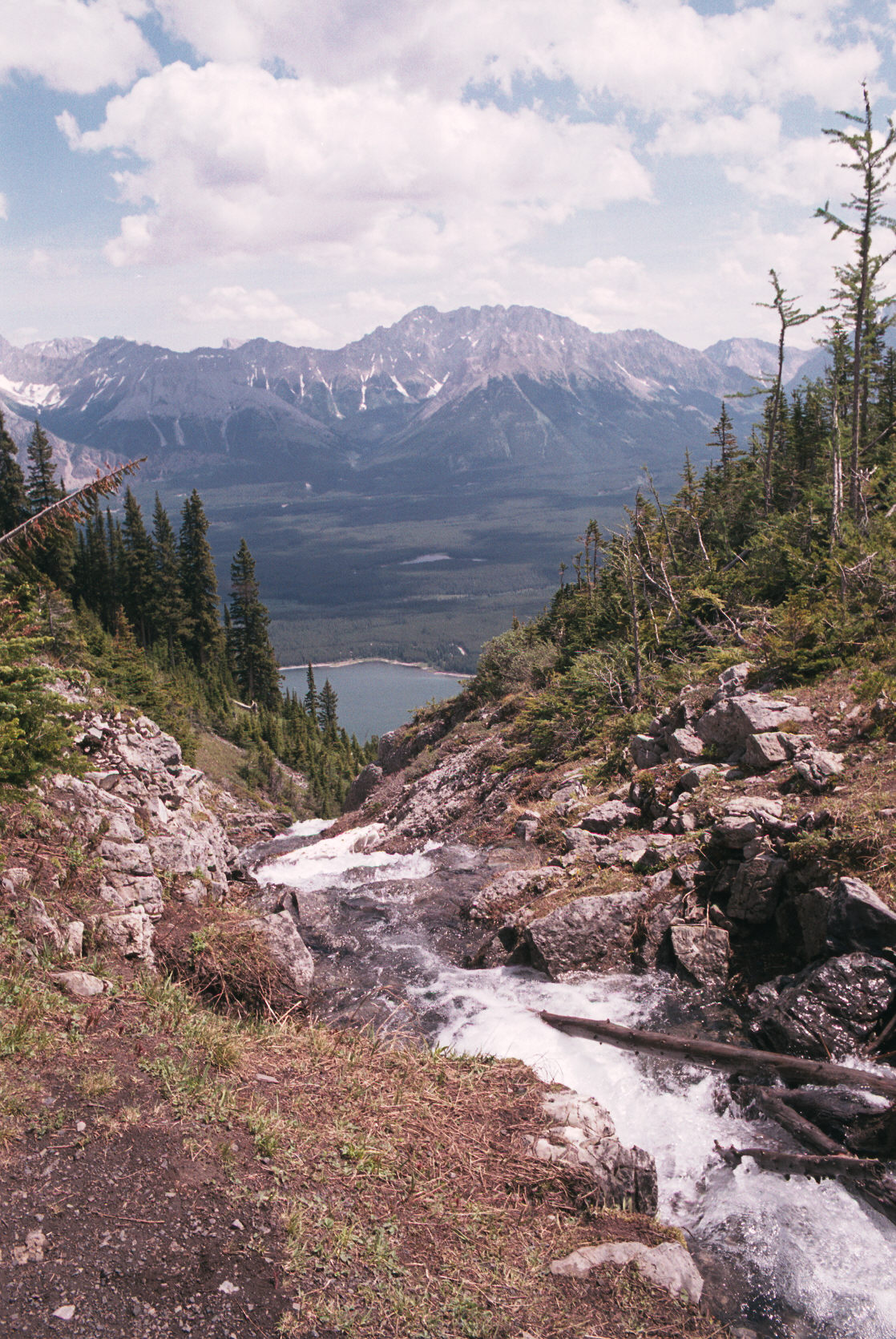
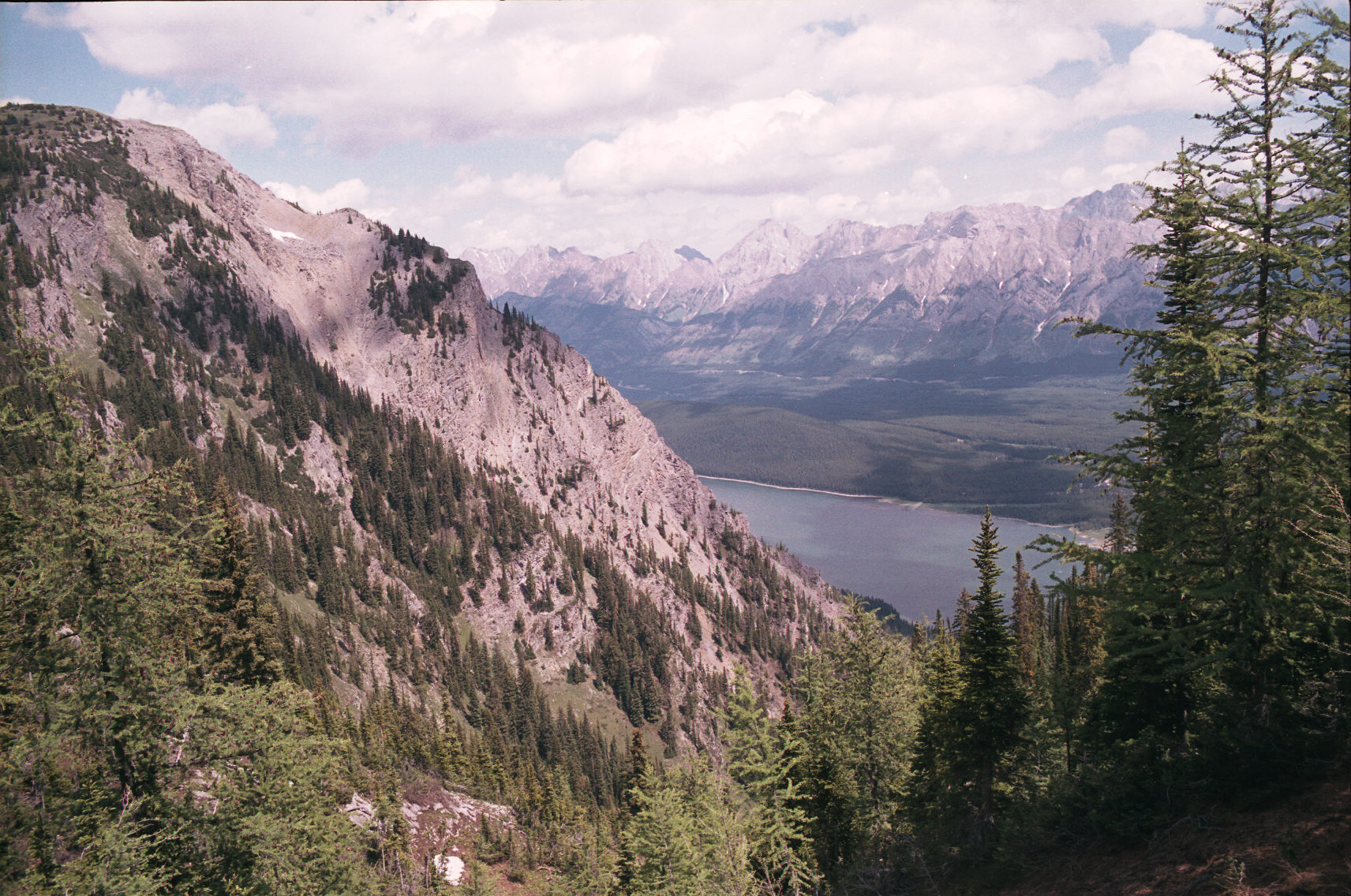
This view is towards the Boulton Creek campground and Little Highwood Pass with the valley mountains
behind it.
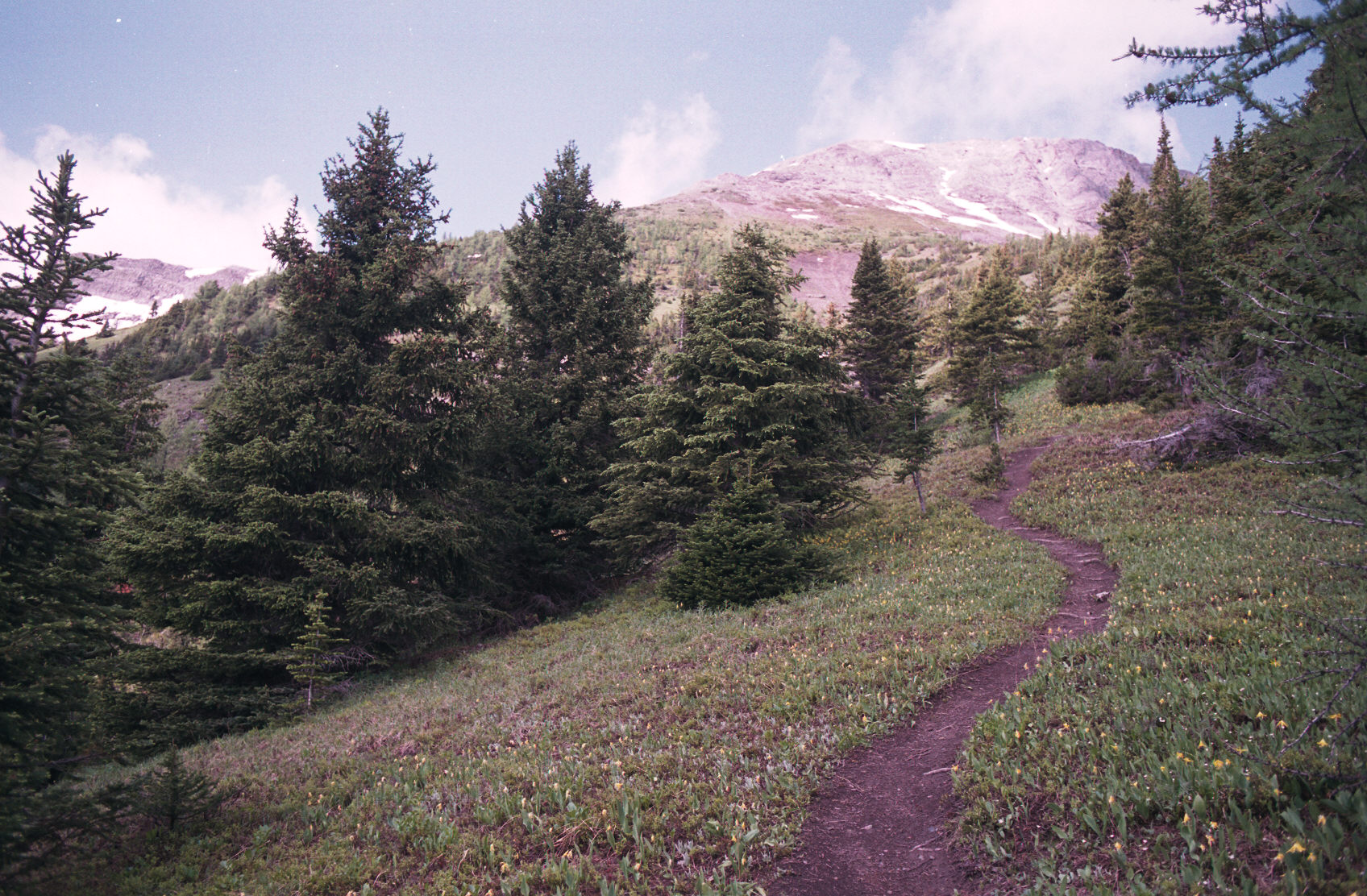
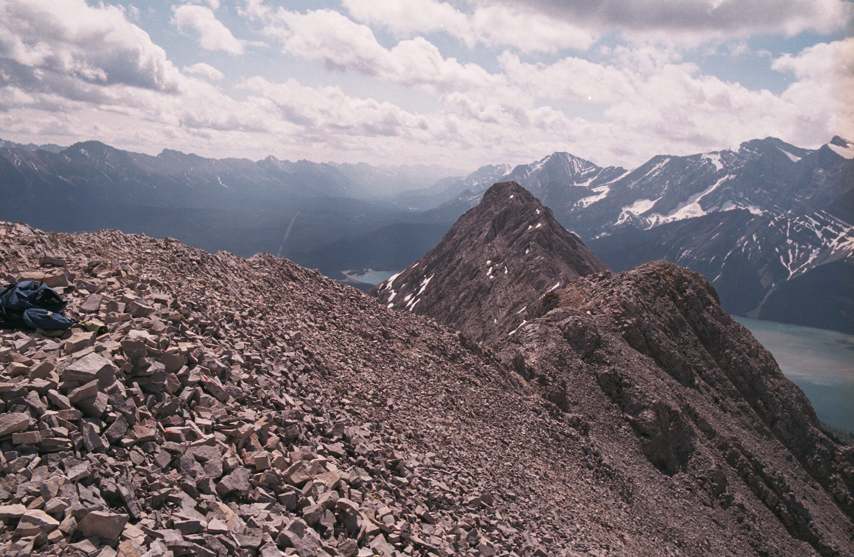
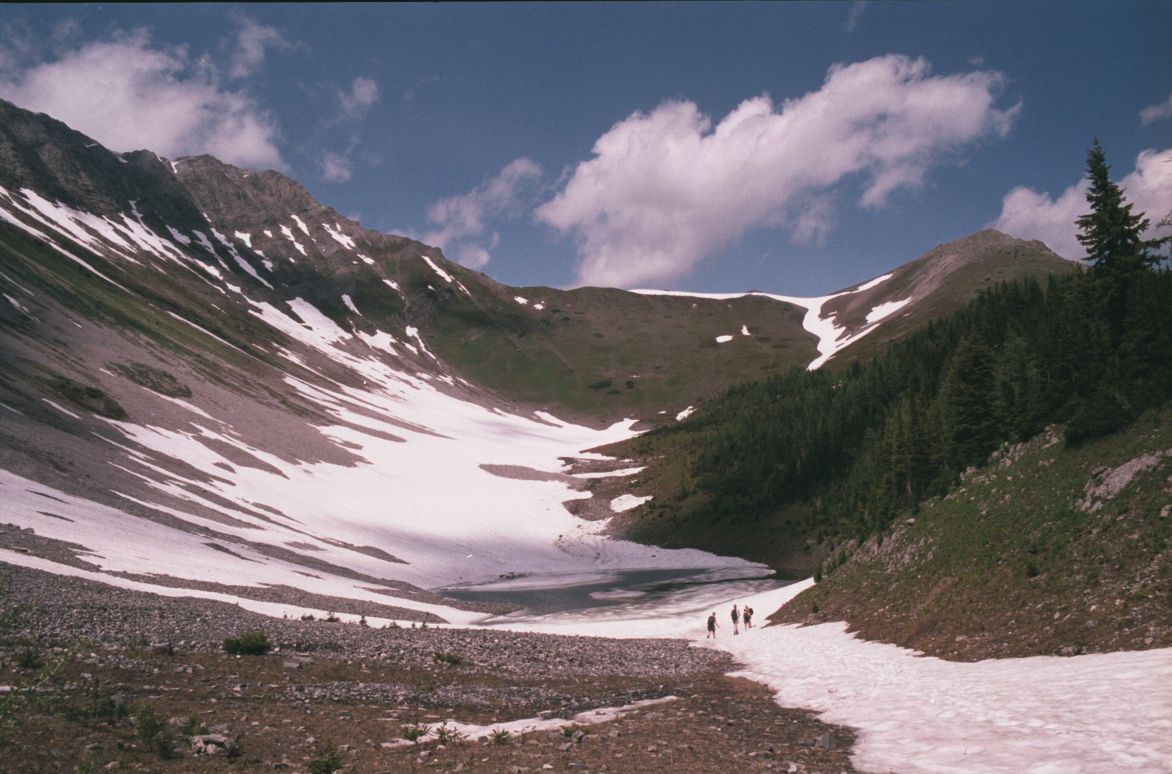
At this point I'd reached the weather station (?) and was contemplating continuing onto the North peak. I was not eager to go as I was already almost out of water (having brought only 2L) and it was hot and quite windy. But the thought of better views just drew me forward. As you can see the ridge walk involves a bit of elevation loss before you climb to the north peak.

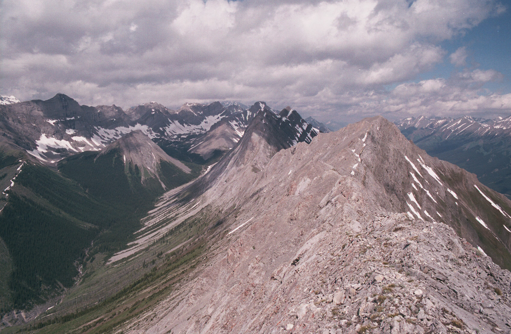
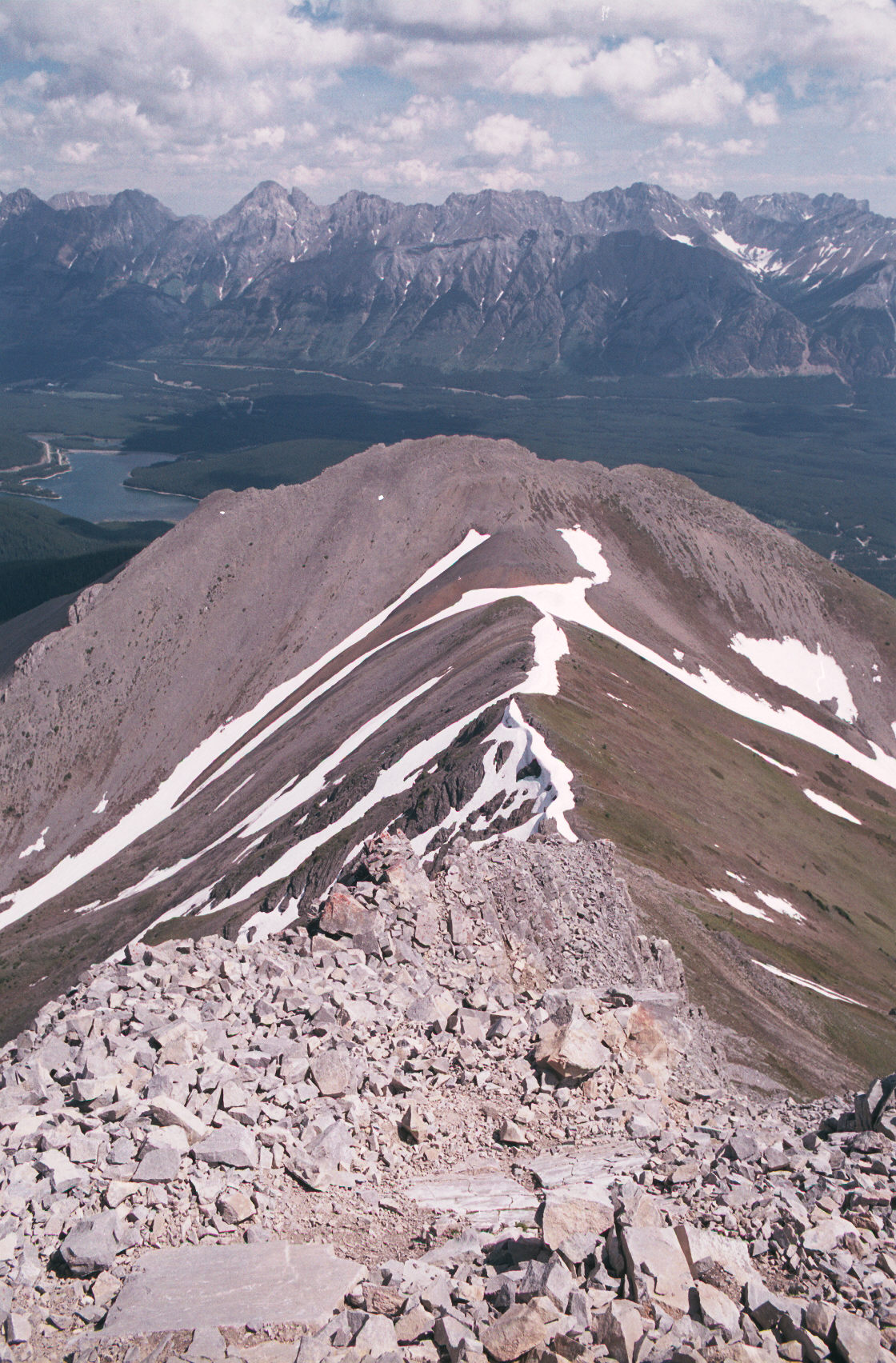
This is the last bit of hiking before you have to go down. There are many ways
down.
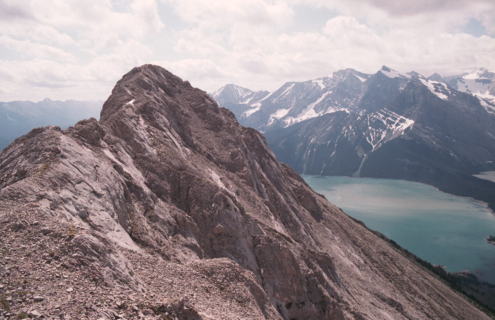
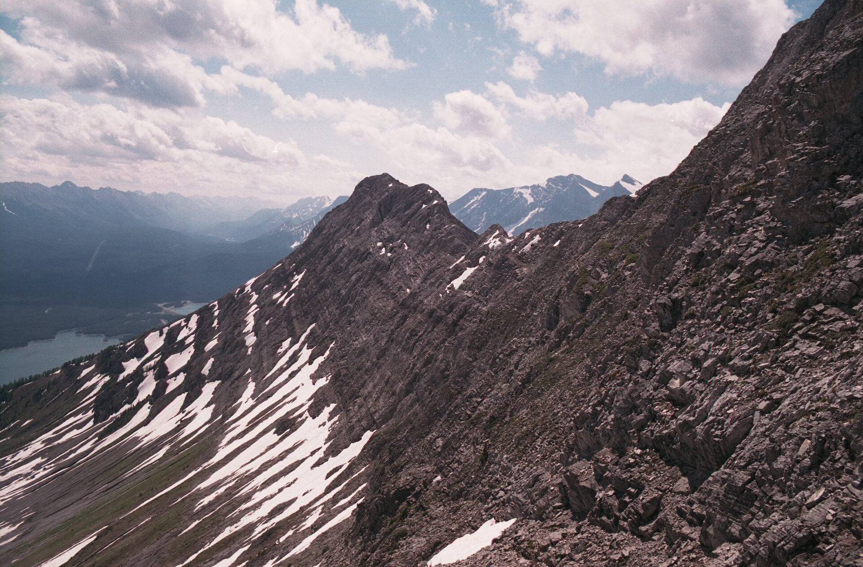
This is one way down - a walk on another ridge to a lower peak. I choose a steeper way to the
immediate left - I should have done the ridge walk for the view off of the end!
At this point I've descended from the peaks. I really should
have stayed on the ridge until a less steep place to come down - but I was in a hurry
for lack of water.
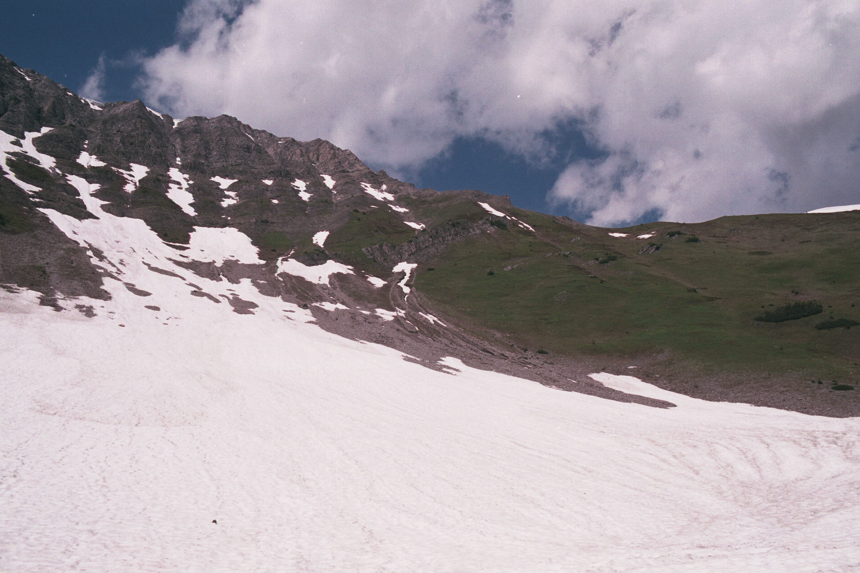
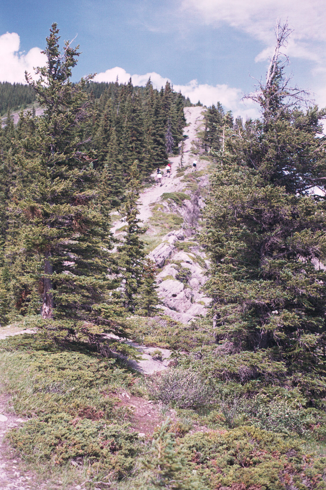
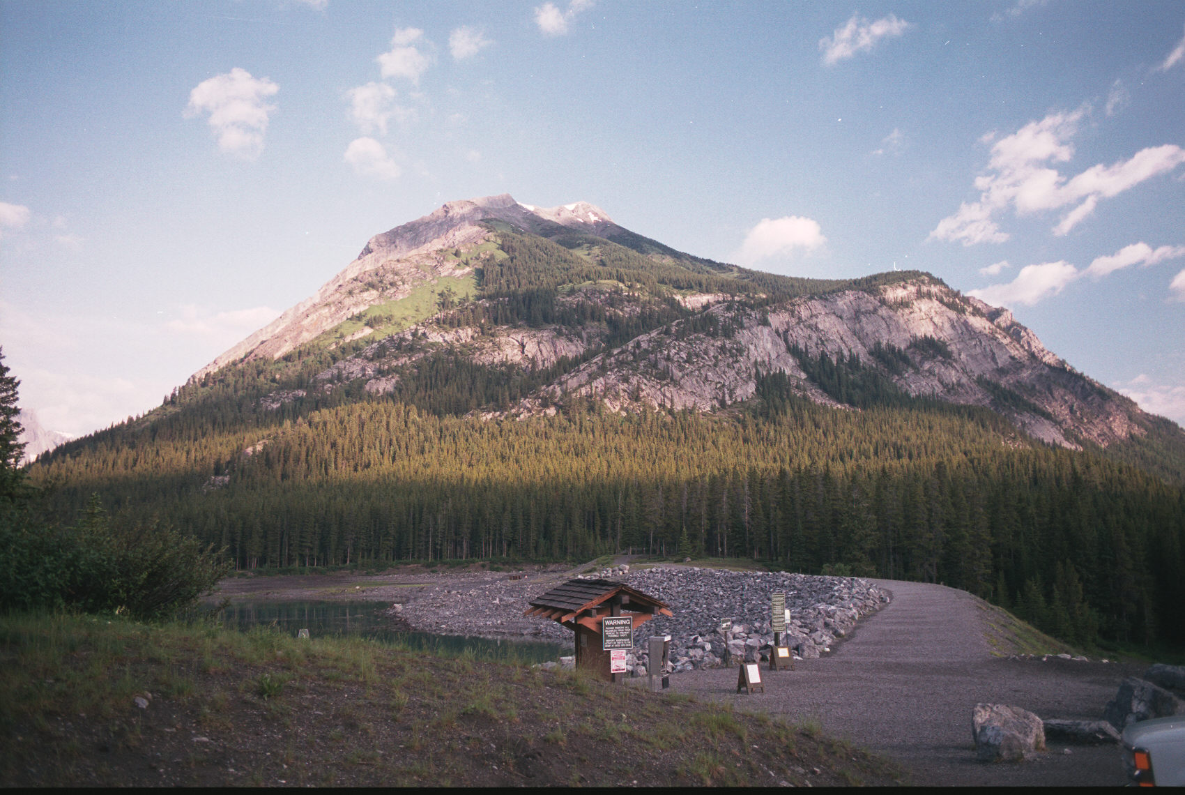
Here is a view of the steep climb you start with: