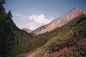
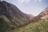
Start 9am, 10am at Rowe Lake, took trail to Lineham Ridge
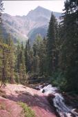
10:20 stream crossing in Medow - 2 wide shot
11:30  - 2 wide shot of valley,
11:45 at Col
12:25 at peak (2728m), finished film
Quick descent down side + snow glisade
2:18 back at car
This was quite a nice hike. I only met one other person and my goal was to get to the top of Lineham Mtn (2728m). The book said that the standard approach is a scramble right up the screen slope but I had plenty of time and food and so I figured that the more fun way would be to just follow the hiking trail upto the col and then walk the ridge up Lineham mountain. The only thing slowing me down was the rather large, and deep, snow fields still left!
Here is a view of the normal scramble to the peak. The small snow patch by the cliff band was where I descended and
there were trails from other people. This was the single most terrifying part of my trip. I'd jumped from the
cliff onto the snow (more of a step than a jump) and found that the snow was much harder than anticipated. As a
result I went straight down the cliff (no stopping to collect $200) and the only control that I had was which part
of me was going to hit the scree first. I opted for my boots and had 3 broken fingernails, a small tear in my
pants and numb/tingling hands that took overnight to heal.
After that a phrase in the scambling book made a lot of sense - "ice axe for self arrest".
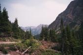
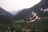
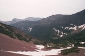
The 2nd picture was taken from the sidetrail to one of the smaller Rowe Lakes.
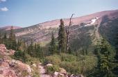
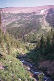
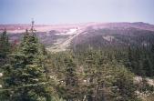
At this point I'm out of the valley towards the col. The first picture shows switch backs from a trail continuing
to a view point overlooking one of the Rowe Lakes.
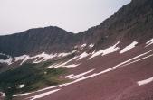
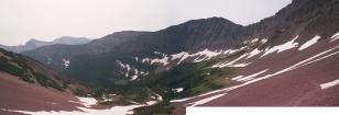
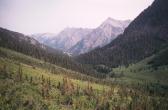
At this point I'm almost at the col. The scree is quite stable and Lineham Mtn is within my grasp. The walk up to
the peak is as straight forward as it looks. It is another 15 min. to the col and beyond that another 45 min. to the
actual peak.
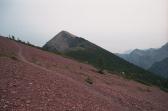
Now at the peak; here are the views.
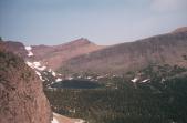
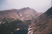
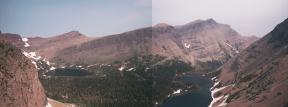
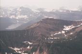
I'm now off of the peak and back on the trail going down. This view back is where I descended.
