This was the 2nd peak that I was trying to bag in one day. In reality I had already done about 1100m of climbing (Paget Peak) and I was hoping that I'd have a bit of a view - without making it up all of the way (1330m of climbing). After all, I still had another 5 days of hiking left in my vacation.
The parking lot, much like the Paget Peak hike, is fun to find. To get to the parking lot take the unmarked turn just east of the town of Field, on the north side of the highway. Then turn left and keep going straight until you find the parking lot and a trail marker for the Burgess Pass trail.
Much like other hikes, the parking lot was nearly empty (one car). I was tempted to climb Mt. Field but I opted for Mt. Burgess - figuring that the view would be better as Mt. Field would give me similar views to the Iceline hike (just higher).
12:55pm - starting at the Burgess Pass trail
1:58pm - Now at the scree field I go up up and up.
2:36pm - I'm at a knoll on the right shoulder and taking pictures.
2:50pm - turning - almost up the gully to the flatter, right, movement
I'm estimating the peak is another 30 min. but I am turning around.
3:17pm - I am down from scree and back on the trail.
4:17pm - back at car; only one other car in lot
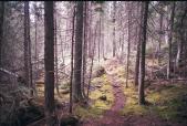
You will start by hiking in the forest, crossing the ocasional scree field.

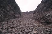
When you reach the scree field to the peak you will recognize it. There are trails and carns heading right up it.
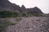
Trails cling to the left and right sides of the scree field as the scree is loose and there is less at the edges.
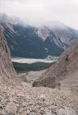
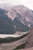
This scree makes for a fast descent! In the background you can see the town of Field.
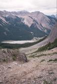
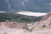
The view from the first rocky knob on the right isn't very inspiring.
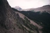
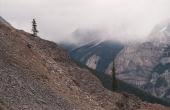
Leaving the rocky knob I go back onto the scree and head up. I continued a little bit further, perhaps 5 min. away
from where the narrows where the trail to the peak continues to the left.
