Summary: the peak is 2408m high, the hike took 8:30 with the climbing taking 3:15
7am - start, 7:48 first picture thru trees
8:50am - at Frosty campsite
9:55am - at peak hump before the peak
10:15am - really at peak (2408m), lots of walking around and pictures, 4 wide x 28mm then 50mm pictures
11:34am - heading down via Windy Joe route
1:36pm - at Frosty & Pacific Crest Trail crossing. Averaging 5km/h going down on flat trail.
1:55pm - bypassing Windy Joe climb
3:01pm - at Windy Joe parking lot (Don't take the Windy Joe descent!!!)
3:29pm - back at car
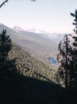
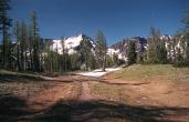
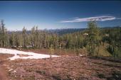
At this point I was starting to think that trail did not go upto one of the
peaks. But if you look ahead - the peak with the snow on it is Mt. Frosty and that
is where the trail goes.
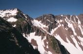
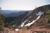
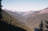
This is a nice picture because, on the right, you can see the apparent peak. The trail
gets hard to find going upto that peak - but then you turn left and walk the ridge upto
the real peak.
It is possible to walk the ridge to other peaks in this area.
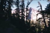
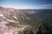
At this point I've started to descend from the minor peak.