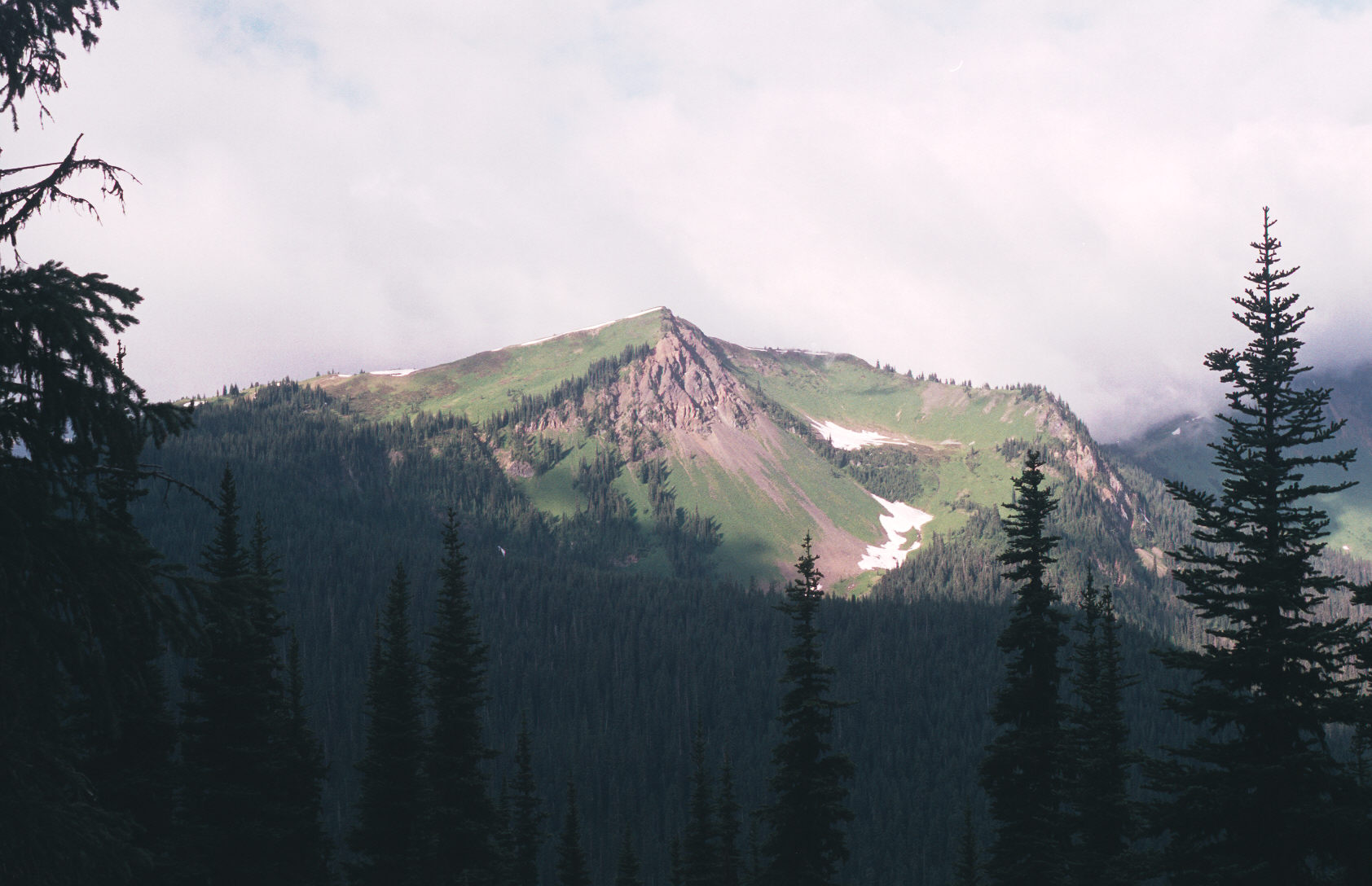
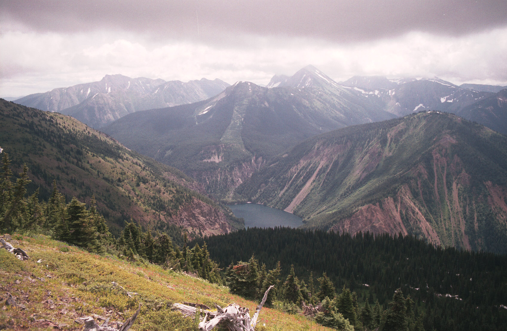
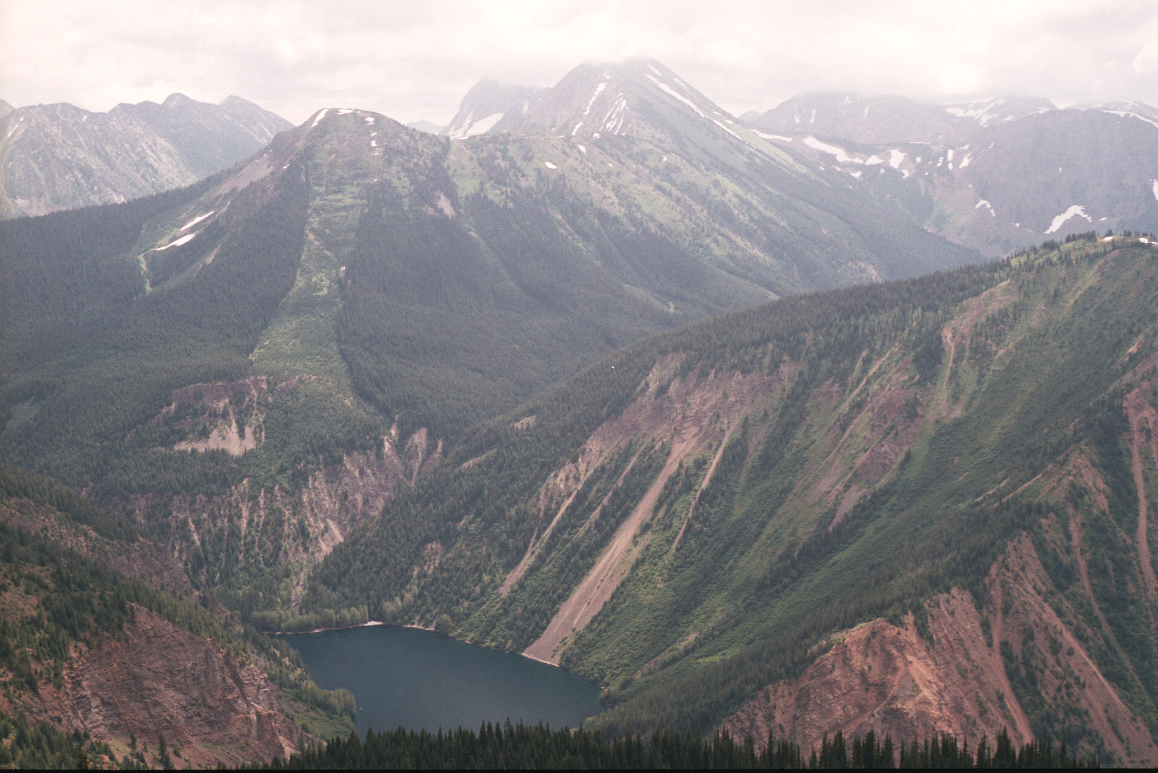
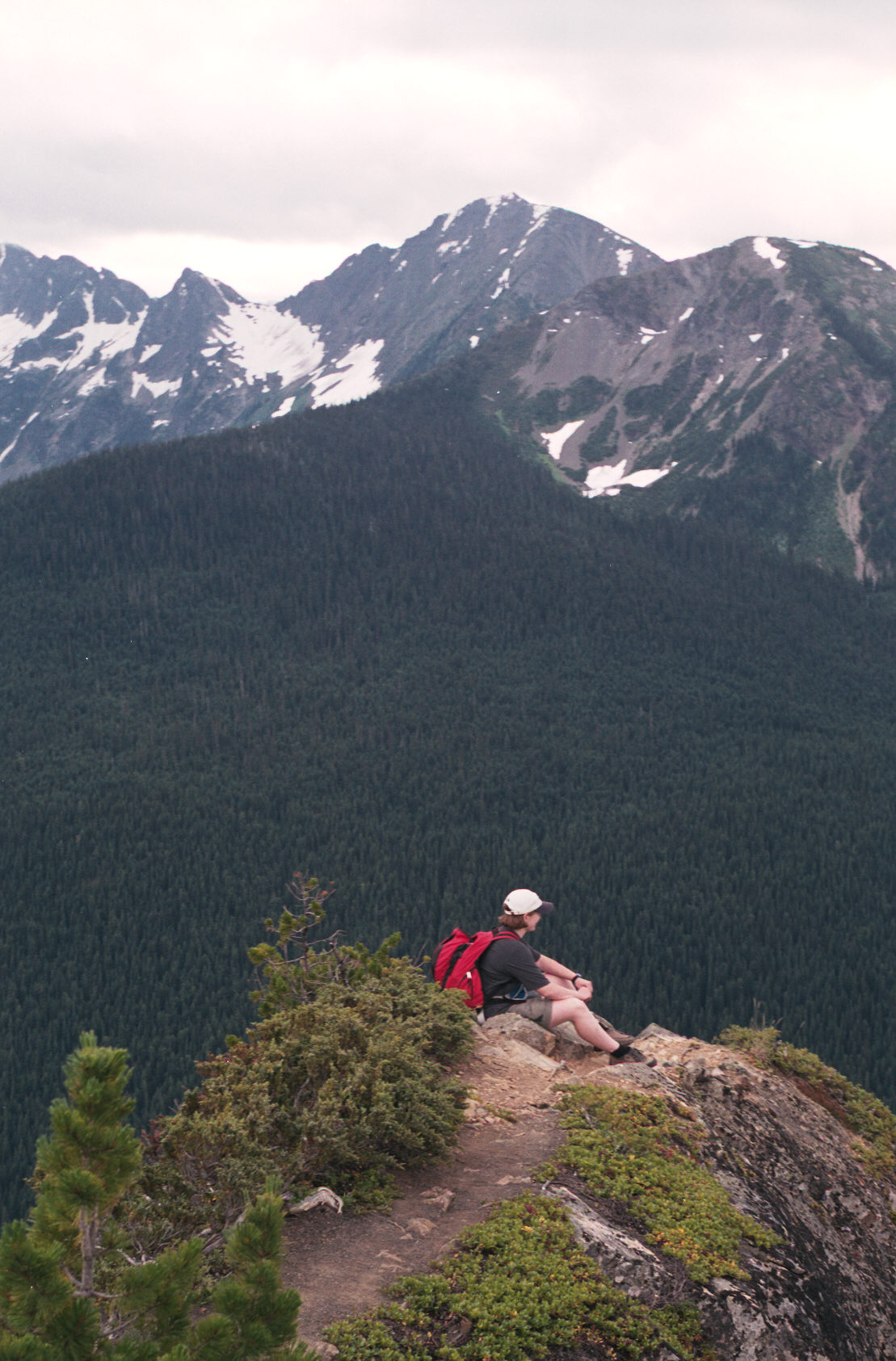
8:17am I'm at a rocky outcroping, the clouds are low but lifted briefly so I took 2 pictures.
The Skyline 1 hike looks quite nice as it follows a ridge.
Briefly this is how my hike went:
6:35am at the Strawberry Flats, I saw 4 deer and a snowshoe rabbit before starting.
6:50am I am heading out.
The trip going out was not fun - it was several hours of seeing next to nothing.
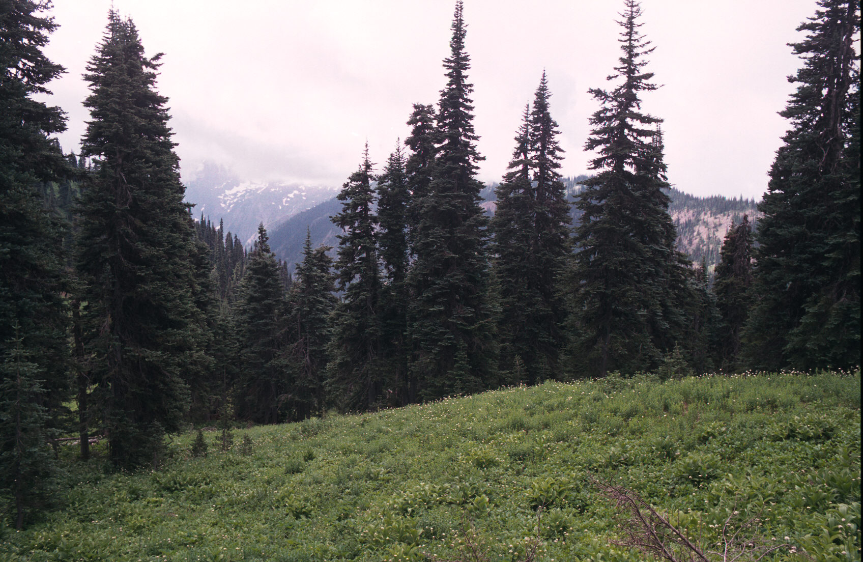
8:02am - Finally, a clearing and my first picture. When hiking uphill at a good pace my pulse is 150.
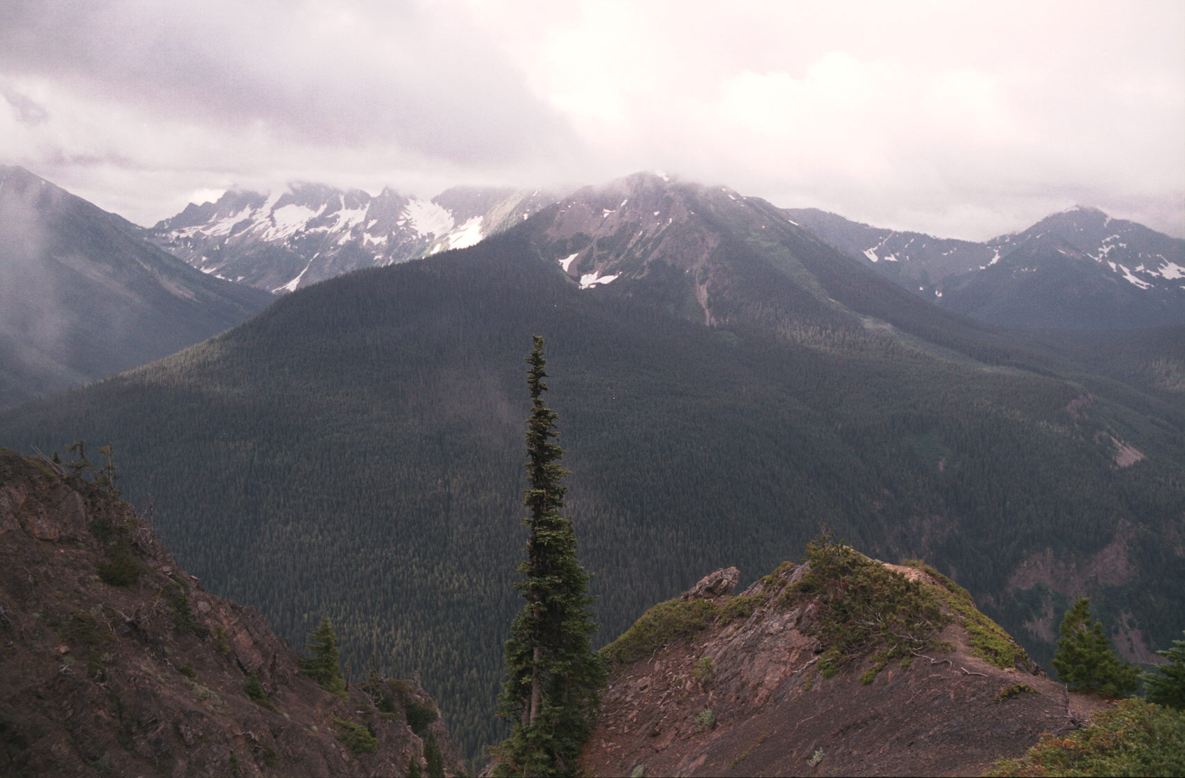
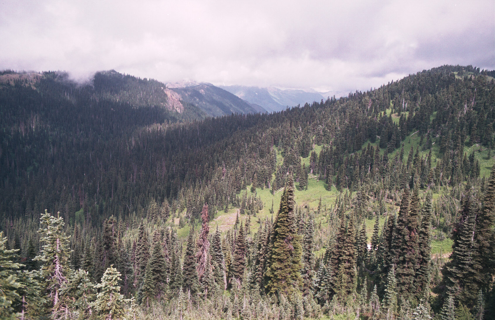
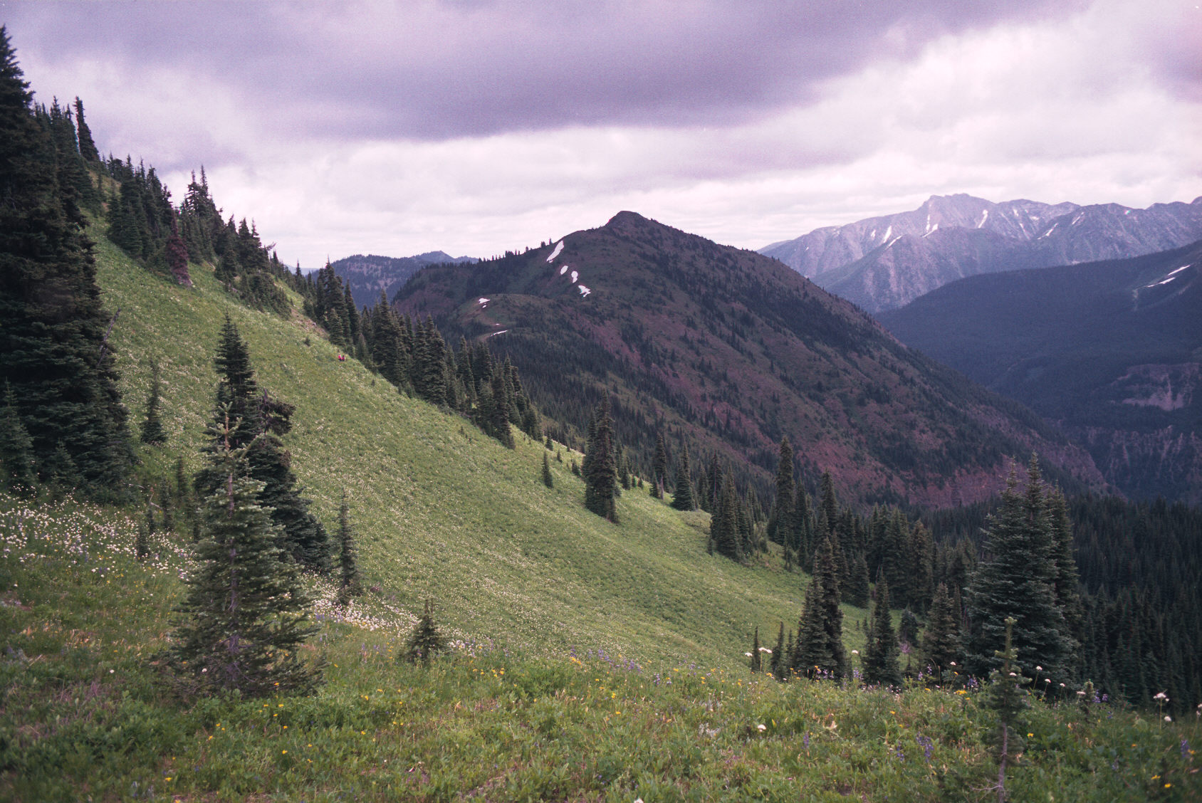
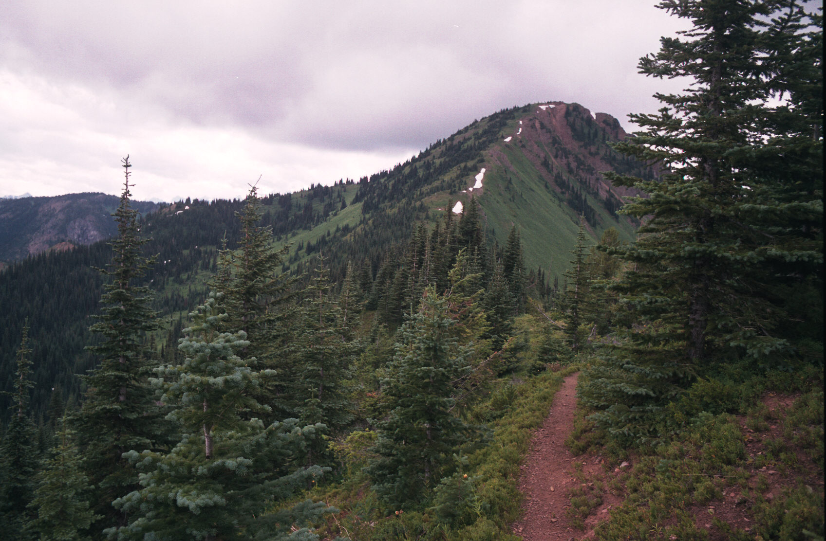
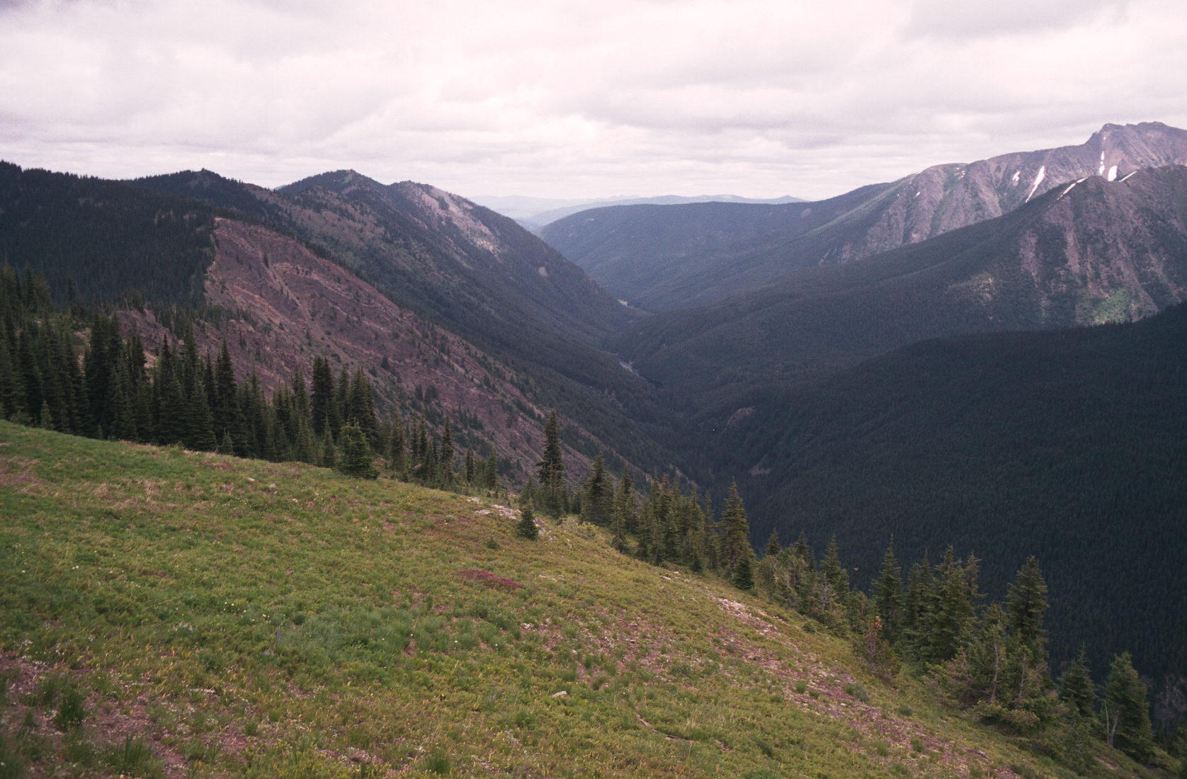
8:17am I'm at a rocky outcroping, the clouds are low but lifted briefly so I took 2 pictures.
8:58am I think that I'm at Despair pass - I can't see!
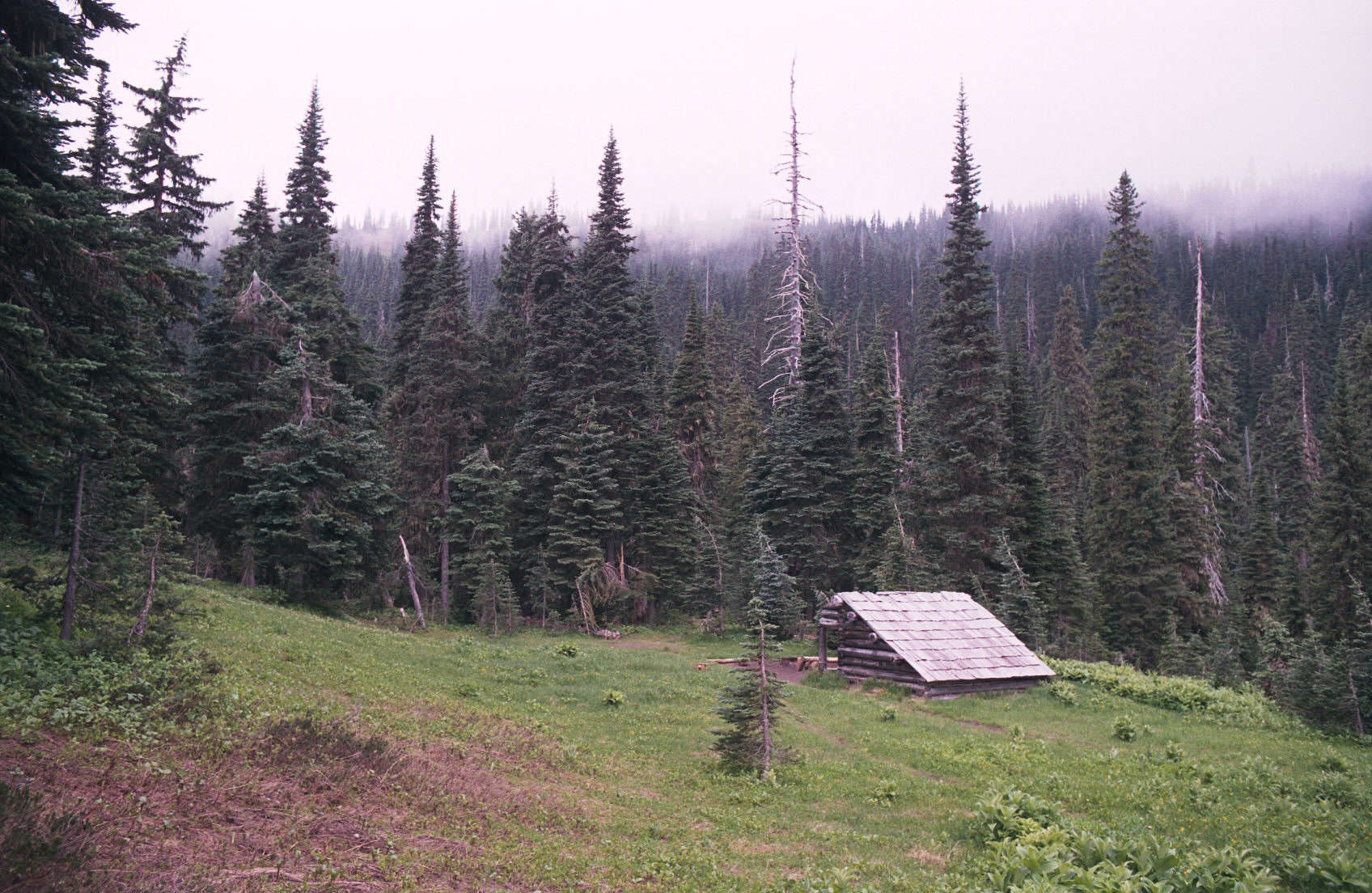
10:03am I'm at Mowich camp. A small leanto marks the Mowich camp.
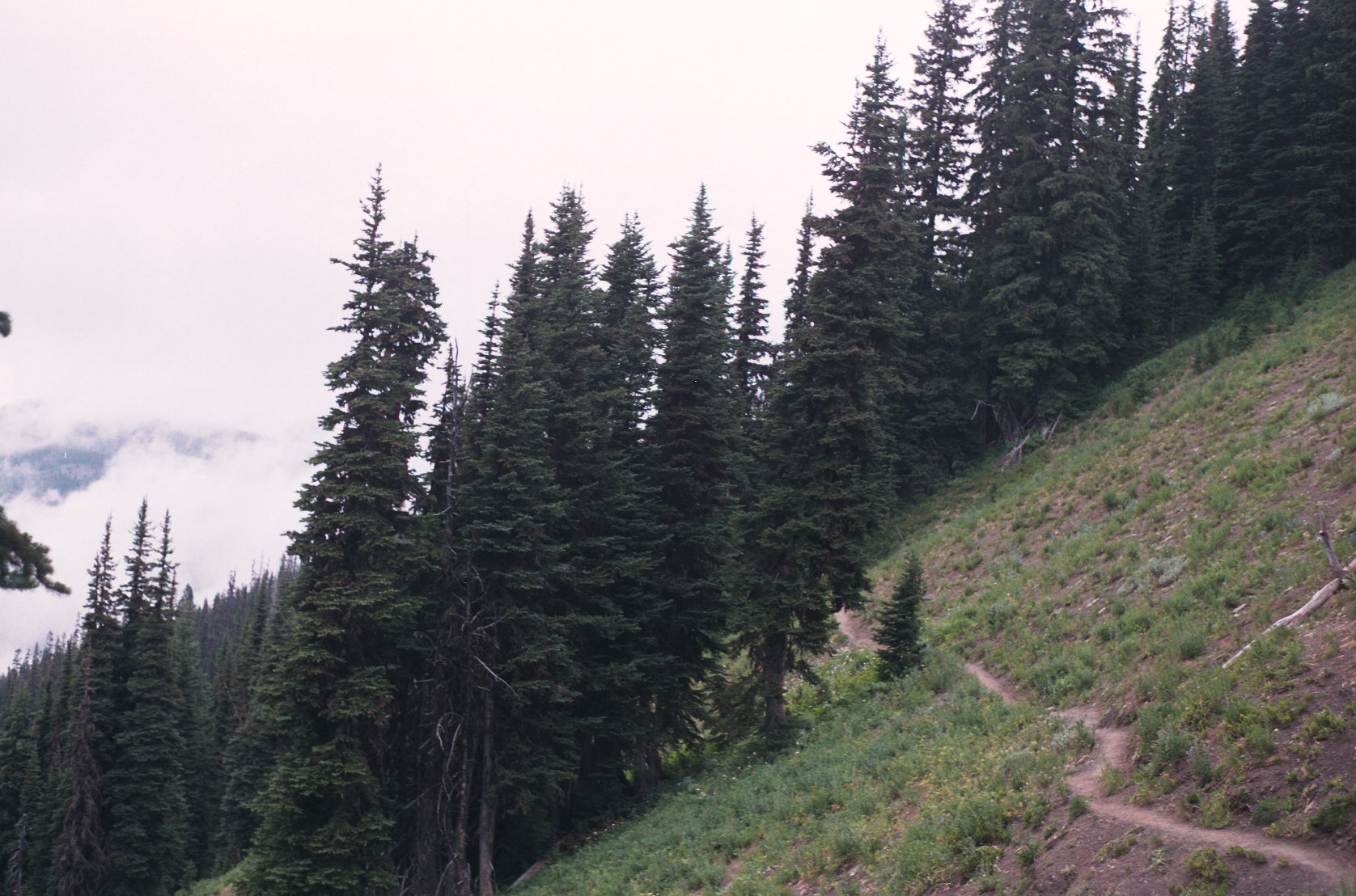
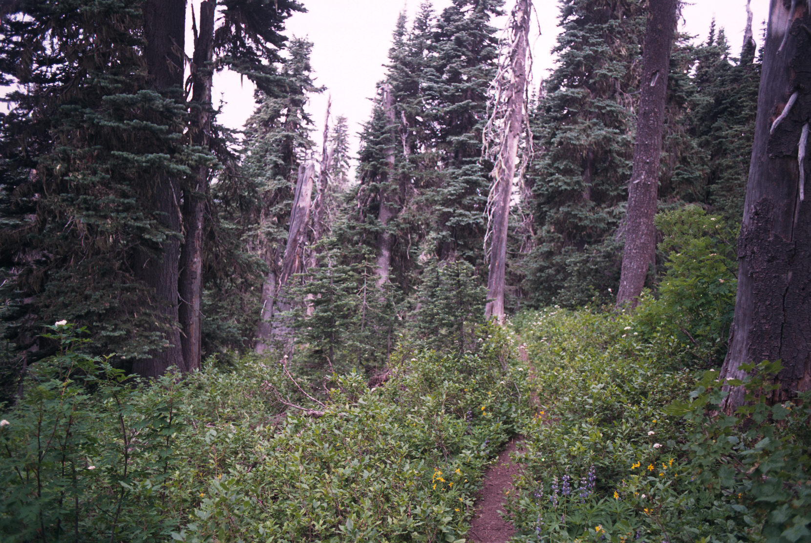
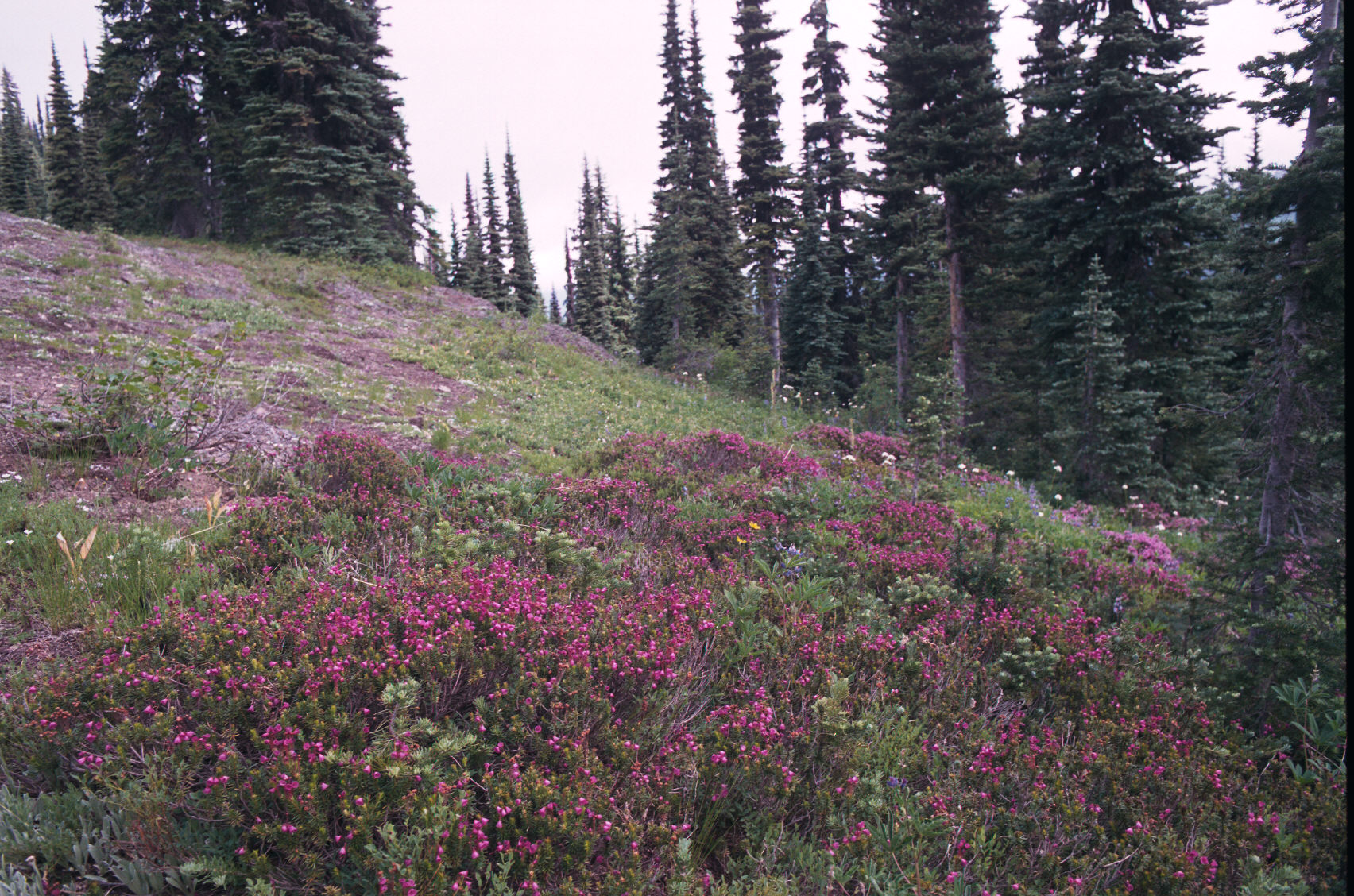
You can tell that this part of the trail doesn't see many people.
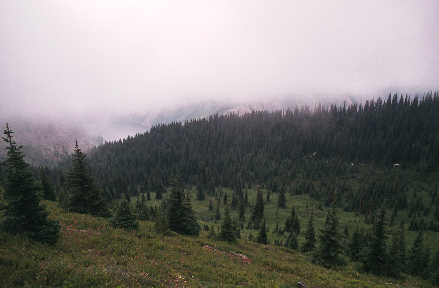
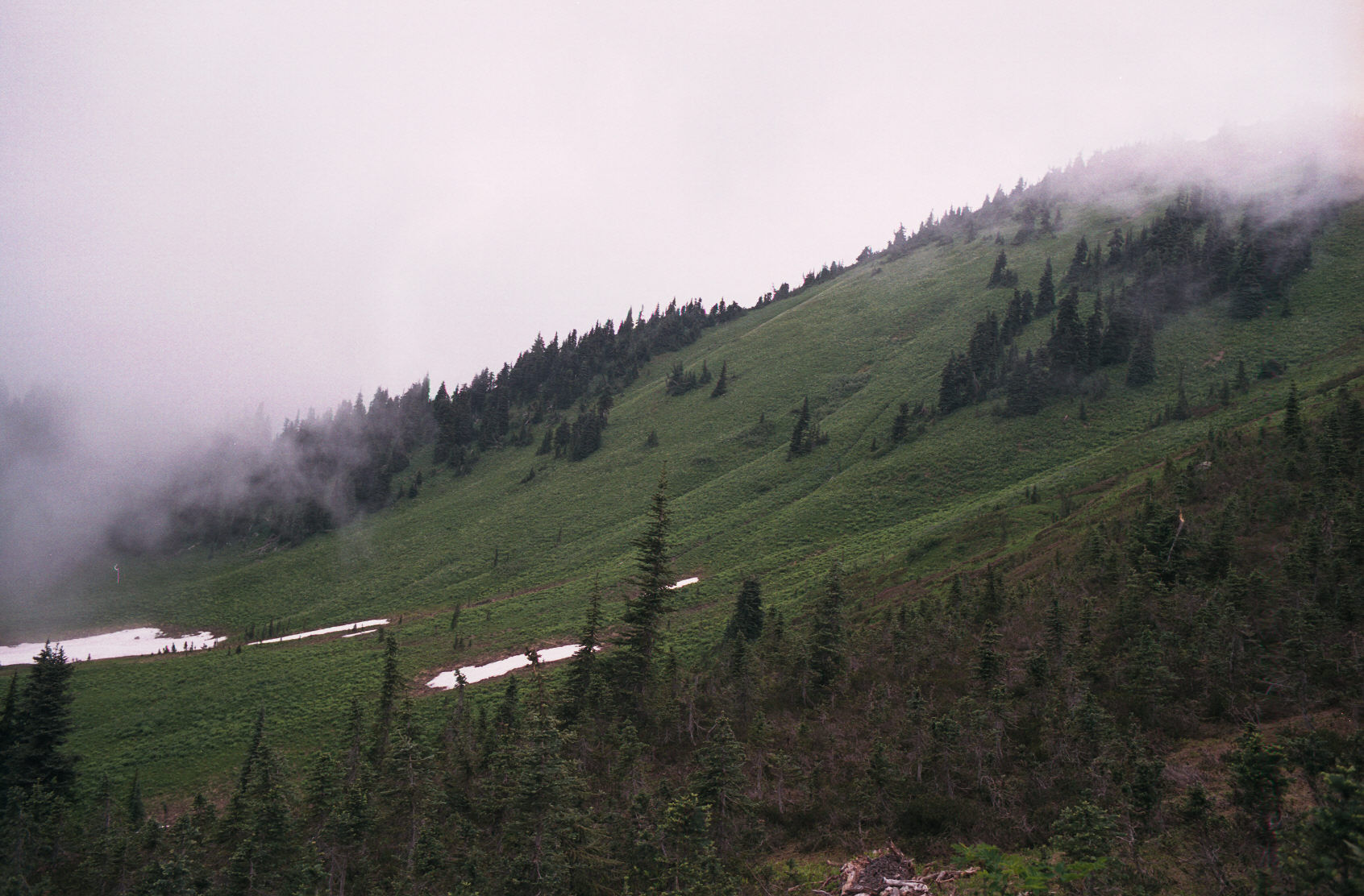
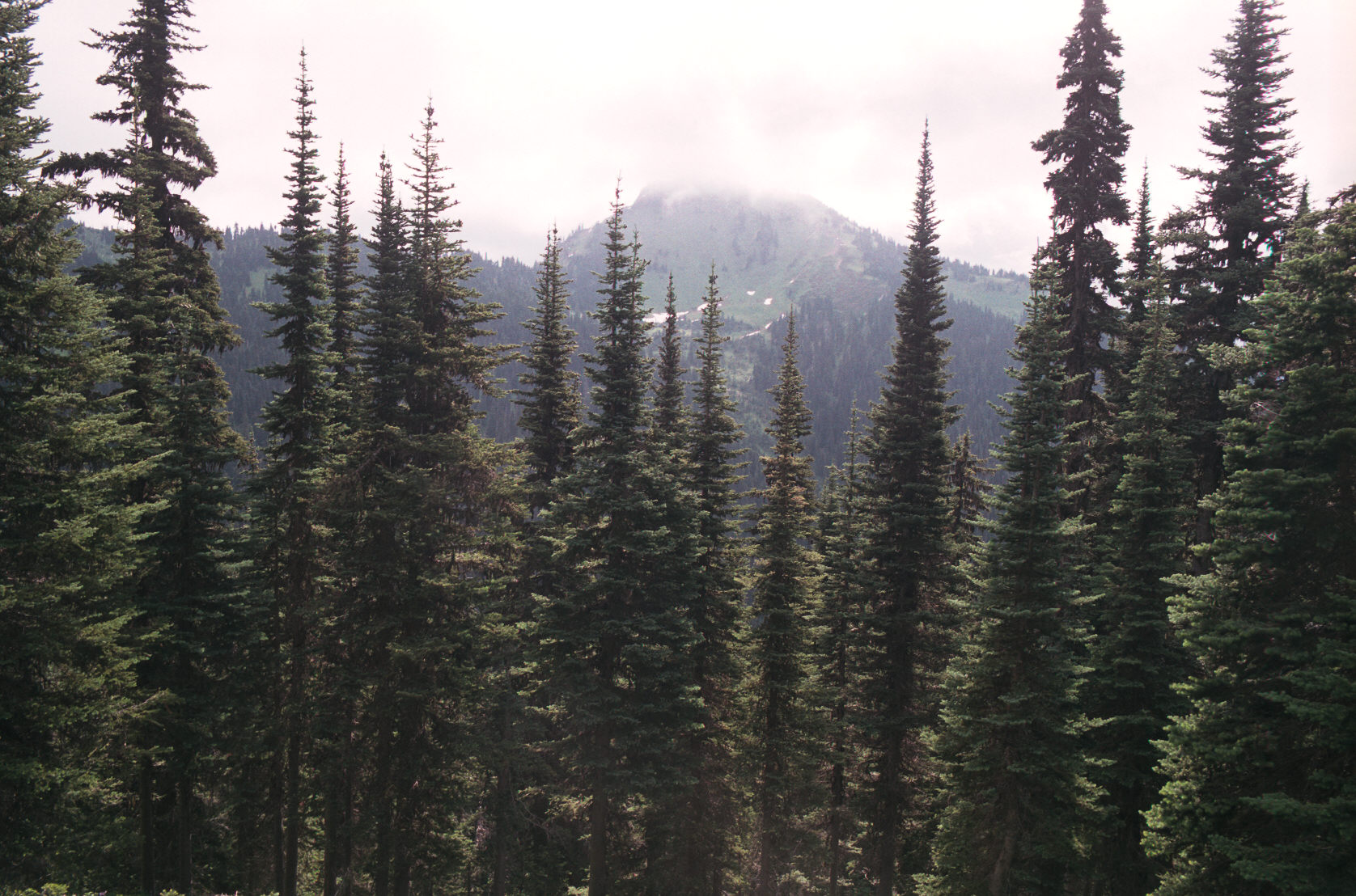
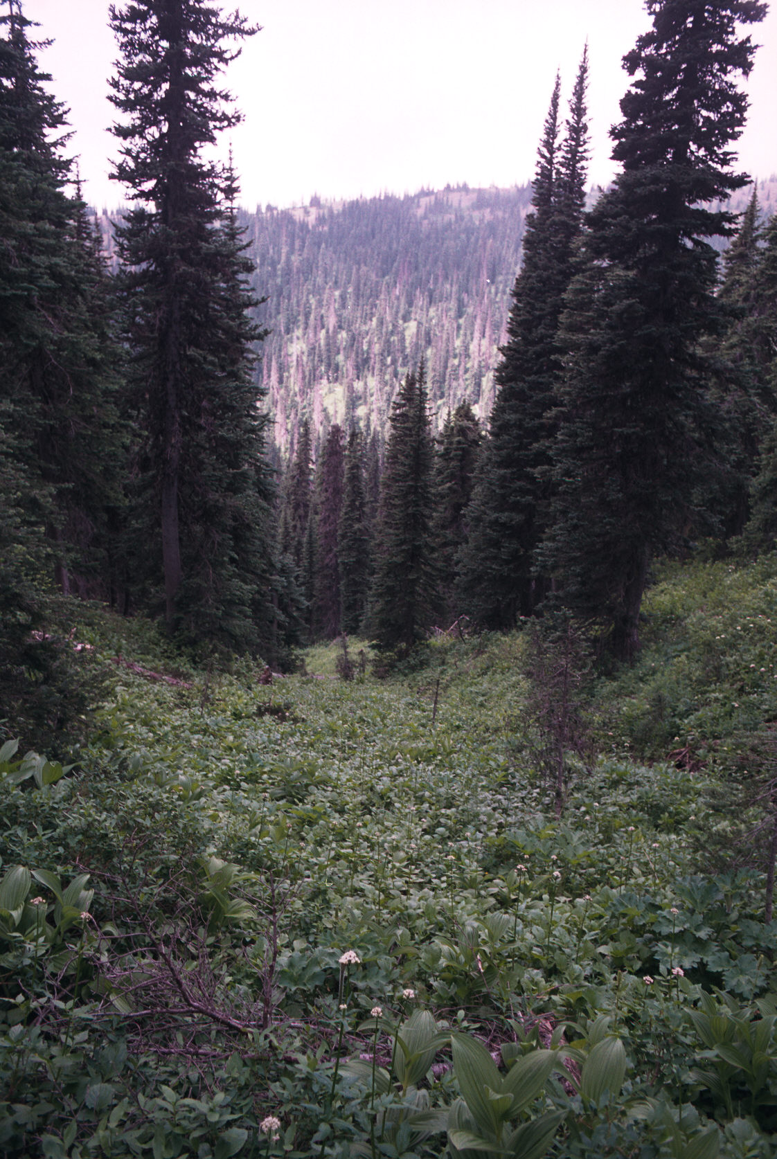
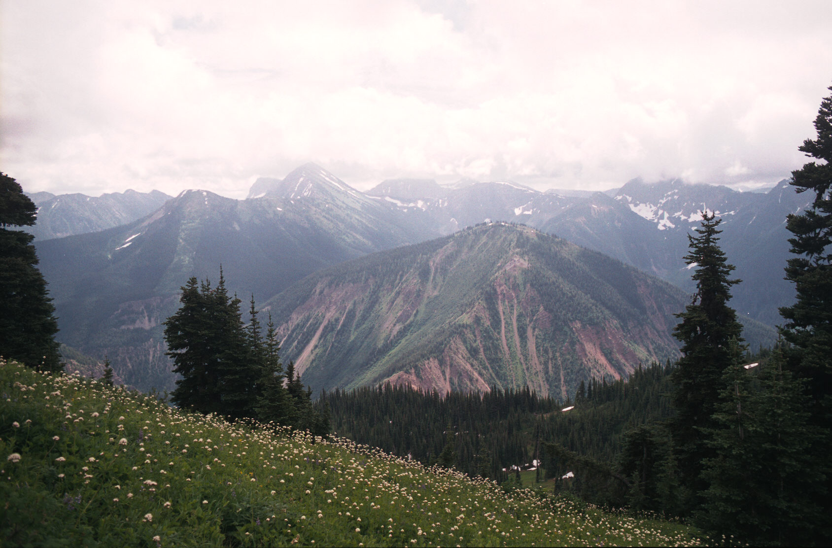
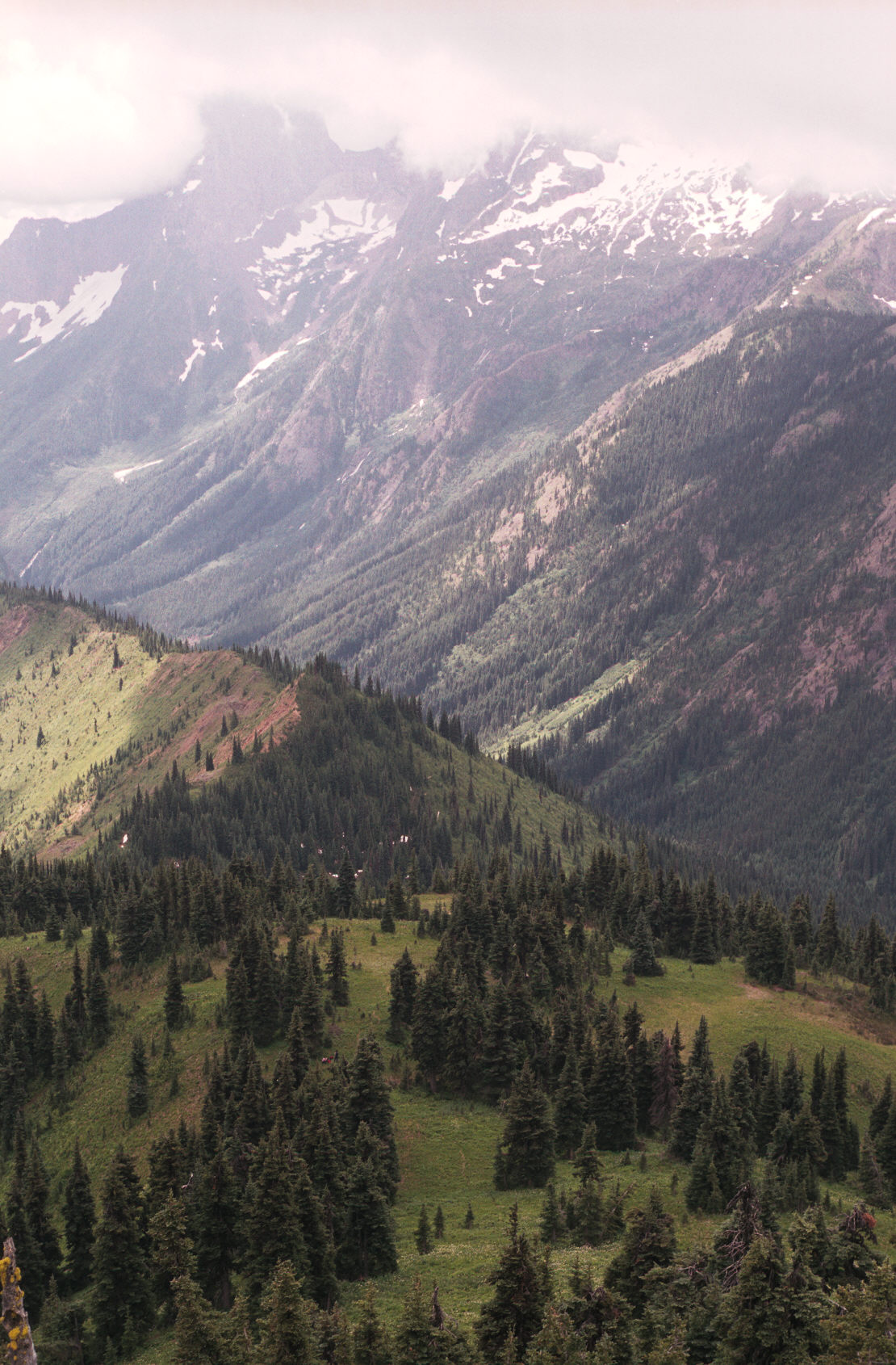
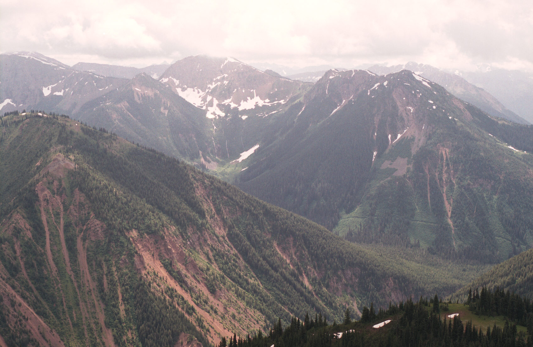
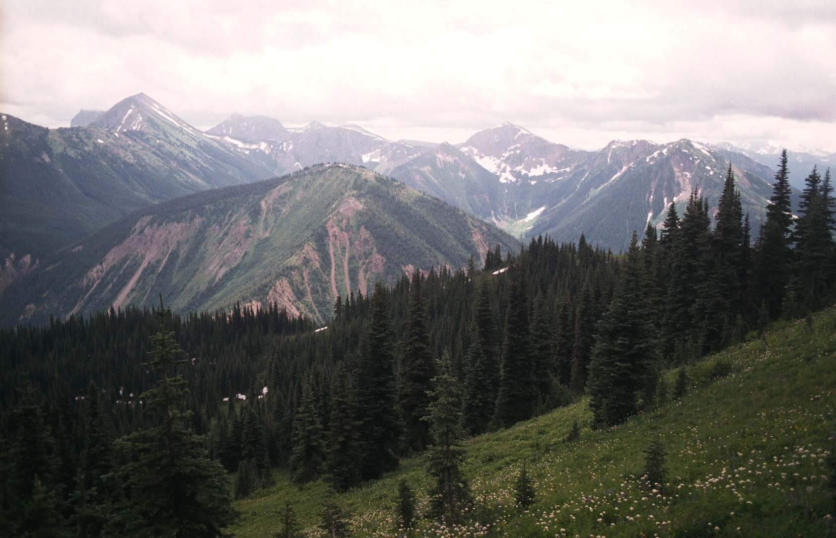
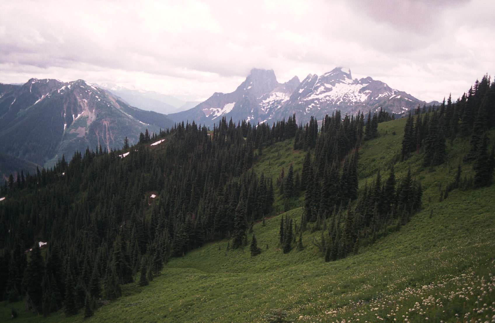
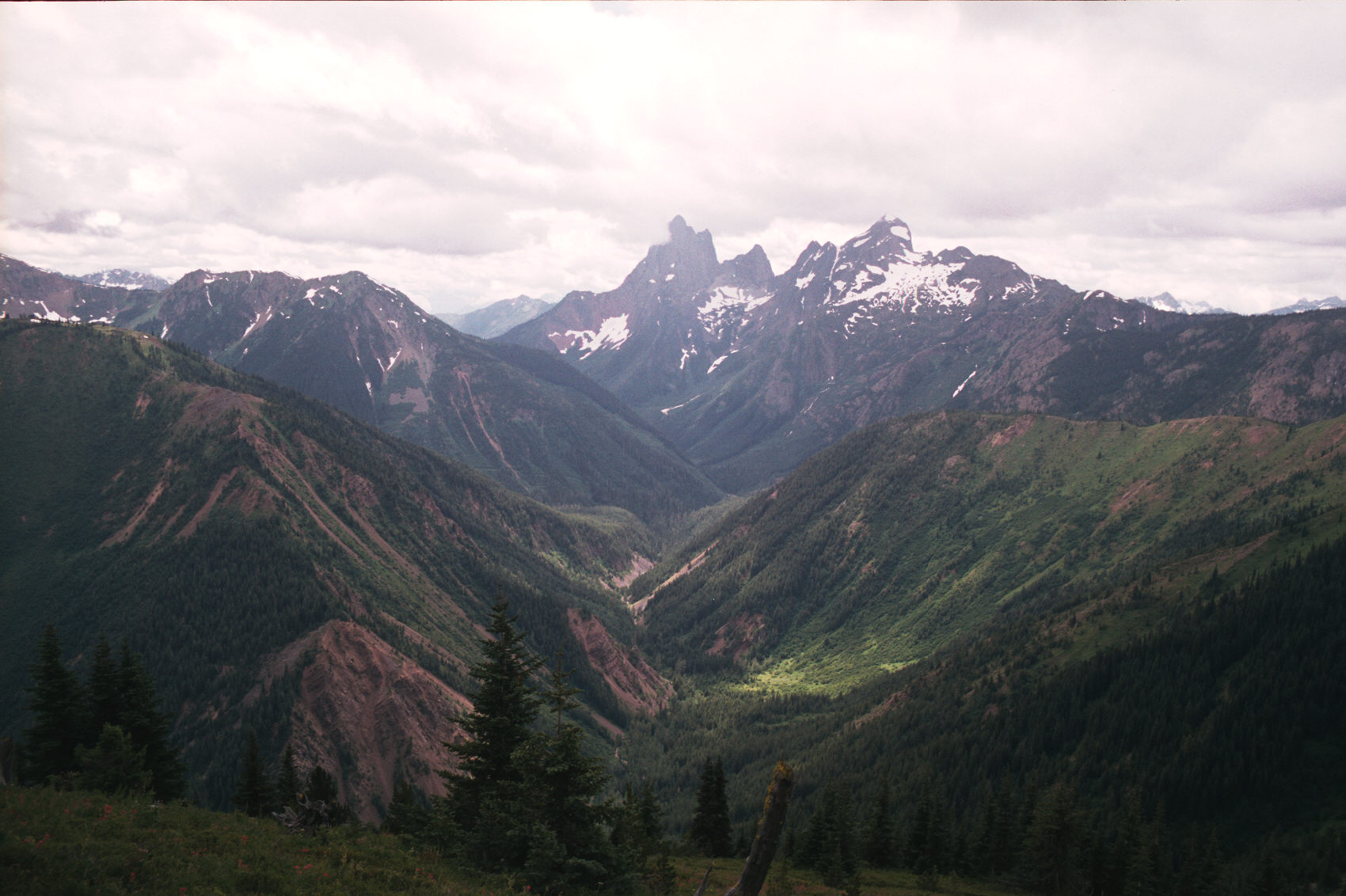
The next few pictures were taken over an hour - whenever I had a clearing of the cloud.
10:30am I am now at the Ozeem trail intersection, still hazy, waited 20 min. for some lifting of the cloud. No luck.
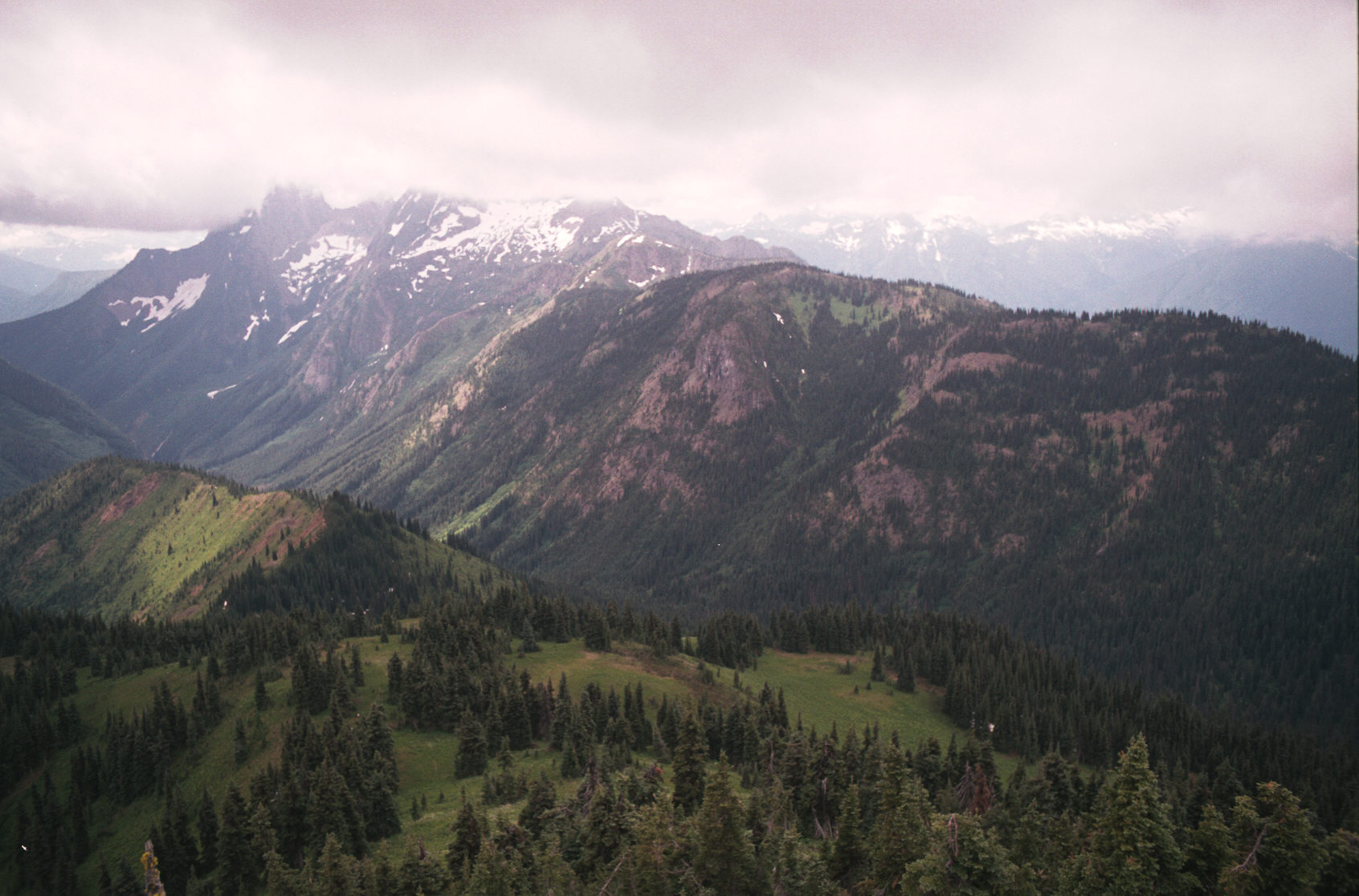
11:03am I'm back at the Cabin, 2 pictures, some clearing
11:40am I met a large group of women and took a food break, some cloud is finally clearing.
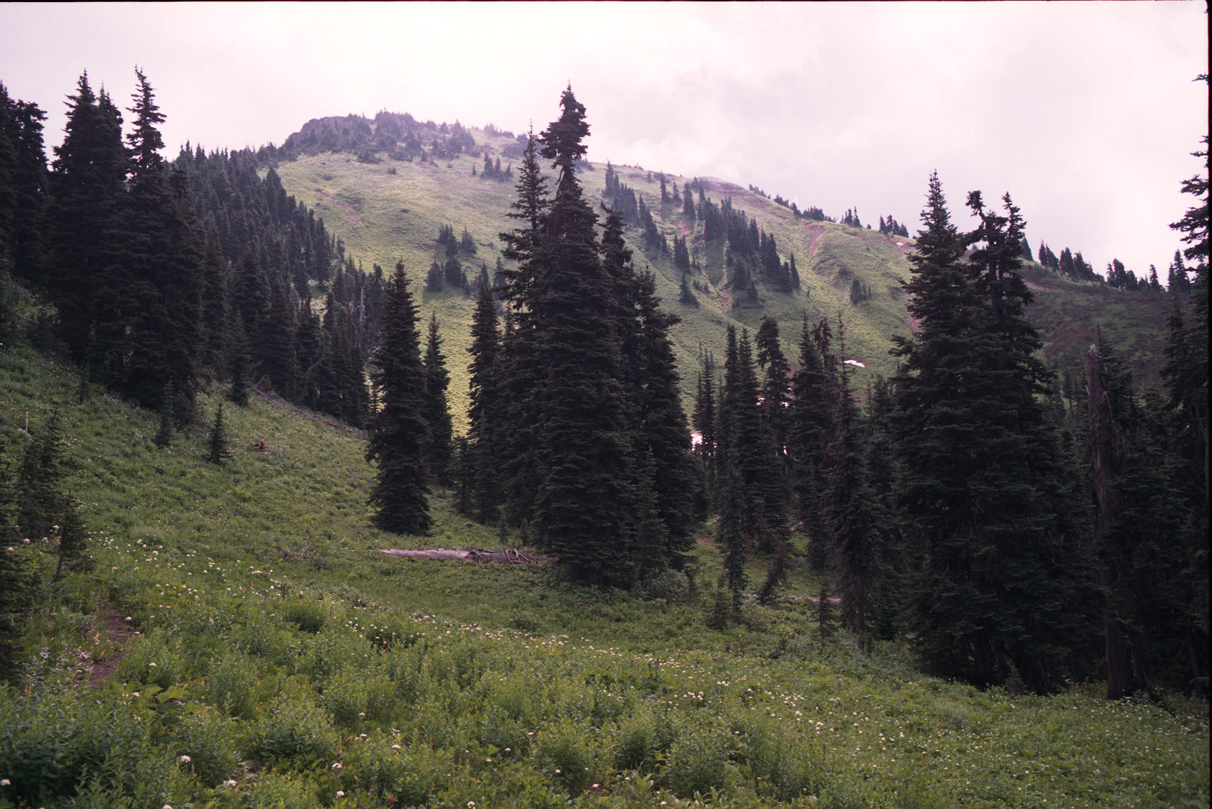
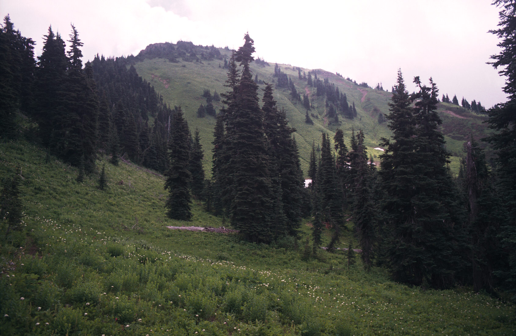
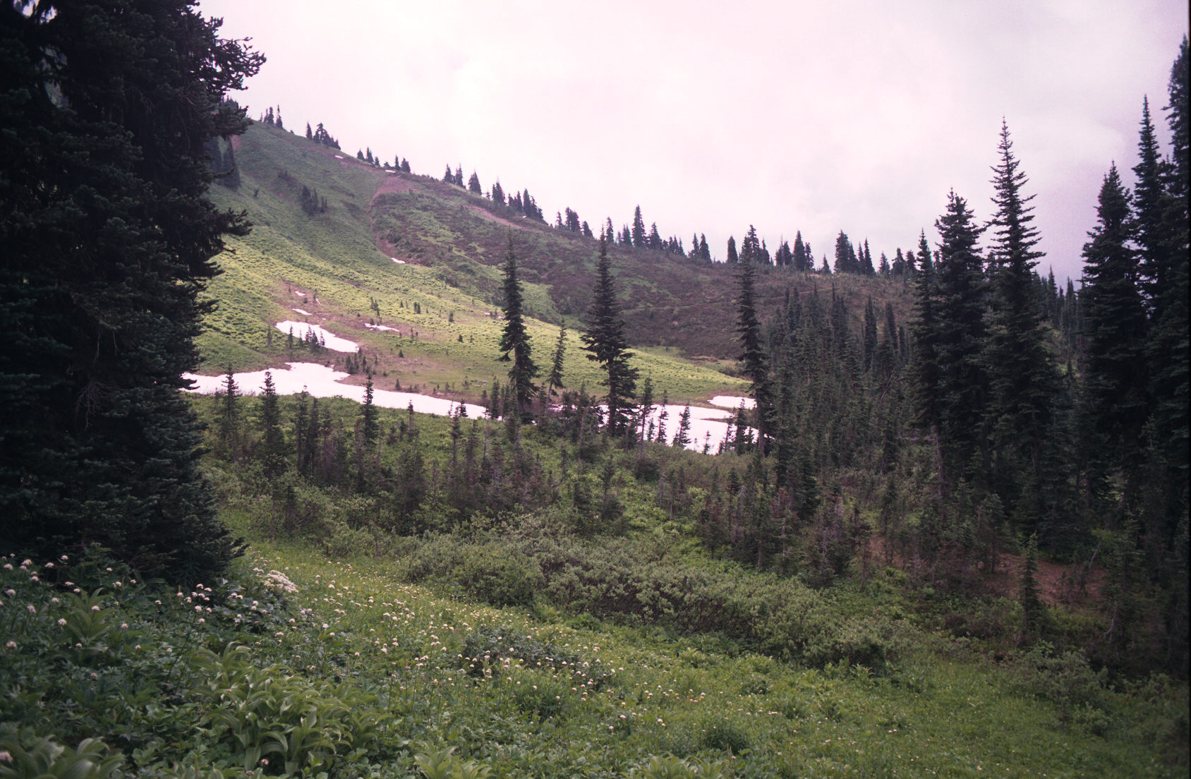
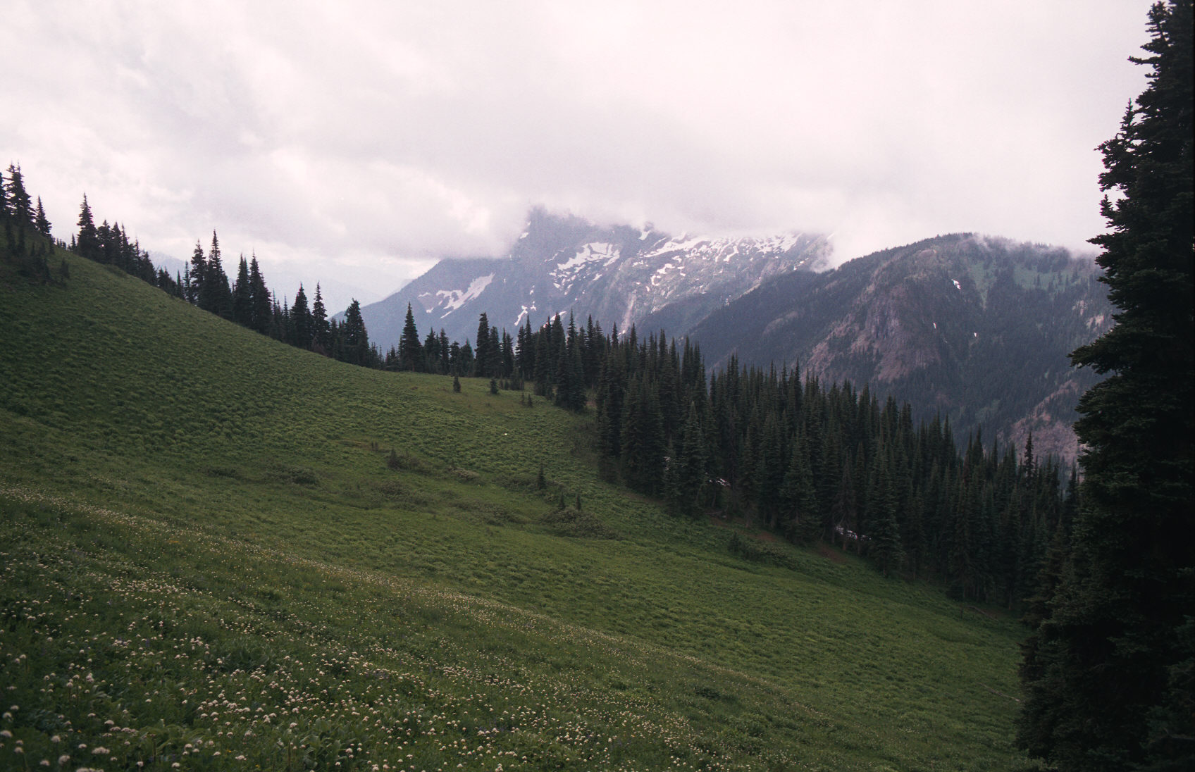
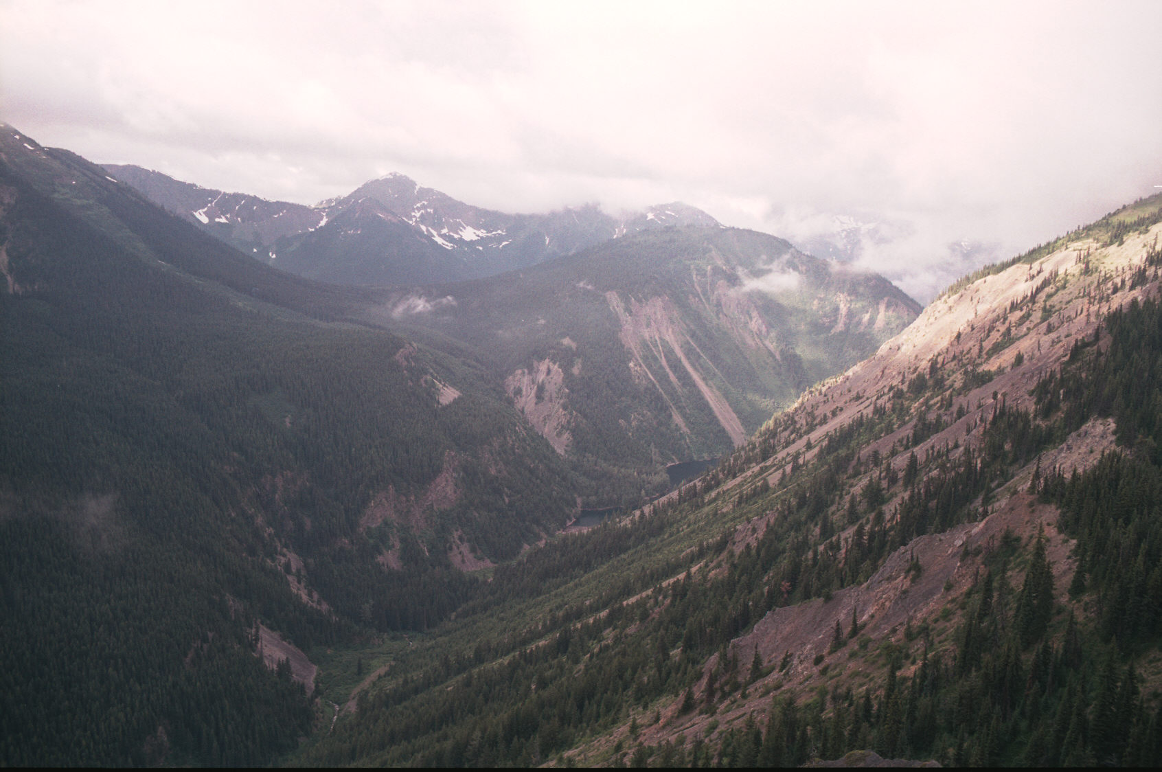
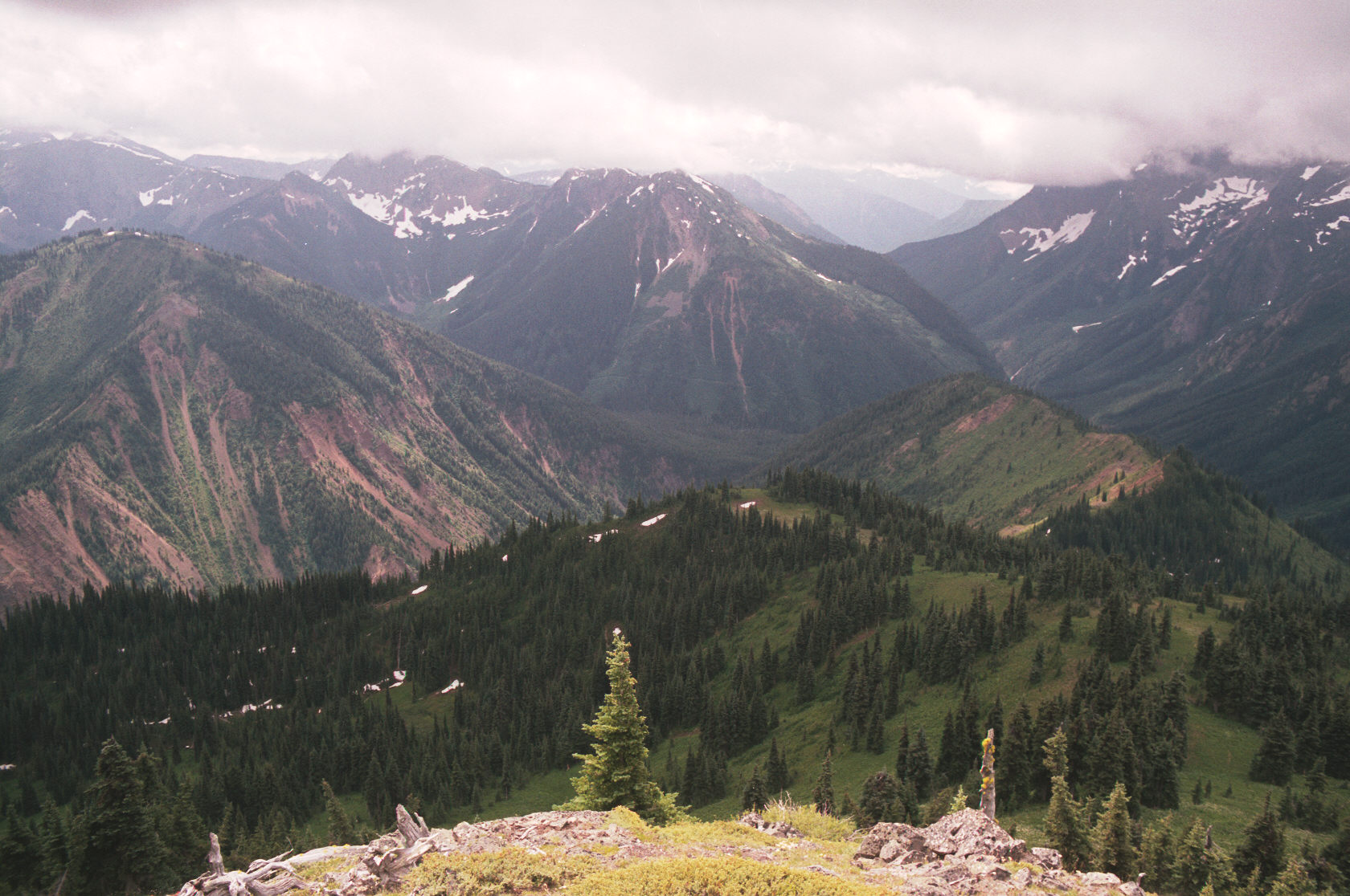
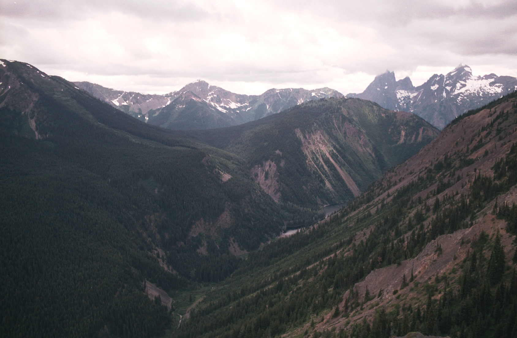
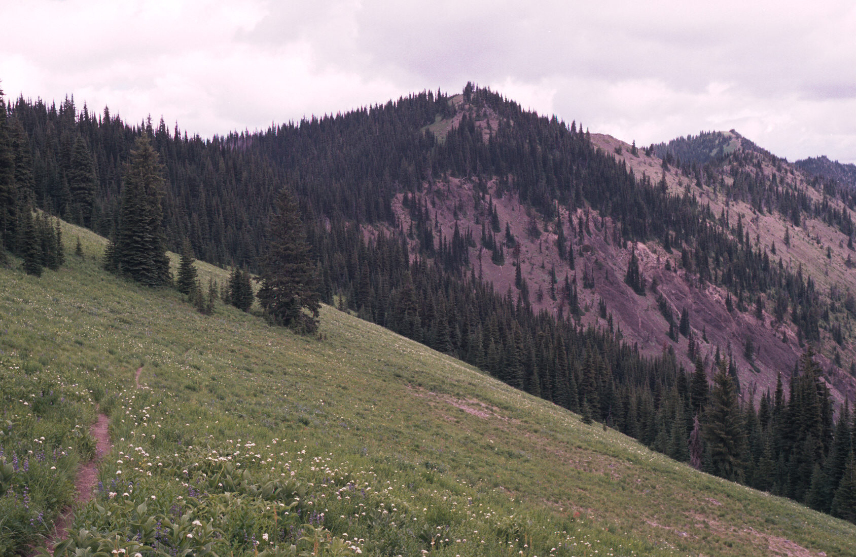
11:56pm I climbed a knoll most of the way up Lone Goat Mtn and took these pictures:
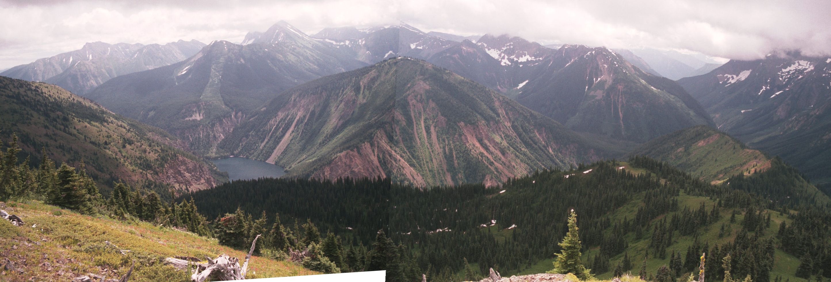


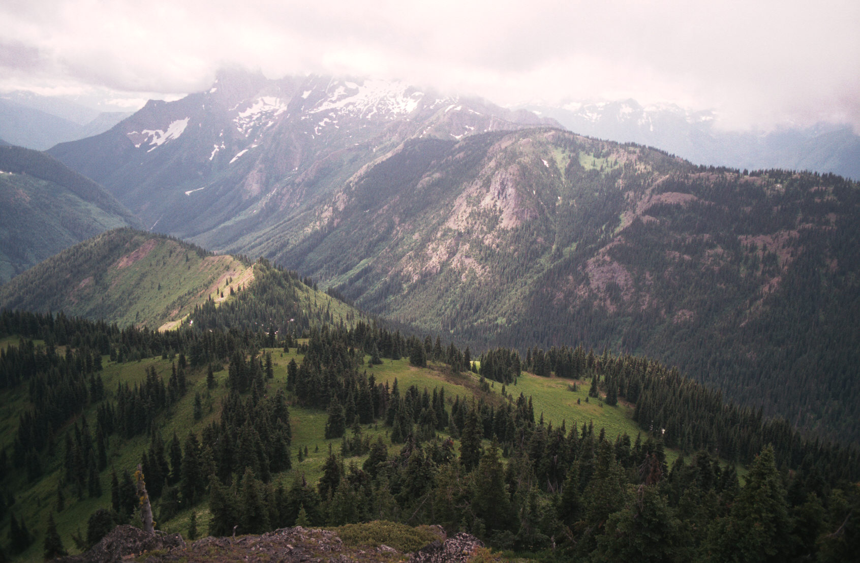
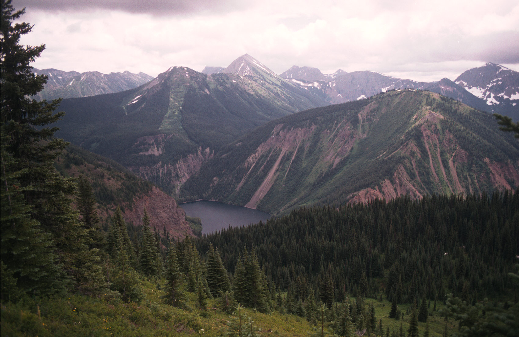
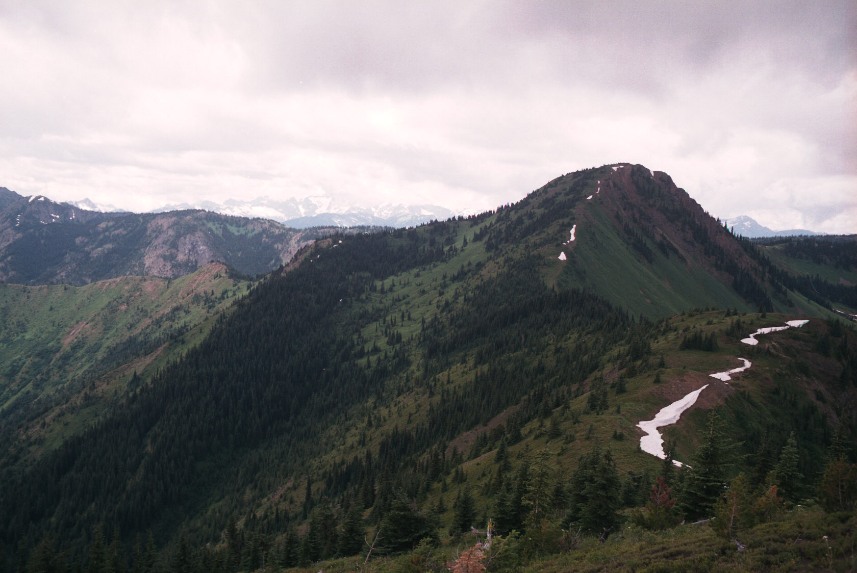
The green carpeted peaks on the right are a bit steeper on the back side. The
trail continues to the left of them; giving you a nice view of the valley in the
center of the image.
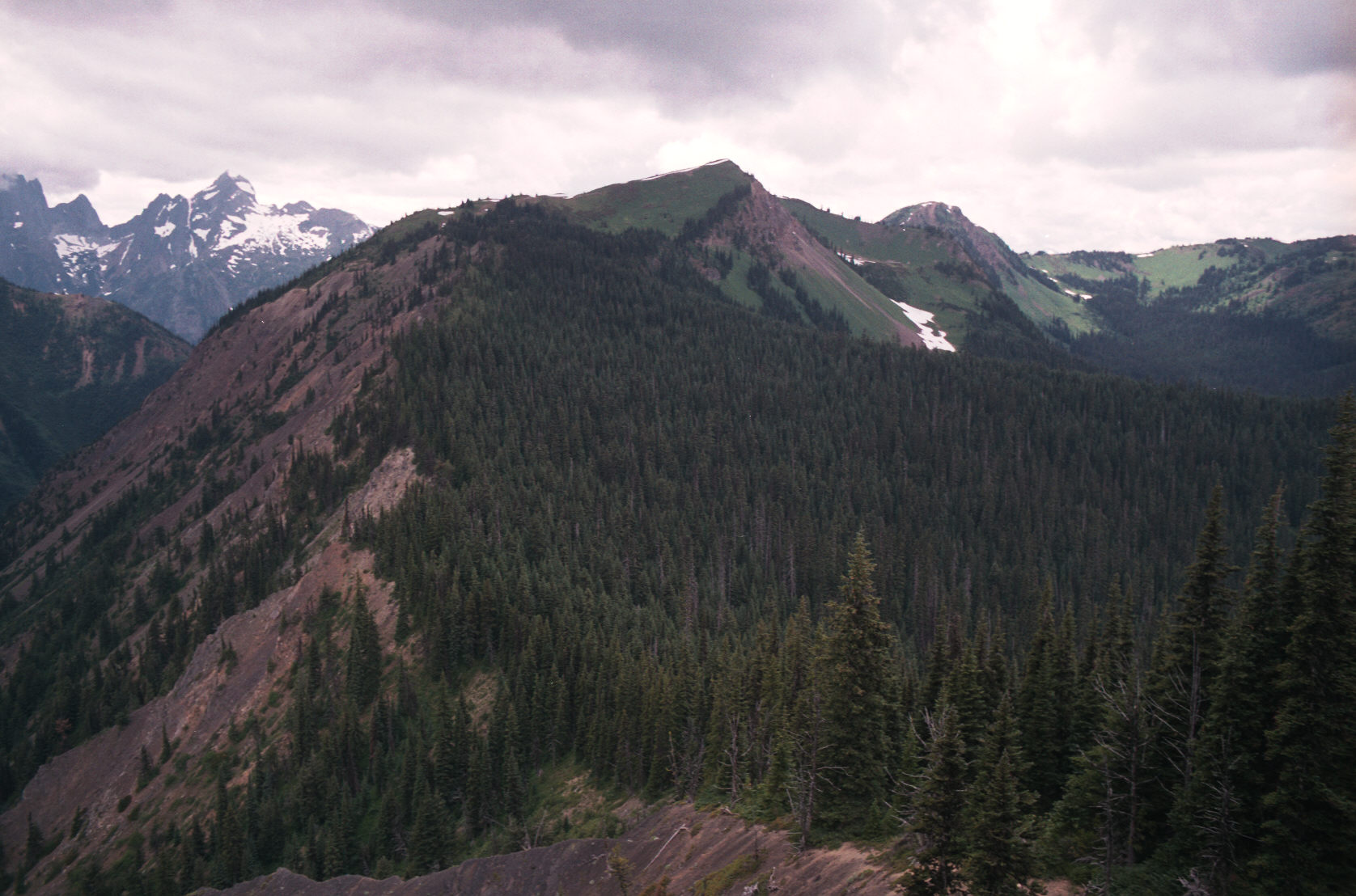
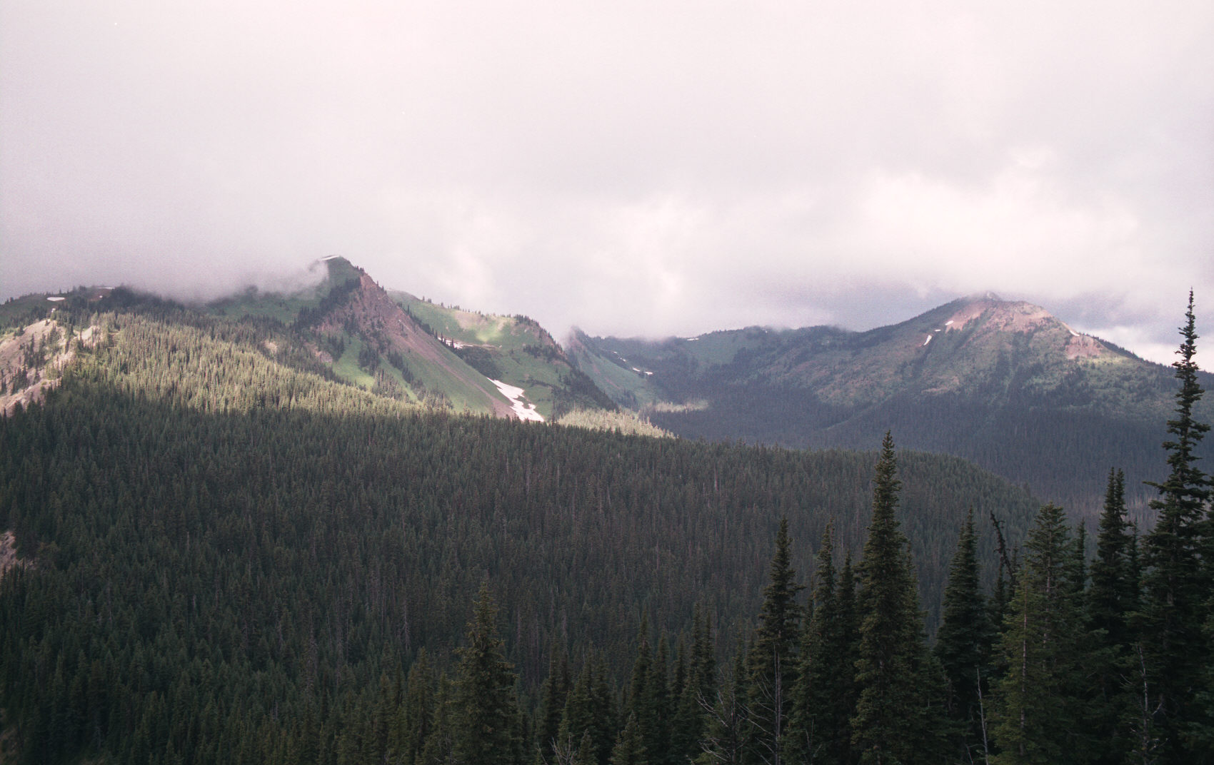
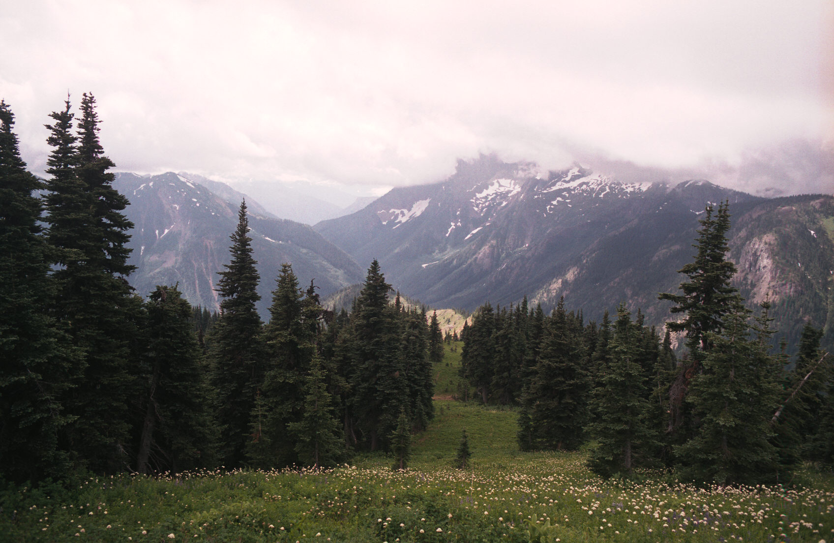
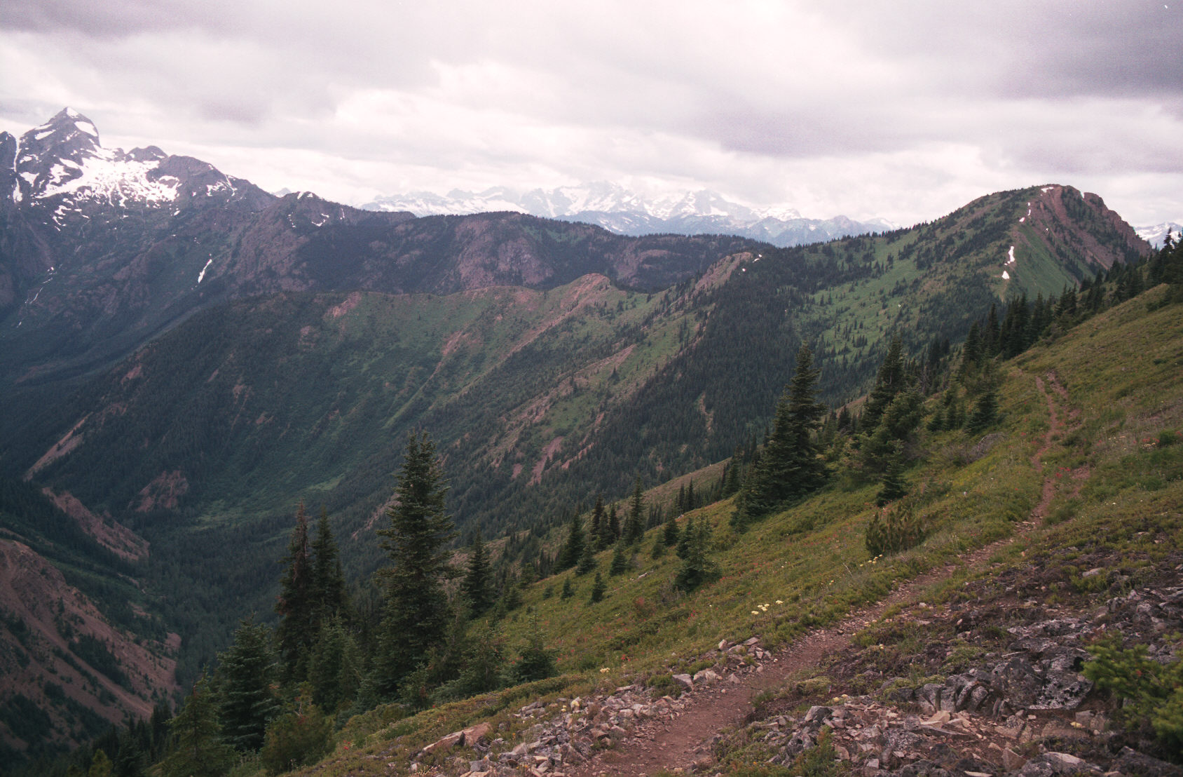
2:05pm Here is a nice view point very near the junction of Skyline #1 and 2.
At this point I've follwed the Skyline 1 trail about 15 min from it's intersection
with Skyline #2. Here the trail goes thru a nice meadow; and you can see the peaks/ridge
which the trail follows.
3:48pm I'm done.