Glacier National Park (BC) Vacation Pictures
This is an excellent park with plenty of hikes from short and steep to
long'ish and steep!
The glacier used to come right down the hill and be a 20 min. walk from the
train station but now it is a strenous 2+ hour hike. Here is a view of the
glacier as seen from the highway. At the rate that it is receeding it is not
expected to be visable in 15 years!
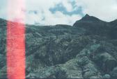
There is a hiking trail that comes out below the tongue of the glacier and
then it takes more than an hour to climb over the smoothed & gouged rock to
get to the glacier.
This first picture is a view of the glacier from the highway. At the bottom
of the hill is the Glacier NP campground. The Asulkan valley hike is hidden
behind the one peak (to the left of the glacier on the right).
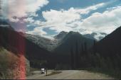
Climbing up the "great" glacier trail you can turn around and look back to the Rogers Pass visitor center:
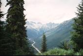
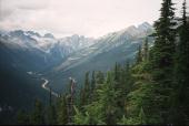
At the end of the hike the glacier is barely visable and the only way to get
a good view is to do the long climb up the rock. The hiking is slow as the terrain is uneven.
This is what you will see if you look to the left of the glacier:
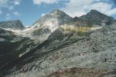
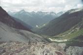
Turning around to look down the hill you will see:
Back to my home page