Mt. Arrowsmith Vancouver Island (BC, Canada) Vacation Pictures
There are many hiking trails up this mountain. Access to the main trail is
thru a logging road (about 45 min. drive going up hill) or you can hike up
from the bottom (I have no clue where the trail head is).
The trailhead is part way up the main logging road and is totally unmarked.
It can be identified by a hard left turn with a smaller trail going up towards
the forest/peaks (ie a narrow 4x4 trail).
The hike is short and steep and not well marked. There are many trails and
of the 2 times I went up and down I took 3 different trails!!!
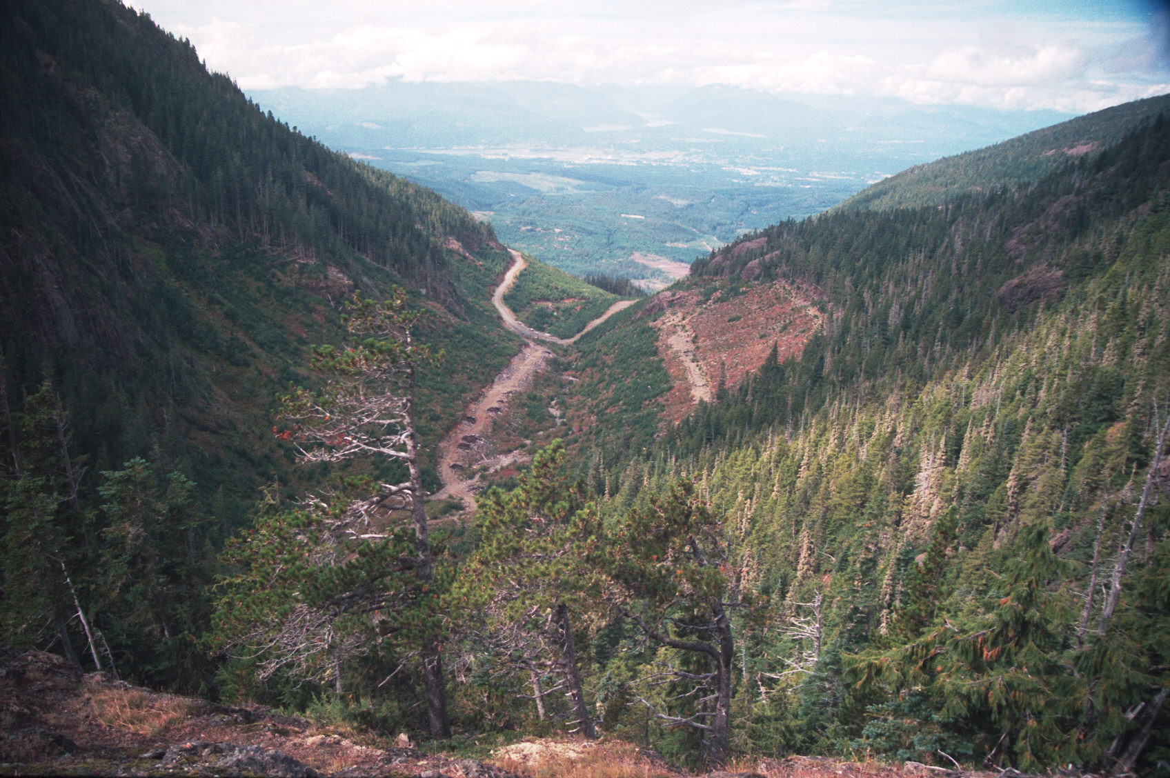
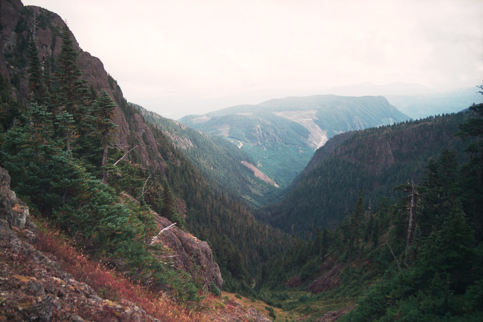
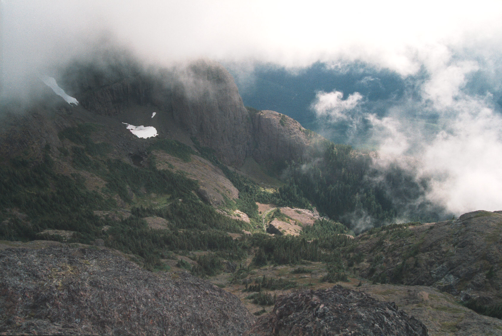
Here is a view looking back at the start of the trail. The logging road is
just visable in the distance with the 4x4 trail coming part way up the hill.
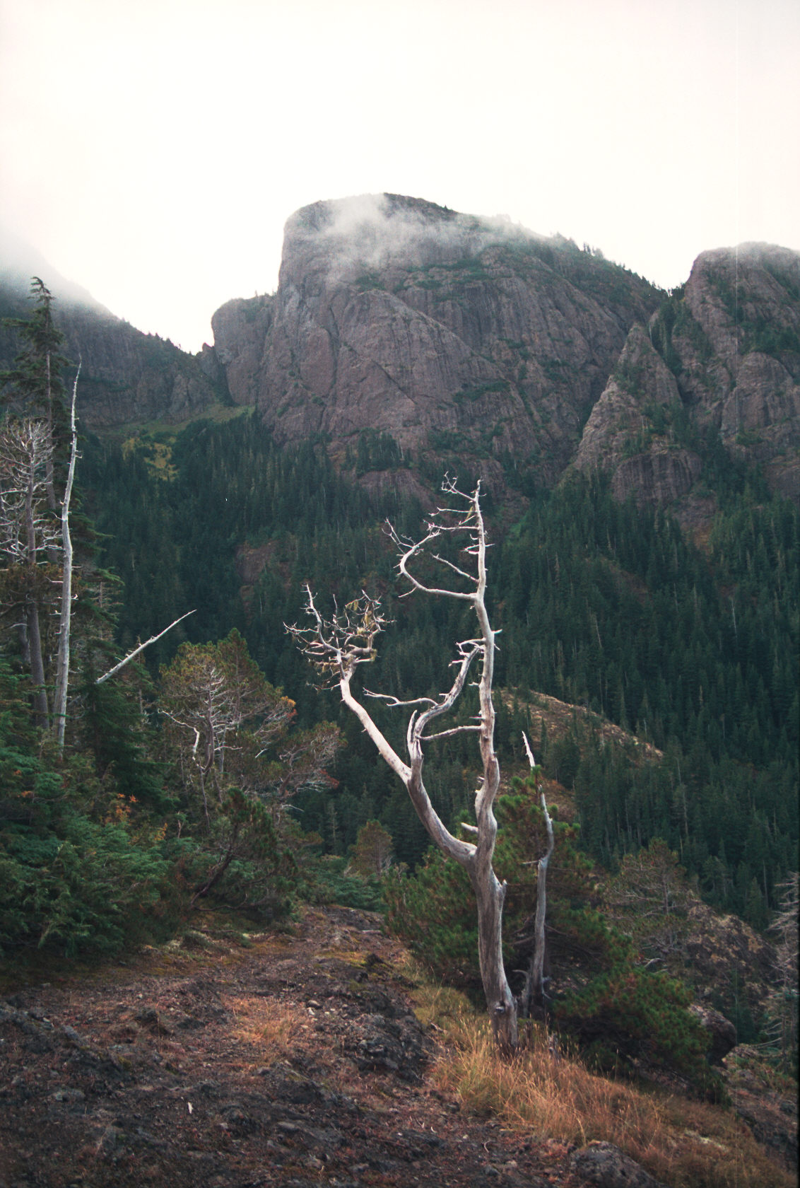
From that point here is a view of the peak
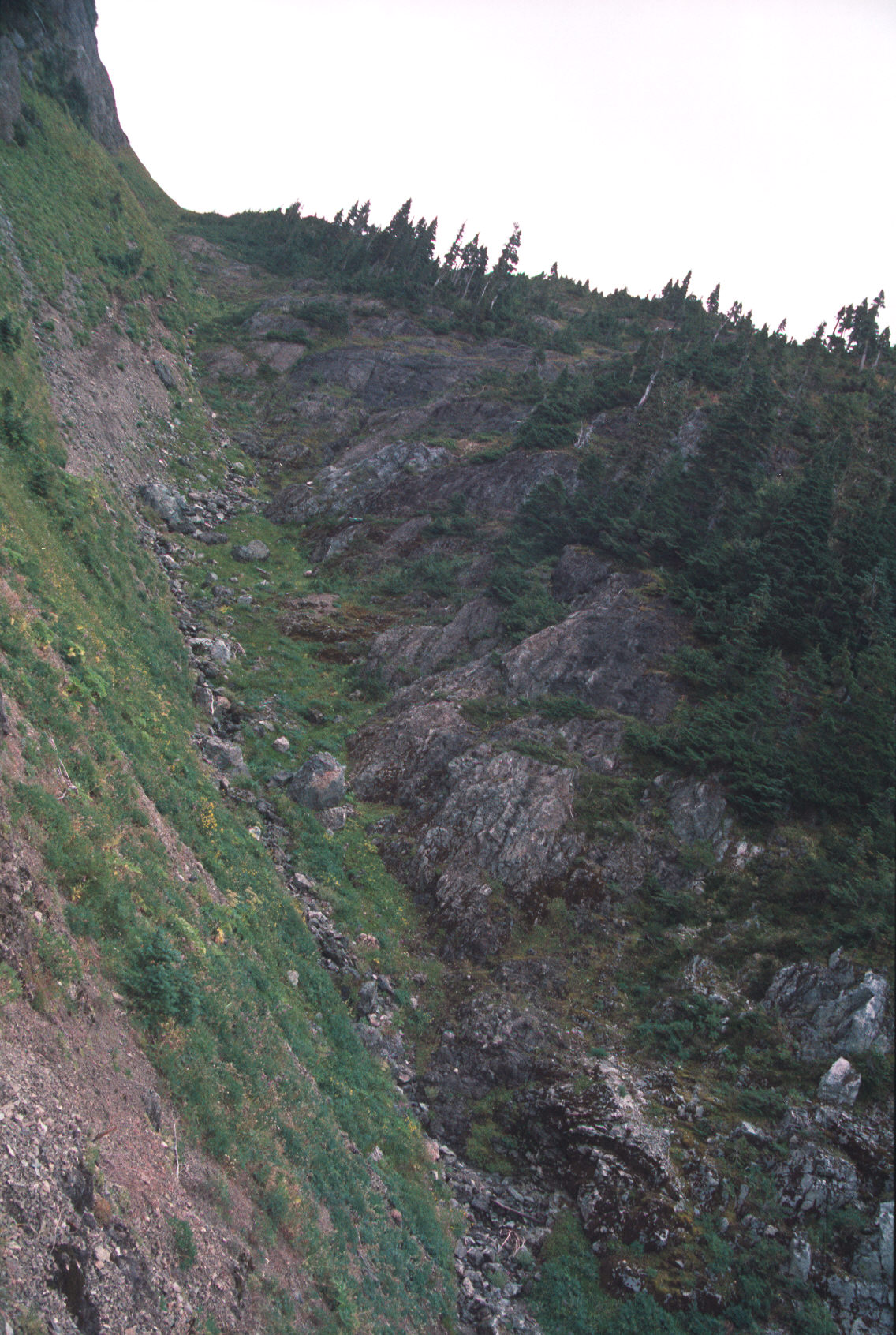
The last part of the climb upto the crotch between the peaks is this little
run-off stream.
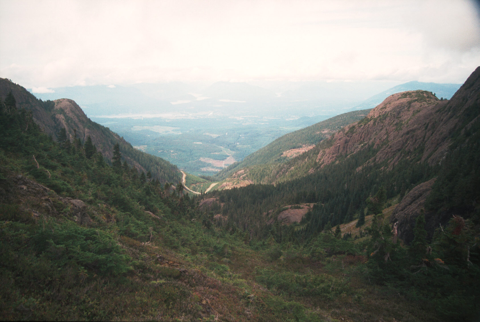
Looking back down from this higher places gives:
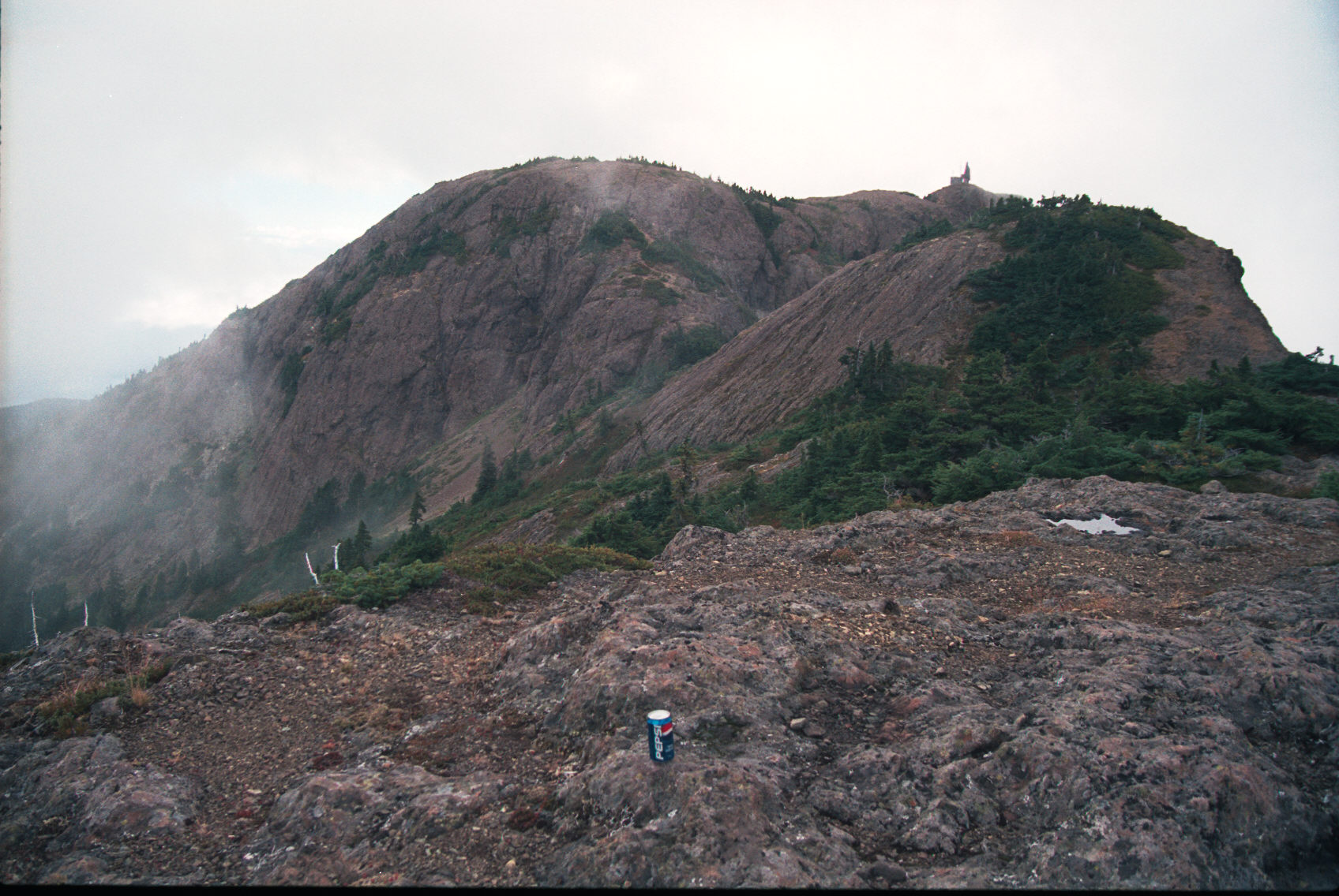
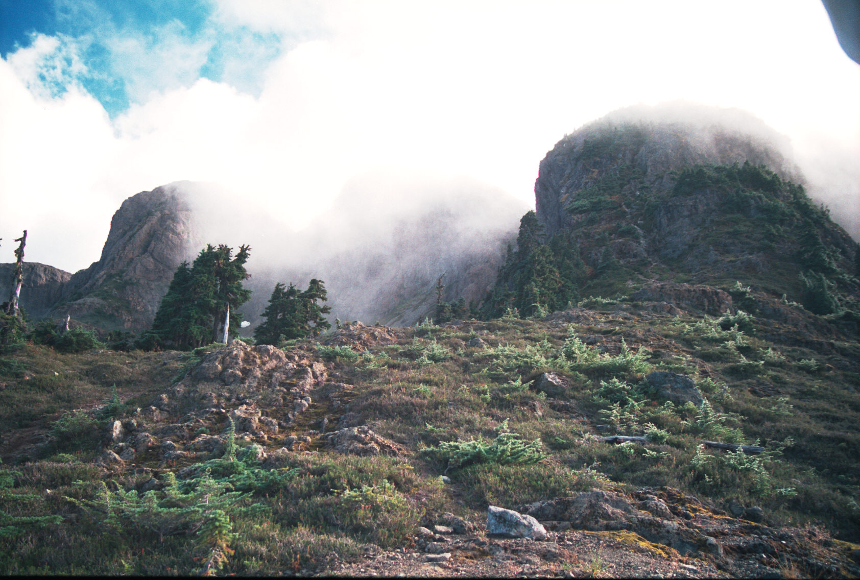
At this point I've made it to the crotch of the peaks. There are peaks
on the west and east to climb; both another 20 min. or so of climbing up
rock.
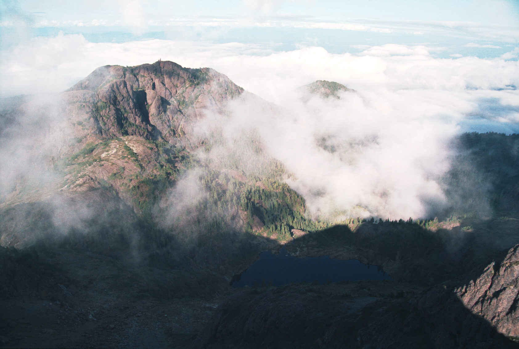
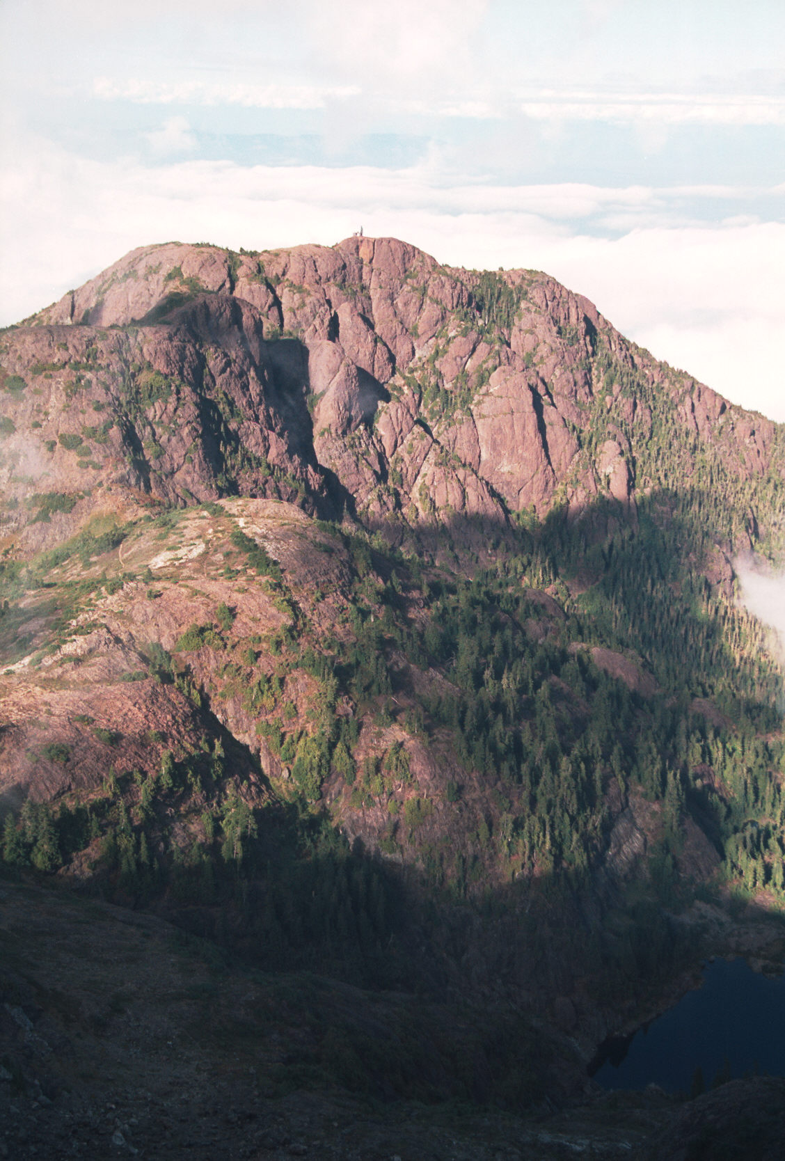
I made it upto the east peaks and the fog finally cleared a bit.
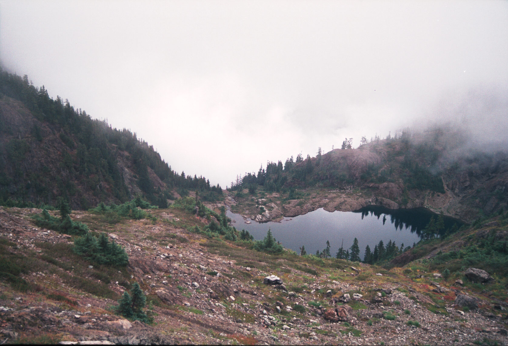
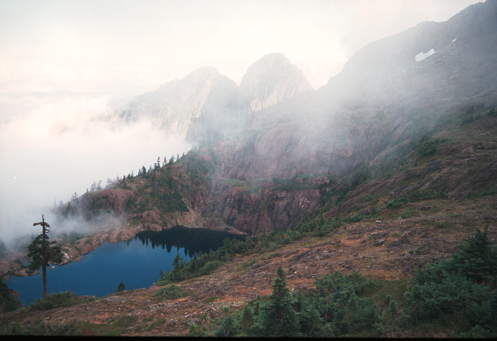
The fog thickened again and I could barely see so I climbed the western
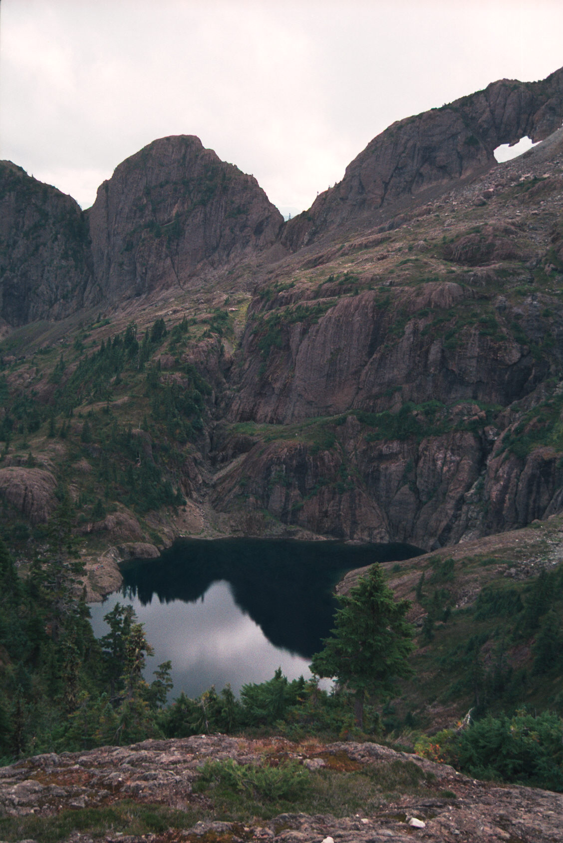
peaks. Here you can see the beautiful lake that is up between the peaks.
They plan to dam and flood this lake and use it as a resevour.
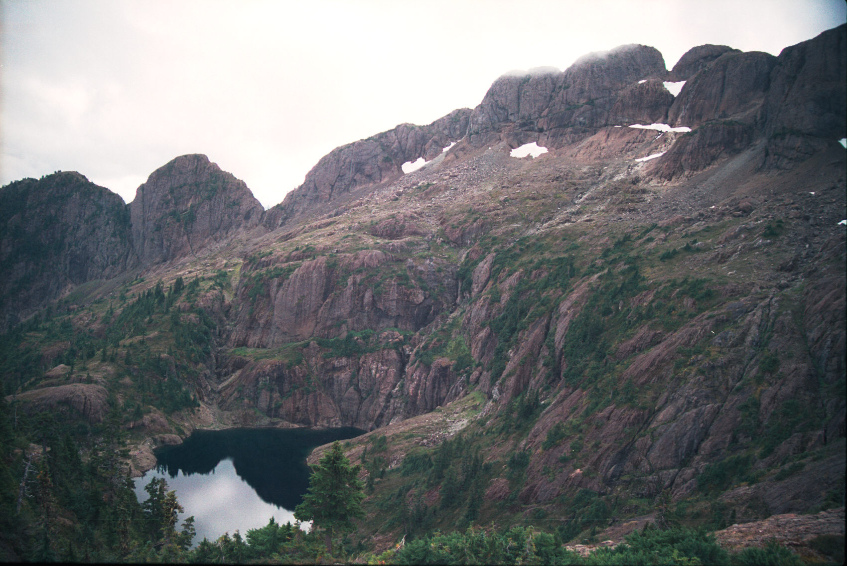
Finally here is the row of western peaks. You can easily spend a day
climbing from peak to peak up here!
Back to my home page