BC High Country area (BC) Vacation Pictures
This is a lake in the Kamloops area.

Here is a view of the Fraser River on the highway just north of Lillooet. There
are many better views of the river; but it is hard to find places to stop
because the road is very narrow and there are no places to stop.

Here are views of the Fraser at places from Vancouver to Lillooet.

Town of Hope
They shot the Slyvester Stalone movie Rambo - First Blood here.

Here are some pictures from along the Fraser river valley


This is the Fraser River Valley. If you look closly you'll see train tracks
on both sides of the river and the highway on the eastern (left) side.

This is the Fraser River just south of Lillooet.

This is the Thompson river. Notice that it is not muddy like the Fraser. At this point in the trip I've turned
off of the Trans-Canada highway and I'm head to Lillooet.


Duffy Lake Road
The following map is from a web site about the same cycling trip I did.

At this point I turn west and take Duffy Lake Road to Whistler and Vancouver. The bridge had been burnt down and I was able to continue because a smaller bridge could take bicycles. Lillooet is right in the valley by the river and it had a good grocery story. But from here; all roads west have to climb the mountains. Duffy Lake Road was an old logging road that was paved in early in the 1990's. By 1999 it was a heavily used road by tourists; in particular those blasted RVs. It was a nice quiet 80 km road of nothing but you and the wilderness and since then it has become increasinly developed and clogged with pollution spewing monster vans.
Here is some info about Duffy Lake Road from locals.
It was first paved in 1985 for the Vancouver exposition in 1986. In the 60's
the road was refered to as 2 feed of mud covered by 3 feet of snow and it
was astonishing when a VW Beatle make it thru in the late 1960's. Bears
have been spotted in the area.


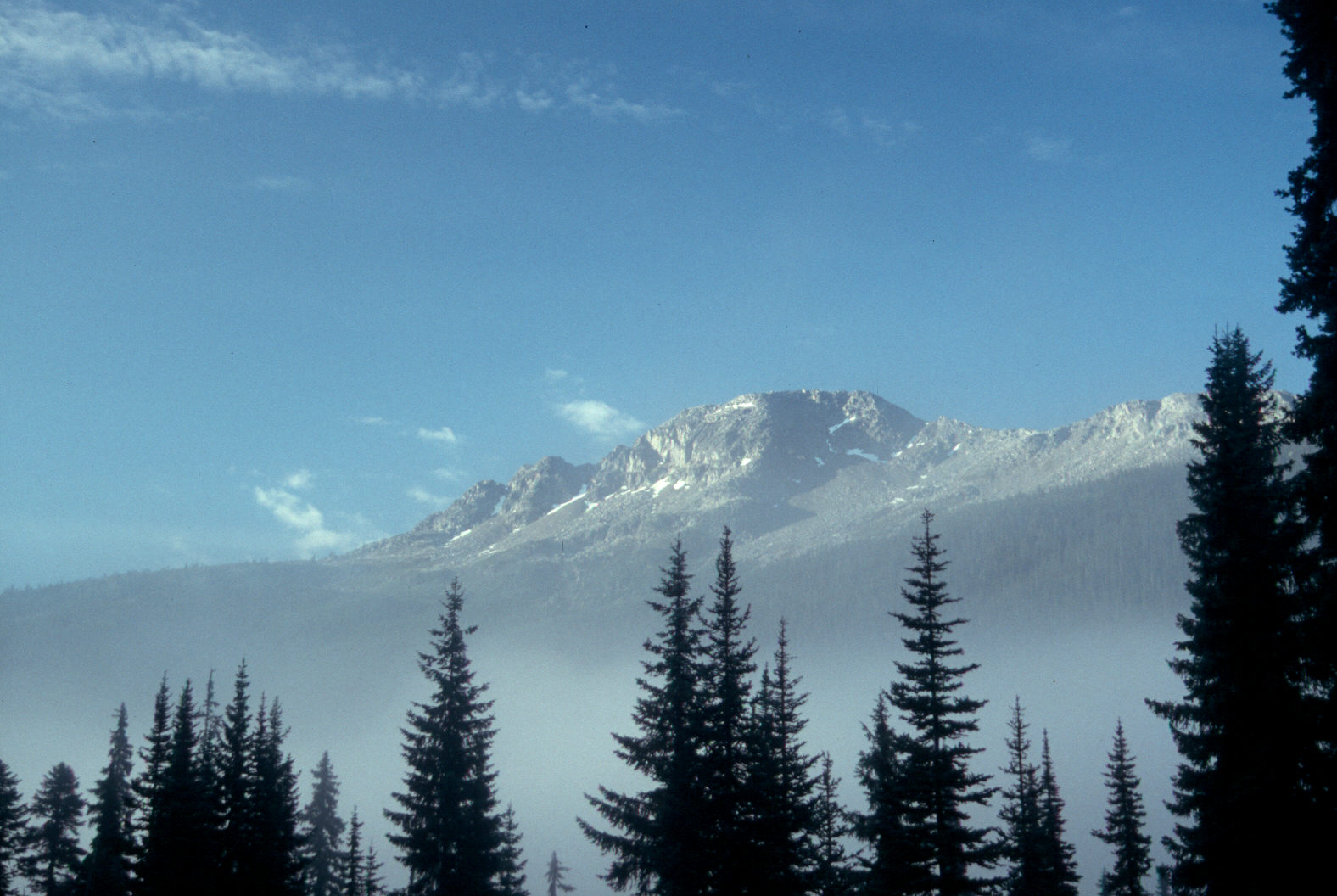
This is Duffy Lake and a river along Duffy Lake road and a view towards the
costal mountains in the early morning.


Back to my home page