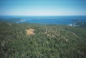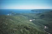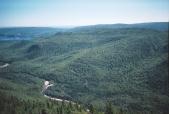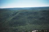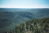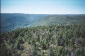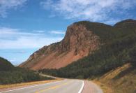
These pictures start at the Cheticamp entrance and work across the park
to the Ingonish side.
I find the cycling to be steeper than any of the parts of the Alps or the Rockies that I have cycled in. There
are no switch backs here although the hills are not very high. In the Alps the highest hill took us 4 hours
(Gros Glockner) and that was without camping gear like a tent / sleeping bag!
I was warned at the gate that the water was undrinkable, even if boiled so I carried enough water for the 2 days that it would take to cycle this loop. The trip was not as enjoyable as I would have liked. I only had my running shoes and on the first hike I blistered my feet very deep within the skin. As a result it was painfull to hike any significent distance.
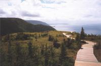
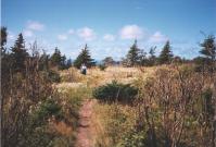
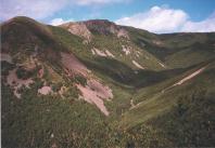
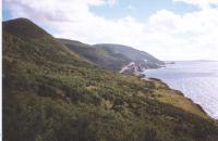
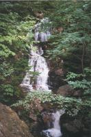
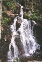
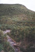
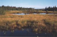
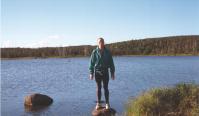
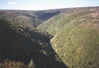
Anse Fishing Cove. There is a hike going down to the cove.
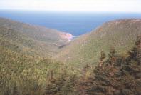
Clyburn valley and river:
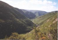
The following pictures are stitched to give one big picture:
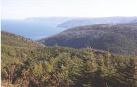
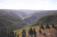
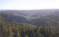
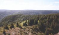
The view from Mt. MacKenzie:

MacIntosh Brook hike. This was a nice bush hike and the last part of the trail was closed.
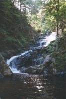
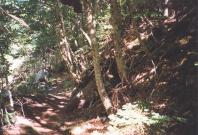
North Mountain descent. This was a nice steady downhill run on a bicycle!
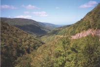
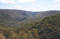
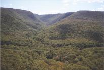
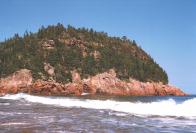
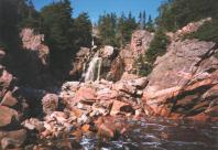
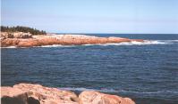
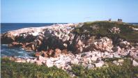
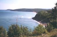
12:55pm - I started the hike. It's up a steep, slippery gravel road.
1:43pm - I'm at the top of the tower. The tower ladder was partially removed and
the door lock was broken. The view from the top of the tower is quite nice. I took
a 4-wide shot.
2:44pm - All done and back down the hill. I returned clockwise on a 4x4 gravel road.
It was a nice even slope going down.
Here is the view from the tower on top of the Mt. Franey. The six pictures can be
stitched together to make the wide picture.
NOTE: Some time between 2000 and 2005 the tower was torn down and removed.
I also missed a short trail to a lookout view in a different direction.
