These pictures are from an August 2000 trip taken with 100 or 200ASA negative film.
This hike gives the best views of the coastal region. I'd consider it much better than the drive around the Cape Breton Highlands.
There are 2 ways to do this hike. I would suggest that you start at the entrance closer to Trout River.
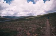
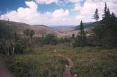
Hiking that way you will start by hiking over rocky ground with some shrubs. Slowly the coast will appear.
It is about 14 km long and took us 5:30 with lots of stops for pictures. You will need food and water on this hike.
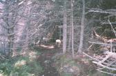
If you hike the other way, along Wallace Brook, you will see this:

Yes, some of the local people use this area to graze sheep.
