These pictures are from an August 2000 trip.
This hike starts by taking the boat to the end of Western Brook Pond. Then hiking up the gorge and
traversing the North Rim Mountains.
We had several problems with this. We should have done the trip the other way. Trying to navigate
down the mountain, back to the Shallow Bay Cove campsite, would have been very difficult.
As it was we backed out of this hike. At the end of the first day we had only managed an average of
1 km/h. Yes this did include the 3 hour climb to the plateau, but it also involved orienteering around
lakes and over ridges. The path was fairly clear and often there was a human or animal trail; however,
a bit of Tuck-bashing was necessary. We very quickly learned that such a thing was quite slow.
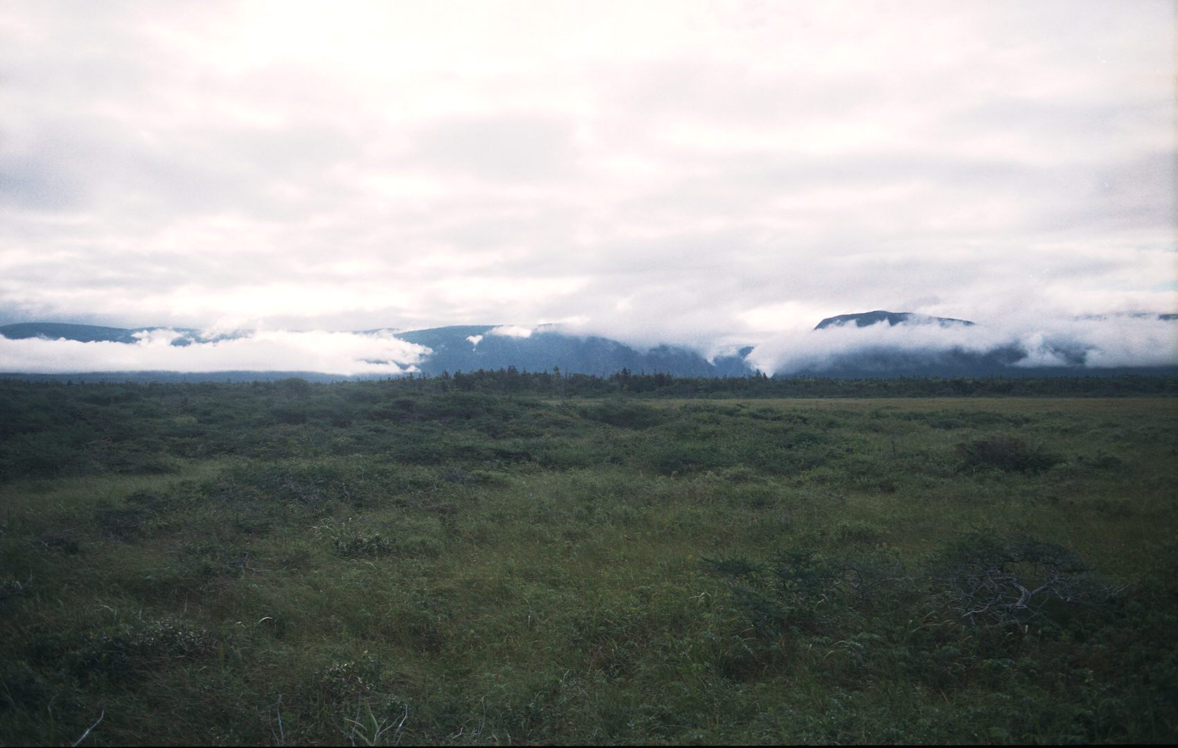
The terrain was marsh-like with low shrub (Tuck) that you had to navigate around. Towards supper on
the first day fog was moving in and visability was quite low at times. On the plateau we did not dare
leave the campsite unattended since we may not be able to find it again!! In heavy fog, even with one
person at the campsite, it would have been very hard to find your way back.
The next morning we ran into light fog and possible rain. We had expected a 2 day hike and prepared for
3 days of hiking, and then packed 4 days food. We quickly realized that the topo map had indicated not
much vegetation where we were and in a few more km the vegetation should become a lot thicker and the
navigation would be much harder.
As it was we made the right choice. We spent the day hiking thru rain and then quickly pitching a
tent. Very heavy rain followed and on-going showers. The boats were not running that day.
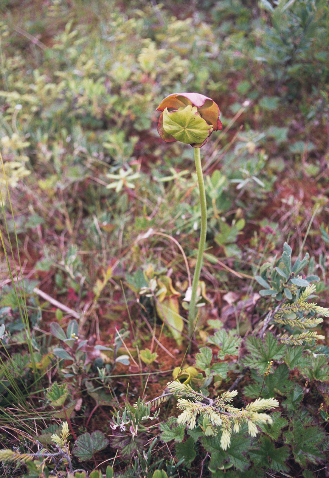
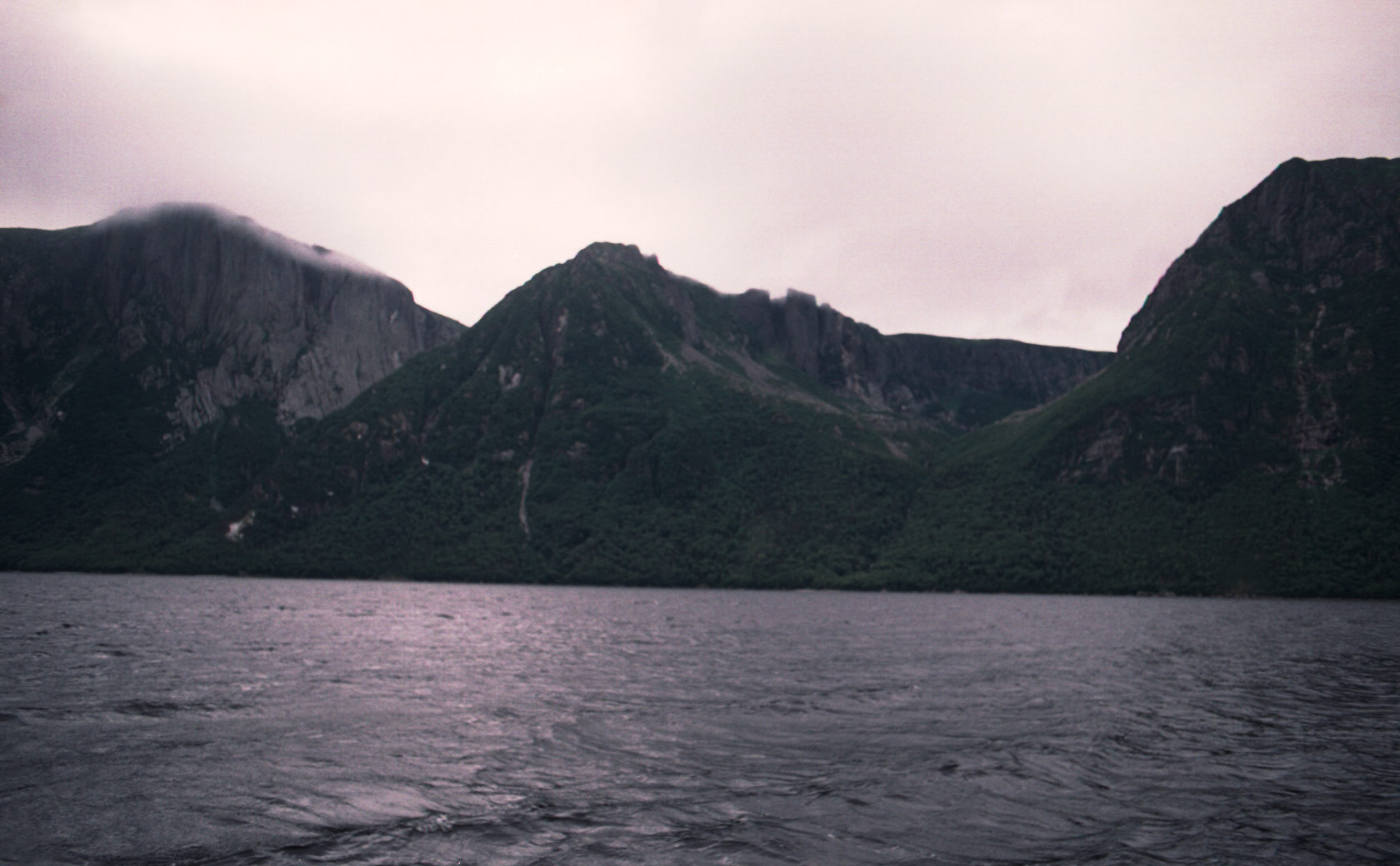
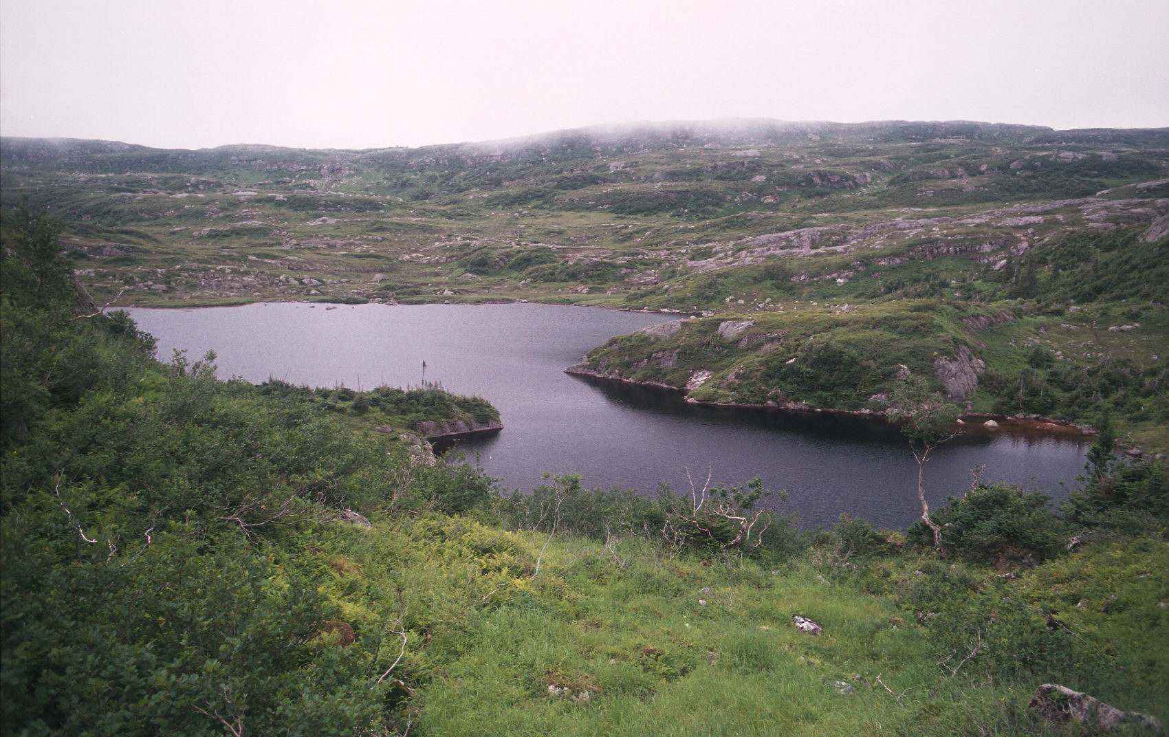
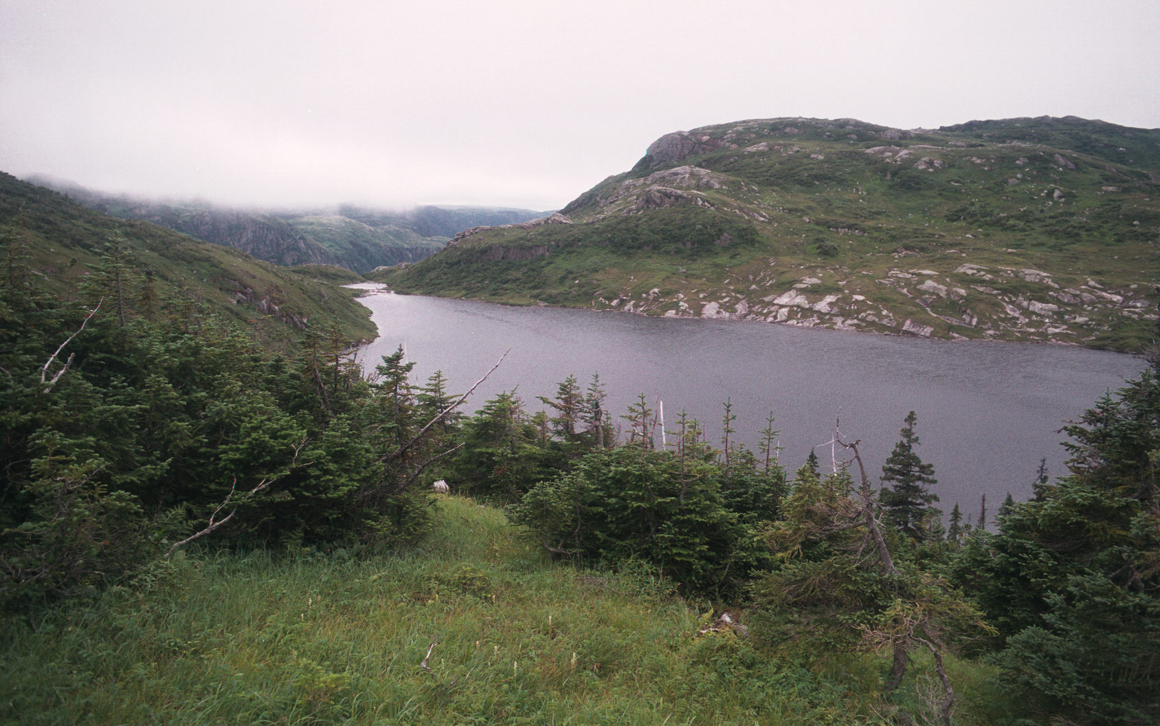
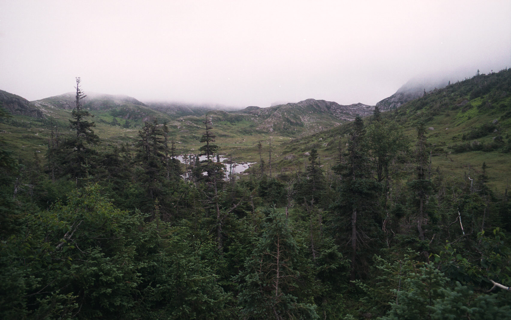
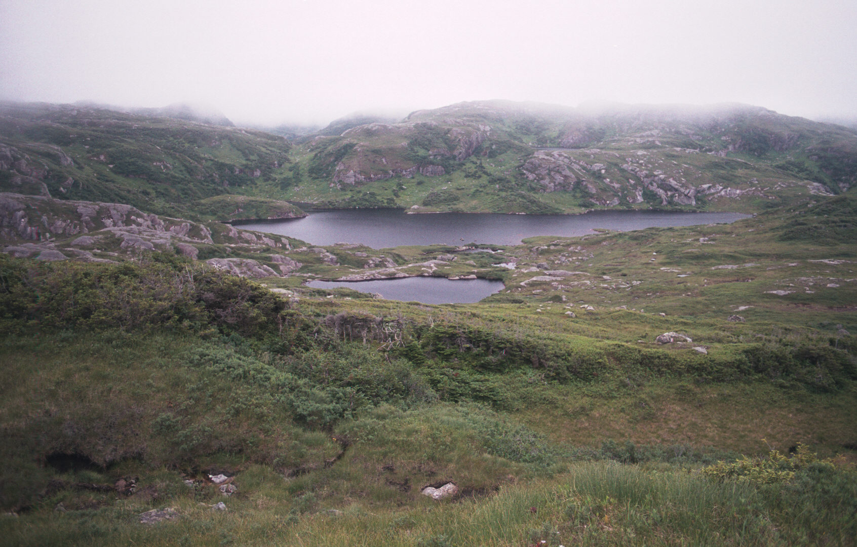
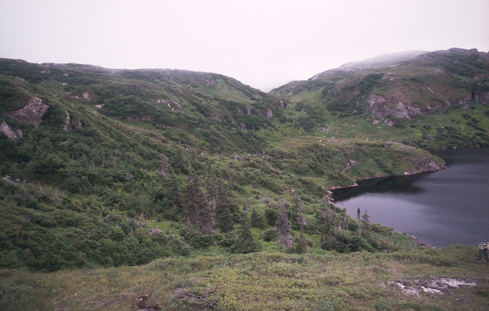
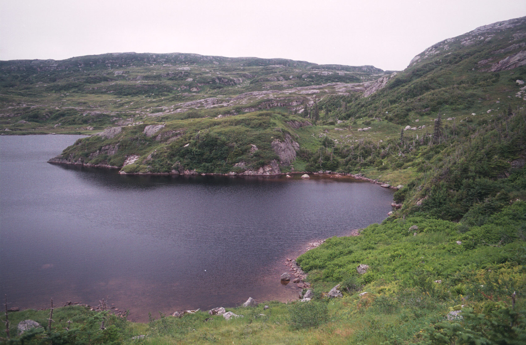
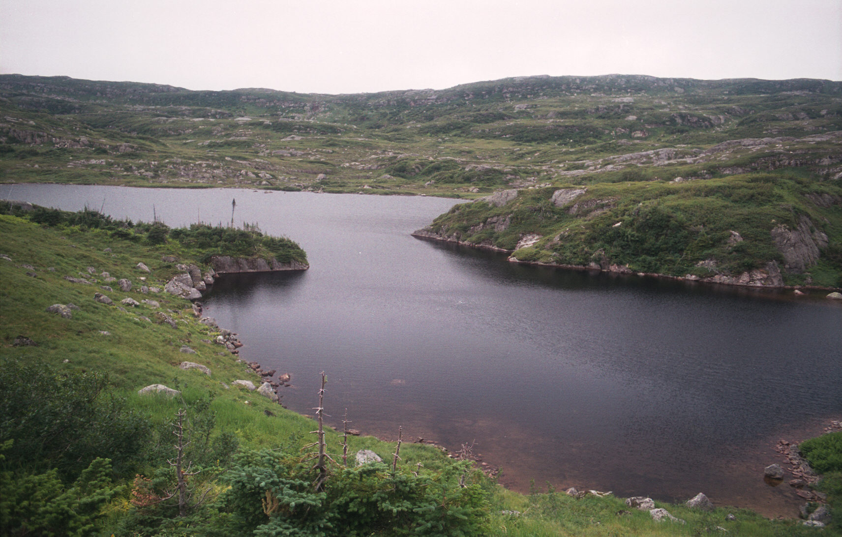
The scenery on the plateau was amazing. It is like nothing else in the park. Hopefully my pictures will do it some justice.
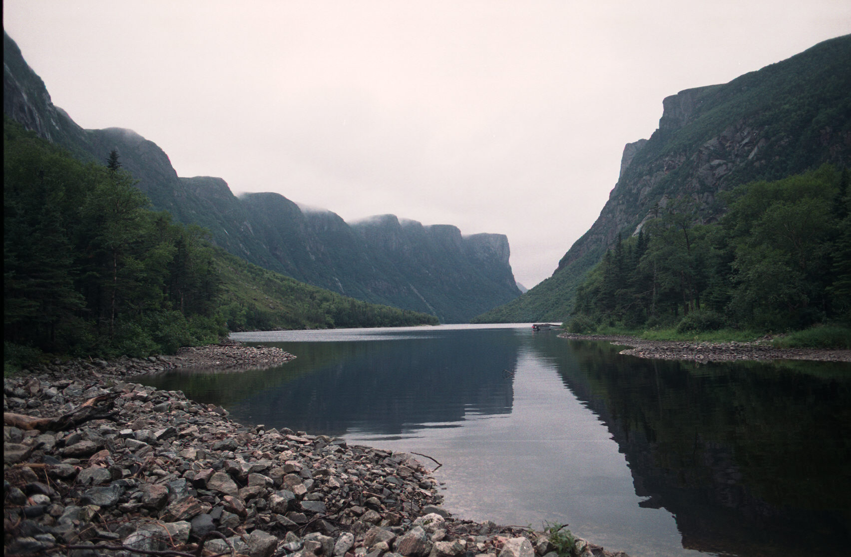
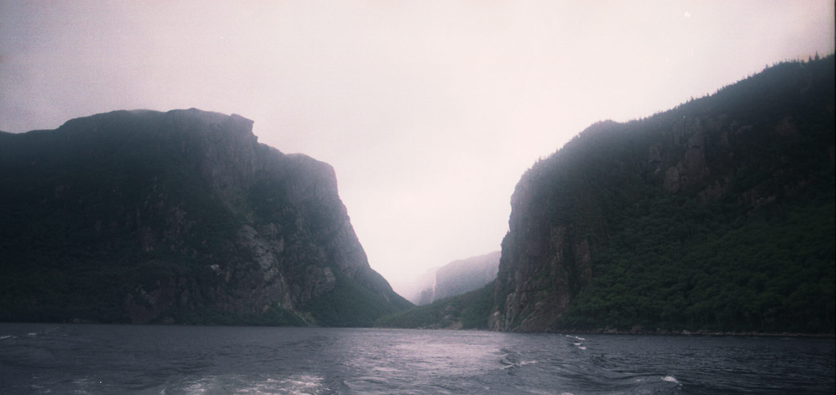
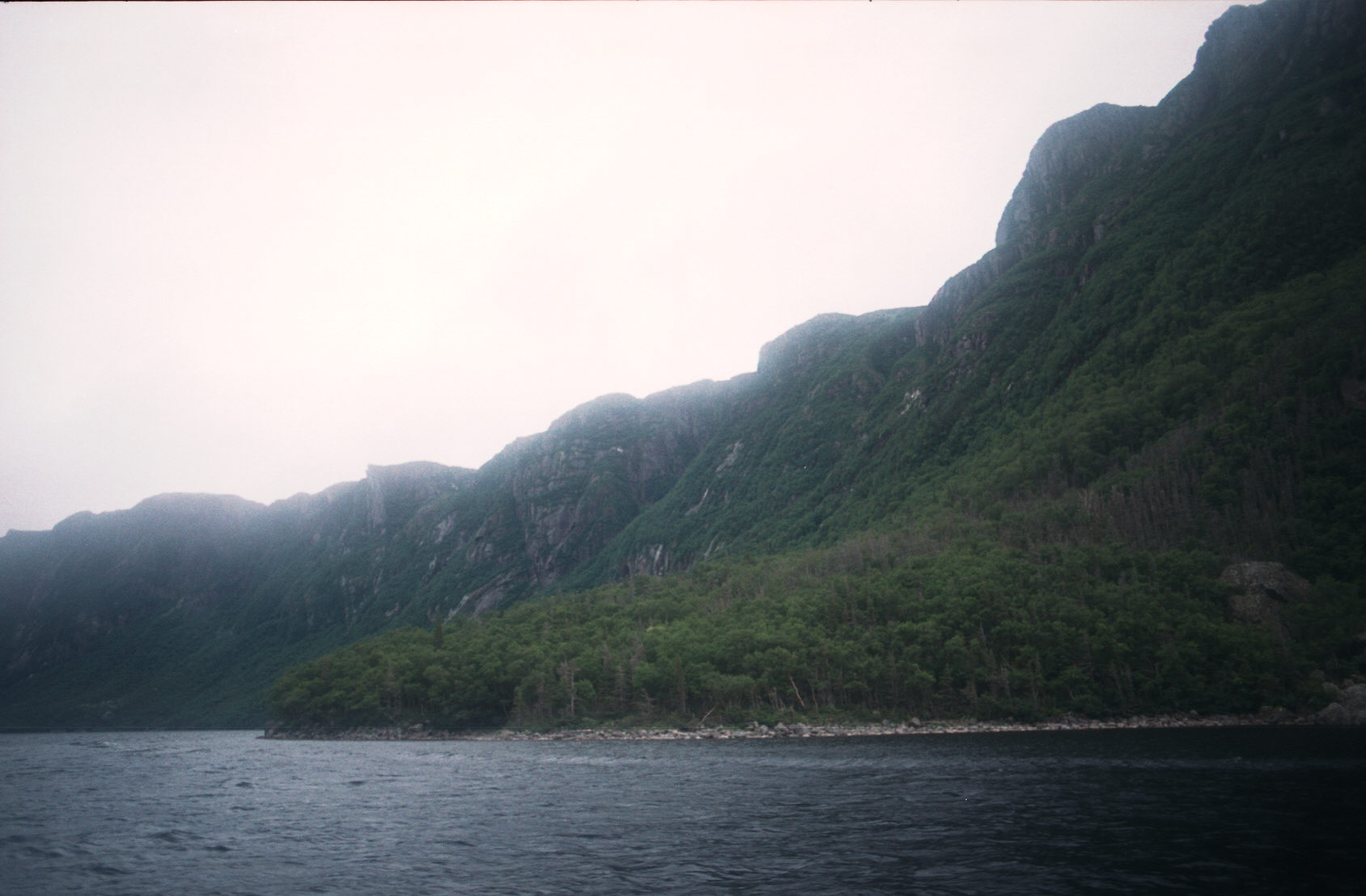
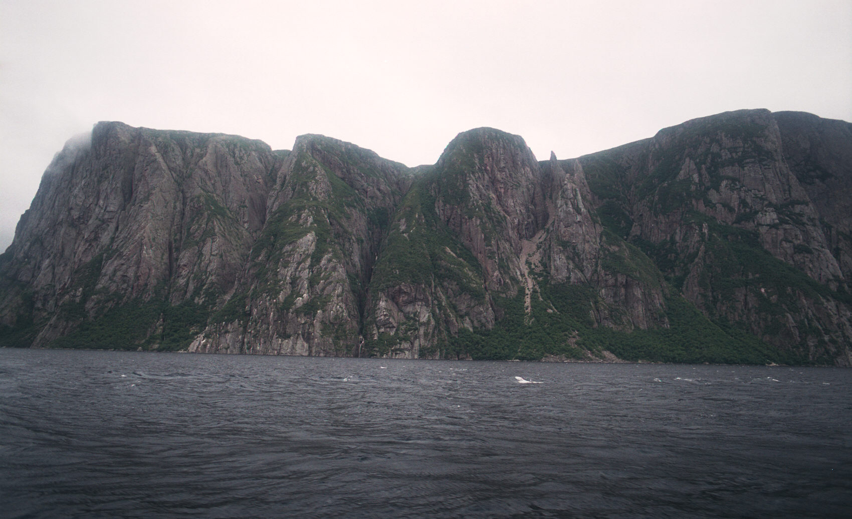
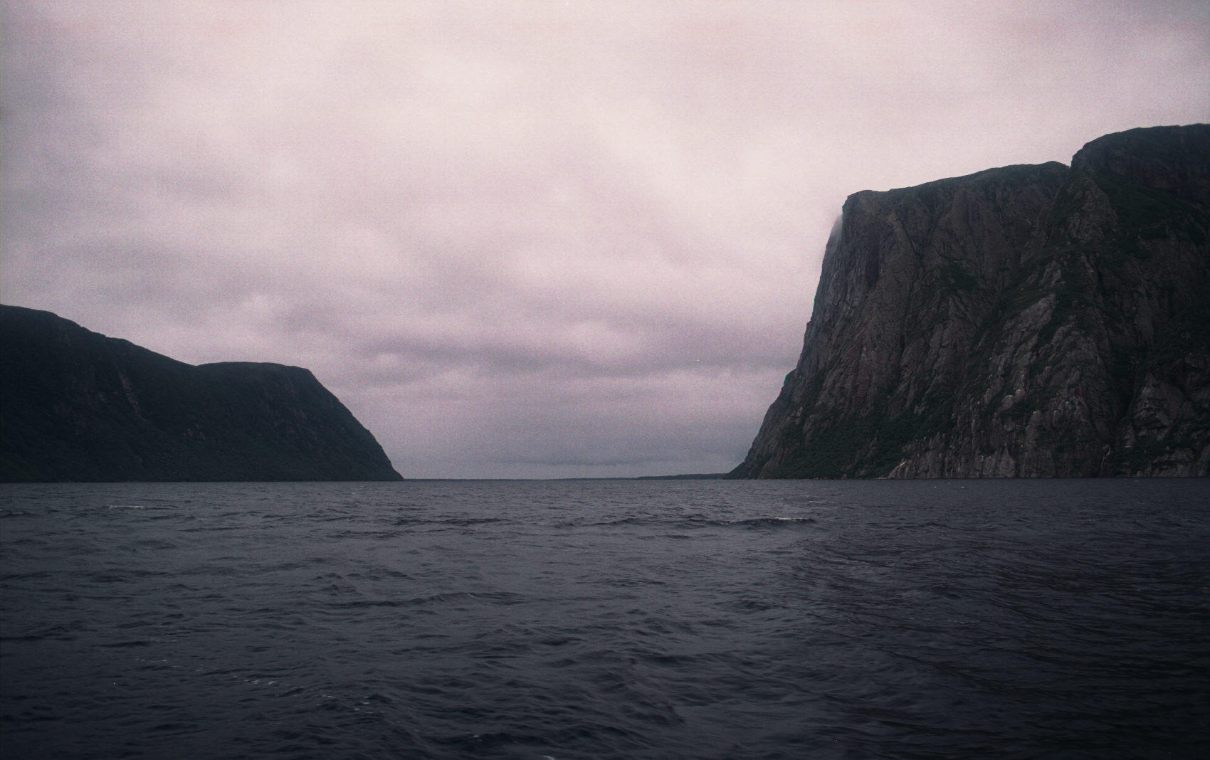
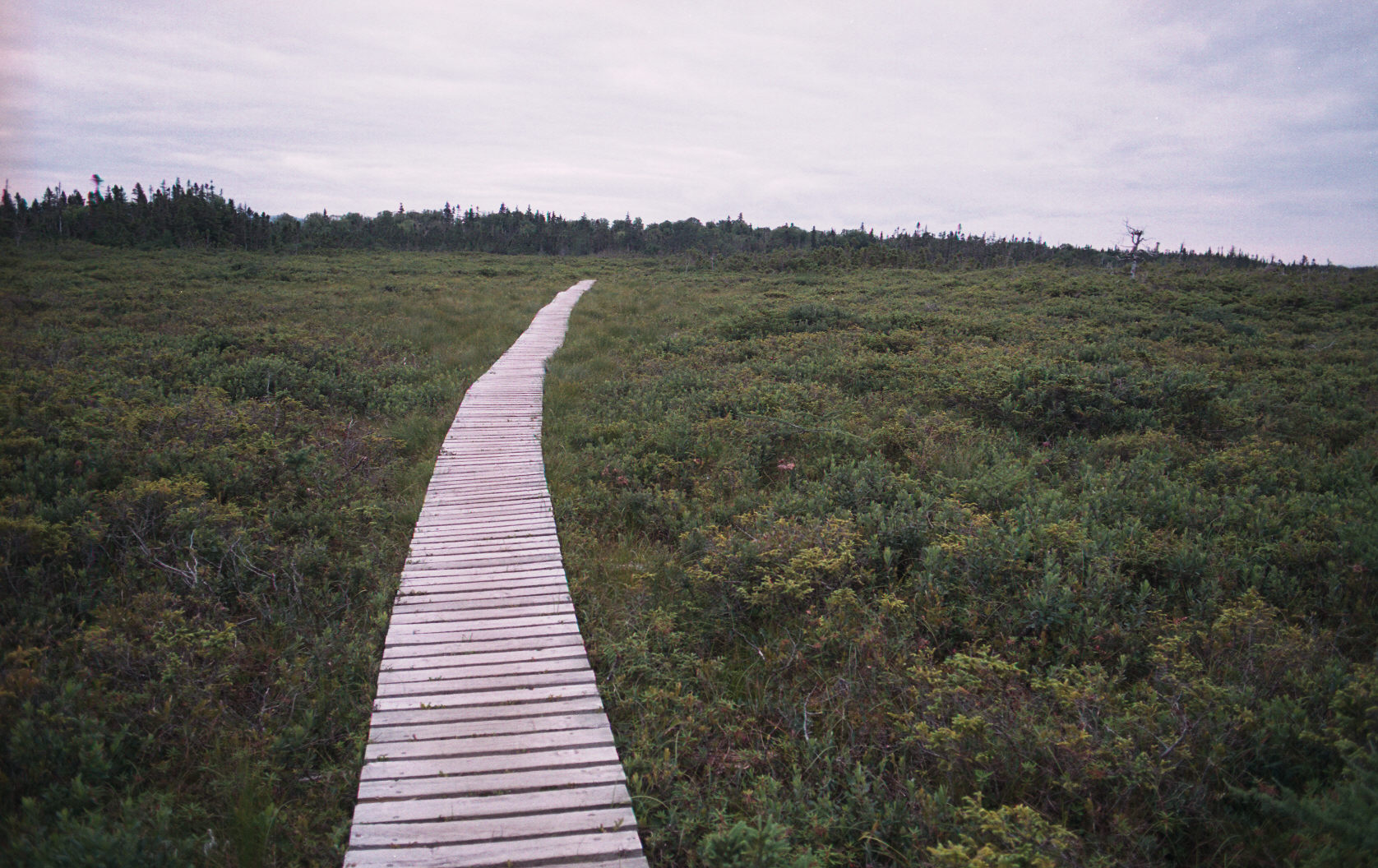
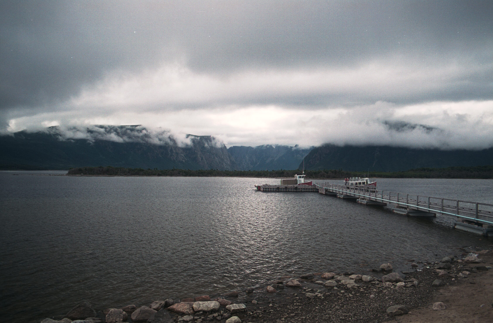
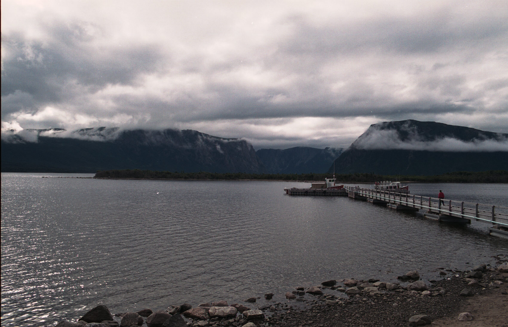
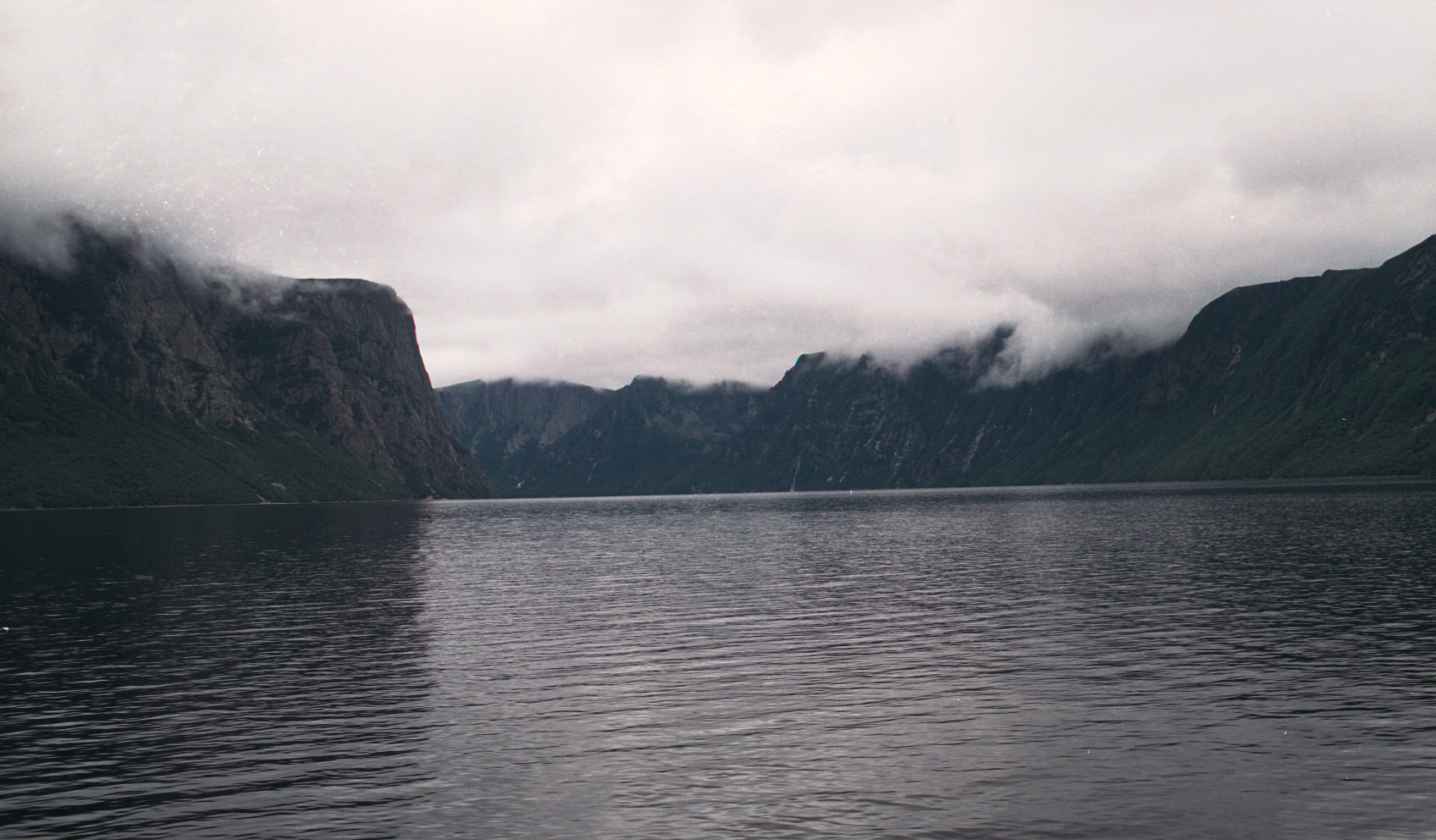
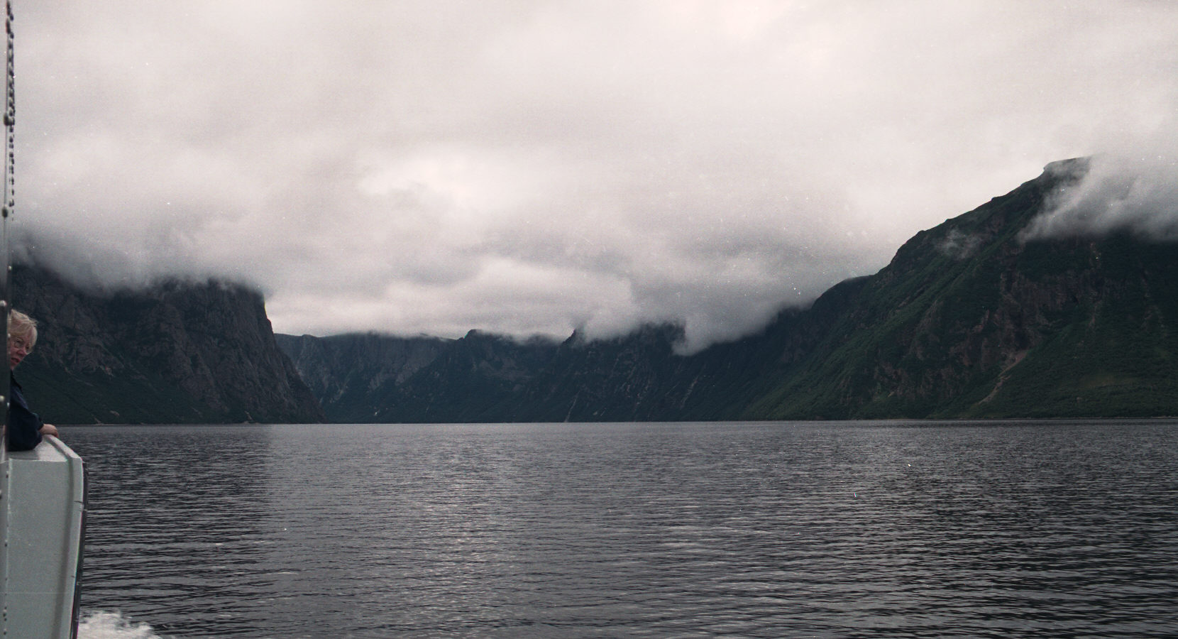
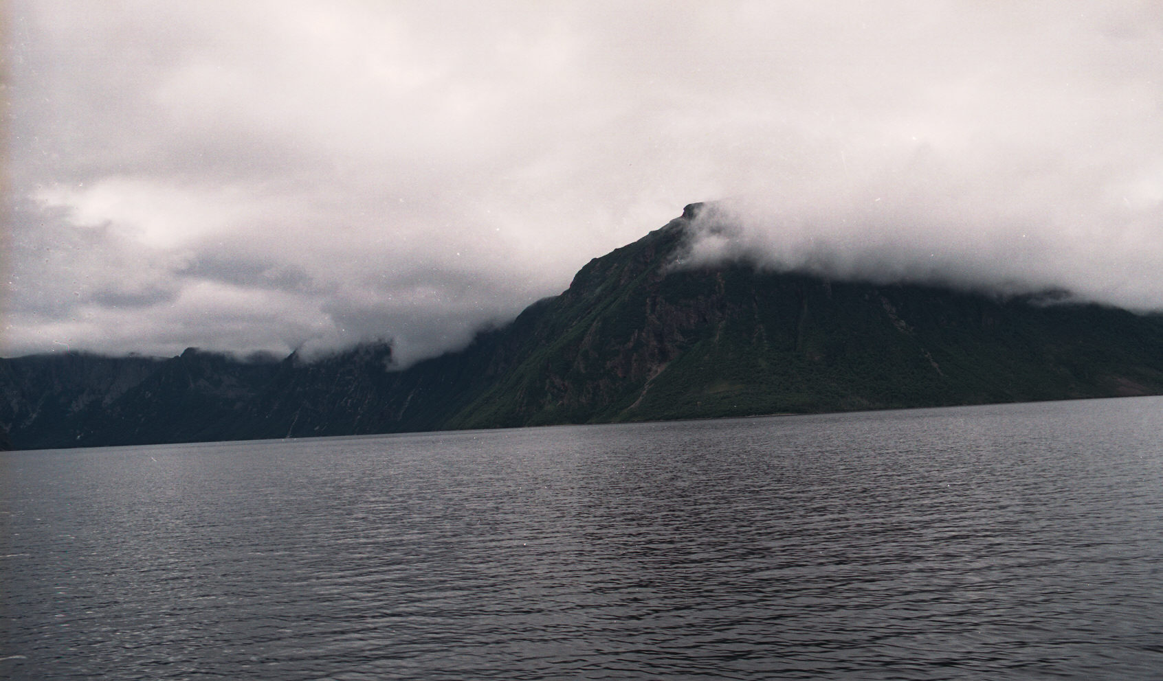
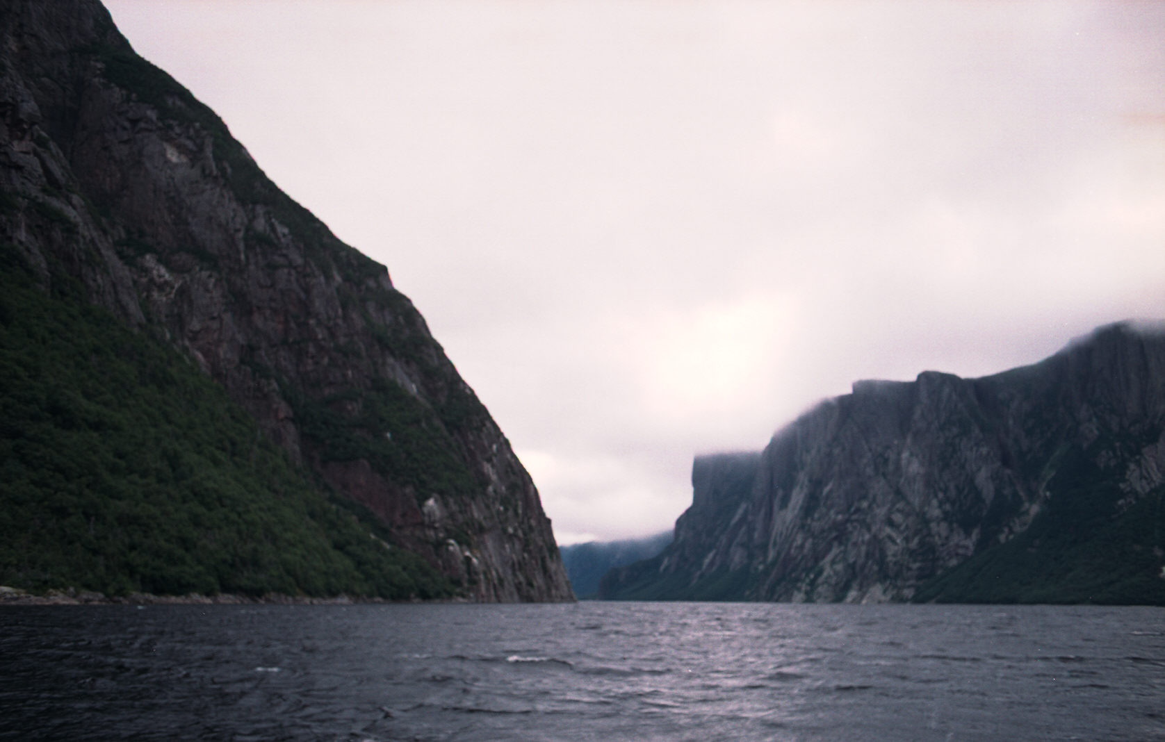
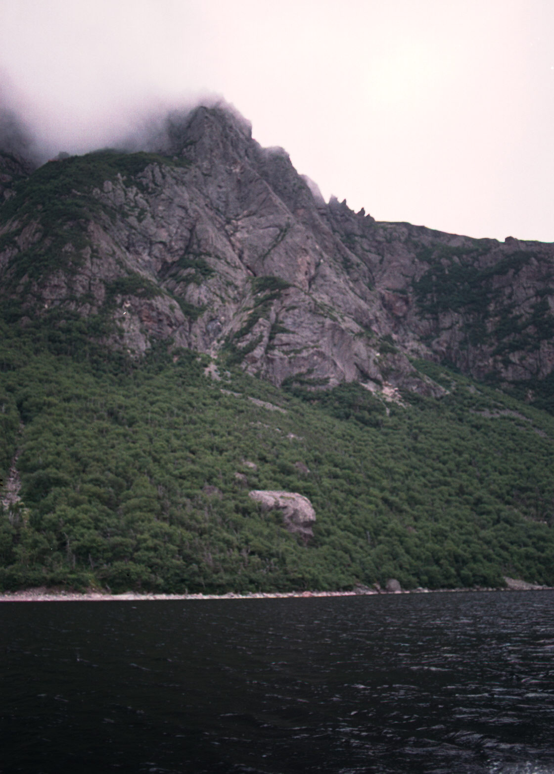
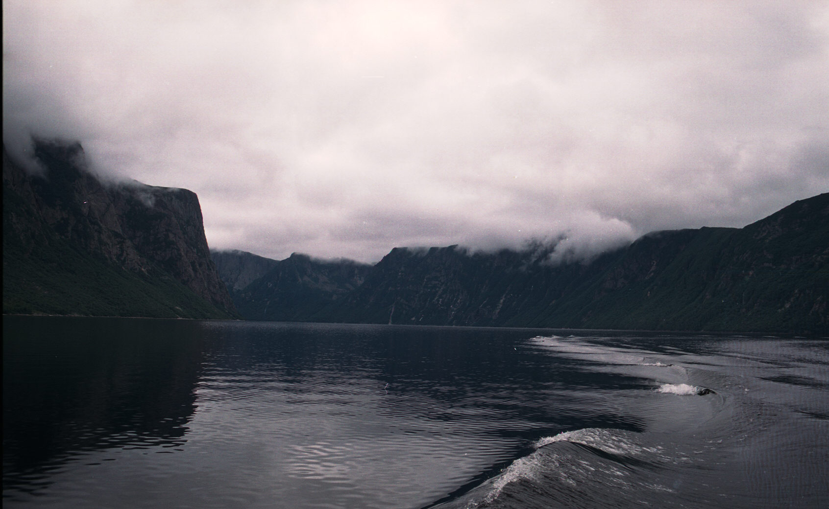
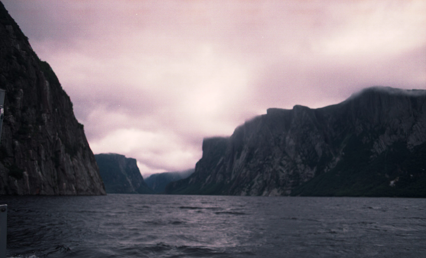
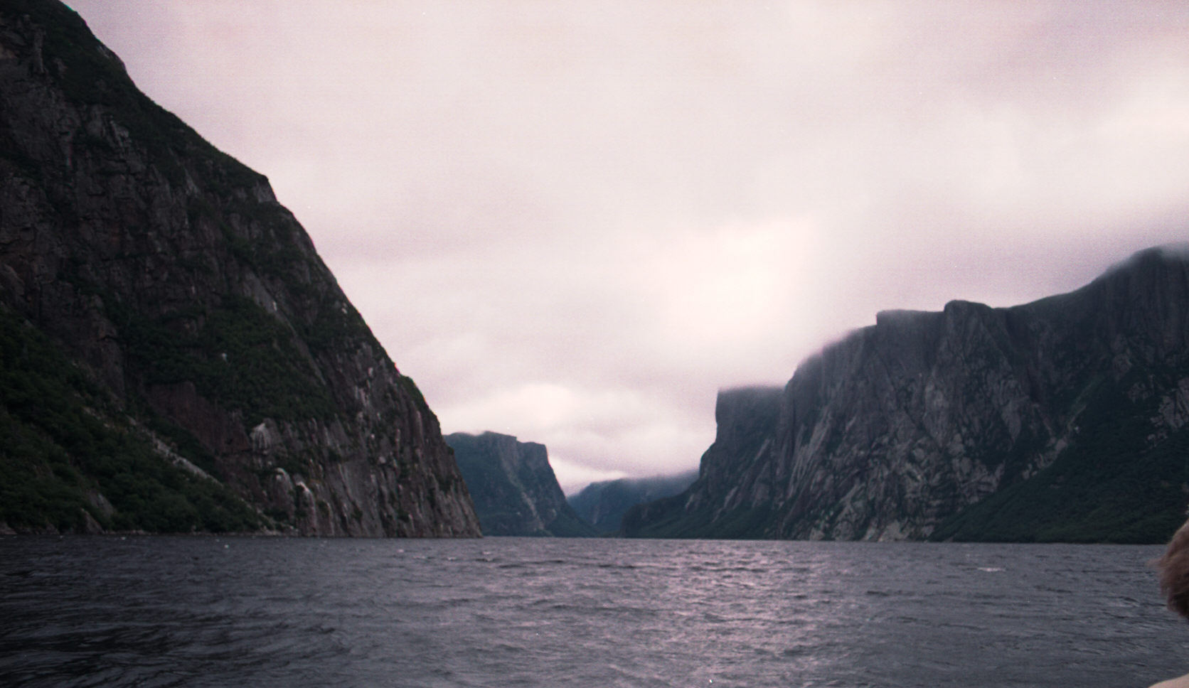
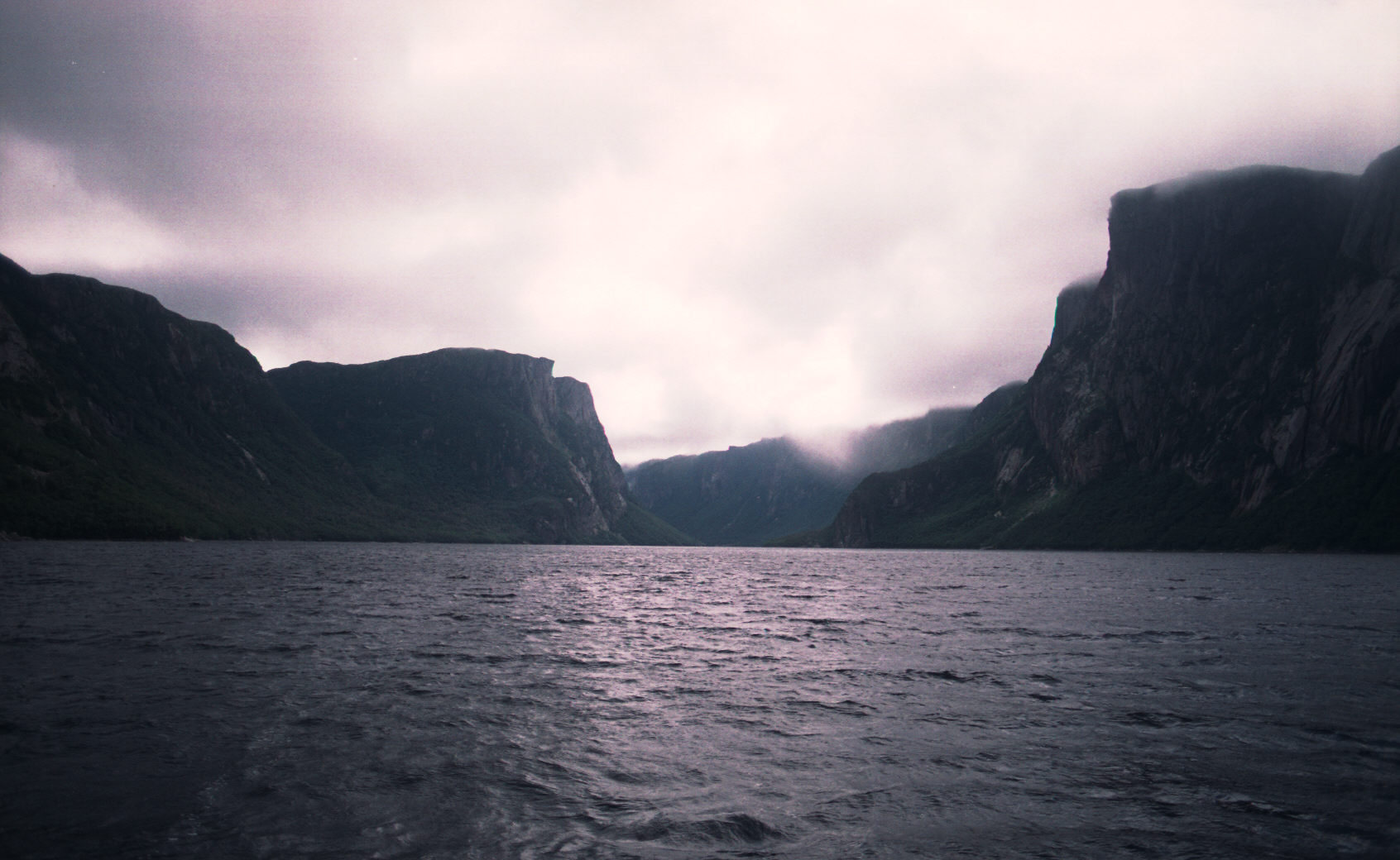
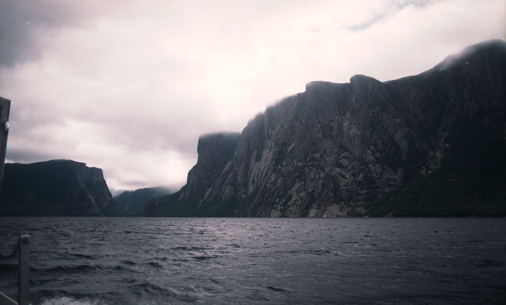
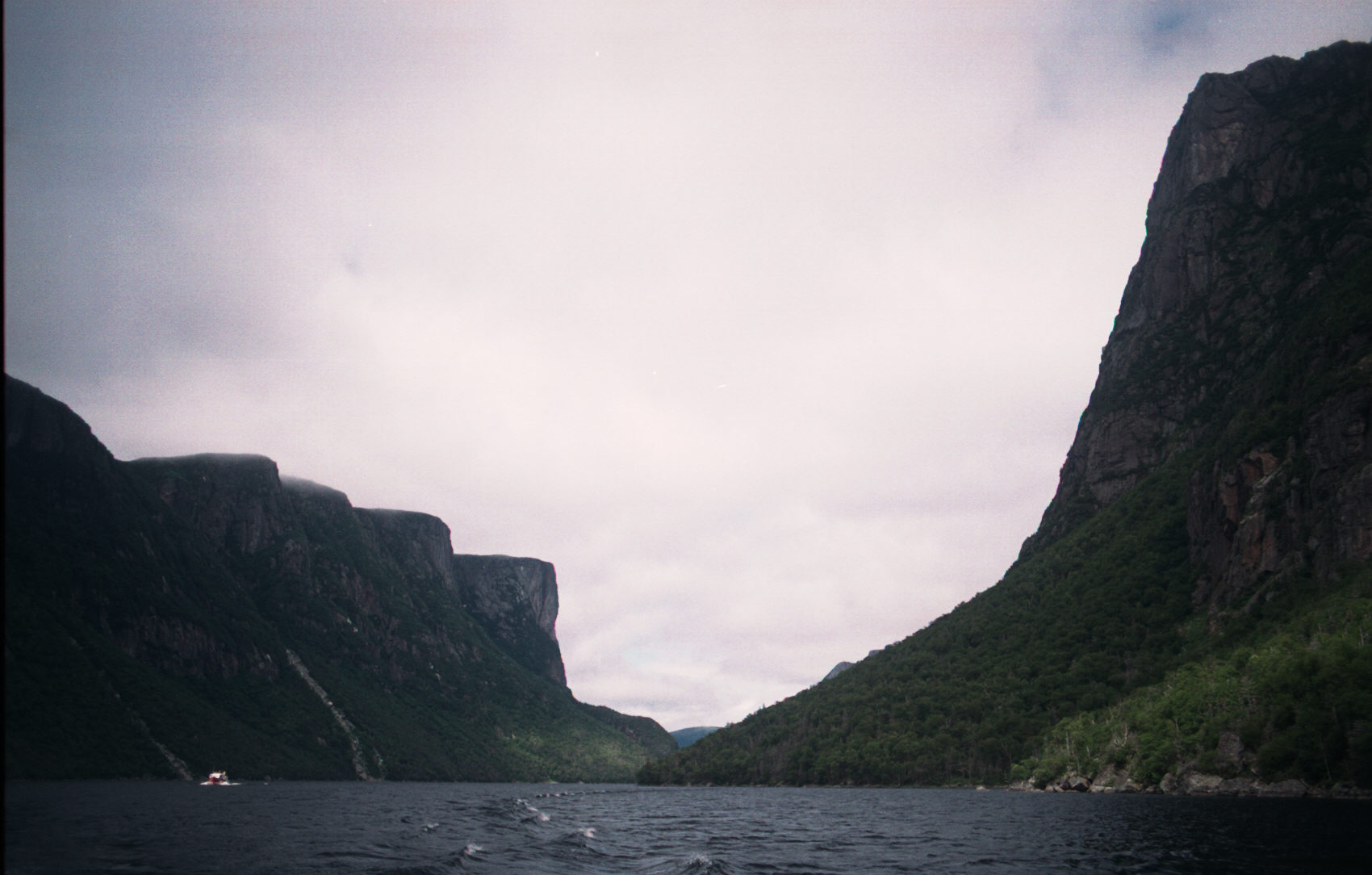
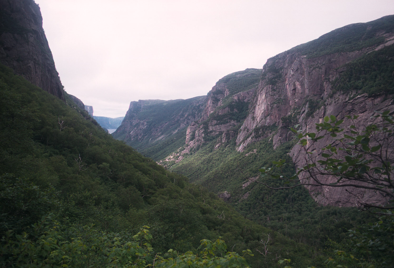
The Western Brook Pond is a 30 min. hike over swampy ground. At the end of that you will see the lake and the
steep walls surrounding the pond.
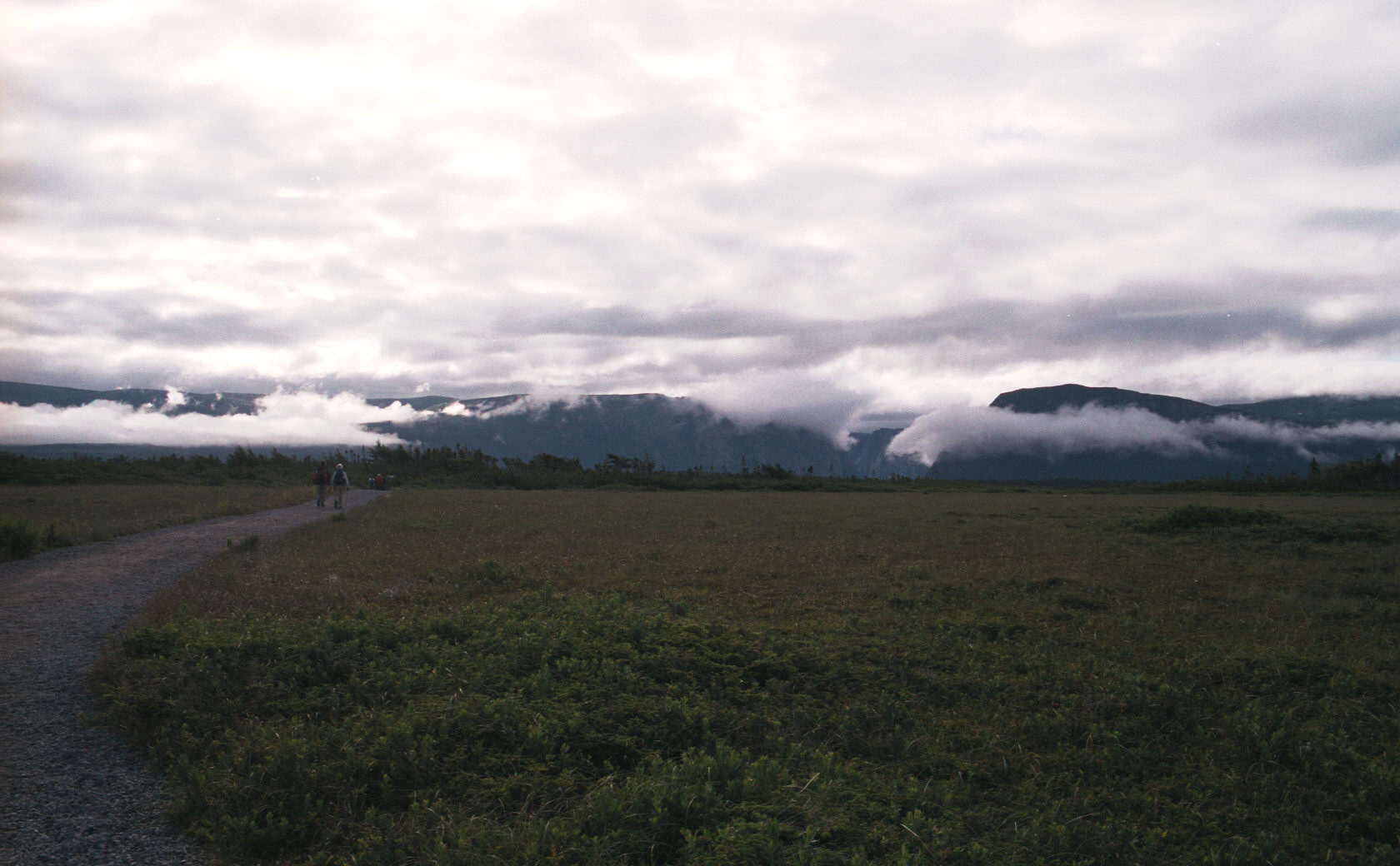
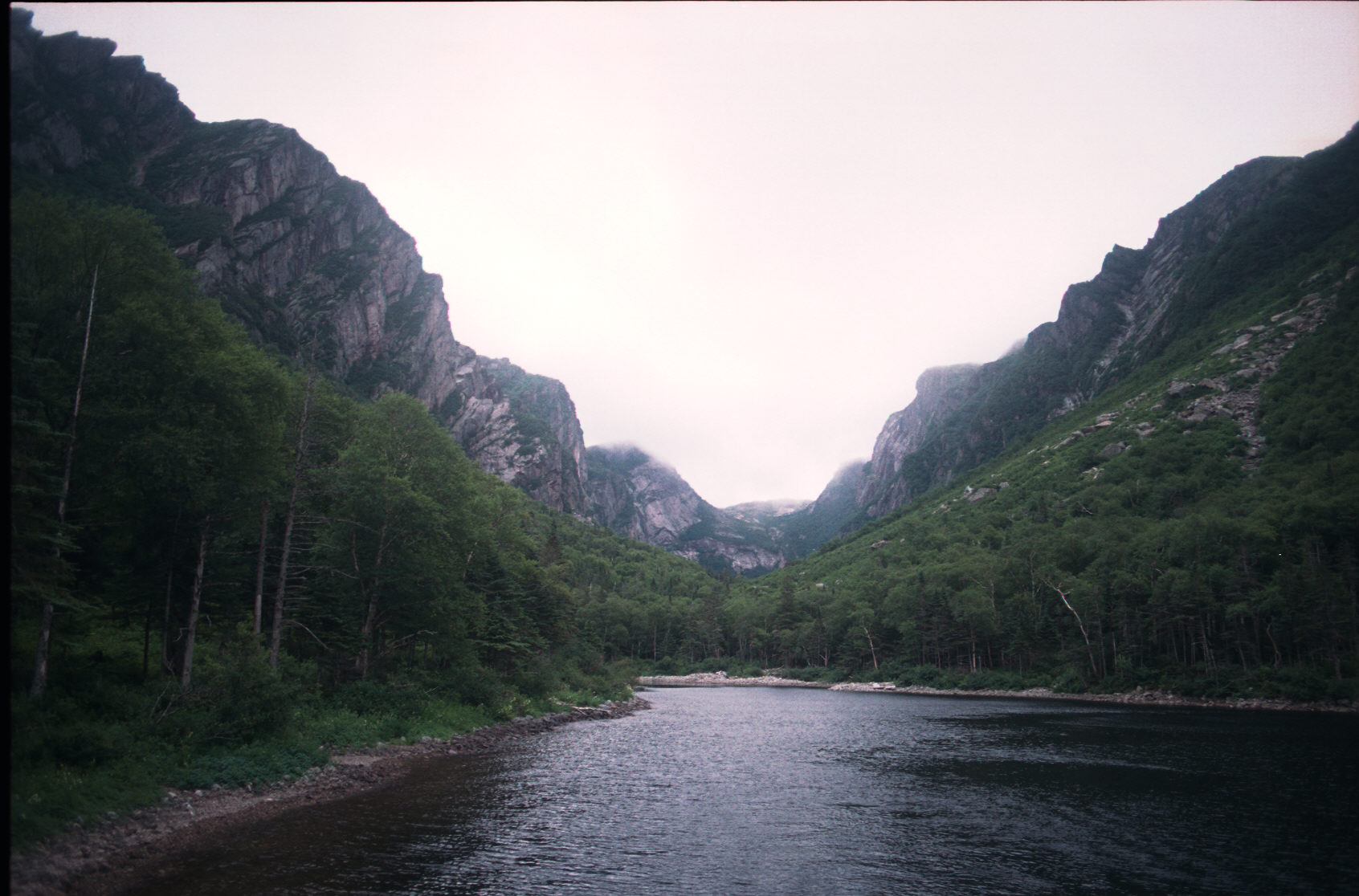
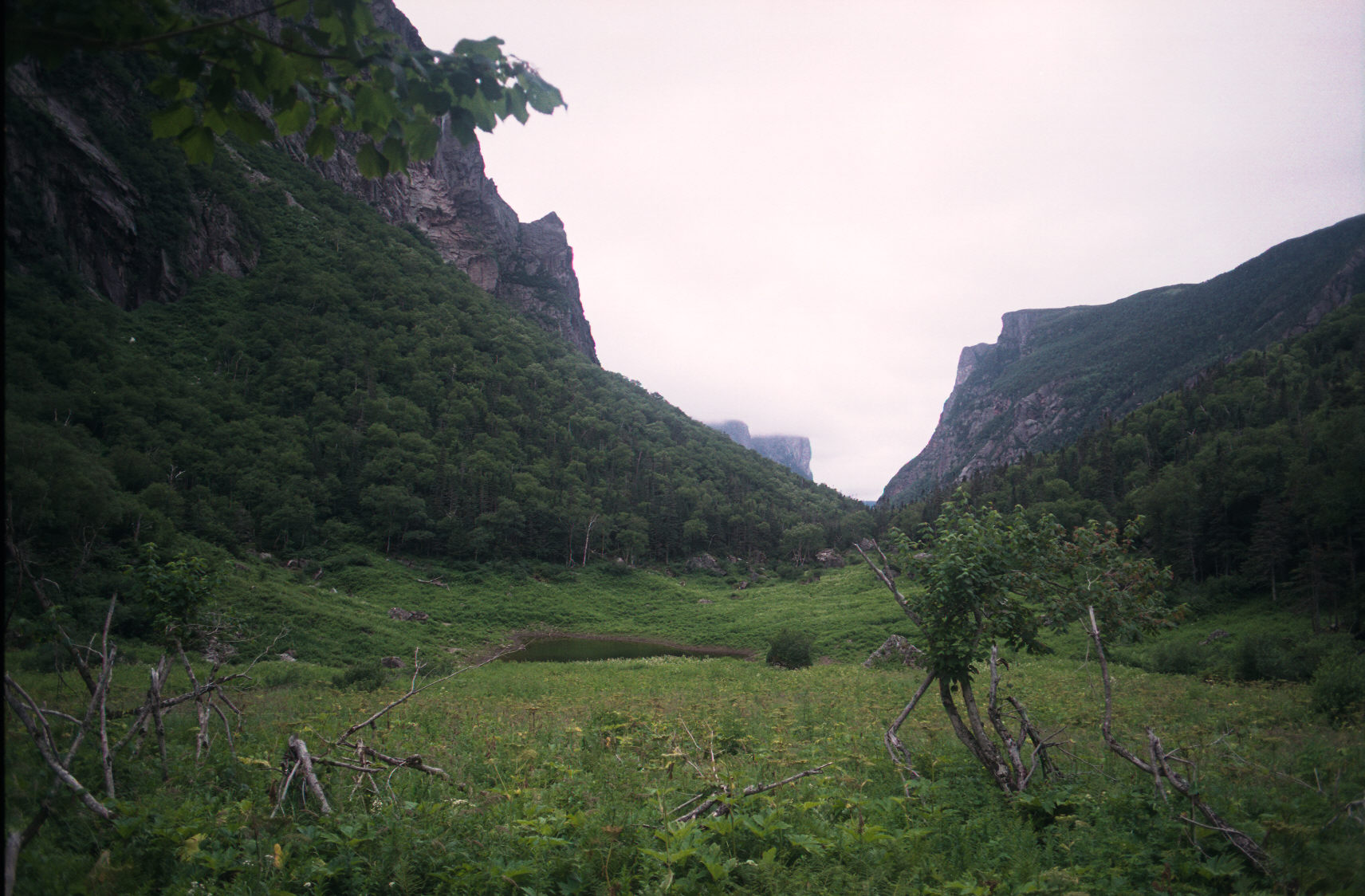
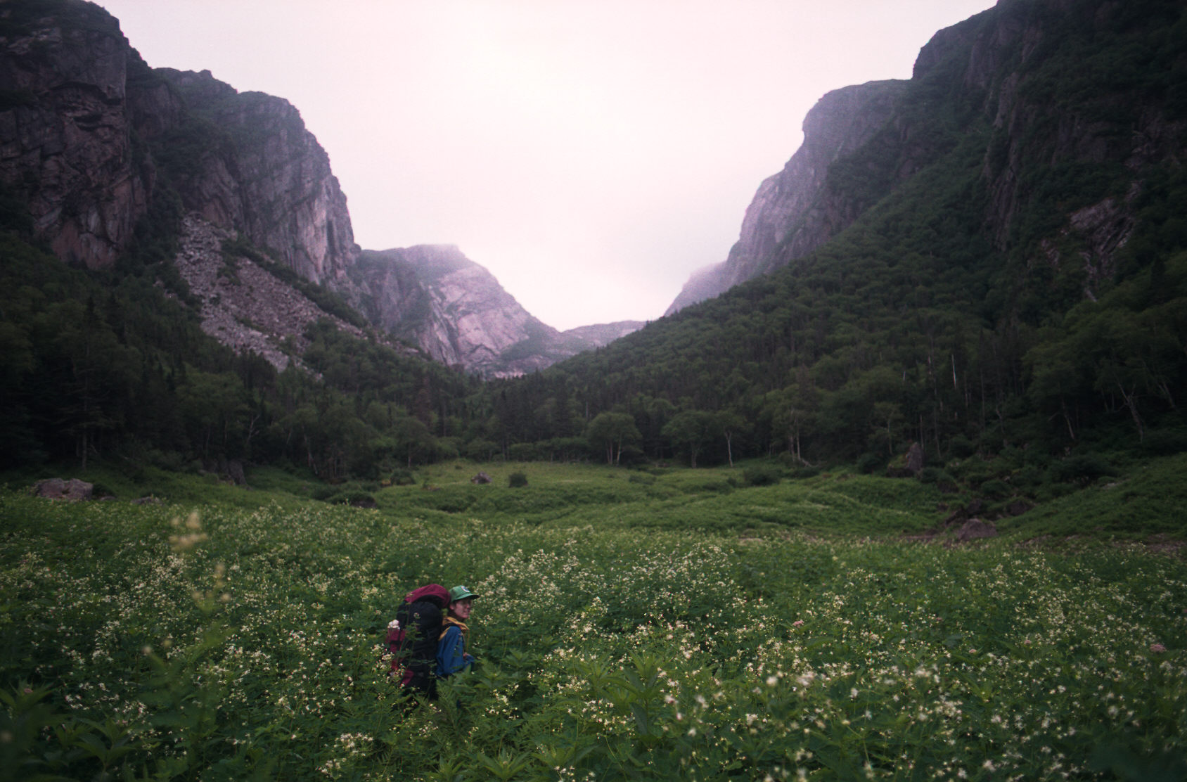
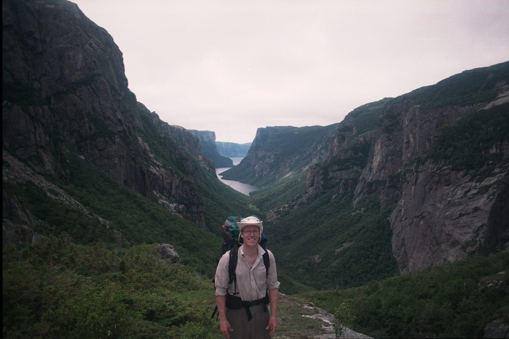
Now we've been let off at the campground at the end of the pond and we have to hike across meadows and thru brush to get to the climb. This was a very web experience. Even in the middle of the day the vegetation is wet and quite high. You will be soaked from the waist down within a few min. of hiking.
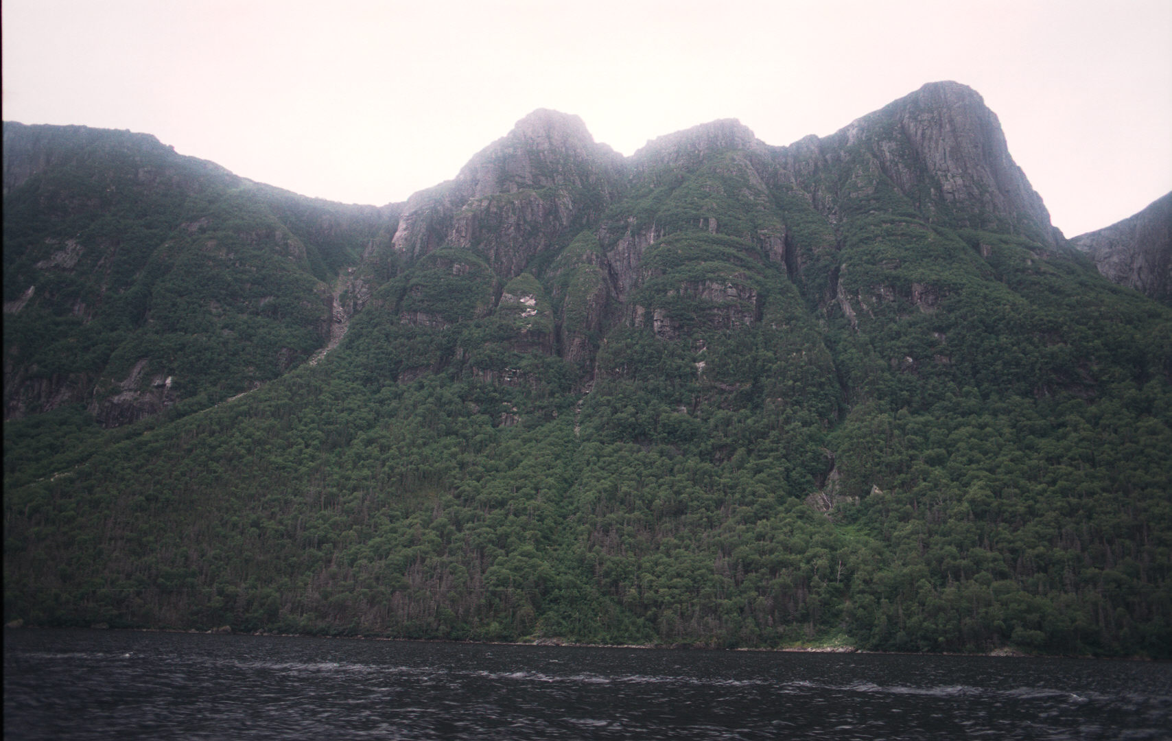
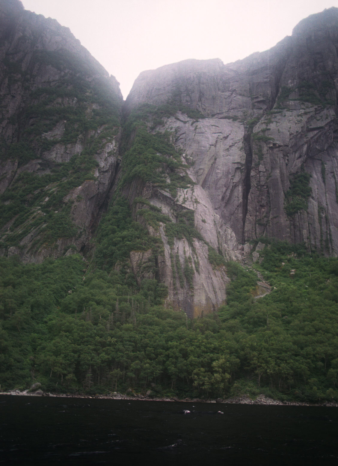
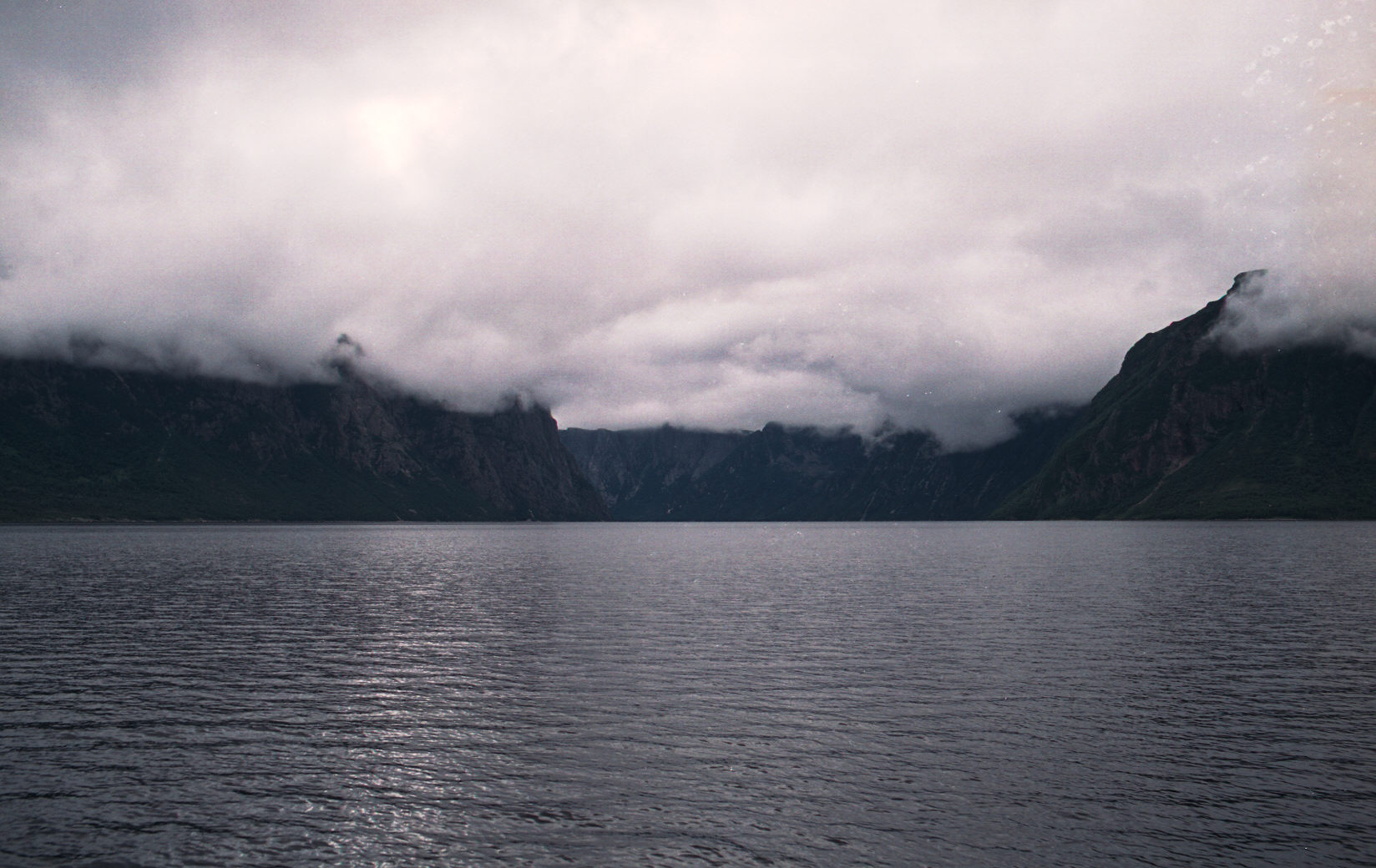
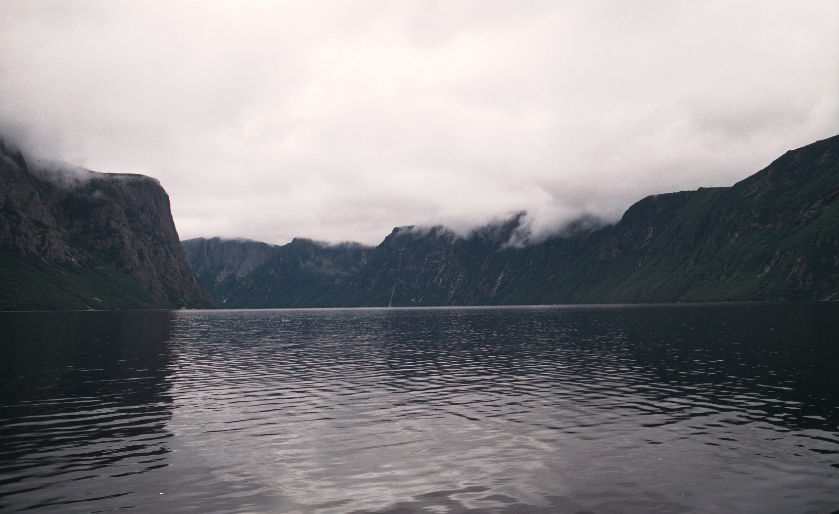
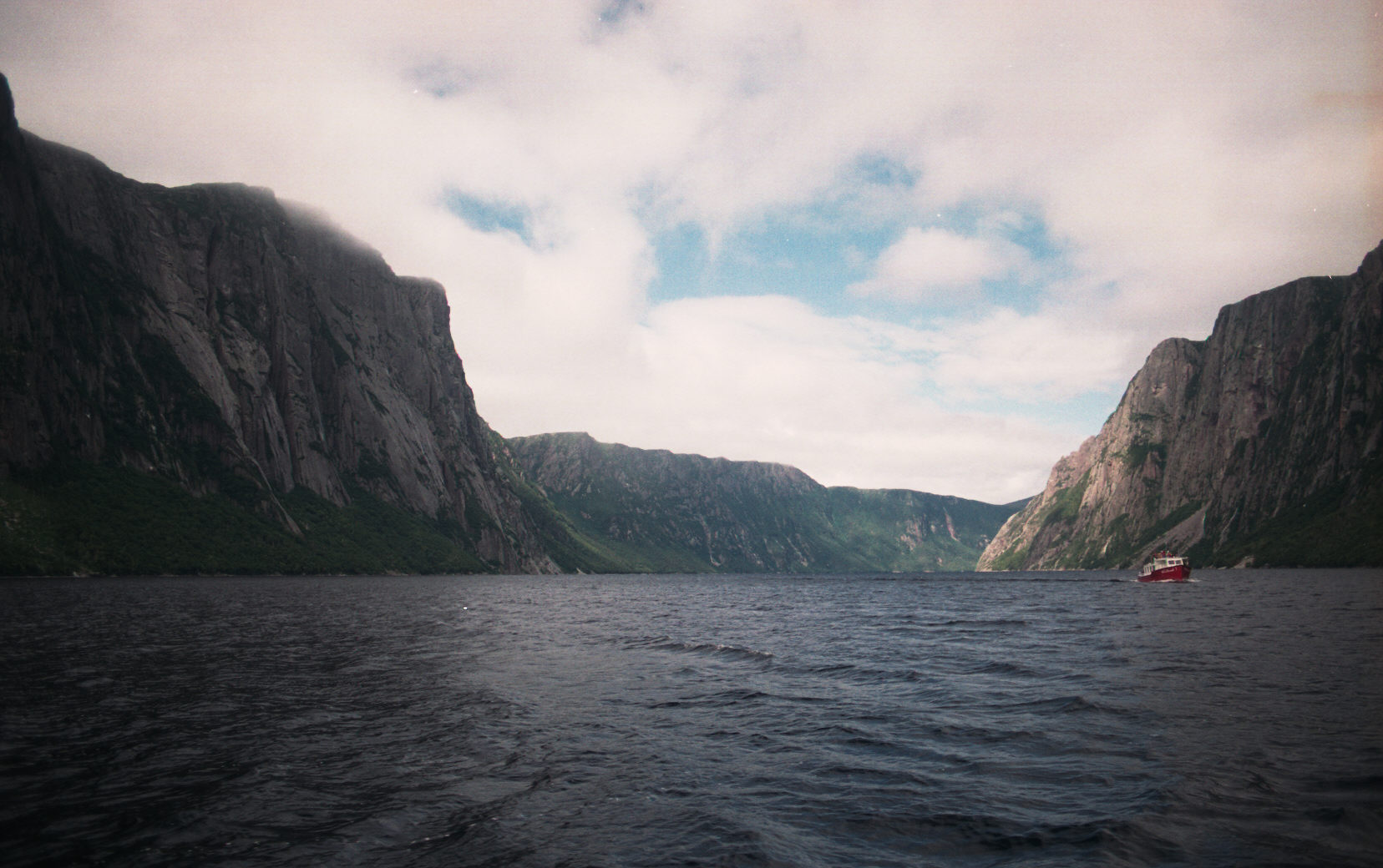
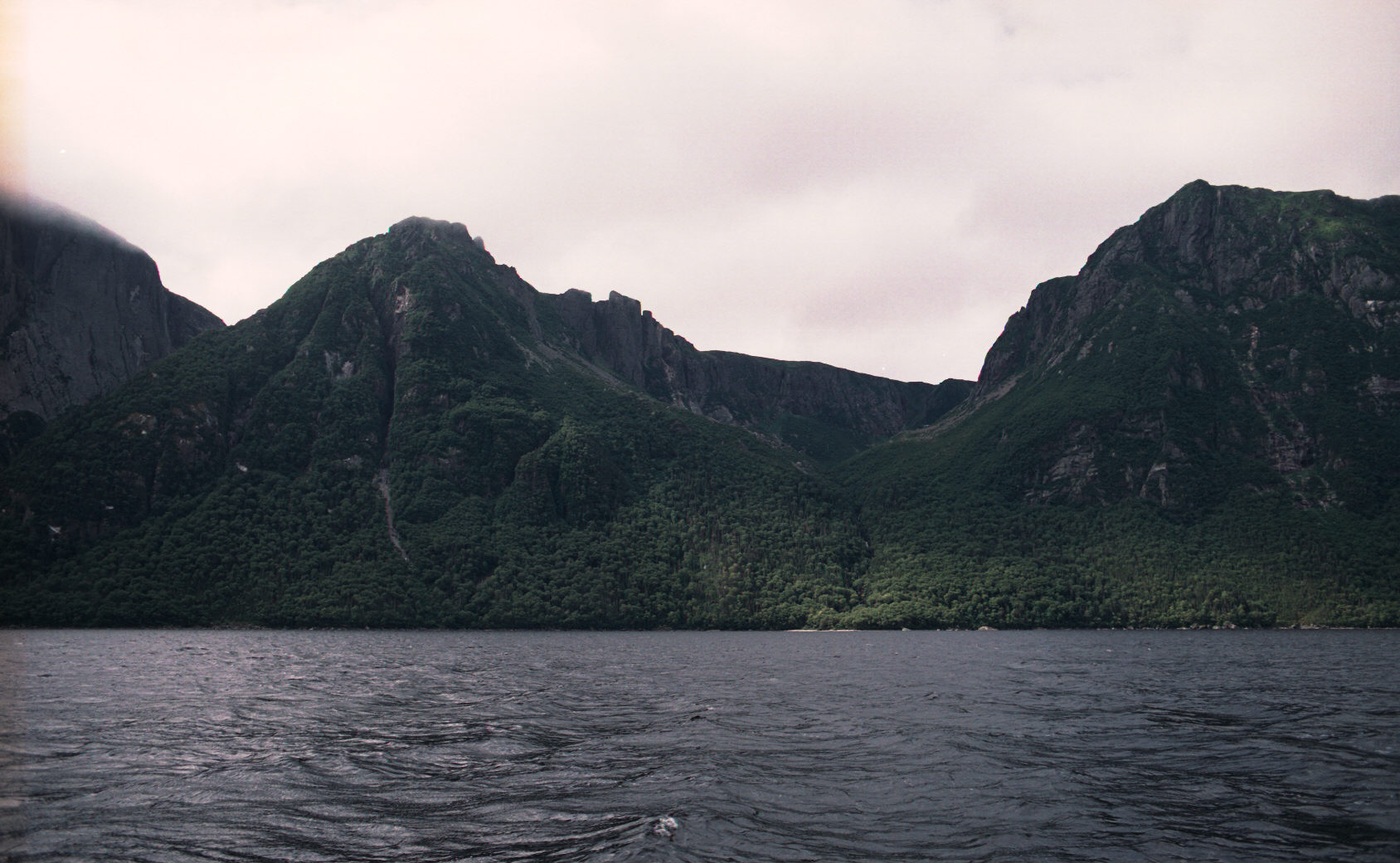
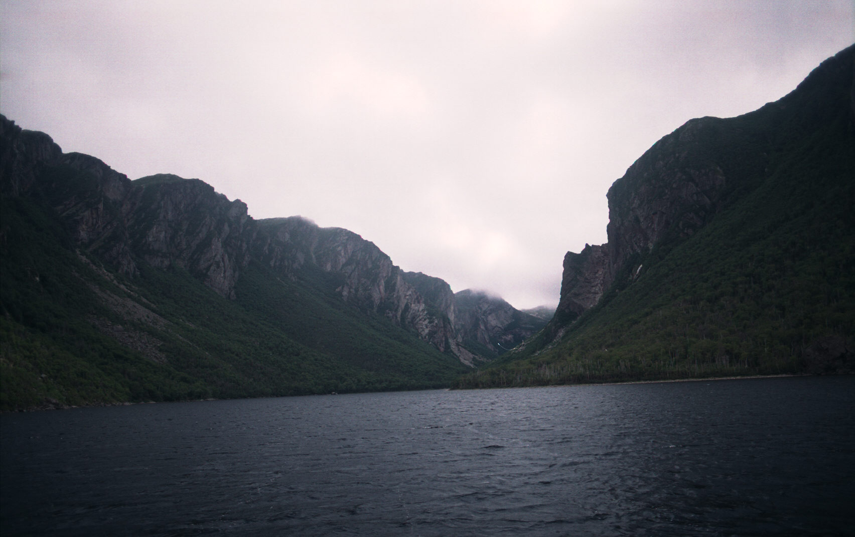
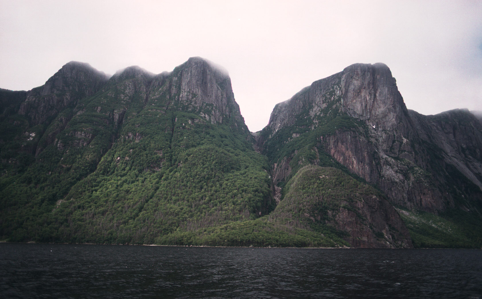
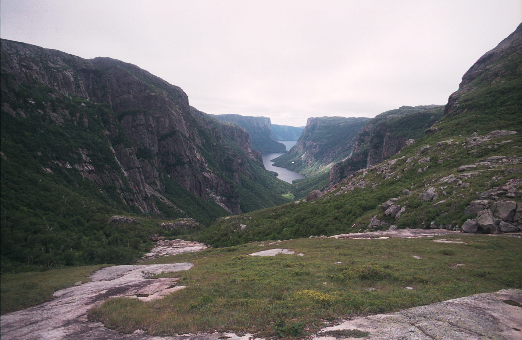
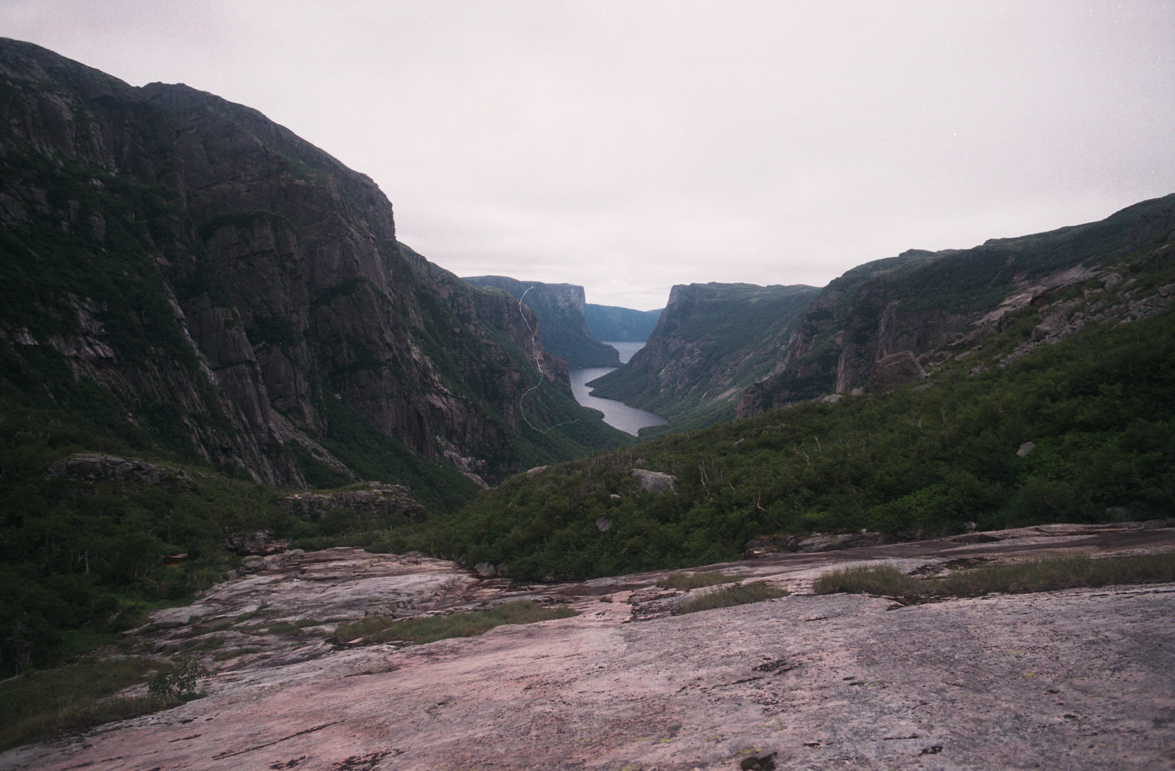
At this point in the hike [about 3.5 hours] we have crested the climb to the plateau. These are the standard pictures that you will see of Western Brook Pond.
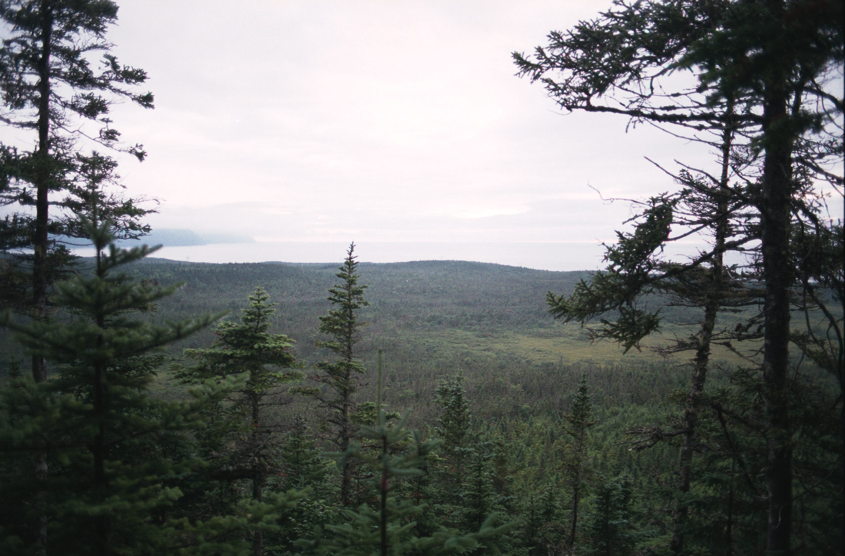
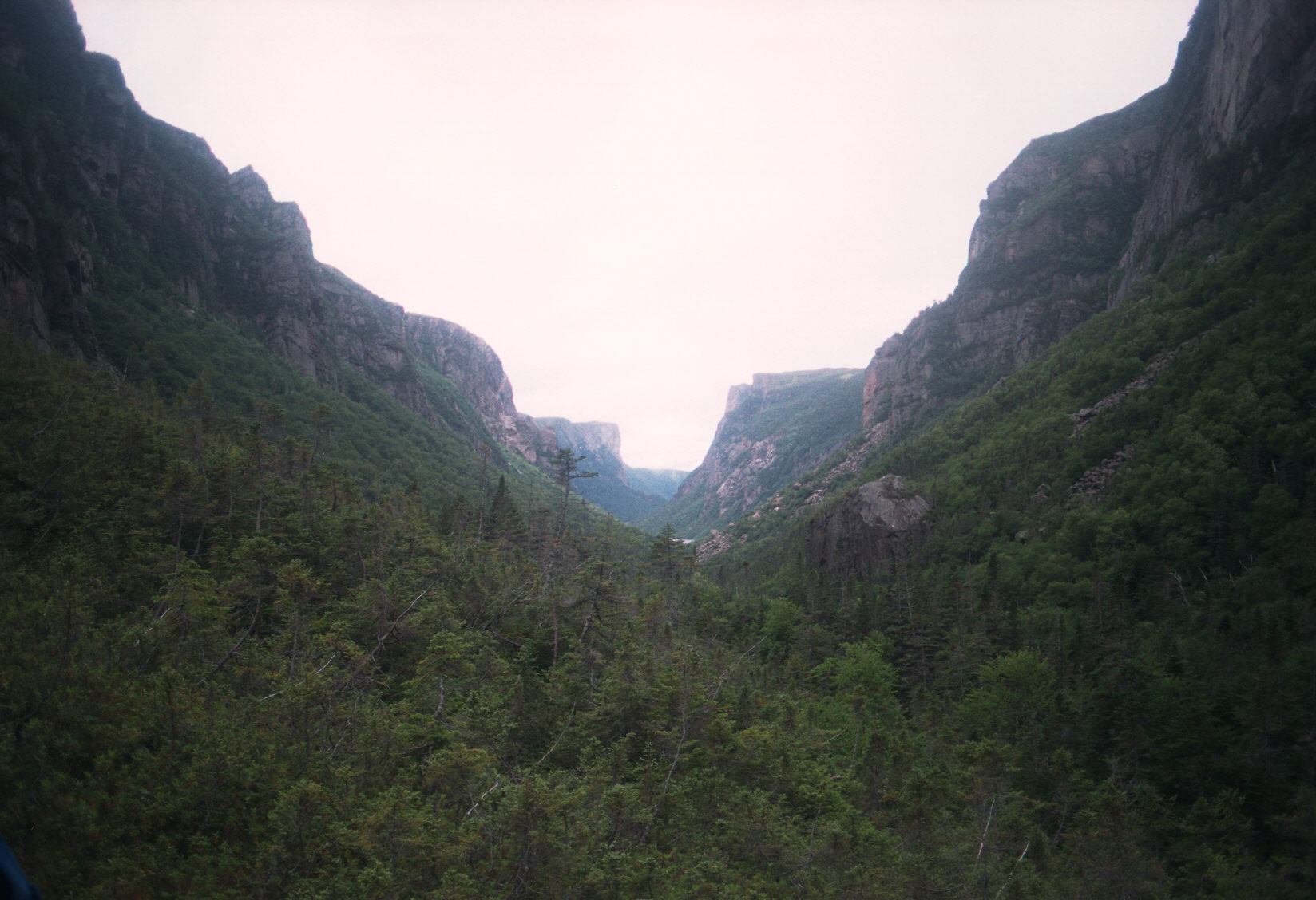
Now we are into the hike at the top of the plateau.
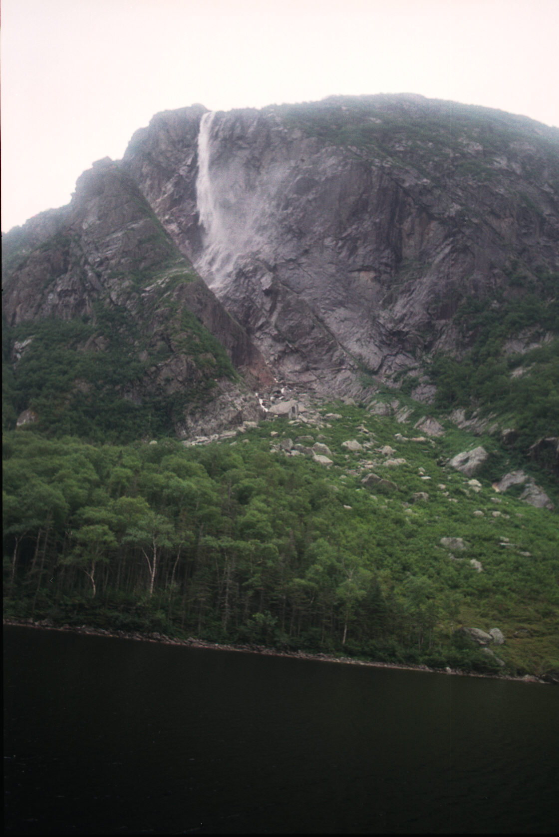
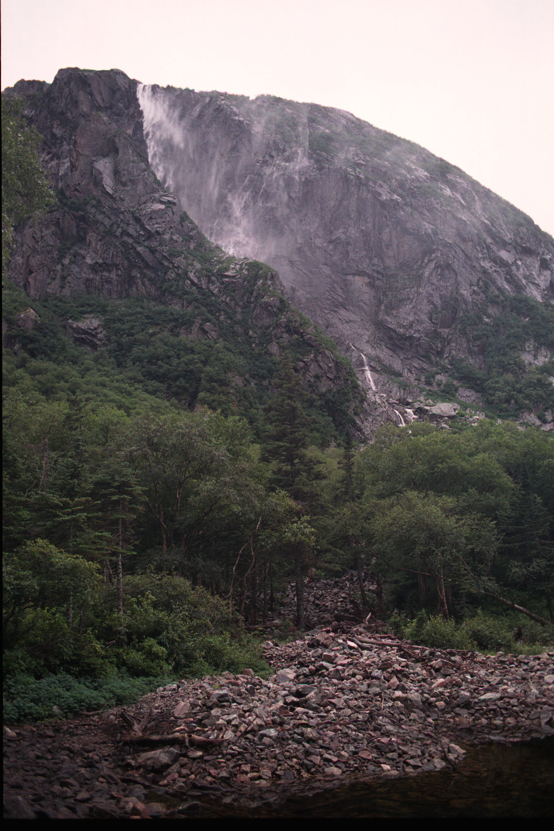
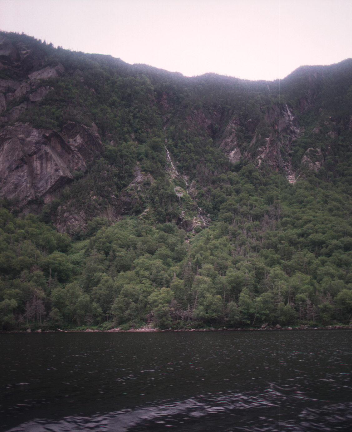
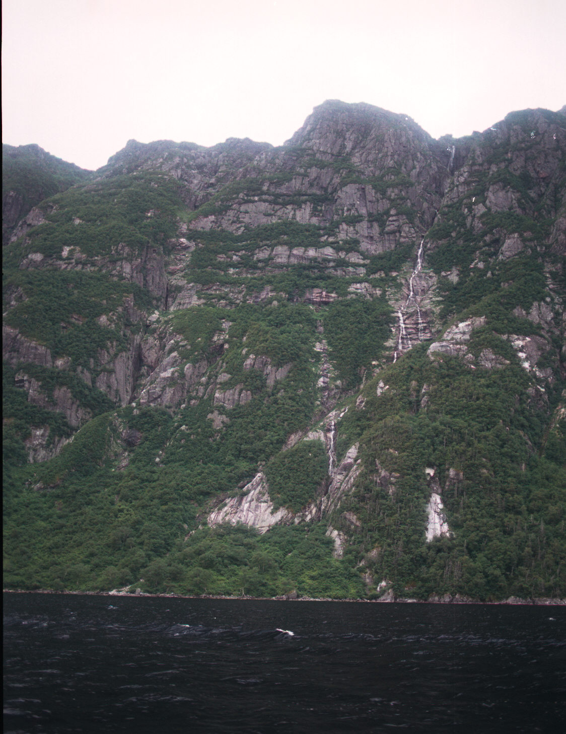
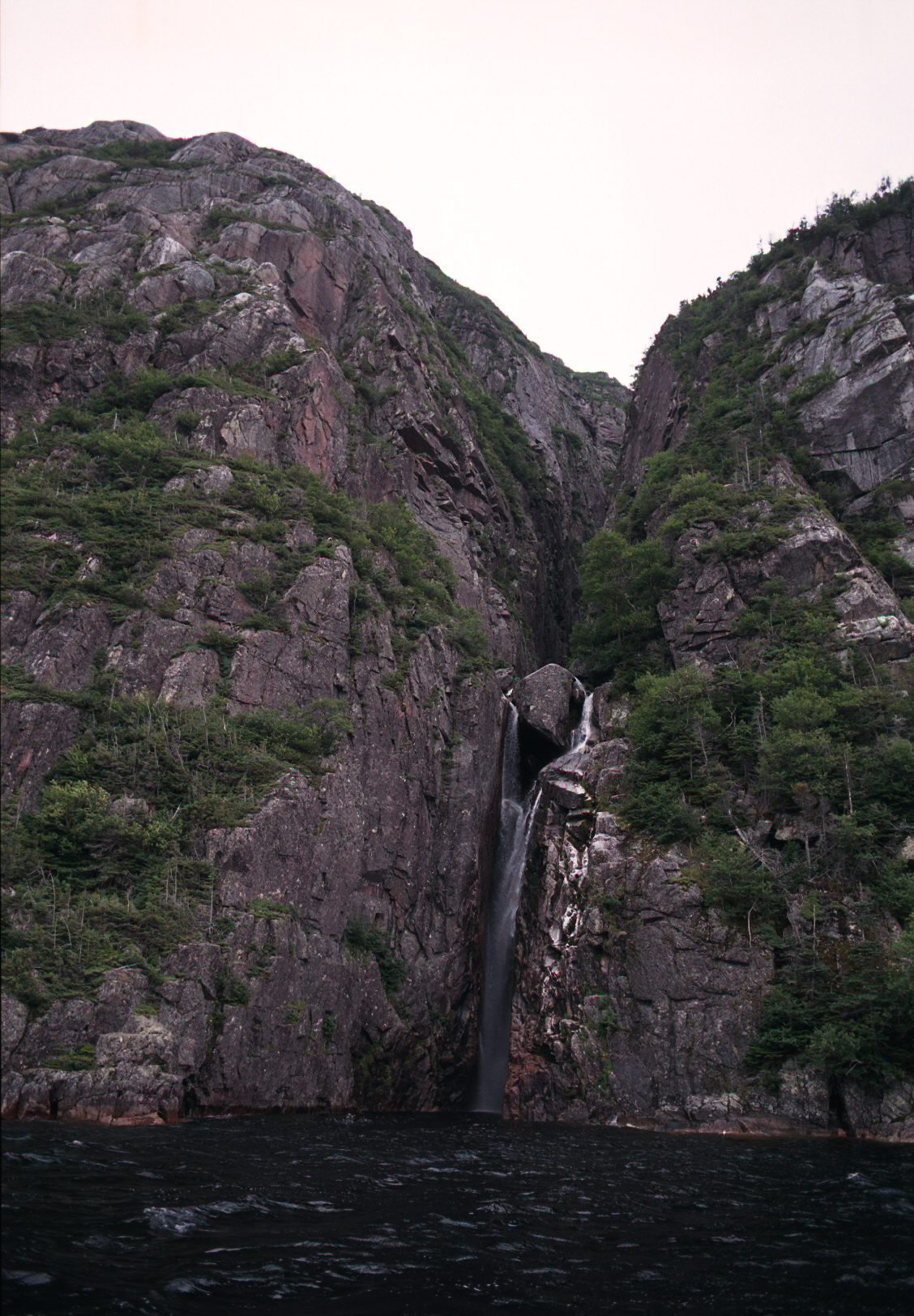
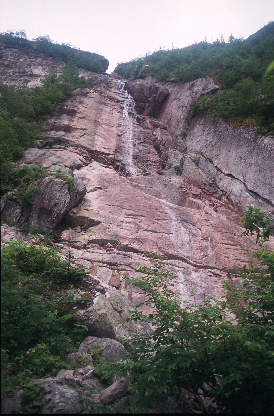
Here are pictures at the campsite at the end of the pond. We just had a day of fairly heavy rain and the sound
of water coming down from the plateau is all around you. Where there was dry rock the day before there are
now waterfalls.