These pictures are from the access point on Victoria St. (J.A. Pollock Family Trailway) on the east end of Kitchener. The hike was a 6 km out and back trip done on June 17, 2003.
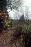
I would not call this stretch of the trail very exciting. There are some views of the river but much of the hiking is on a 4x4 gravel trail that is out in heat of the blazing sun. Some parts are in the bush and that helps - although it means biting insects!
After hiking out 3 km to the Bingemans the trail descended thru a forest and there were lots and lots of camp sites.
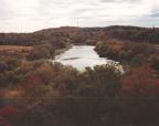
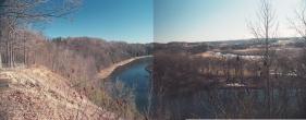
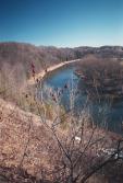
These two pictures are a nice view of the Grand River right at the start
of the hike.
Does a yellow filter help remove haze on B/W pictures? Look and see. (I can't see a difference!)
First a regular color image converted to B/W:
Now an image taken in color, with a yellow filter and it also converted to B/W
A short walk along the river and you can start to see the old landing in Blair (at the bend
in the river). All that remains is a concrete footing that gives a good view of the area.
Full size
Full size
Full size
These views are from the landing. Beyond this point the trail joins the Trans-Canada trail and
proceeds along the highway - not fun on hot sunny summer days.
Full size
Full size
Full size
Full size
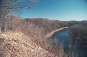
A short 5 min. hike and you're overlooking the river - and the large housing development being
built on the other side. Some of the sewage treatment tanks are visable below.
Full size
Full size
Full size
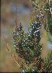
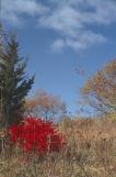
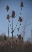
Trails in here tend to be narrow. We didn't see many rasberries although the place is full of
flowers in the spring.
Full size
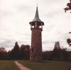
A nice cycling trip from Waterloo follows the Grand River. It's aprox 100 km. roundtrip.
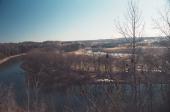
There is a nice hiking trail that follows the river. The river, in this area, is also used for canoeing.
This is where you cross over the river - at a small town.