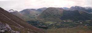
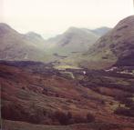
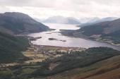
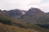
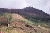
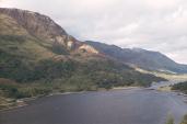
We started our hike by a logging road and then followed the forest up the hill. When we came out of the forest the erosion dammage from the hiking trails were clearly evident and we had no problem going up the hill.
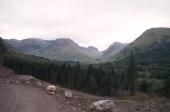
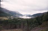
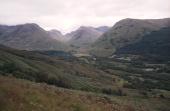
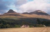
Our hike began by trying to find the trail indicated on the map. We did not find it until we came down!
We started our hike by a logging road and then followed the forest up the hill. When we came out of the
forest the erosion dammage from the hiking trails were clearly evident and we had no problem going up the
hill.


We barely made it to the shoulder where you choose between climbing the Pap and the larger mountain when cloud covered everything. We had problems finding the mountain peak and became misdirected a few times. Only our compass, the steady wind/rain and the odd clearly kept us orientated.
While stuck in cloud waiting we would sometimes see a bit to the one side but not the other. Clearings never
lasted more than 10 seconds or so and cloud would very quickly appear.
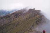
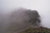
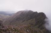
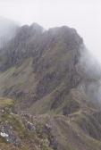
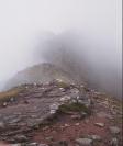
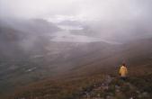
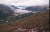
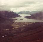
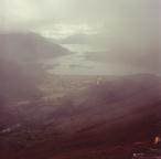
Here is a good example of how the visibility can go from nothing; to hazy to fairly good within seconds. These
two pictures were taken within seconds of each other and most of the time we saw nothing!.
